Video story: Cooling the Yampa river (full length)
As climate change brings warmer weather, Westerners are looking for ways to protect the region’s rivers and streams. In a special report for the Water Desk, Jerd Smith of Fresh Water News explains a strategy for safeguarding Colorado’s Yampa River.
Small farmers wait for California’s groundwater hammer to fall
Farmers, large and small, are beginning to grapple with what the state’s first major groundwater regulation means for them.
Can a grand vision or incremental change solve the Colorado River's challenges?
With talks looming on a new operating agreement for the river, a debate has emerged over the best approach to address its challenges.
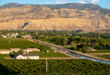
Northwest Colorado ranchers grapple with state requirements to measure, record water use
Irrigators in Northwest Colorado are facing a sea change in how they use their water, and many ranchers are greeting such a shift with reluctance and suspicion.
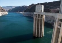
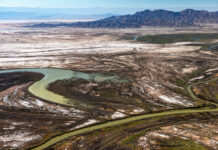
Crisis on the Colorado Part V: Bringing New Life to a Stressed River
The Colorado River has been dammed, diverted, and slowed by reservoirs, strangling the life out of a once-thriving ecosystem. But in the U.S. and Mexico, efforts are underway to revive sections of the river and restore vital riparian habitat for native plants, fish, and wildlife.
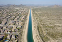
Crisis on the Colorado Part IV: In Era of Drought, Phoenix Prepares for a...
Once criticized for being a profligate user of water, fast-growing Phoenix has taken some major steps — including banking water in underground reservoirs, slashing per-capita use, and recycling wastewater — in anticipation of the day when the flow from the Colorado River ends.
Crisis on the Colorado Part III: Running Dry– New Strategies for Conserving Water
Communities along the Colorado River are facing a new era of drought and water shortages that is threatening their future. With an official water emergency declaration now possible, farmers, ranchers, and towns are searching for ways to use less water and survive.
Crisis on the Colorado Part II: On a Water-Starved River, Drought Is the New...
With the Southwest locked in a 19-year drought and climate change making the region increasingly drier, water managers and users along the Colorado River are facing a troubling question: Are we in a new, more arid era when there will never be enough water?
Crisis on the Colorado Part I: The West’s Great River Hits Its Limits– Will...
As the Southwest faces rapid growth and unrelenting drought, the Colorado River is in crisis, with too many demands on its diminishing flow. Now those who depend on the river must confront the hard reality that their supply of Colorado water may be cut off.
Efforts to relocate an ancient wetland could help determine the fate of a water...
The cities of Aurora and Colorado Springs are looking to develop additional water in Eagle County and divert it to Colorado's Front Range.


