
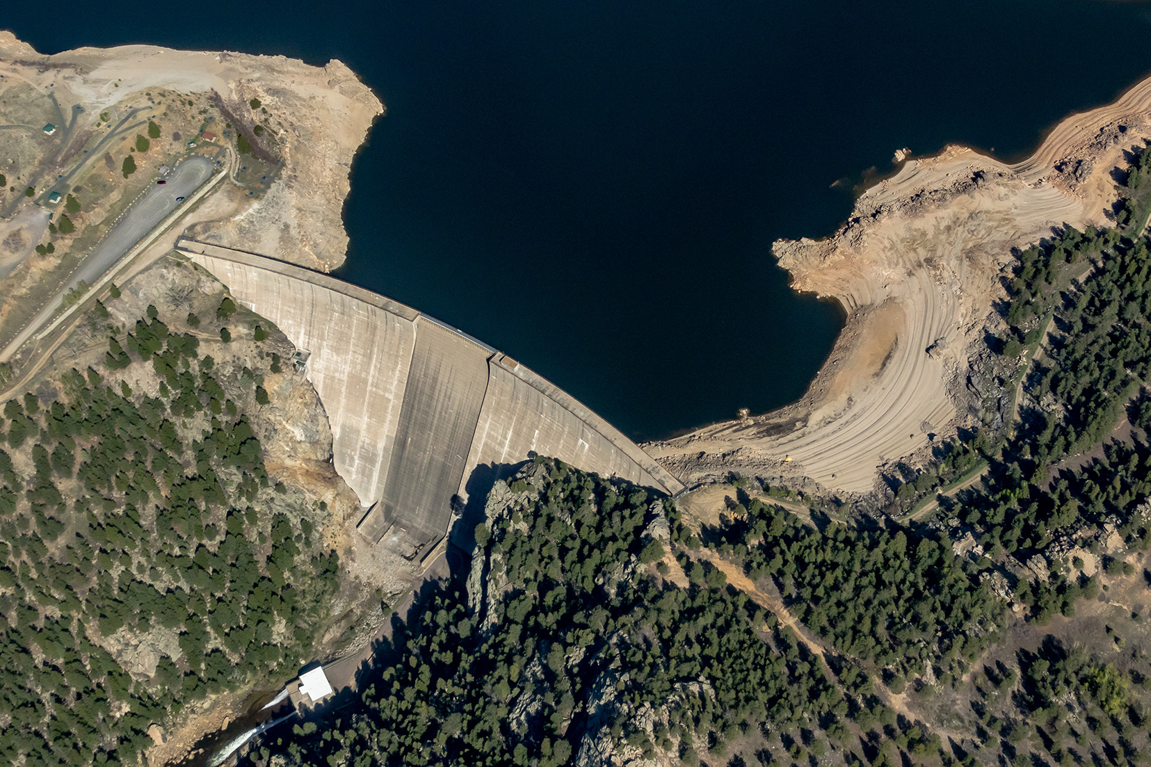
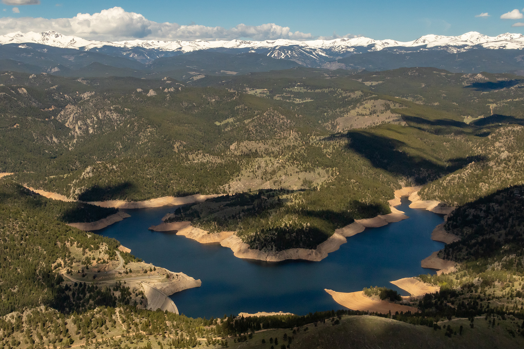
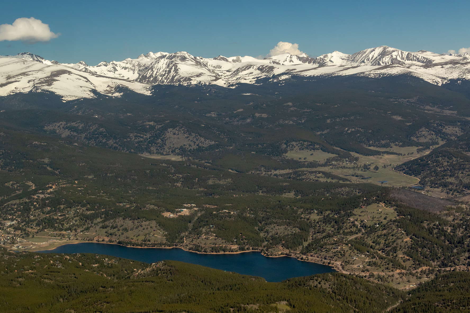
This photo gallery features images shot during a Lighthawk aerial photo flight over Gross Dam and Reservoir, west of Boulder.
Denver Water has proposed raising the dam by 131 feet to increase the reservoir’s storage capacity, but the plan is opposed by some neighbors and environmental groups. Gross Reservoir lies along South Boulder Creek and receives water from the western side of the Continental Divide through the Moffatt Tunnel.
| Date | May 31, 2019 |
| Location | Gross Dam and Reservoir, southwest of Boulder, Colorado (map) |
| Photographer | Mitch Tobin |
| Organization | The Water Desk at the University of Colorado Boulder |
| Rights | Free to reuse under Creative Commons license, with credit to “Mitch Tobin/WaterDesk.org, with aerial support provided by Lighthawk” |
Featured images and descriptions
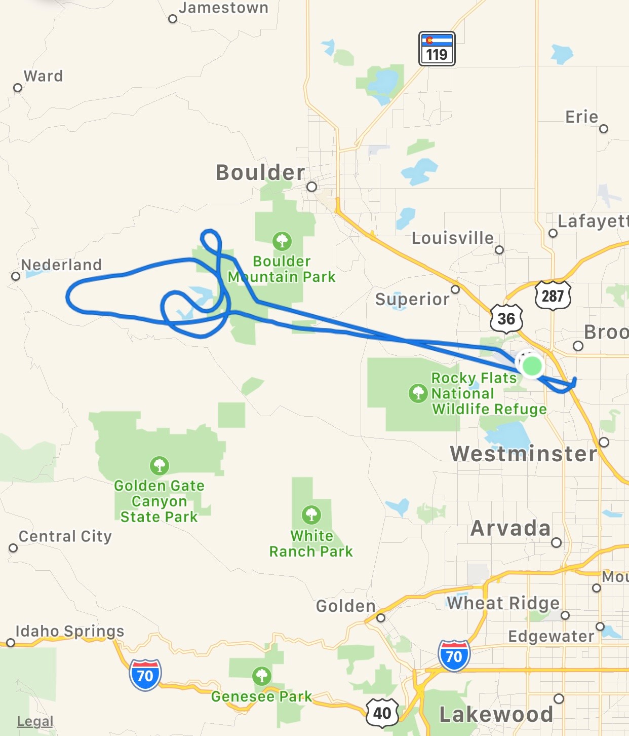
Map of the flight route
All images in this set
View this gallery for high-resolution downloads »


