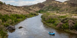
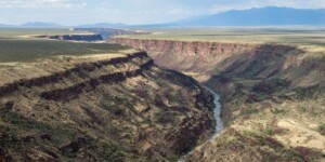
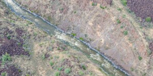
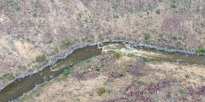
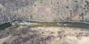
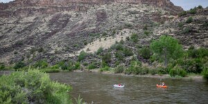
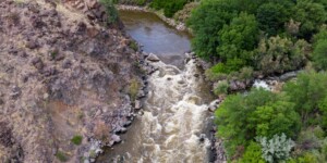
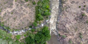
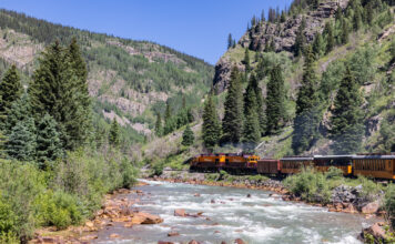
This page features ground-based and drone-captured photos and videos of the Rio Grande in northern New Mexico near the Taos Junction Bridge and the river’s confluence with the Rio Pueblo de Taos.
In this stretch, the river emerges from the stunning Rio Grande Gorge, part of a classic rift valley. The bridge is a popular spot for rafters to start and begin trips on the river. The Rio Pueblo de Taos begins near Taos in the Sangre de Cristo Mountains and flows about 33 miles before reaching the Rio Grande.
In 2013, President Barack Obama used the Antiquities Act to create the 242,555-acre Rio Grande del Norte National Monument, which includes the Rio Grande Gorge and other public lands in Taos County. The monument, which is managed by the Bureau of Land Management, includes a portion of the Rio Grande that has been protected as a Wild and Scenic River.
| Date | June 29, 2023 |
| Location | Taos Junction Bridge, New Mexico (map) |
| Credit | Mitch Tobin/The Water Desk |
| Rights | Free to reuse under Creative Commons license. |
Selected images from the gallery
Click to enlarge
To use these images
Please read and consent to the terms and license below for access to the download page.
To help us continue to offer this free material, we ask that you please:
- Credit the original photographer and the Water Desk as the source
- Email us a link to the published story at waterdesk@colorado.edu
- Consider sending The Water Desk your ideas for future content that we could add to the library
- Keep supporting professional photojournalists by hiring them for assignments


