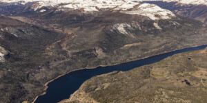
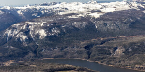
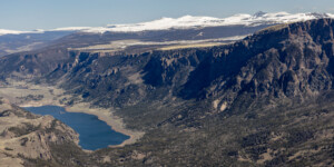
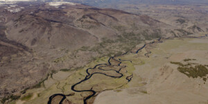
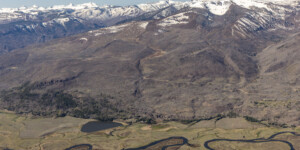
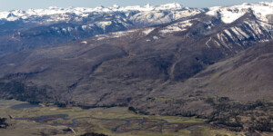
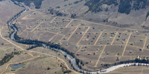
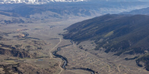
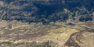
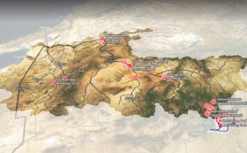
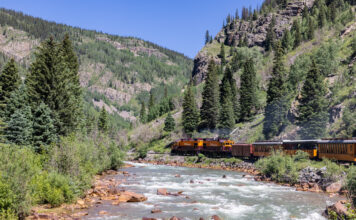
This page in our free multimedia library features aerial photos of the Rio Grande’s headwaters in southwest Colorado.
The Rio Grande begins in the San Juan Mountains and travels some 1,900 miles through Colorado, New Mexico and along the border between Texas and Mexico.
These photos cover the upper reaches of the river, west of Creede, Colorado, and include Rio Grande Reservoir, which was created more than a century ago to store water for the San Luis Valley downstream.
“The original dam was constructed in 1914, and has been enlarged and modified on several occasions since,” according to the Colorado Water Conservation Board, which provided $30 million in loans and grants for a recent rehabilitation project.
Water Desk grantee Jerd Smith wrote about the challenges facing the Rio Grande in a 2022 project.
See this page for drone and ground-based photos of the Rio Grande headwaters region in April 2021.
| Date | May 23, 2024 |
| Location | Near Rio Grande Reservoir, Colorado (map) |
| Credit | Mitch Tobin/The Water Desk with aerial support by LightHawk |
| Rights | Free to reuse under Creative Commons license. |
Selected images from the gallery
Click to enlarge
To use these images
Please read and consent to the terms and license below for access to the download page.
To help us continue to offer this free material, we ask that you please:
- Credit the original photographer and the Water Desk as the source
- Email us a link to the published story at waterdesk@colorado.edu
- Consider sending The Water Desk your ideas for future content that we could add to the library
- Keep supporting professional photojournalists by hiring them for assignments


