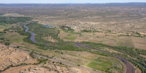
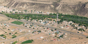
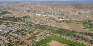
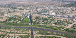
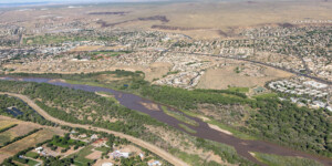
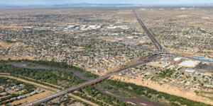
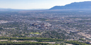
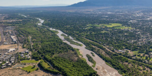
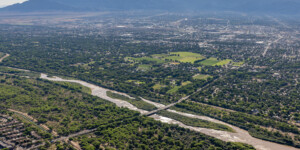
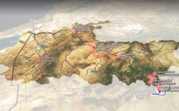
This page in our free multimedia library features aerial photos of the Rio Grande near Albuquerque, N.M.
Albuquerque relies on pumped groundwater and surface water from the Colorado River Basin that is diverted to the Rio Grande as part of the San Juan Chama Drinking Water Project, completed in 2008.
Like the Colorado River, the Rio Grande’s flow depends heavily on the mountain snowpack and has been depleted by warming temperatures (see this story by Water Desk grantees Jim Robbins and Ted Wood for more on climate change’s impact).
Prior to the construction of upstream dams, the Rio Grande sometimes flooded the region, as noted by the Middle Rio Grande Conservancy District:
“At the time of the Conservancy’s creation in 1923, the flow of the Rio Grande through central New Mexico fluctuated dangerously and unpredictably. Development and deforestation in Colorado, since the 1880s, had raised the levels of silt in the river, which led to increased sedimentation. These deposits then began to collect in the middle Rio Grande valley—where the river first widens and slows—thus raising the level of the riverbed and the surrounding water table. The shallow water table throughout the valley turned over 60,000 acres of farmland into swamps or alkali and salt grass fields. Frequent floods often destroyed entire villages; one scoured a path right through what is now downtown Albuquerque.”
Our multimedia library contains other aerial and ground-based photos of the Rio Grande:
Rio Grande Gorge (flight), May-June 2024
Rio Grande Gorge (ground), June 2024
Rio Grande Gorge (drone/ground), August 2022
Rio Grande and Cochiti Lake aerials, June 2024
San Luis Valley and Rio Grande aerials, May 2024
Rio Grande headwaters aerials, May 2024
Rio Grande near San Antonio, N.M., August 2022
Rio Grande near Fort Craig, N.M. August 2022
| Date | June 25, 2024 |
| Location | Near Albuquerque, New Mexico (map) |
| Credit | Mitch Tobin/The Water Desk with aerial support by LightHawk |
| Rights | Free to reuse under Creative Commons license. |
Selected images from the gallery
Click to enlarge
To use these images
Please read and consent to the terms and license below for access to the download page.
To help us continue to offer this free material, we ask that you please:
- Credit the original photographer and the Water Desk as the source
- Email us a link to the published story at waterdesk@colorado.edu
- Consider sending The Water Desk your ideas for future content that we could add to the library
- Keep supporting professional photojournalists by hiring them for assignments


