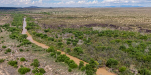
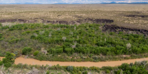
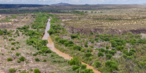
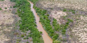
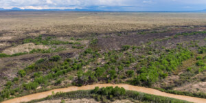
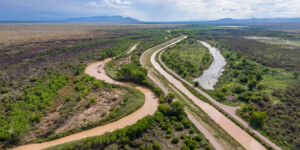
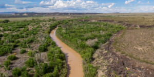
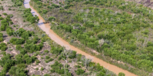
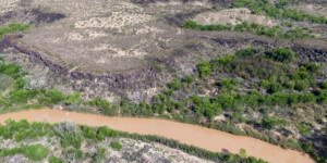
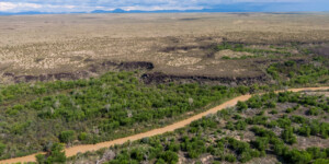
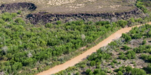
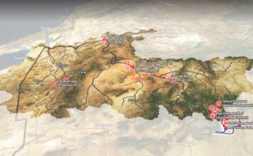
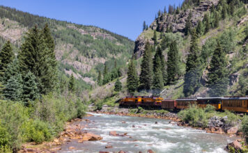
This page features drone-captured photos and videos of the Rio Grande near Fort Craig, New Mexico
Established in 1854, Fort Craig was the site of the largest Civil War battle in the Southwest. The fort was also used as a base for attacking the Indigenous people of the region. “Military excursions from Fort Craig pursued such notable Apache leaders as Geronimo, Victorio and Nana,” according to the Bureau of Land Management, which manges the historic site. “The Fort was home to Buffalo Soldiers of the 9th Cavalry and 38th and 125th Infantry, the predominantly Hispanic New Mexico Volunteers and New Mexico Militia, and household names like Kit Carson, Rafael Chacуn and Captain Jack Crawford.”
Prior to the fort’s construction, the site was located along El Camino Real de Tierra Adentro, a 1,590-mile road between Mexico City and San Juan Pueblo near Santa Fe. For centuries, the area was a critical resting spot for travelers along this vital trade route.
“After a week or more on a segment of the trail known as the Jornada del Muerto (Journey of Death), traveling without water and in constant fear of Apache raids, weary northbound caravans rested and watered their exhausted animals near Fort Craig,” according to the BLM.
The area is now part of the El Camino Real de Tierra Adentro National Historic Trail. “Blazed atop a network of indigenous footpaths and trade corridors that connected Mexico’s ancient cultures with the equally ancient cultures of the American Southwest, this highway was the oldest of the great highways heading north,” according to the National Park Service, which oversees the historic trail. “Extended by segments throughout the 16th century, it was at one time the longest road in North America.”
| Date | August 22, 2022 |
| Location | Fort Craig, New Mexico (map) |
| Credit | Mitch Tobin/The Water Desk |
| Rights | Free to reuse under Creative Commons license. |
Selected images from the gallery
Click to enlarge
To use these images
Please read and consent to the terms and license below for access to the download page.
To help us continue to offer this free material, we ask that you please:
- Credit the original photographer and the Water Desk as the source
- Email us a link to the published story at waterdesk@colorado.edu
- Consider sending The Water Desk your ideas for future content that we could add to the library
- Keep supporting professional photojournalists by hiring them for assignments


