
Use this interactive map to browse our expanding collection of free-to-use photos and videos captured by drones, planes and ground-based photographers.
Longform Story CSS Block
Full width article CSS block
Aerial and drone imagery resources from The Water Desk
Water Buffs podcast episode
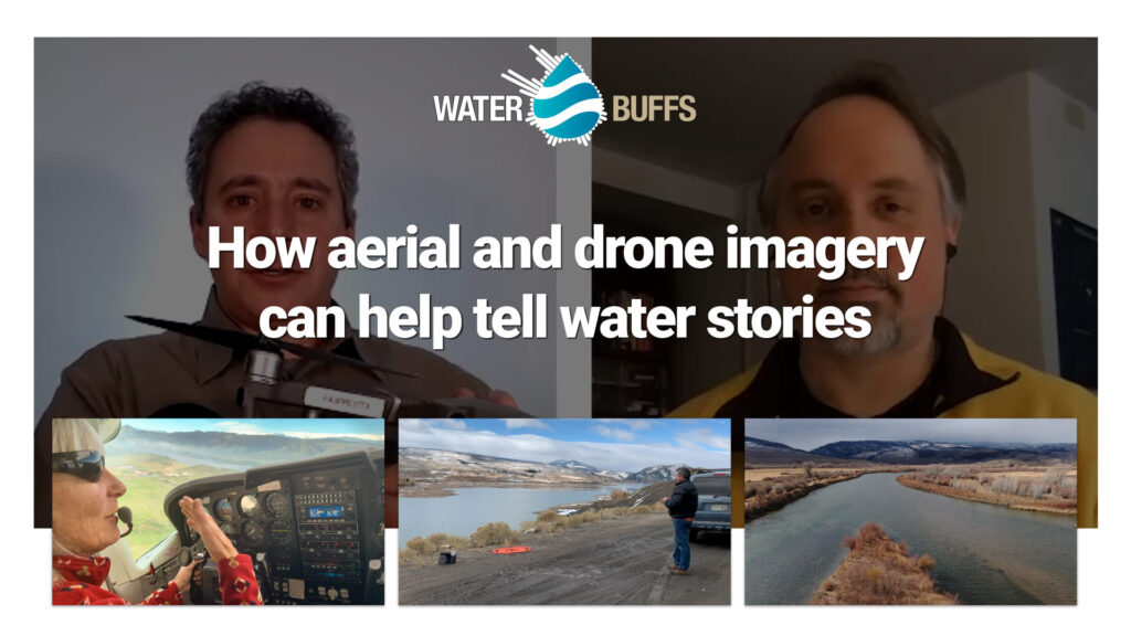
Aerial imagery captured with planes and drones can help illustrate the lay of the land and explain both natural and manmade water systems.
The Water Desk’s open-source multimedia library offers both still imagery and video footage from a bird’s-eye view. In this episode, Water Desk Director Mitch Tobin explains the initiative’s partnership with LightHawk and his own work filming water-related locations with a drone.
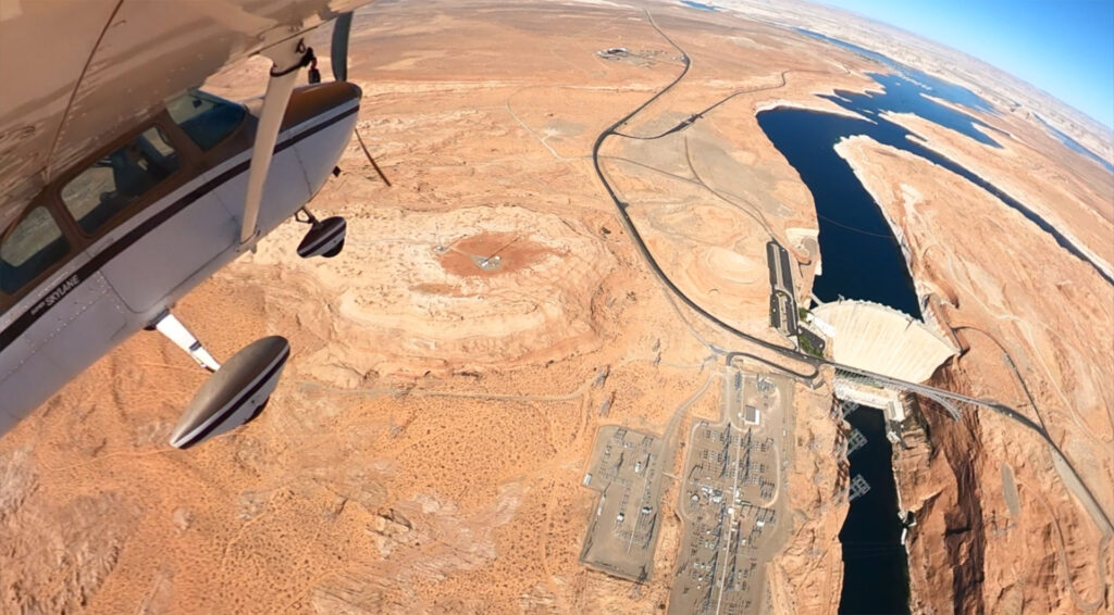
The Water Desk and LightHawk
The Water Desk partners with LightHawk to help journalists gain a new perspective and integrate aerial imagery into their work.
LightHawk is a conservation nonprofit that specializes in using small aircraft flights to accelerate conservation in a variety of ways. For journalists, LightHawk liaisons with expert local conservation guides and matches them with flights donated by a network of 300 volunteer pilots who donate their expertise, time, aircraft and fuel.
A note on pandemic restrictions
Due to the pandemic, LightHawk is currently not accepting passengers, but we are partnering with them to capture images and videos using GoPro cameras mounted on the planes.
Are you a journalist interested in a flight to support your coverage of Western water issues? Please contact us so we can explain how this program works. These flights are provided at no cost to you.