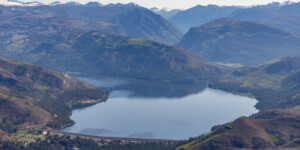
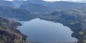
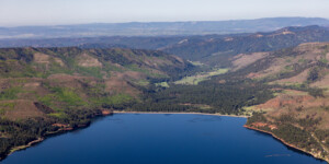
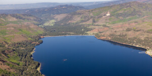
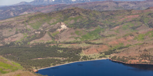
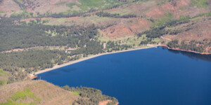
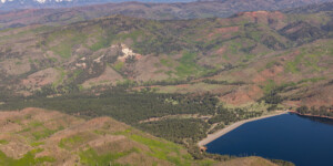
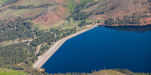
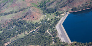
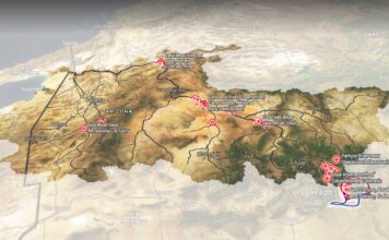
This page in our free multimedia library features aerial photos of Vallecito Reservoir near Durango, Colorado.
The reservoir is located in the San Juan Mountains and along the Los Pinos River, a tributary of the San Juan River that’s also referred to as the Pine River.
Vallecito Dam was built from 1938 to 1942 as part of the federal Pine River Project. The dam is 162 feet high and creates a reservoir with a capacity of 129,700 acre-feet.
“The authorizing purposes for construction of the Project were twofold: flood control and irrigation,” according to the Pine River Irrigation District, which notes that “Vallecito Dam prevents the flooding of crops, farmland, and structures along the Pine River during spring runoff and fall thunderstorms by storing the floodwater for controlled releases to benefit irrigation of Indian and Non-Indian lands . . . ” The reservoir also supplies municipal and industrial water to Bayfield and Ignacio, plus rural areas in southeast La Plata County.
Vallecito Reservoir is also a popular recreation area for boating, fishing, camping and other activities, as well as winter sports such as snowshoeing, skating and cross-country skiing.
| Date | May 23, 2024 |
| Location | Vallecito Reservoir, Colorado (map) |
| Credit | Mitch Tobin/The Water Desk with aerial support by LightHawk |
| Rights | Free to reuse under Creative Commons license. |
Selected images from the gallery
Click to enlarge
To use these images
Please read and consent to the terms and license below for access to the download page.
To help us continue to offer this free material, we ask that you please:
- Credit the original photographer and the Water Desk as the source
- Email us a link to the published story at waterdesk@colorado.edu
- Consider sending The Water Desk your ideas for future content that we could add to the library
- Keep supporting professional photojournalists by hiring them for assignments


