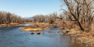
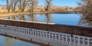
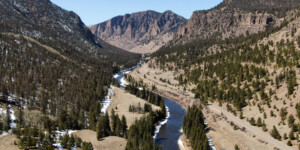
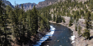
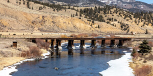
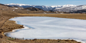
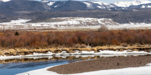
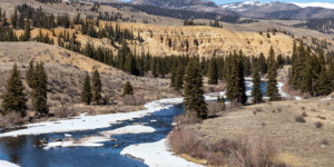
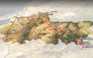
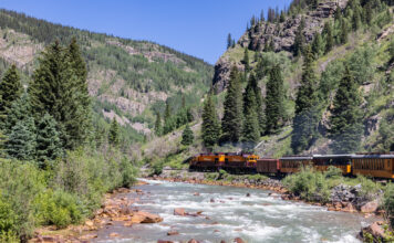
This page features drone-captured and ground-based photos and videos of the Rio Grande near its headwaters in southern Colorado.
The Rio Grande begins in the San Juan Mountains of south-central Colorado and travels some 1,900 miles through Colorado, New Mexico and along the border between Texas and Mexico.
In its upper reaches, the Rio Grande Basin is adjacent to the Colorado River Basin, which lies on the other side of the Continental Divide. Like the Colorado, the Rio Grande faces major threats and challenges in the 21st century, including drought, climate change, pollution, invasive species, and human overuse of a limited water supply.
These photos and videos were captured near the Rio Grande’s headwaters in southern Colorado, upstream from Del Norte and near the town of Creede. This scenic stretch of the river is popular with anglers and is lined by the abandoned tracks of the Denver and Rio Grande Western Railroad.
Learn more:
| Date | April 1, 2021 |
| Location | Along the Rio Grande, upstream from Del Norte, Colorado (map) |
| Credit | Mitch Tobin/The Water Desk |
| Rights | Free to reuse under Creative Commons license. |
Selected images from the gallery
Click to enlarge
To use these images
Please read and consent to the terms and license below for access to the download page.
To help us continue to offer this free material, we ask that you please:
- Credit the original photographer and the Water Desk as the source
- Email us a link to the published story at waterdesk@colorado.edu
- Consider sending The Water Desk your ideas for future content that we could add to the library
- Keep supporting professional photojournalists by hiring them for assignments


