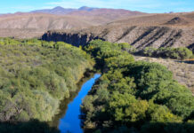
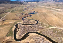
Photos and videos: Rio Grande Gorge, August 2022
This page features ground-based and drone-captured images and videos of the Rio Grande Gorge, near Taos, N.M.
The Rio Grande Gorge is a striking canyon up to 800 feet deep...
Photos: Gila River, Arizona
This page features imagery of the Gila River in Arizona.
Flowing through New Mexico and Arizona, the 649-mile Gila River is a tributary to the Colorado River, though today only...
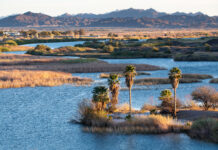
Photos: Senator Wash and Squaw Lake, February 2021
This page features photos of Senator Wash Reservoir and Squaw Lake along the Lower Colorado River.
Located just above Imperial Dam on the California/Arizona border, both Senator Wash and Squaw...
Photos: Xeriscaping in Phoenix
This page features photos of xeriscaping in Phoenix, Arizona.
Xeriscaping is the practice of designing landscapes to reduce or eliminate the need for irrigation. Homeowners can opt for yards filled...
Photos and videos: Dolores River, September 2020
This page features drone-captured images and videos of the Dolores River in southwest Colorado.
The Dolores River begins in the San Juan Mountains and travels about 230 miles to meet...
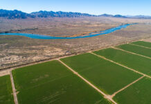
Photos: Colorado River Indian Tribes Reservation
This page features aerial and ground-based photos of the Colorado River Indian Tribes Reservation near Parker, Arizona.
Created by the federal government in 1865, the Colorado River Indian Tribes (CRIT)...
Photos: Fishing on the Green River
This page features fishing on the Green River in Utah.
The Green River flows through Wyoming, Utah and Colorado, running 730 miles downriver before connecting with the Colorado River. About...
Photos: Boulder Creek and Gross Reservoir
This page features photos of Gross Reservoir, Boulder Creek and the creek’s 2013 floods on Colorado’s Front Range.
Located in Boulder County, Gross Reservoir was created as a water storage...
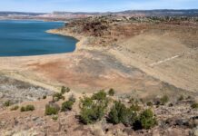
Photos: Abiquiu Lake, March 2022
This page in our free multimedia library features photos of Abiquiu Lake, which impounds the Rio Chama in northwest New Mexico.
Situated between the Sangre de Cristo and San Juan...
Photos and videos: White River Flight, May 2021
This page features aerial imagery of the White River in northwest Colorado and northeast Utah.
The White River is a tributary of the Green River, which is the Colorado River’s...


