
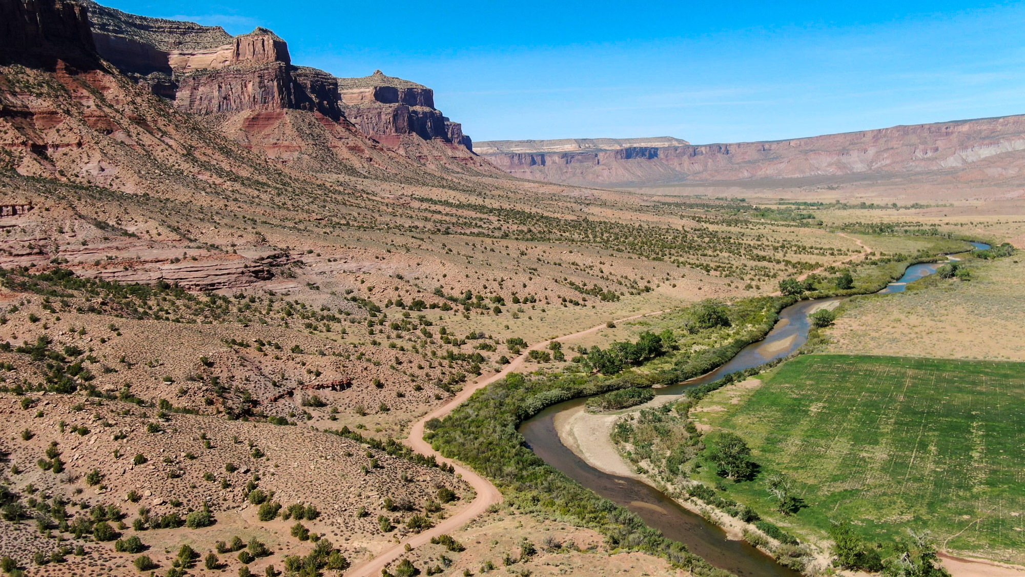
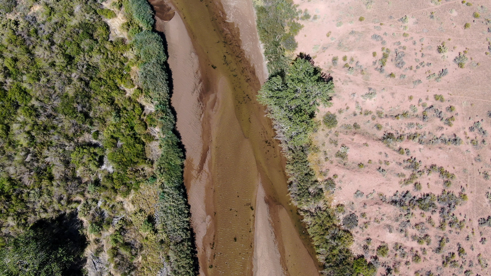
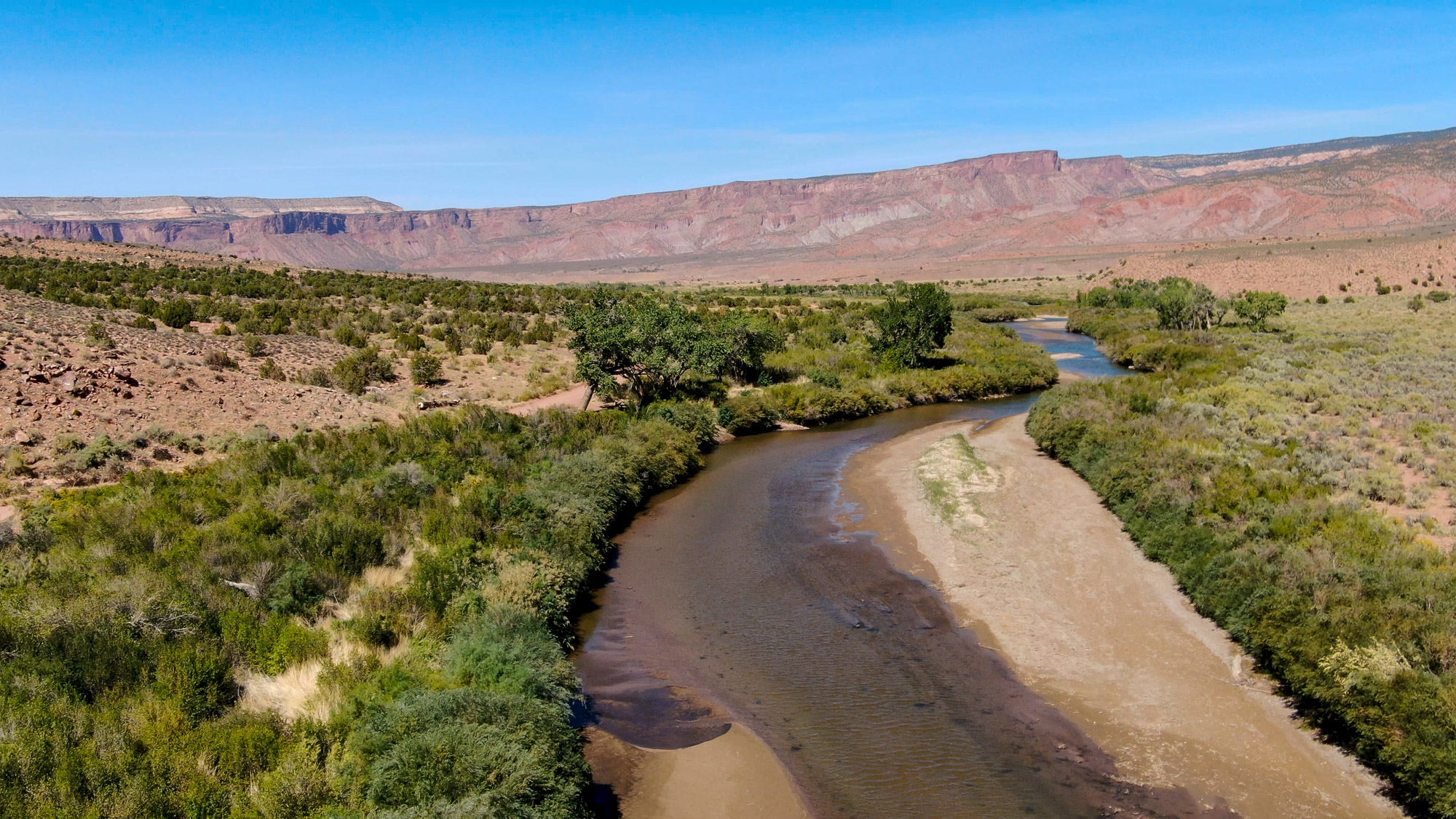
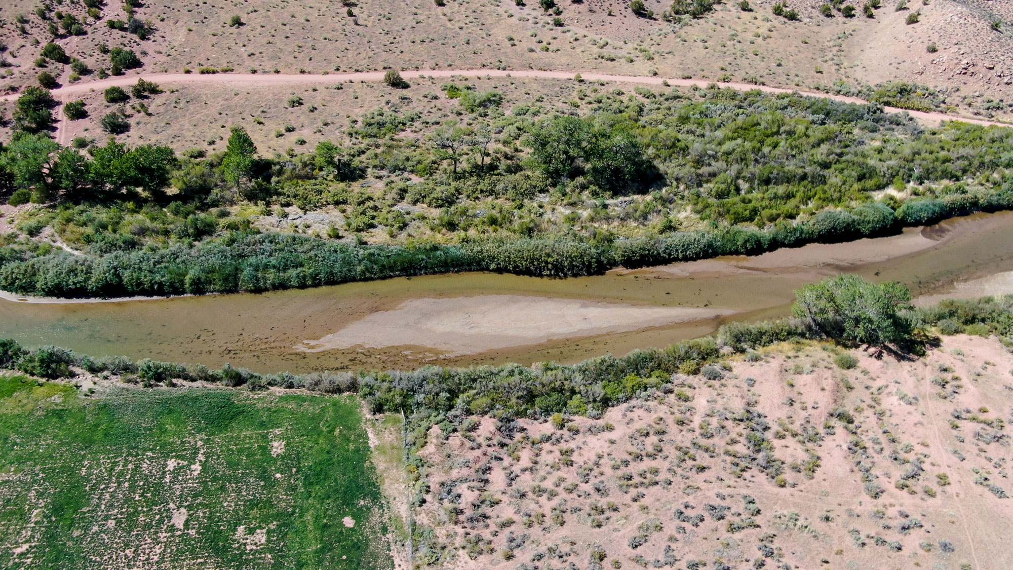
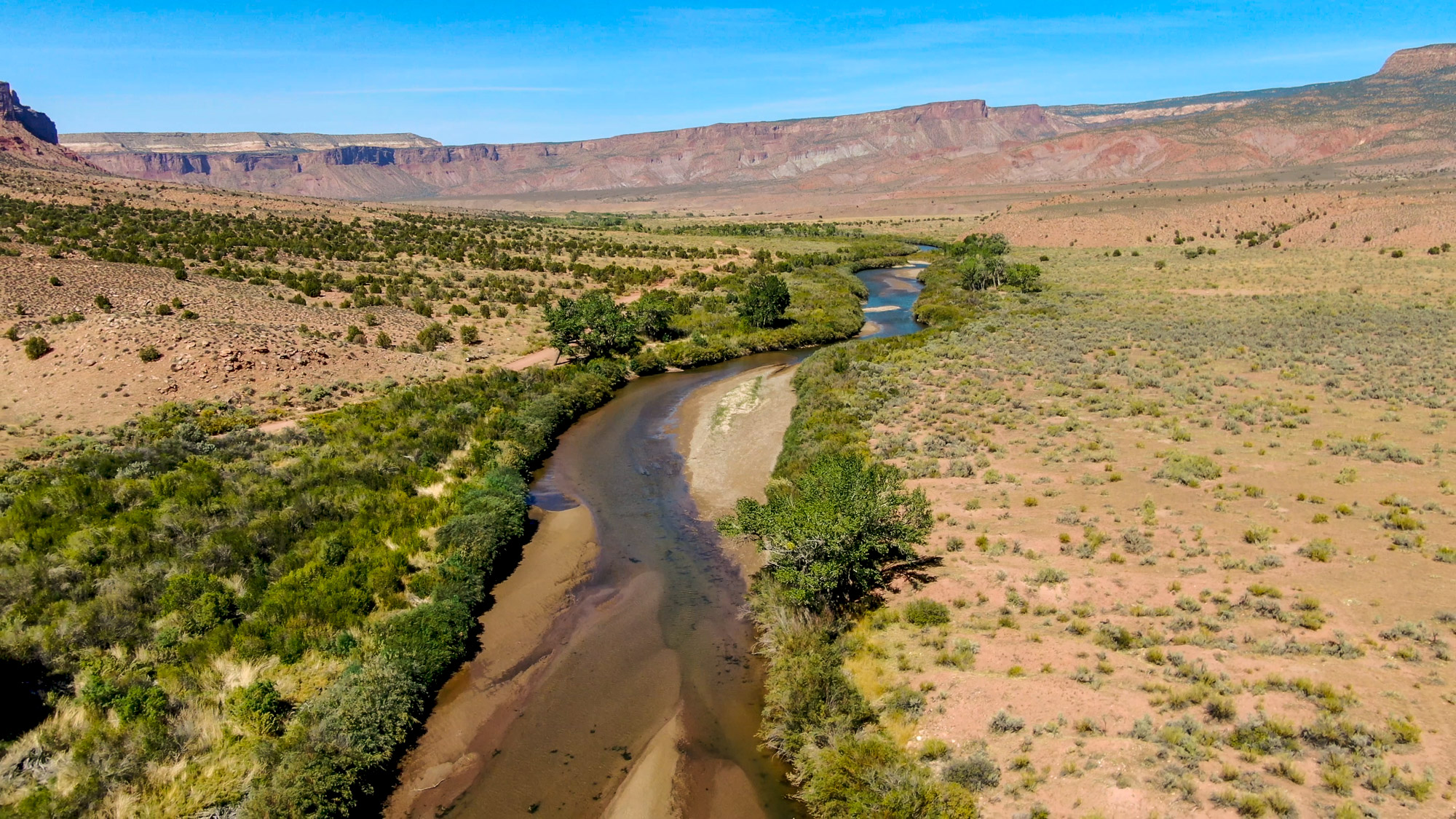
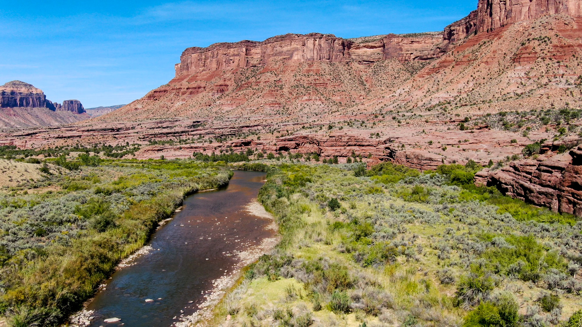
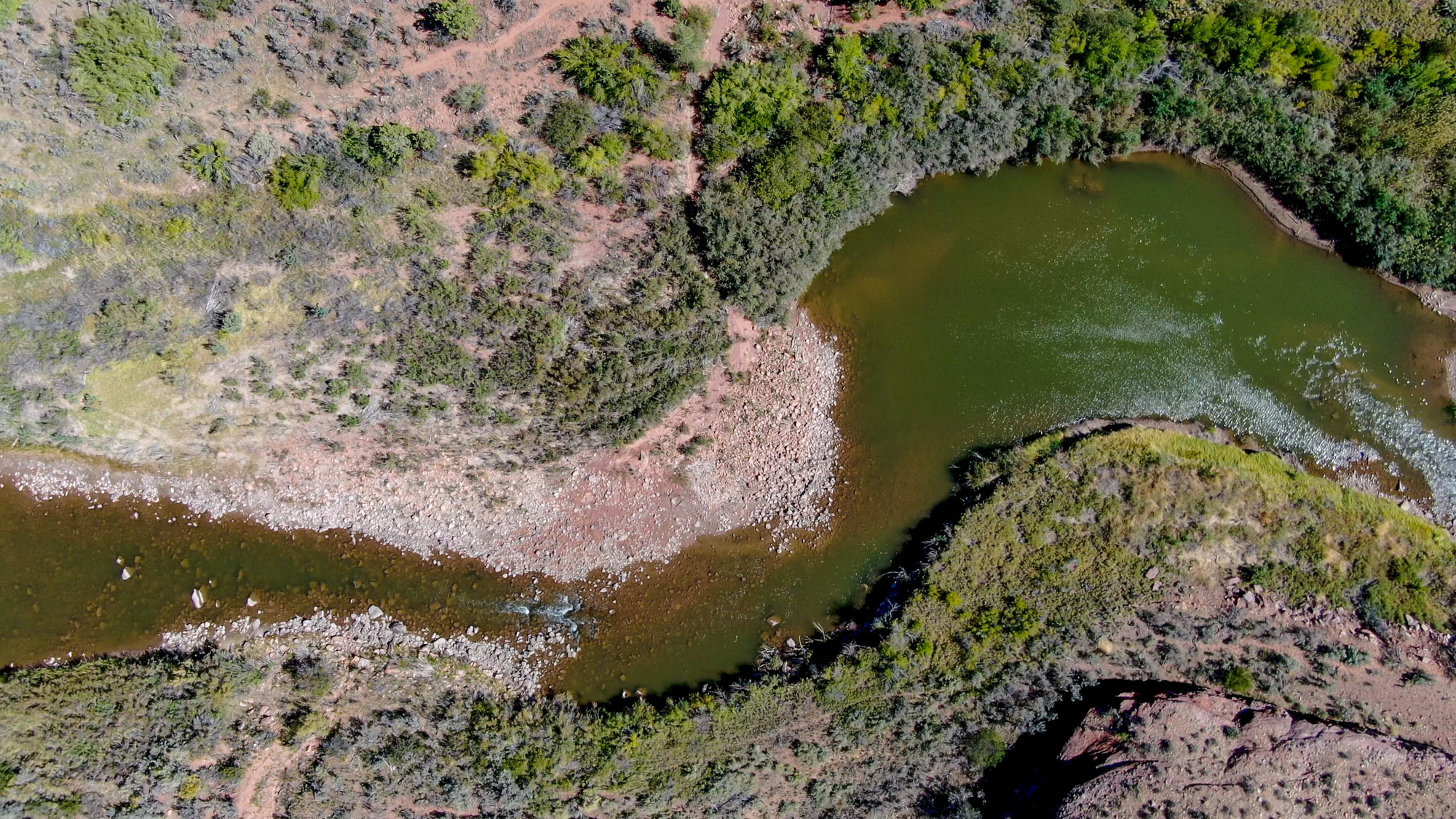
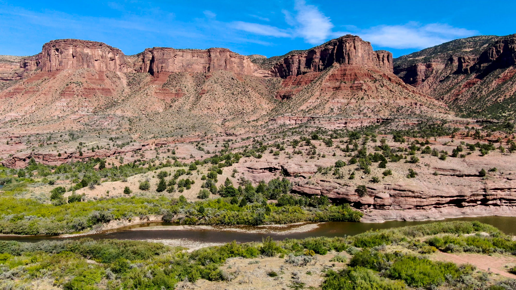
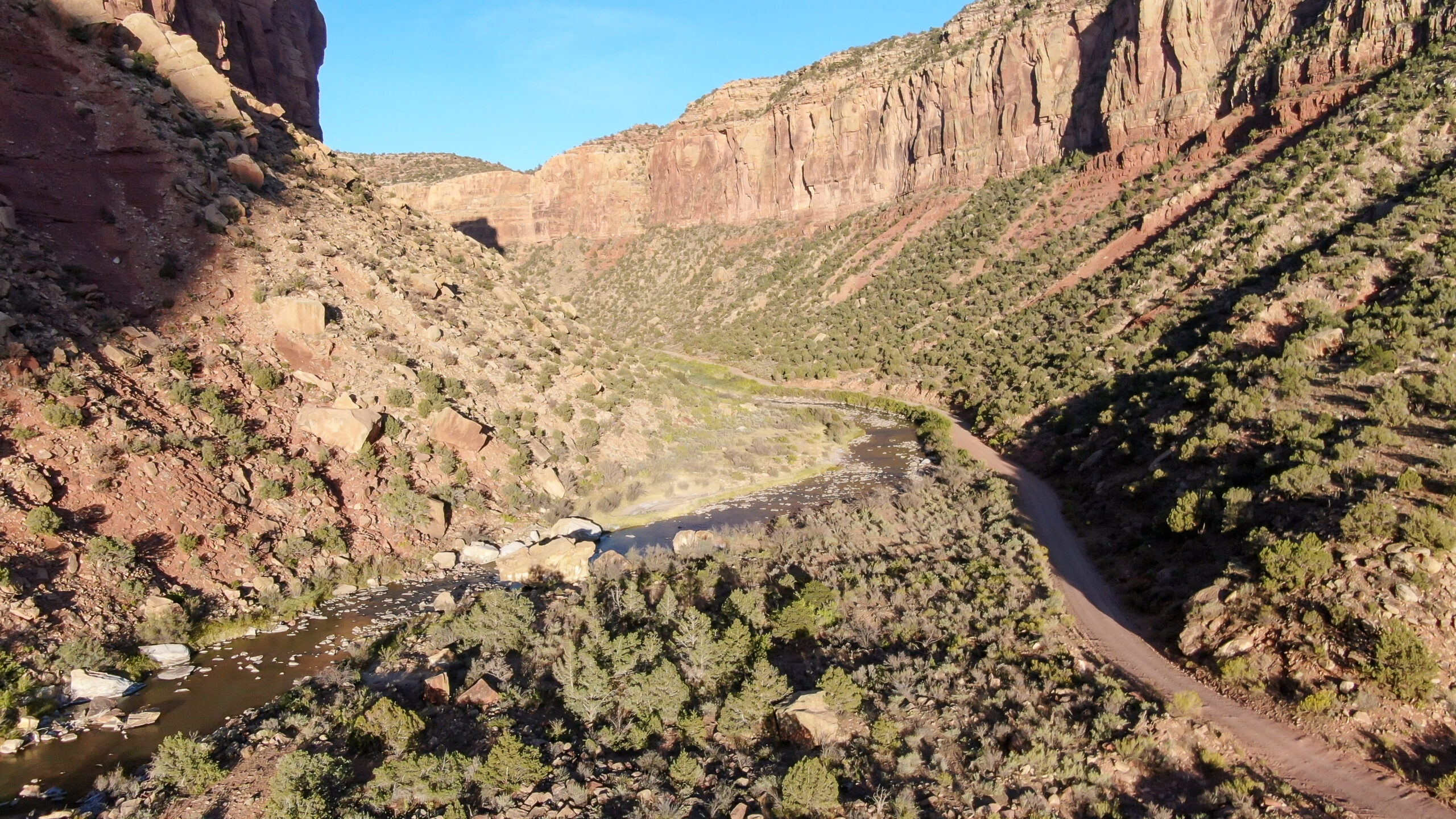
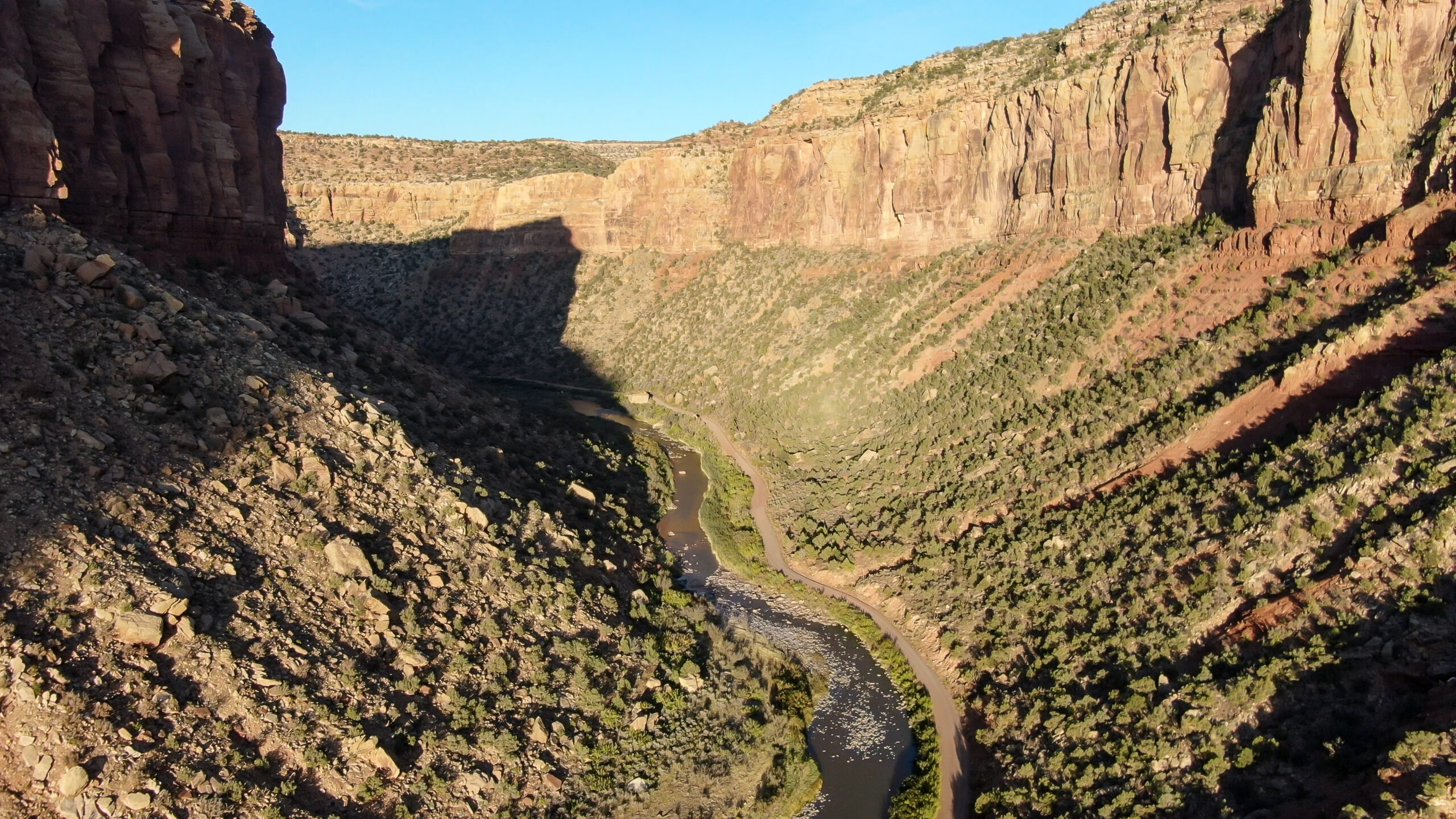
This page features drone-captured images and videos of the Dolores River in southwest Colorado.
The Dolores River begins in the San Juan Mountains and travels about 230 miles to meet the Colorado River in southeast Utah.
The flow of the Dolores and the river’s ecology have been severely impacted by the construction of McPhee Dam, which was completed in 1984 and built primarily to supply irrigation water. The ongoing megadrought in the Southwest has hit the Dolores especially hard, with stretches of the river drying up in recent years.
“In many ways, the situation on the Dolores River is a microcosm of issues plaguing many communities in the American West where rivers are over-allocated, suffering from diminishing water supply and increased demand,” writes journalist Jonathan Romeo in a 2021 feature on the Dolores.
In July 2022, Colorado’s U.S. Senators, Michael Bennet and John Hickenloooper, unveiled a bill that would designate a portion of Dolores Canyon as a National Conservation Area. The bill would protect more than 68,000 acres of federal lands and incorporate 75 miles of the river.
Our free multimedia library also has photos and videos of the Hanging Flume along the Dolores River.
Learn more:
- “The disappearing Dolores River,” Jonathan Romeo, The Durango Telegraph, June 17, 2021
- “Colorado’s Dolores River should be raging through canyons — instead it’s nearly dry,” National Public Radio, November 2, 2021
- “They’re Gonna Die”: Drought Dooms Trout in Colorado’s Dolores River—and Probably Beyond,” Sage Marshall, Field and Stream, June 25, 2021
- “Bill to protect Dolores River Canyon is introduced in U.S. Senate,” Jimi Mimiaga, The Cortez Journal, July 15, 2022
| Date | September 2020 |
| Location | Dolores River near Gateway, Colorado (map) and Bedrock, Colorado (map) |
| Credit | Mitch Tobin/The Water Desk |
| Rights | Free to reuse under Creative Commons license. |
Selected images from the gallery
Click to enlarge


To use these images
Please read and consent to the terms and license below for access to the download page.
To help us continue to offer this free material, we ask that you please:
- Credit the original photographer and the Water Desk as the source
- Email us a link to the published story at waterdesk@colorado.edu
- Consider sending The Water Desk your ideas for future content that we could add to the library
- Keep supporting professional photojournalists by hiring them for assignments


