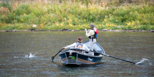
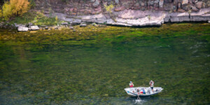
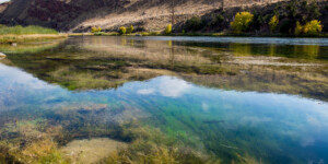
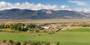
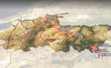
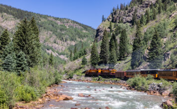
This page features fishing on the Green River in Utah.
The Green River flows through Wyoming, Utah and Colorado, running 730 miles downriver before connecting with the Colorado River. About 450 of those miles run through Utah with the river entering the state in the north through Flaming Gorge and Uinta Mountains. The river maintains temperatures between 40 to 60 degrees Fahrenheit, allowing it to be a prime area for fish, such as trout, to thrive.
In Utah, the Green River is home to world-class fly fishing, rafting and guided fishing trips. The river’s popular fishing area is split into three sections: A, B, and C. The sections flow from Flaming Gorge to Little Hole (A), Little Hold to Indian Crossing (B) and Indian crossing to the Colorado/Utah border (C). While a higher quantity of fish can be caught in section A, the fish tend to be smaller there as opposed to section C where fewer but larger fish tend to be caught.
At the base of section A lies the Flaming Gorge Dam. The 502 foot-tall dam, which was officially dedicated in 1964, stores water and produces hydroelectric power. The dam was originally going to be built at Whirlpool Canyon, but conservationists pushed to switch the site to Flaming Gorge. The dam has transformed the river both upstream and downstream, but it now provides steady water flows and temperatures year-round to the 14,000 trout that inhabit each mile of water below the dam.
Learn More:
“Fishing Green River.” Utah Office of Tourism.
Roy Webb. “Green River.” Utah Division of State History.
“Flaming Gorge Dam.” Bureau of Reclamation.
| Date | September 2012 |
| Location | Green River, Utah (map) |
| Credit | Ted Wood/The Water Desk |
| Rights | Free to reuse under Creative Commons license. |
Selected images from the gallery
Click to enlarge
To use these images
Please read and consent to the terms and license below for access to the download page.
To help us continue to offer this free material, we ask that you please:
- Credit the original photographer and the Water Desk as the source
- Email us a link to the published story at waterdesk@colorado.edu
- Consider sending The Water Desk your ideas for future content that we could add to the library
- Keep supporting professional photojournalists by hiring them for assignments


