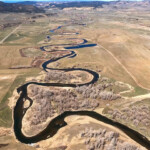
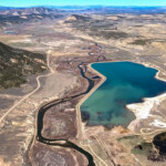
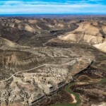
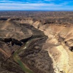
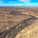
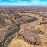
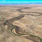
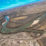
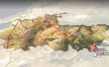
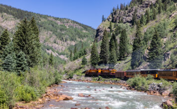
This page features aerial imagery of the White River in northwest Colorado and northeast Utah.
The White River is a tributary of the Green River, which is the Colorado River’s largest tributary. High in the Flat Tops Wilderness, the White River begins its nearly 200-mile journey, passing through the Colorado cities of Meeker and Rangely on the way to meeting the Green in northeast Utah.
Although the White River begins in a relatively lush, high-altitude setting, much of its route is through a more arid landscape. Several small reservoirs impound the river’s flow and a new dam has been proposed by the Rio Blanco Water Conservancy between Meeker and Rangely.
Thanks to LightHawk for the aerial support for this flight.
Learn more:
State of the River, Lucas Turner, The Herald Times, July 16, 2021
Judge dismisses several water uses in White River reservoir case, Heather Sackett, Aspen Journalism, January 5, 2021
Questions in North Park as Colorado makes case for new rules to measure water diversions, Allen Best, Fresh Water News, November 12, 2021
| Date | May 2021 |
| Location | Flight traveled downstream from Rangely to Meeker, Colorado, then to the confluence with the Green River in Utah. |
| Credit | Aerial support provided by LightHawk and pilot David Cole |
| Rights | Free to reuse under Creative Commons license. |
Selected images from the gallery
Click to enlarge
To use these images
Please read and consent to the terms and license below for access to the download page.
To help us continue to offer this free material, we ask that you please:
- Credit the original photographer and the Water Desk as the source
- Email us a link to the published story at waterdesk@colorado.edu
- Consider sending The Water Desk your ideas for future content that we could add to the library
- Keep supporting professional photojournalists by hiring them for assignments


