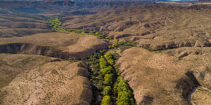
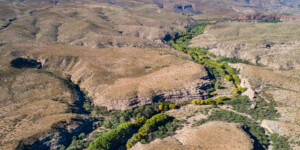
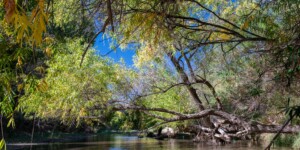
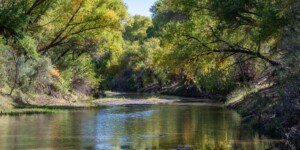
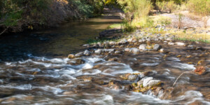
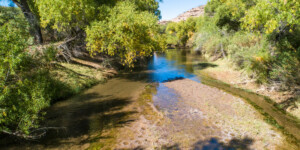
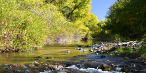
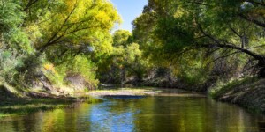
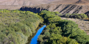
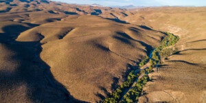
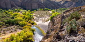
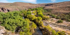
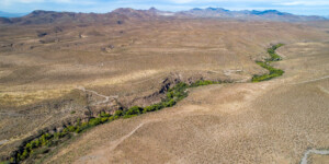
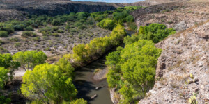
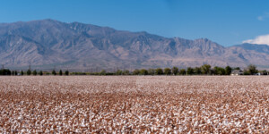
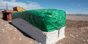
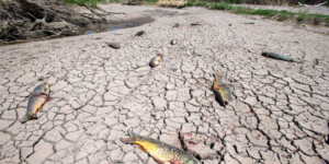
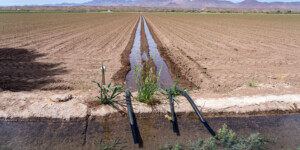
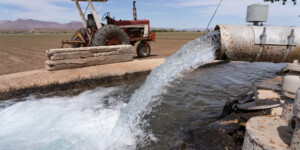
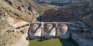
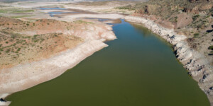
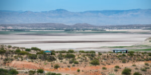
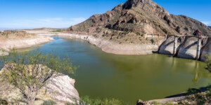
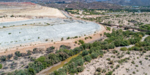
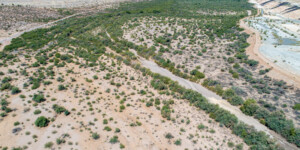
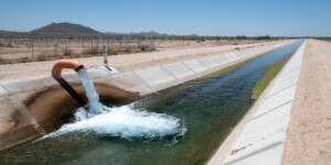
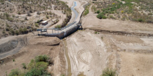
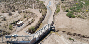
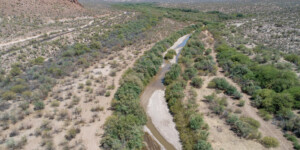
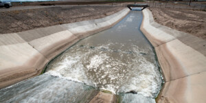
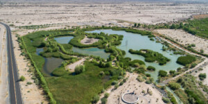
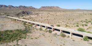
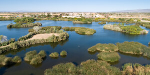
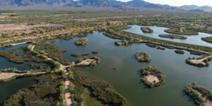
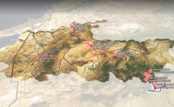
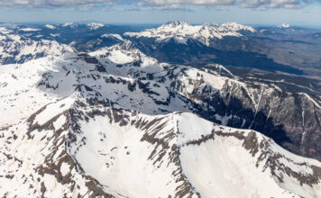
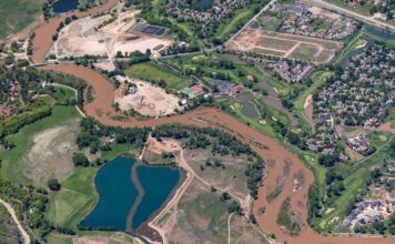
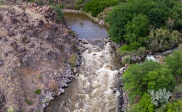
This page features imagery of the Gila River in Arizona.
Flowing through New Mexico and Arizona, the 649-mile Gila River is a tributary to the Colorado River, though today only a small fraction of its water makes it that far.
Agriculture and an influx of people to the Gila’s 60,000-square-mile watershed has led to large diversions on the river and its tributaries, but a recent diversion proposal in New Mexico was rejected.
The Gila begins in the mountains of southwest New Mexico, in the nation’s first federal wilderness area. Its watershed includes the Phoenix and Tucson metropolitan areas, where there are not only five million residents but also irrigated farms growing alfalfa, cotton, and more.
By the time the Gila meets the Colorado River at Yuma, Arizona, its flow is just a fraction of its historic volume.
Learn More:
- Jim Robbins and Ted Wood, “Once a Rich Desert River, the Gila Struggles to Keep Flowing,” Yale Environment 360, July 8, 2021.
- Kendra Chamberlain, “ISC mulls water projects after diversion project scrapped,” NM Political Report, August 11, 2020.
| Date | 2020 and 2021 |
| Location | Gila River, Arizona (map) |
| Credit | Ted Wood/The Water Desk |
| Rights | Free to reuse under Creative Commons license. |
Selected images from the gallery
Click to enlarge
To use these images
Please read and consent to the terms and license below for access to the download page.
To help us continue to offer this free material, we ask that you please:
- Credit the original photographer and the Water Desk as the source
- Email us a link to the published story at waterdesk@colorado.edu
- Consider sending The Water Desk your ideas for future content that we could add to the library
- Keep supporting professional photojournalists by hiring them for assignments


