Water Desk Grantee Publication
This story was supported by the Water Desk’s grants program.
The confluence of the tiny San Pedro River and the much larger Gila was once one of the richest locales in one of the most productive river ecosystems in the American Southwest, an incomparable oasis of biodiversity.
The rivers frequently flooded their banks, a life-giving pulse that created sprawling riverside cienegas, or fertile wetlands; braided and beaver-dammed channels; meandering oxbows; and bosques — riparian habitats with towering cottonwoods, mesquite and willows. This lush, wet Arizona landscape, combined with the searing heat of the Sonoran Desert, gave rise to a vast array of insects, fish and wildlife, including apex predators such as Mexican wolves, grizzly bears, jaguars and cougars, which prowled the river corridors.
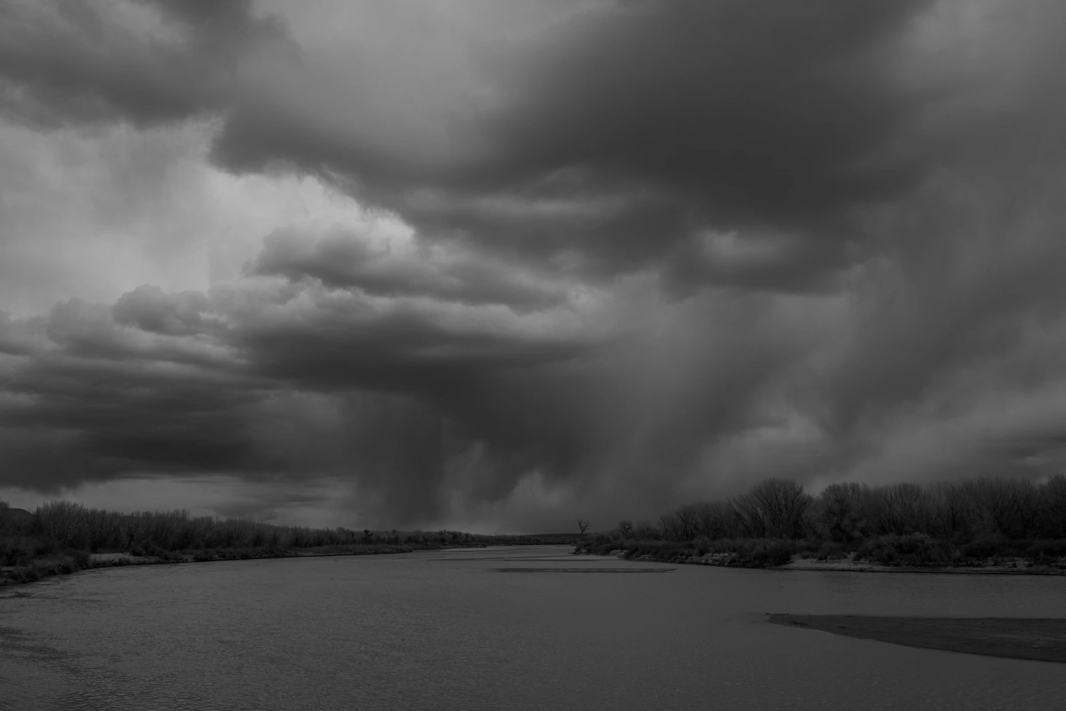
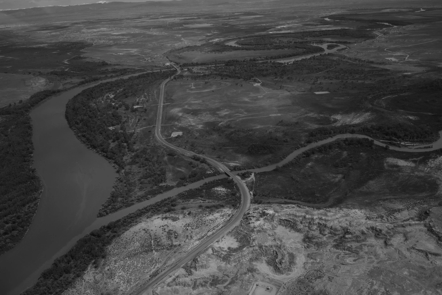
The confluence now is a very different place, its richness long diminished. A massive mountain of orange- and dun-colored smelter tailings, left from the days of copper and lead processing and riddled with arsenic, towers where the two rivers meet. Water rarely flows there, with an occasional summer downpour delivering an ephemeral trickle.
On a recent visit, only a few brown, stagnant pools remained. In one, hundreds of small fish gasped for oxygen. An egret that had been feeding on the fish flew off. The plop of a bull frog, an invasive species, echoed in the hot, still air.

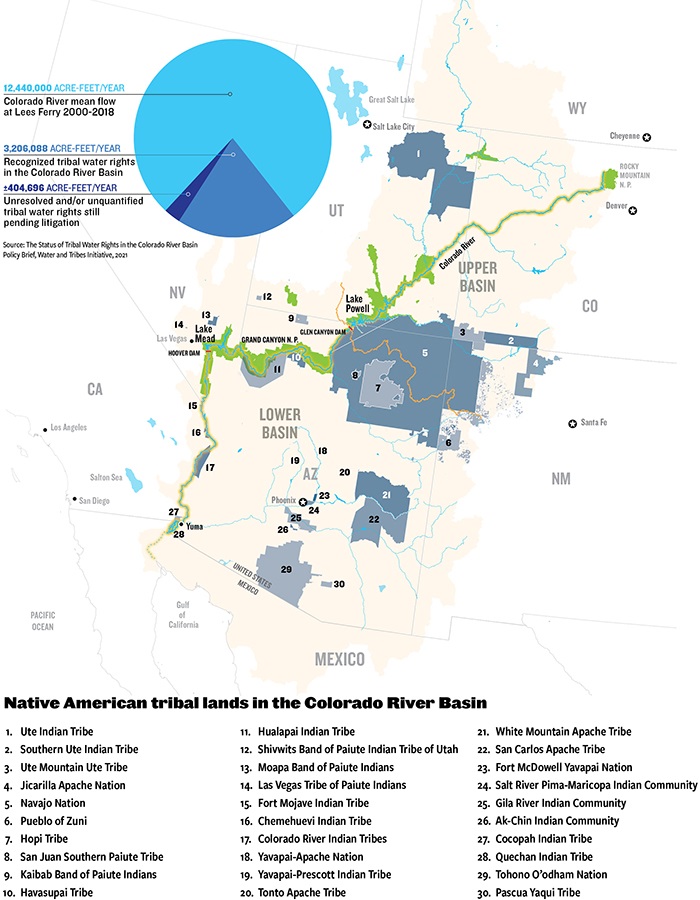
The Gila River, which was listed by the advocacy group American Rivers in 2019 as the nation’s most endangered river, drains an enormous watershed of 60,000 square miles. Stretches have long been depleted, largely because of crop irrigation and the water demands of large cities. Now, a warmer and drier climate is bearing down on ecosystems that have been deprived of water, fragmented, and otherwise altered, their natural resilience undone by human activities.
Other desert rivers around the globe — from the Nile to the Tigris and Euphrates to the Amu Darya in Central Asia — face similar threats. Efforts are underway to restore some integrity to these natural systems, but it is an uphill battle, in part because desert rivers are more fragile than rivers in cooler, wetter places.
Last year was the second-hottest and second-driest on record in Arizona, where heat records are frequently broken. The last two years have seen fewer desert downpours, known locally as monsoons, an important source of summer river flow.
“We’re dealing with a rapidly changing climate that is becoming, overall, more dry and varied and warmer,” said Scott Wilbor, an ecologist in Tucson who studies desert river ecosystems, including the San Pedro. “We are in uncharted territory.”
Born of snowmelt and springs in the mountains of southern New Mexico, the Gila is the southernmost snow-fed river in the United States. It was once perennial, running 649 miles until it emptied into the Colorado River. As the climate warms, scientists predict that by 2050 snow will no longer fall in the Black and Mogollon ranges that form the Gila’s headwaters, depriving the river of its major source of water.
“We’re seeing a combination of long-term climate change and really bad drought,” said David Gutzler, a professor emeritus of climatology at the University of New Mexico. If the drought is prolonged, he said, “that’s when we’ll see the river dry up.”

The same scenario is playing out on the once-mighty Colorado, the Rio Grande, and many smaller Southwest rivers, all facing what is often called a megadrought. Some research indicates that a southwestern U.S. megadrought may last decades, while other scientists fear the region is threatened by a permanent aridification because of rising temperatures.
Worldwide, said Ian Harrison, a freshwater expert with Conservation International, “pretty much where there are rivers in arid areas, they are suffering through a combination of climate change and development.”
Like the Gila, many of these rivers have high degrees of endemism. “Life is often highly specialized to those particular conditions and only lives on that one river, so the impacts of loss are catastrophic,” he said.
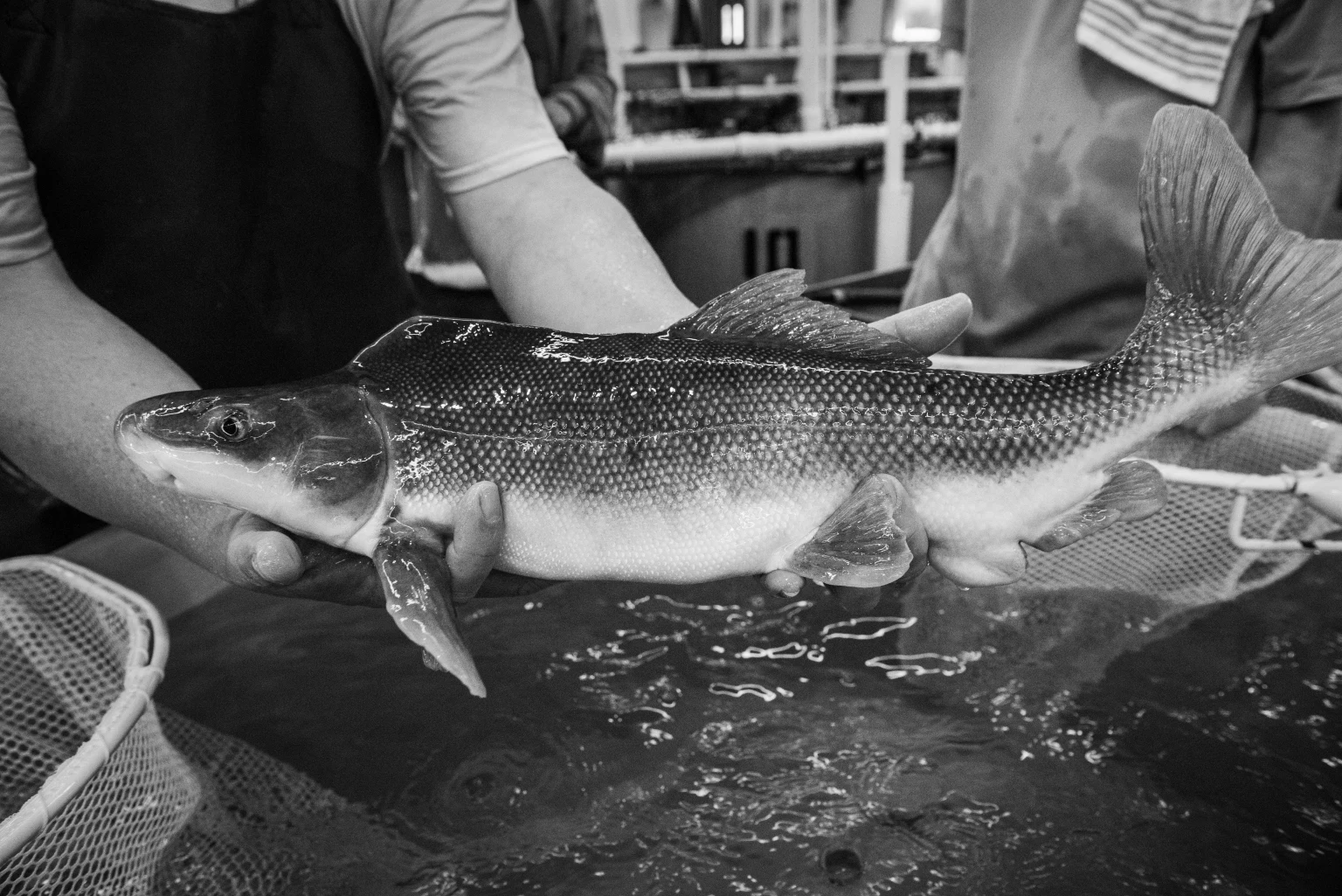
Rivers everywhere are important for biodiversity, but especially so in the desert, where 90 percent of life is found within a mile of the river. Nearly half of North America’s 900 or so bird species use the Gila and its tributaries, including some that live nowhere else in the U.S., such as the common blackhawk and northern beardless tyrannulet. Two endangered birds, the southwestern willow flycatcher and yellow-billed cuckoo, live along the Gila and its tributaries, including the San Pedro and the Salt.
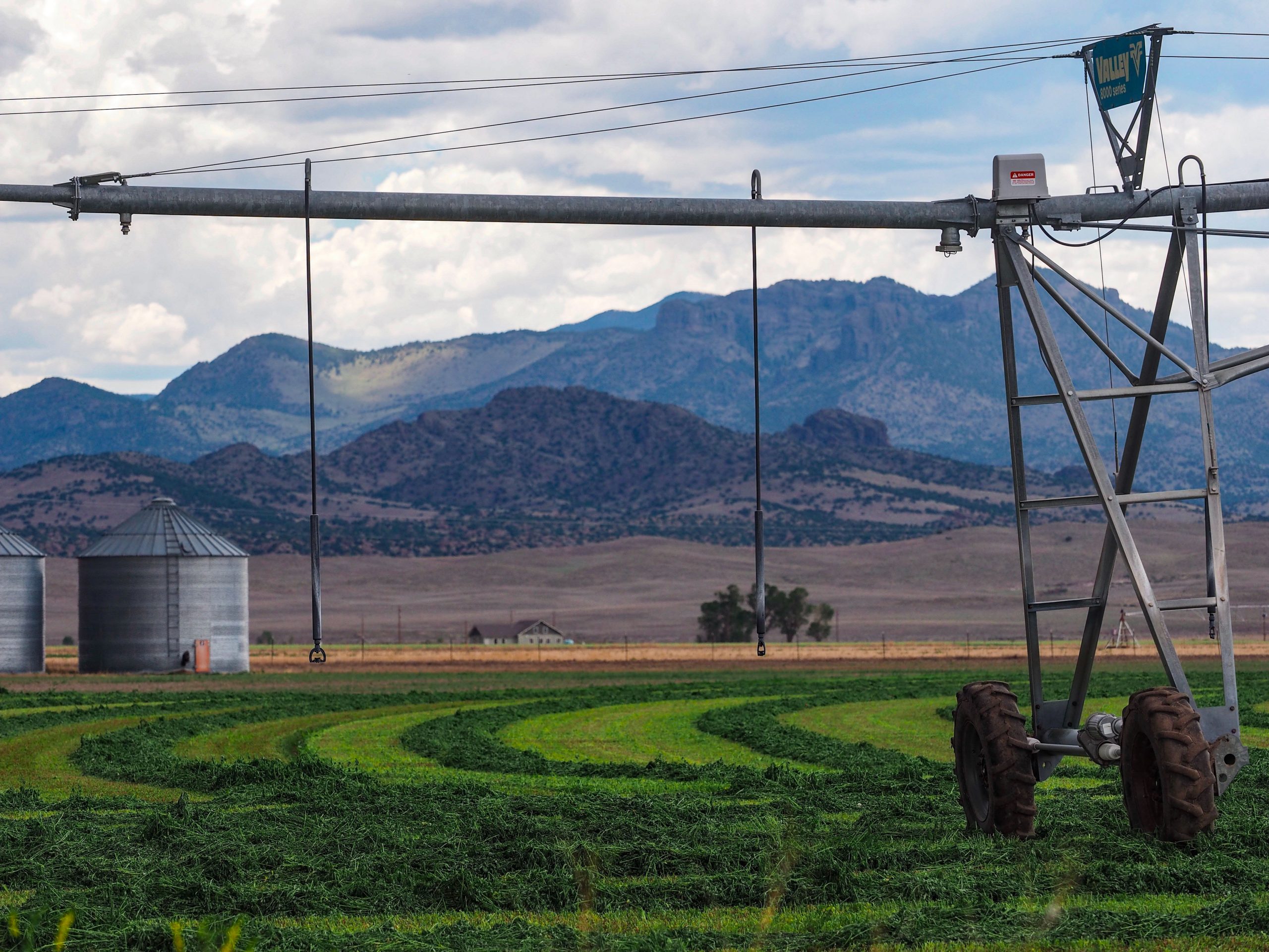
Desert rivers, of course, make life in the desert possible for people, too. Growing crops in the perpetual heat of the desert can be highly lucrative, especially if the water is free or nearly so thanks to subsidies from the federal government. Agriculture is where most of the water in the Gila goes.

This spring, photographer Ted Wood and I made a journey along the length of the Gila, from the headwaters in New Mexico to west of Phoenix. In most of Arizona, the Gila is dry. Where it still flows, I was impressed by how such a relatively small river, under the right conditions, can be so life-giving. The trip brought home what desert rivers are up against as the climate changes, and also how much restoration, and what types, can be expected to protect the biodiversity that remains.
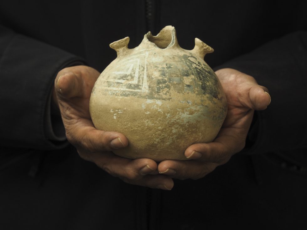
Our journey began at the river’s source, where Cliff Dweller Creek spills out of a shady canyon lined with Gambel oak in Gila Cliff Dwellings National Monument. The creek is barely a trickle here. Above the creek, ancestral Puebloans, known as Mogollon, once lived in dwellings wedged into caves, making pottery and tending vegetable gardens. The Mogollon abandoned these canyons in the 15th century, perhaps done in by an extended drought.
From inside a Mogollon cave, I looked out at rolling hills, covered with ponderosa pine, pinyon and juniper trees. The green-hued water gains volume where three forks come together near here. Historically, the mountain snow melts slowly each spring, providing high steady flows through April and May. Flows slow to a trickle in June. In July and August, monsoons pass through and, along with frontal systems, cause flash flooding and a rise in water levels.
Flooding is a “disturbance regime,” not unlike a forest fire, that rejuvenates aging, static ecosystems. A healthy river in the mountains of the West is one that behaves like a fire hose, whipping back and forth in a broad channel over time, flash flooding and then receding, moving gravel, rocks, logs and other debris throughout the system. A flooding river constantly demolishes some sections of a river and builds others, creating new habitat — cleaning silt from gravel so fish can spawn, for instance, or flushing sediment from wetlands. A river that flows over its banks, recharges aquifers and moistens the soil so that the seedlings of cottonwoods, mesquite trees and other vegetation can reproduce. Along healthy stretches of the Gila, birds are everywhere; I spotted numerous bluebirds in the branches of emerald green cottonwoods.

The riparian ecosystem that lines the 80 or so miles of the New Mexico portion is largely intact because of the protections afforded by federal wilderness areas, the lack of a dam, and the river’s flow not being completely siphoned off for farming. This is an anomaly in a state that has lost many of its riparian ecosystems. “This is the last free-flowing river in New Mexico,” said Allyson Siwik, executive director of the Gila Conservation Coalition.
The future of the New Mexico stretch of the river is uncertain because of the possibility of more water withdrawals and the loss of snowpack. “We’ve seen flows in the last 10 years lower than we’ve ever seen,” Siwik said. This year, she said, set an all-time low on the river, with flow less than 20 percent of normal.
Undammed, the Gila River through New Mexico still floods, refreshing the Cliff-Gila valley, which contains the largest intact bosque habitat in the Lower Colorado River Basin. The valley is home to the largest concentration of non-colonial breeding birds in North America. The river is also a stronghold for threatened and endangered species, such as nesting yellow-billed cuckoos, the Gila chub, Chiricahua leopard frogs and Mexican garter snakes all live there.
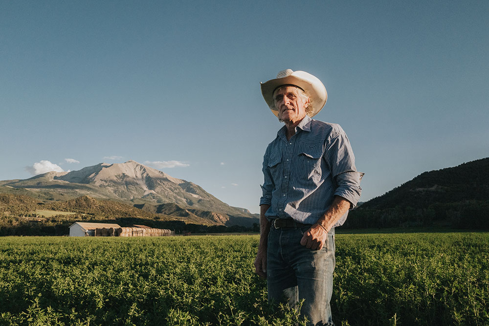
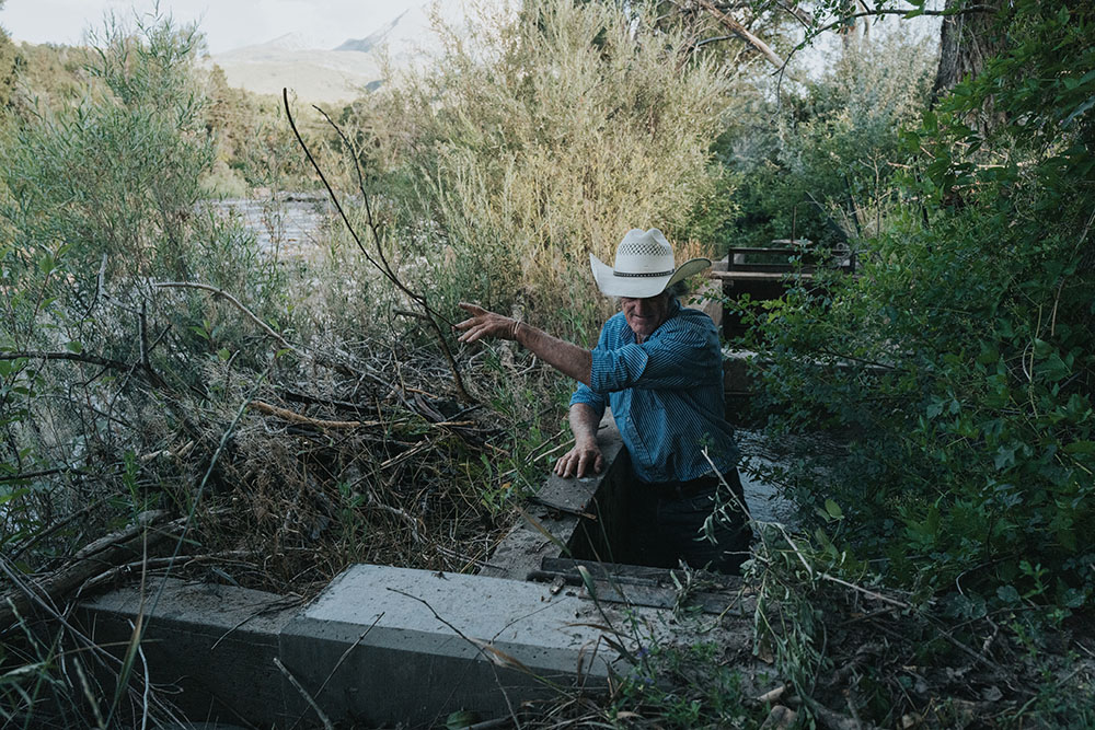
At odds with efforts to keep the Gila wild are plans by a group of roughly 200 long-time irrigators in southwestern New Mexico. Each summer they divert water from the Gila to flood-irrigate pastures, which de-waters stretches of the river. The irrigators have been trying to raise money to build impoundments to take even more of their share of water, but so far have been unsuccessful, in part because of opposition from conservation groups.

Cattle are another threat to the river’s biological integrity here — both unfenced domestic cattle and feral cows. Cattle break down riverbanks, widen the stream and raise water temperatures. They eat and trample riparian vegetation, causing mud and silt to choke the flow, and destroy habitat for endangered species. The Center for Biological Diversity recently sued the U.S. Forest Service to force the agency to take action.
“We’re in a cow apocalypse,” said Todd Schulke, a founder of the Center for Biological Diversity. “They are even in the recovered Gila River habitat. It’s just heartbreaking.”
As the river enters Arizona, the riparian ecology remains largely intact, especially in the 23 miles of the Gila Box National Riparian Area. Here, 23,000 acres of bosque habitat is in full expression, with thick stands of cottonwoods, velvet mesquite trees and sandy beaches. It is one of only two national riparian areas in the country set aside for its outstanding biodiversity; the other is on the San Pedro River.
As the river leaves the riparian area, it undergoes a striking change: massive cotton farms near the towns of Safford, Pima, and Thatcher, first planted in the 1930s, cover the landscape. The dried, brown stalks of harvested cotton plants stand in a field, bits of fluff on top. Growing cotton in the desert — which uses six times as much water as lettuce — has long been seen as folly by critics, made possible only by hefty federal subsidies.

Much of the flood pulse ecology is lost here, as the river is diverted or subject to groundwater pumping. Instead of flooding, the river cuts deeper into its channel, lowering the water table, which many plants can no longer reach. The cottonwood stands and other riparian habitats have disappeared. “You want the groundwater within five feet of the ground, but it’s mostly 8 to 12 feet,” said Melanie Tluczek, executive director of the Gila Watershed Partnership, which has been doing restoration here since 2014.
It is a harsh place for new planting. The river is dry in long stretches. Tamarisk, a pernicious invasive tree also known as salt cedar, needs to be cut down and its stumps poisoned to prevent regrowth. Small willows and Fremont cottonwoods have been planted on barren desert ground. Wire cages over infant trees keep elk, beaver and rabbits from gobbling them up.
Meanwhile, tamarisk grows prolifically, slurping up water, changing soil chemistry and the nature of flooding, robustly outcompeting natives, and increasing the risk of wildfire.
“If you can do restoration here, you can do it anywhere,” Tluczek said. She said the Gila Watershed Partnership has removed 216 acres of tamarisk along the river and planted 90 acres with new native trees. But the Gila here will never look like it did. “We can’t restore the past,” Tluczek said. “We’re going to see a floodplain that has more dryland species and fewer floodplain species.”

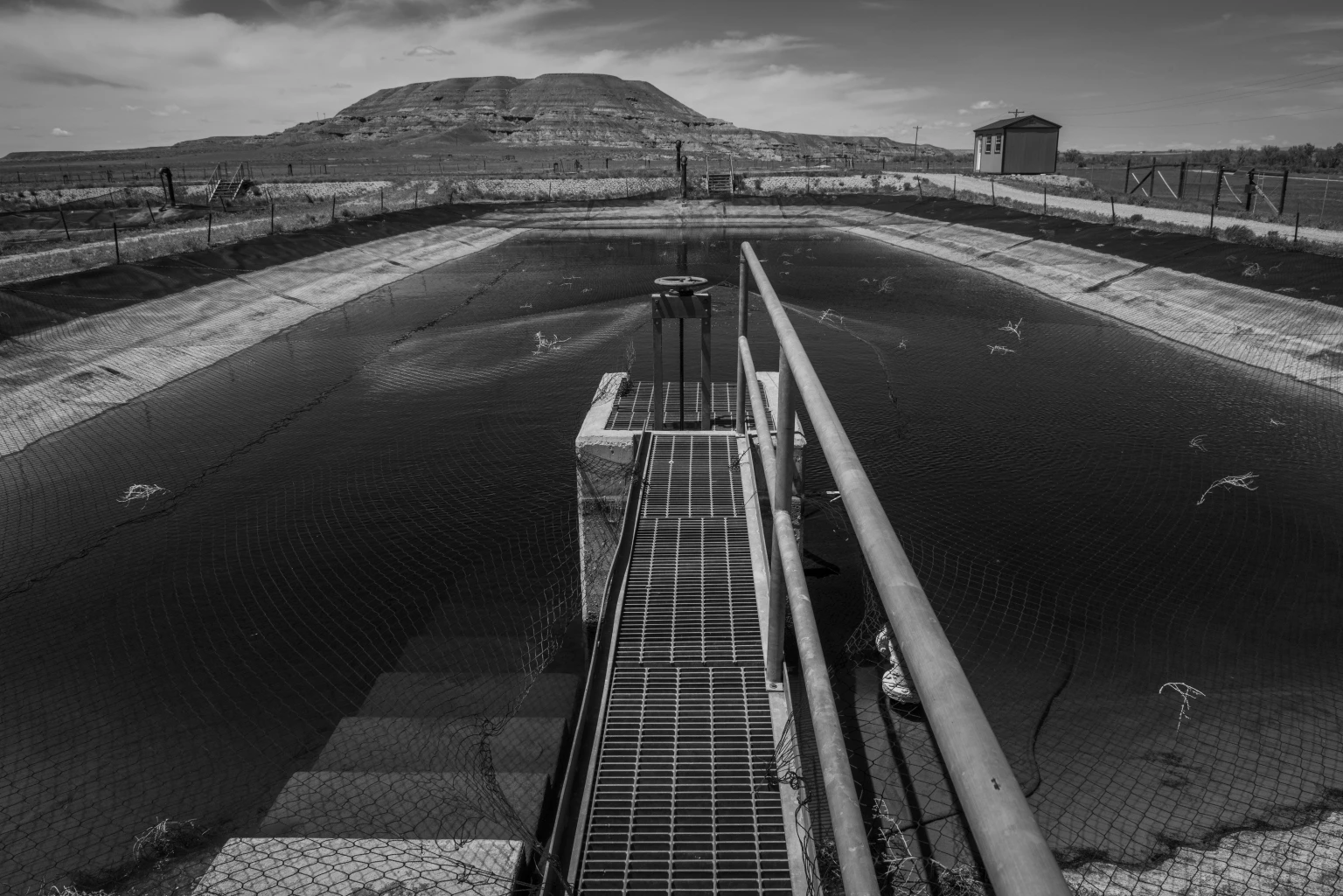
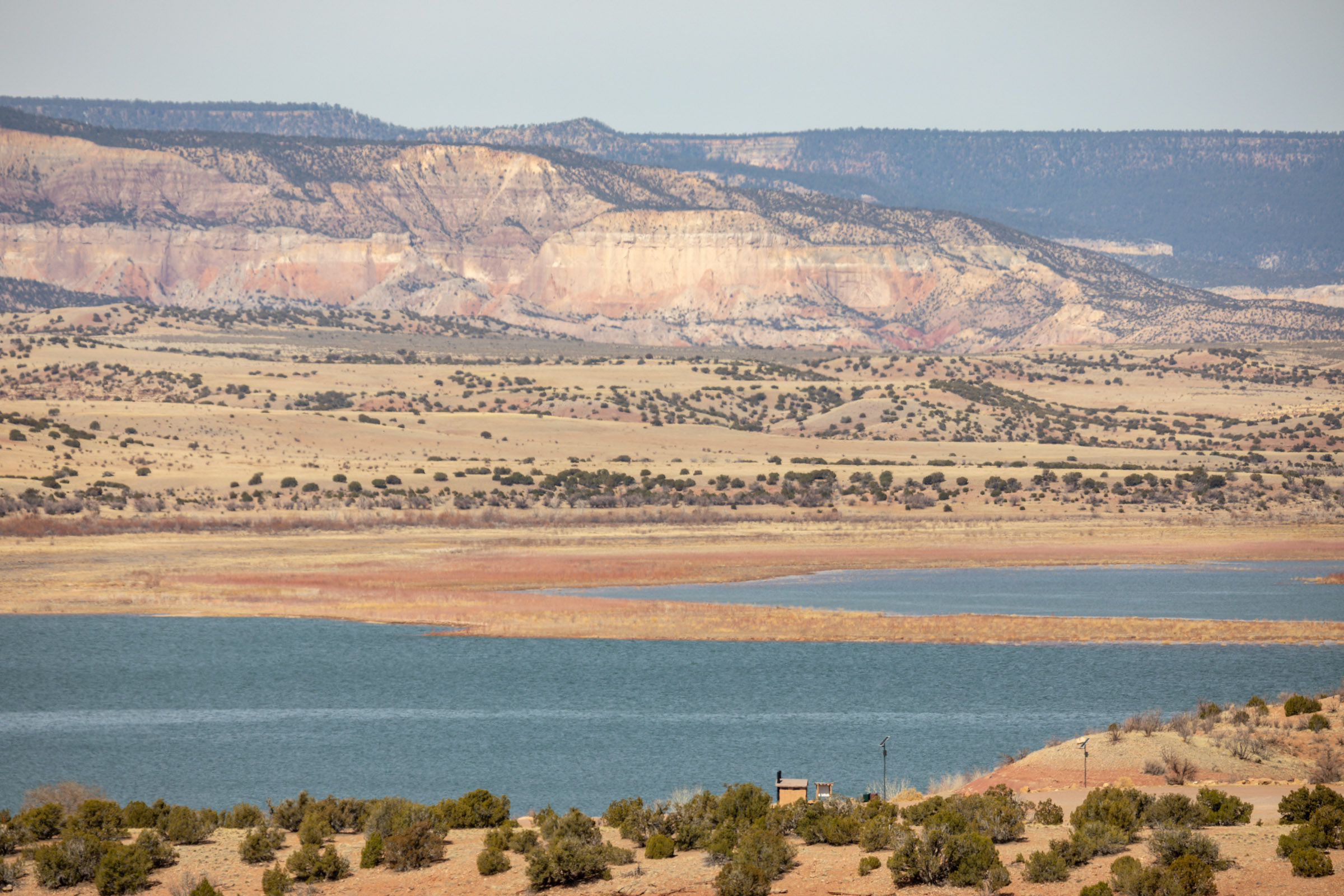
Downstream, the Coolidge Dam forms a giant concrete plug on the Gila. Built in the 1920s by the federal government, it was the result of irrational exuberance about the amount of water on the Gila and meant to supply farmers with water. Today, however, the reservoir is usually dry. Built to hold 19,500 acres of water, this year the water in the lake covered just 50 acres.
From here to Phoenix and on to the Colorado, water only occasionally flows in the Gila. Yet even the small amount of water that remains is vital to wildlife. “Where there has been water near the surface, animals smell it and will dig down in the sand in the riverbed to free it up,” Wilbor said. “You set up a camera and it’s like an African watering hole, with species after species taking turns to come use the water.”
Will the Gila River through most of Arizona to the Colorado ever be restored to a semblance of the biological jewel it once was? The chances are slim. But two pioneering efforts have brought back elements of the desiccated river.
In 2010, Phoenix completed a $100 million, eight-mile restoration of the long-dewatered Salt River where it joins the Gila and Agua Fria rivers at Tres Rios. Fed by water from the city’s sewage treatment plant across the road, this constructed complex includes 128 acres of wetlands, 38 acres of riparian corridor, and 134 acres of open water. It is thick with cattails and other vegetation, an island of green around a lake amid the sere surrounding desert.

On the nearby Gila River Indian Community, meanwhile, home to the Pima — or the name they prefer, Akimel O’othham, the river people — is something called a managed area recharge. The Akimel O’othham, who share their community with the Maricopa, are believed to be the descendants of the Hohokam, an ancient agricultural civilization with a vast network of irrigation canals that was largely abandoned centuries ago. The Akimel O’othham continued to farm along the Gila in historic times until their water was stolen from them in the late 19th century by settlers who dug a canal in front of the reservation and drained it away.
After a century of the Akimel O’othham fighting for their water rights, in 2004 the Arizona Water Settlement Act provided the tribe with the largest share of Colorado River water from the Central Arizona Project, a share larger than the city of Phoenix’s allotment. The tribe is now water-rich, using much of that water to restore its tribal agricultural past, though with modern crops and methods.
Last year, some of the Colorado River water was released into the Gila to be stored in an underground aquifer and used to create a wetland.
Both of these projects, at Tres Rios and at the reservation, have created oases in a harsh desert landscape, bringing back an array of birds and wildlife, and — in the case of the Akimel O’othham — helping revitalize the cultural traditions of these river people.
“We’re not going to have rivers with native species in the Southwest unless we can protect and restore these systems,” especially with a changing climate, Siwik said. “Protecting the best, restoring the rest — or else we lose these systems that we need for our survival.”
Reporting for this article was supported by a grant from The Water Desk, an initiative based at the University of Colorado Boulder’s Center for Environmental Journalism.
The Water Desk’s mission is to increase the volume, depth and power of journalism connected to Western water issues. We’re an initiative of the Center for Environmental Journalism at the University of Colorado Boulder. The Water Desk launched in April 2019 with support from the Walton Family Foundation. We maintain a strict editorial firewall between our funders and our journalism.
Longform Story CSS Block