Colorado River drought study advances as participants call for fairness between cities, ranches
Can Colorado find a fair way to set aside as much as 500,000 acre-feet of water in Lake Powell to protect the state from future drought?
Video story: The value of water (full length)
With population growth around Denver prompting fierce competition for water, investors want to import a new supply from the San Luis Valley, but many farmers and ranchers who depend on that water are opposed to the plan.
California’s dream has turned into water nightmares
A new book looks at the Golden State’s history to understand its current water crisis.
Degrees of warming: Rising temperatures, shorter winters and a declining snowpack are impacting Aspen’s...
Pitkin County is warming, the number of frost-free days is increasing and snowpack is declining—all of which have myriad impacts on life in the Aspen area.
As 2020 kicks in, historic Colorado River Drought Plan will get its first test
This year, the first-ever Colorado River Drought Contingency Plan is set to launch, and water officials expect 2020 to bring unprecedented changes to the way the river is run, including cutbacks in water use by some states.
Video story: When in drought, call the beavers
Beaver reintroduction and restoration can help with some of the West's most profound water problems, both in terms of quantity and quality. A trial program is underway at Caribou Ranch in Boulder County.
Crisis on the Colorado Part V: Bringing New Life to a Stressed River
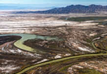
The Colorado River has been dammed, diverted, and slowed by reservoirs, strangling the life out of a once-thriving ecosystem. But in the U.S. and Mexico, efforts are underway to revive sections of the river and restore vital riparian habitat for native plants, fish, and wildlife.
Crisis on the Colorado Part IV: In Era of Drought, Phoenix Prepares for a...
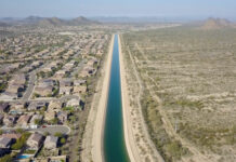
Once criticized for being a profligate user of water, fast-growing Phoenix has taken some major steps — including banking water in underground reservoirs, slashing per-capita use, and recycling wastewater — in anticipation of the day when the flow from the Colorado River ends.
Crisis on the Colorado Part III: Running Dry– New Strategies for Conserving Water
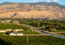
Communities along the Colorado River are facing a new era of drought and water shortages that is threatening their future. With an official water emergency declaration now possible, farmers, ranchers, and towns are searching for ways to use less water and survive.
Crisis on the Colorado Part II: On a Water-Starved River, Drought Is the New...
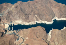
With the Southwest locked in a 19-year drought and climate change making the region increasingly drier, water managers and users along the Colorado River are facing a troubling question: Are we in a new, more arid era when there will never be enough water?


