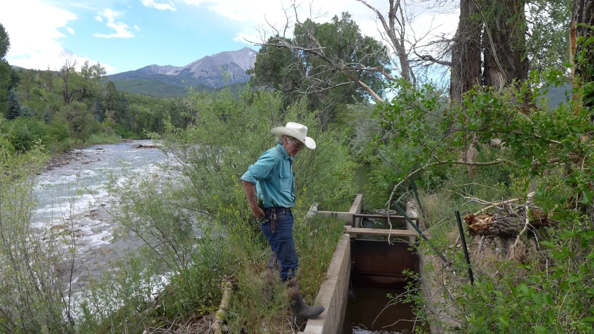
A Crystal River Valley rancher and a nonprofit organization are teaming up for the second time to try to leave more water in a parched stream.
Cold Mountain Ranch owners Bill Fales and Marj Perry have inked a six-year deal with the Colorado Water Trust to voluntarily retime their irrigation practices to leave water in the Crystal River during the late summer and early fall, when the river often needs it the most. In addition to a $5,000 signing bonus, the ranchers will be paid $250 a day up to 20 days, for each cubic foot per second they don’t divert, for a maximum payment of $30,000.
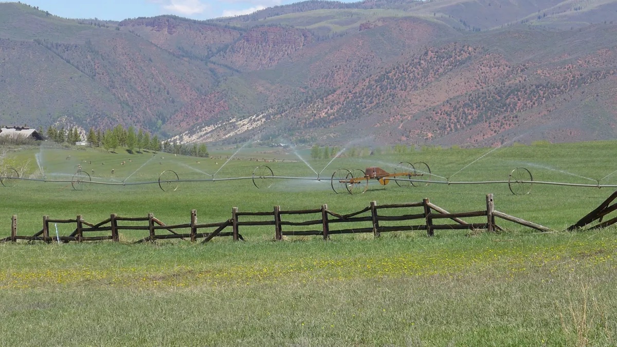
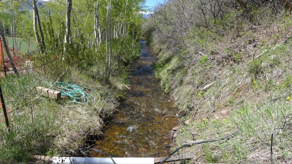
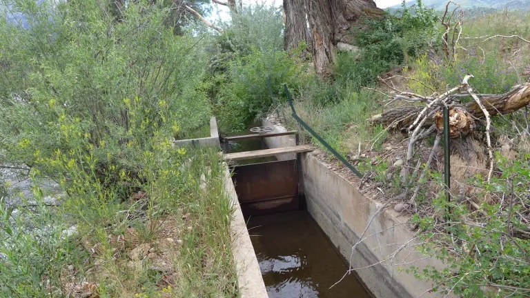
The water would come from reducing diversions from the Helms Ditch and could result in up to an additional 6 cfs in the river. The agreement would become active in the months of August and September any time streamflows dip below 40 cfs and once becoming active, will extend through October. The agreement will lift if streamflows rise above 55 cfs.
The goal of the program is to use voluntary, market-based approaches to encourage agricultural water users — who often own the biggest and most senior water rights — to put water back into Colorado’s rivers during critical times.
The program has the hallmarks of demand management, a much-discussed concept over the past few years at the state level: it’s temporary, voluntary and compensated. Other pilot programs that focus on agricultural water conservation usually involve full or split-season fallowing of fields, but with this agreement Fales still intends to get his usual two cuttings of hay.
“The idea is to find something that is a flexible way for water rights owners to use their water in years where it makes sense for something different than strictly agricultural practices,” said Alyson Meyer-Gould, director of policy with the Colorado Water Trust. “It’s another way to use their water portfolio.”
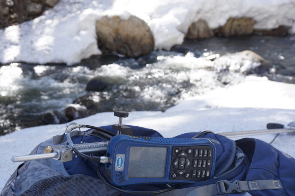
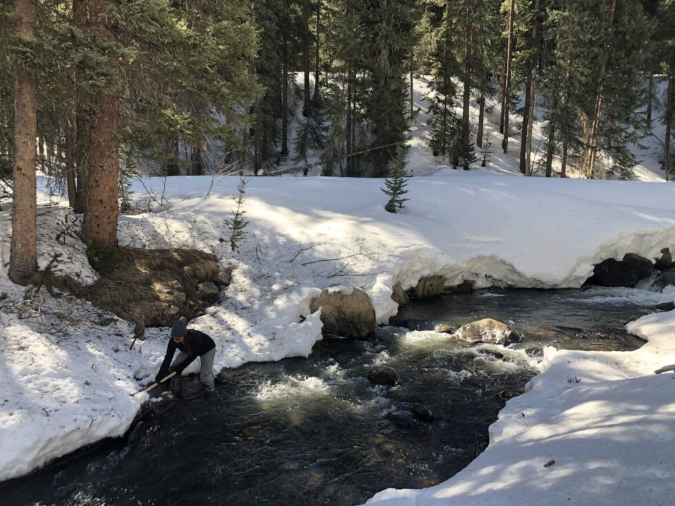
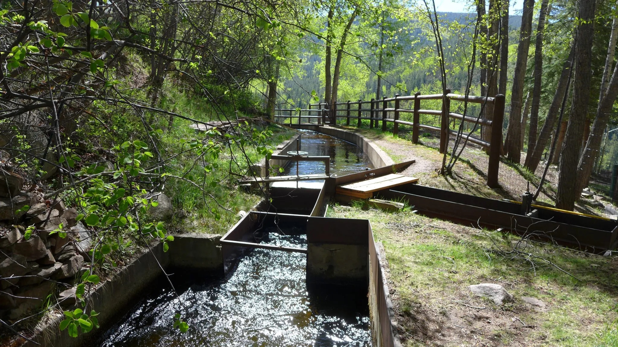
Streamflows will be measured by a gauge at the Thomas Road Bridge, which is operated by the Roaring Fork Conservancy. The Helms Ditch is located just upstream of the bridge.
According to the Conservancy’s 2016 Crystal River Management Plan, the river below the Thomas Road Bridge often suffers from low flows and high temperatures, especially in drought years, due to the many agricultural diversions. The Crystal River also has a 1975 state instream flow right of 100 cfs on this stretch, intended to preserve the environment to a reasonable degree, but it is often not met during the late irrigation season.
Fales has often been a prominent spokesman for causes that combine agricultural and environmental interests, like preventing oil and gas development in the Thompson Divide area near Carbondale where he grazes cattle.
“Obviously we are like everybody else — we hate to see the river dry,” Fales said. “Also Marj and I are fairly convinced that if there’s going to be problems and controversies over water, we’d rather be trying to find solutions ourselves than have one imposed on us by somebody else.”
Second agreement
This is the second attempt at the voluntary non-diversion agreement. The timing and conditions during the original three-year agreement, signed in 2018, never worked out. 2018 saw flows that were so low that turning off the Helms Ditch would not have made a difference; 2019’s big snowpack meant flows never dipped low enough to trigger the agreement until October, which was not a month included in the original deal; and in the drought year of 2020 Cold Mountain Ranch could not spare any water.
“Three years is not exactly a huge data sample, so we are still optimistic we can get the project to work,” Meyer Gould said.
This time around, the Water Trust is offering Fales and Perry more money to encourage them to retime the irrigation: $250 for each cfs, compared to $175 last time, plus the $5,000 signing bonus, when there was no such incentive attached to the 2018 agreement.
“It’s considerable time and effort on their part,” Meyer Gould said. “We wanted to show appreciation for the thought and effort that has gone into it on the part of Cold Mountain Ranch.”
Pitkin County also had to approve the agreement because it is the co-owner of a conservation easement on the property, which limits development, preserves open space and keeps the water rights tied to the land.
During negotiations for the original agreement, Pitkin County Attorney John Ely voiced concerns about abandonment: If Fales produced the same amount of hay using less water than he historically had, could the unused portion of his water right be subject to Colorado’s “use-it-or-lose-it” principle?
But Cold Mountain Ranch’s water rights are protected. Senate Bill 19, signed in 2013, provides abandonment protection if the water rights are enrolled in an approved conservation program, such as the agreement with the Water Trust.
Also, instead of reducing his total annual water use like with most agriculture conservation programs, Fales will simply shift the timing of his diversions to align with the Crystal’s needs. Ely said his concerns have been worked out.
“It’s not a classic situation where you have a dry-up of an ag property,” Ely said. “It really does protect his operations.”
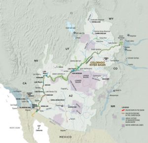
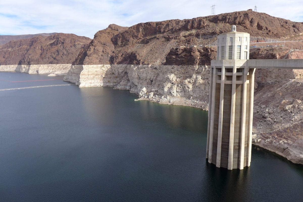
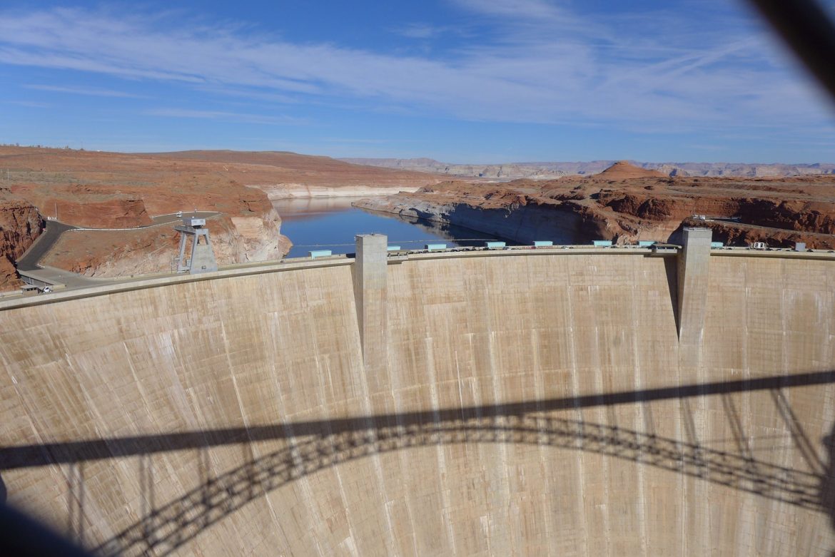
As demands for water increase across the Colorado River basin and climate change shrinks the amount available, Fales recognizes something’s got to give. And with agricultural users at the center of water issues, they should participate in finding creative solutions.
“It’s not going to be simple,” Fales said. “But we would rather be at the table than on the plate.”
This story ran in The Aspen Times and the Glenwood Springs Post-Independent.
The Water Desk’s mission is to increase the volume, depth and power of journalism connected to Western water issues. We’re an initiative of the Center for Environmental Journalism at the University of Colorado Boulder. The Water Desk launched in April 2019 with support from the Walton Family Foundation. We maintain a strict editorial firewall between our funders and our journalism.