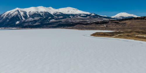
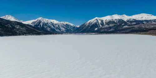
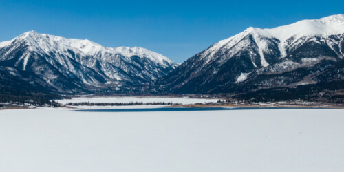
This page features drone-captured photos and videos of Twin Lakes in central Colorado.
The Twin Lakes are alpine lakes near the headwaters of the Arkansas River that were carved by glaciers during the Ice Age. Since then, the lakes have been dredged and now cover 2,700 acres. The lakes, popular among boaters and anglers, also store water for Colorado’s fast-growing Front Range.
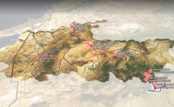
Some of the water in the lakes comes from the other side of the Continental Divide thanks to the Fryingpan-Arkansas Project. This transbasin diversion takes water from the Fryingpan River’s watershed, part of the Colorado River Basin, and transports it to the Arkansas River, which eventually empties into the Mississippi River and Gulf of Mexico.
| Date | March 31, 2021 |
| Location | Twin Lakes, Colorado (map) |
| Credit | Mitch Tobin/The Water Desk |
| Rights | Free to reuse under Creative Commons license. |
Selected images from the gallery
Click to enlarge
To use these images
Please read and consent to the terms and license below for access to the download page.
To help us continue to offer this free material, we ask that you please:
- Credit the original photographer and the Water Desk as the source
- Email us a link to the published story at waterdesk@colorado.edu
- Consider sending The Water Desk your ideas for future content that we could add to the library
- Keep supporting professional photojournalists by hiring them for assignments


