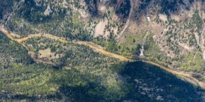
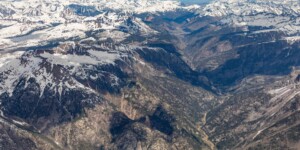
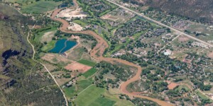
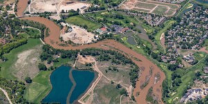
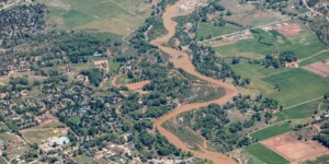
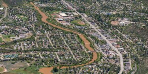
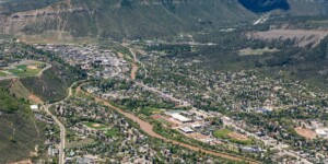
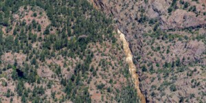
This page in our free multimedia library features aerial photos of the Animas River in southwest Colorado.
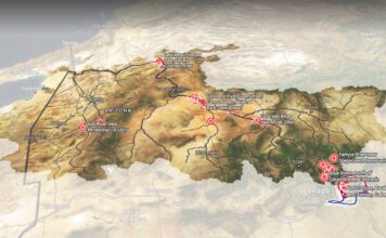
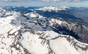
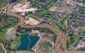
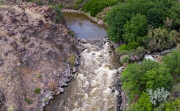
The Animas River begins high in the San Juan Mountains of southwest Colorado, flowing through Silverton and Durango before meeting the San Juan River in Farmington, New Mexico. These images were captured on May 26, 2023, the day when the river’s spring runoff peaked in Durango after a winter with a very deep snowpack in the watershed.
In 2015, a crew working at the Gold King Mine near Silverton accidentally released millions of gallons of toxic water into Cement Creek, a tributary of the Animas. The spill temporarily turned the river bright orange and led to emergency and disaster declarations as the contaminated water moved downstream.
See this video from our grantee New Mexico PBS for more on the spill’s effects and aftermath.
To learn more about the Animas River, see journalist Jonathan Thompson’s River of Lost Souls.
| Date | May 26, 2023 |
| Location | Animas River, Colorado (map) |
| Credit | Mitch Tobin/The Water Desk with aerial support by LightHawk |
| Rights | Free to reuse under Creative Commons license. |
Selected images from the gallery
Click to enlarge
To use these images
Please read and consent to the terms and license below for access to the download page.
To help us continue to offer this free material, we ask that you please:
- Credit the original photographer and the Water Desk as the source
- Email us a link to the published story at waterdesk@colorado.edu
- Consider sending The Water Desk your ideas for future content that we could add to the library
- Keep supporting professional photojournalists by hiring them for assignments


