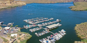
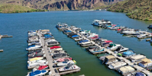
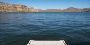
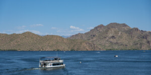
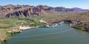
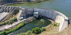
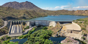
This page features aerial photos of Arizona’s Stewart Mountain Dam and Saguaro Lake along the Salt River northeast of Phoenix.
Stewart Mountain Dam was built from 1928 to 1930 by the Salt River Valley Water Users’ Association. The concrete dam is 212 feet high, 583 feet long and includes a 13,000-kilowatt hydroelectric generating unit. The dam impounds the Salt River to create Saguaro Lake, a 1,200-acre reservoir that is a popular recreation area.
“Stewart Mountain Dam was the last of three dams built between 1923 and 1930,” according to the Salt River Project (SRP), which manages the facility. “SRP used the power revenue generated by the three dams to pay back the federal government for Roosevelt Dam’s construction and for the bonds used to finance the new lower Salt River dams.”
| Date | June 2023 |
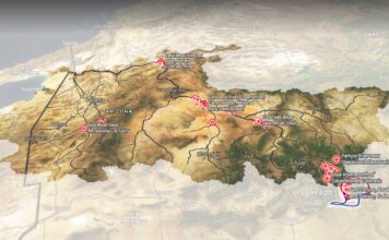
| Location | Stewart Mountain Dam and Saguaro Lake, Arizona (map) |
| Credit | Alexander Heilner/The Water Desk |
| Rights | Free to reuse under Creative Commons license. |
Selected images from the gallery
Click to enlarge
To use these images
Please read and consent to the terms and license below for access to the download page.
To help us continue to offer this free material, we ask that you please:
- Credit the original photographer and the Water Desk as the source
- Email us a link to the published story at waterdesk@colorado.edu
- Consider sending The Water Desk your ideas for future content that we could add to the library
- Keep supporting professional photojournalists by hiring them for assignments


