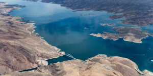
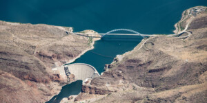
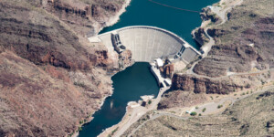
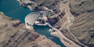
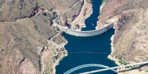
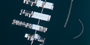
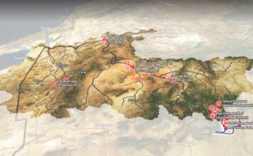
This page features aerial photos of Theodore Roosevelt Lake and Theodore Roosevelt Dam, along the Salt River east of Phoenix.
Roosevelt Dam, which rises 357 feet, was the first structure completed as a part of the Salt River Project (SRP). The dam, which was finished in 1911 and then expanded from 1989 to 1996, creates the largest storage reservoir in the SRP with a total capacity of 1.6 million acre-feet.
Roughly 200 miles long, the Salt River is the largest tributary of the Gila River, which in turn feeds into the Colorado River. The Salt River used to be perennial, flowing all the way to its terminus at the Gila River. However, the construction of several dams, including Roosevelt Dam, and human water uses have turned the river intermittent over stretches.
The SRP is a utility cooperative that acts as central Arizona’s main water provider. The cooperative owns and operates four major reservoirs along the Salt River that were created to store water for the Phoenix metropolitan area. These four reservoirs—Roosevelt Lake, Apache Lake, Canyon Lake, and Saguaro Lake—have a combined storage capacity of around 3.3 million acre-feet.
| Date | May 26, 2021 |
| Location | Theodore Roosevelt Lake, Arizona (map) |
| Credit | Alexander Heilner/The Water Desk with aerial support by LightHawk |
| Rights | Free to reuse under Creative Commons license. |
Selected images from the gallery
Click to enlarge
To use these images
Please read and consent to the terms and license below for access to the download page.
To help us continue to offer this free material, we ask that you please:
- Credit the original photographer and the Water Desk as the source
- Email us a link to the published story at waterdesk@colorado.edu
- Consider sending The Water Desk your ideas for future content that we could add to the library
- Keep supporting professional photojournalists by hiring them for assignments


