Apache water
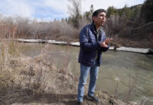
As the Colorado River is impacted by climate change and drought, Native American tribes are helping to find solutions. For The Water Desk, Gary Strieker reports on the Jicarilla...
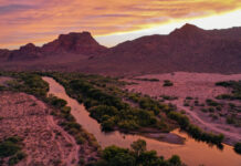
Photos: Salt River, Arizona, 2021 and 2023
This page features aerial photos of Arizona's Salt River, including its confluence with the Verde River.
Both the Salt and Verde are tributaries of the Gila River and part of the Colorado...
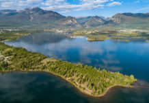
Photos: Dillon Reservoir aerials, July 2021
This page features drone-captured imagery of Dillon Reservoir in Summit County, Colorado.
Created by a 231-foot-tall earth-fill dam, Dillon Reservoir contains over 250,000 acre-feet of water when at full capacity....
Drone videos and photos: Salt River near Theodore Roosevelt Lake, Arizona
This page features drone footage and still imagery of the Salt River, near Theodore Roosevelt Lake in Arizona.
The Salt River, which runs for about 200 miles, is a...
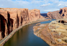
Drone videos and photos: uranium tailings and Colorado River near Moab, Utah, December 2019
This page features drone footage and still imagery of the Colorado River around Moab, Utah. Near downtown Moab, a large uranium mill tailings pile is located close to the...
Photos and videos: San Juan River, Utah, September 2023
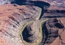
This page in our free multimedia library features photos and videos of the San Juan River, near Mexican Hat, Utah.
The San Juan is an important tributary of the Colorado...
Tour the San Joaquin River
An interactive map visualizes restoration efforts on the San Joaquin River.
The value of water
With population growth around Denver prompting fierce competition for water, investors want to import a new supply from the San Luis Valley, but many farmers and ranchers who depend...
Photos: Xeriscaping in Phoenix
This page features photos of xeriscaping in Phoenix, Arizona.
Xeriscaping is the practice of designing landscapes to reduce or eliminate the need for irrigation. Homeowners can opt for yards filled...
Photos: San Juan River aerials, May 2021
This page features aerial photos of the San Juan River, a key tributary of the Colorado River that drains the Four Corners region and meets Lake Powell in southern...


