
The blizzards of January and February seem like distant dreams to Colorado water managers. What started as a promising year for water supply — with above-average snowpack as of April 1 — ended Sept. 30 with the entire state in some level of drought.
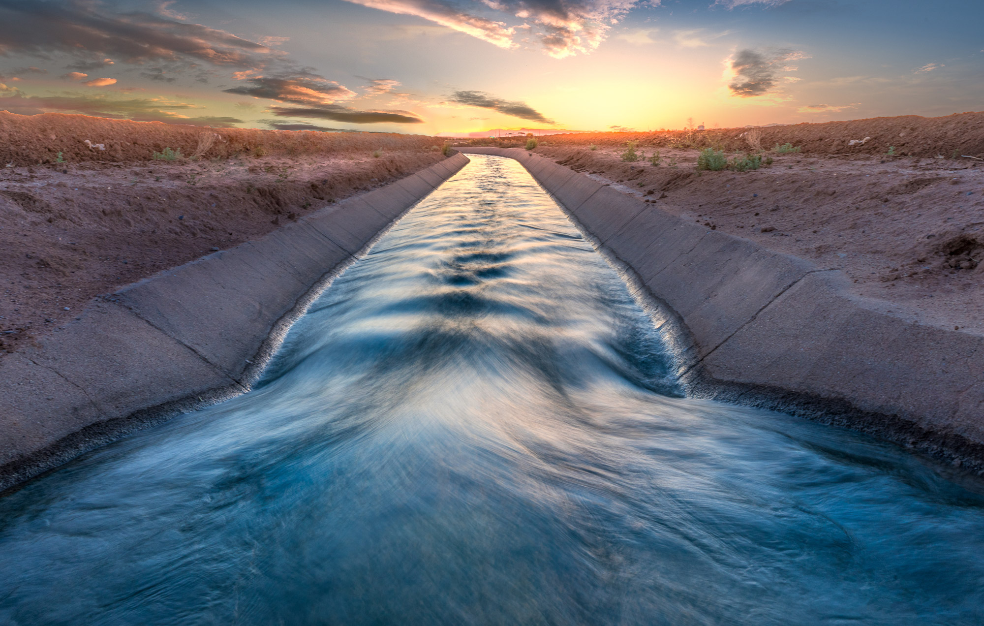
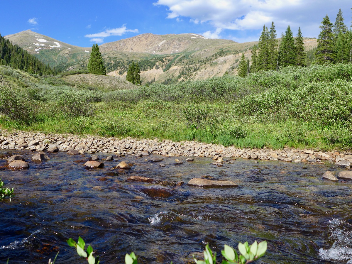
The water-year calendar, which runs from Oct. 1 through Sept. 30, is designed to account for the importance of snowpack in water supplies in the West. Every winter, precipitation builds in the mountains. Come spring, the snowmelt is stored for use throughout the summer.
Although snowpack levels have always been a critical indicator of the year’s water supply, other factors had a bigger role during water year 2020. Colorado had above-average levels of snowpack going into April, but below-average precipitation and high temperatures in spring quickly veered the state in the opposite direction. This year saw one of the driest April-May periods on record in Colorado, below the 10th percentile.
“When you get those hotter temperatures, it means the atmosphere wants to take more moisture out of the ground,” said assistant state climatologist Becky Bolinger. “So the soils are drier and the stream flows got a bit lower. Then the vegetation was also a bit dryer and not able to keep the moisture that it did have.”
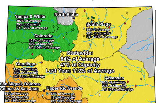
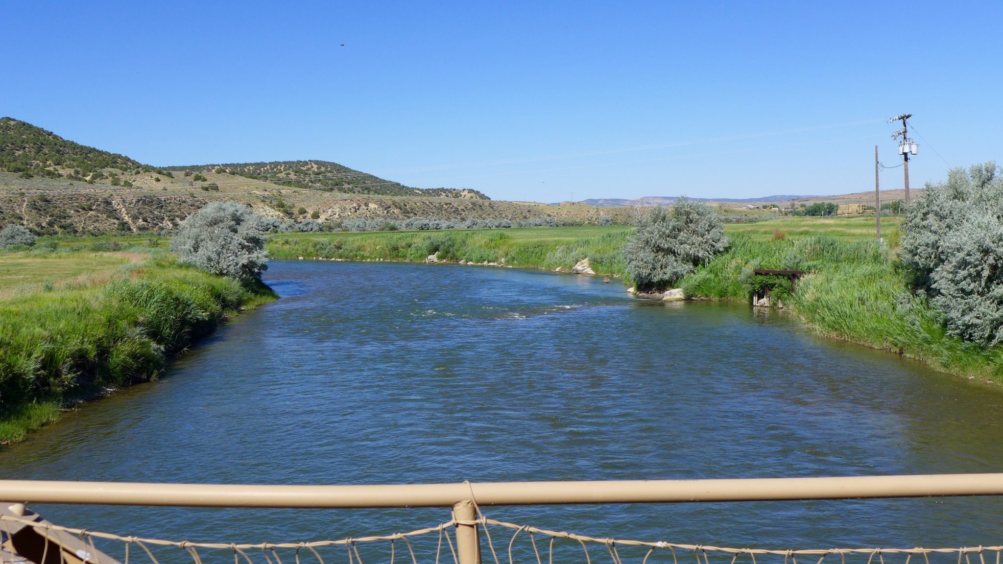
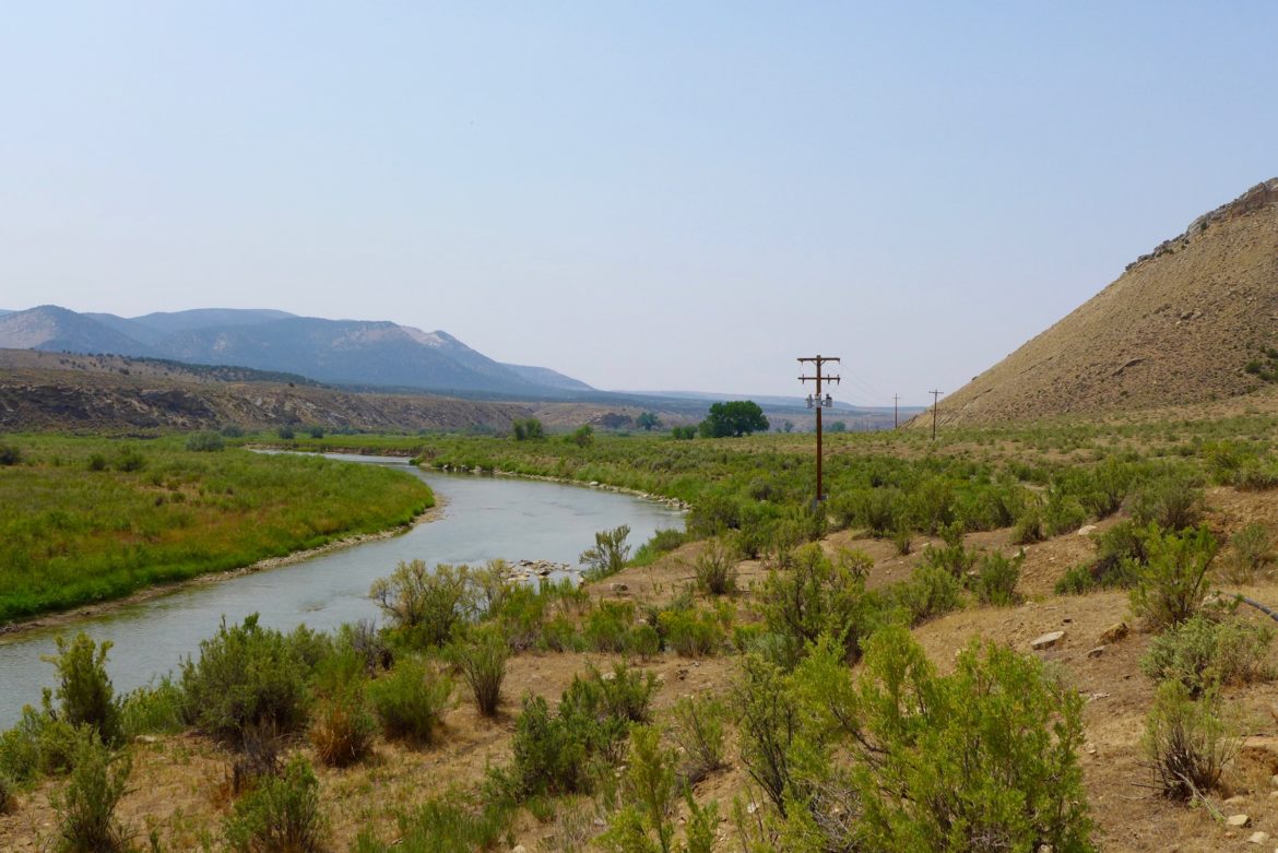
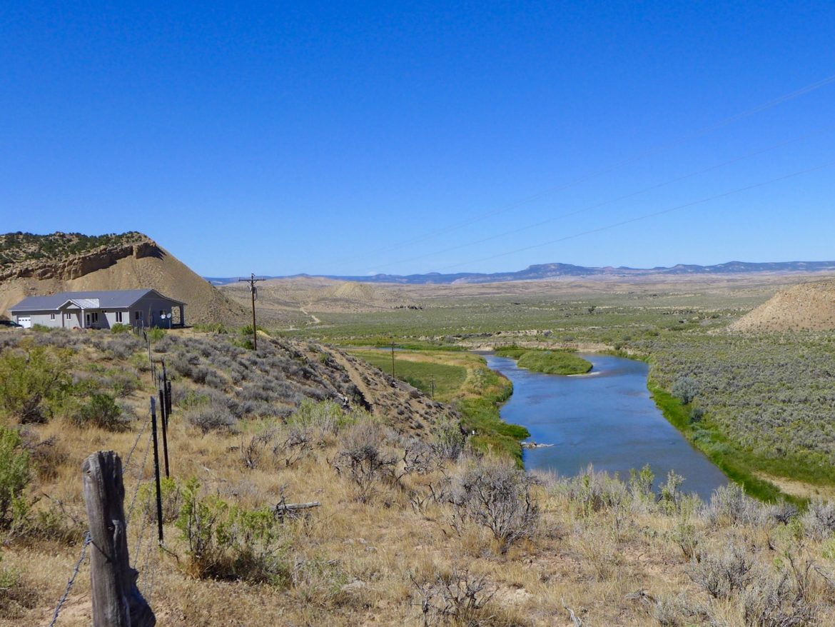
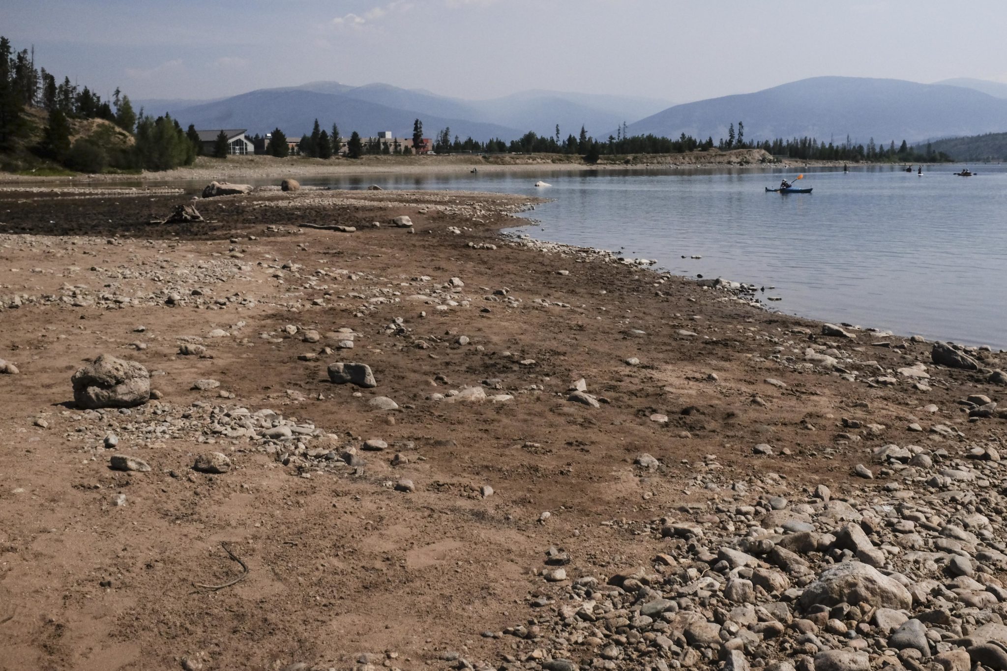
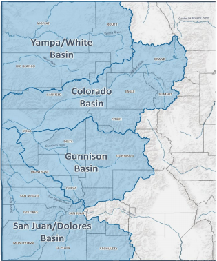
The dry, hot spring gave way to a dry, hot summer — and the results were striking. The water year ended with almost every part of the state in a precipitation deficit. The southwest corner of the state was hit the hardest, with precipitation levels below 30% of normal in April, May, August and September. Several sites in southwest Colorado — specifically, the Gunnison, Dolores and San Juan river basins — registered their driest Aprils on record. Statewide, reservoir levels were at 49% of capacity, which is 84% of the average for Oct. 1.
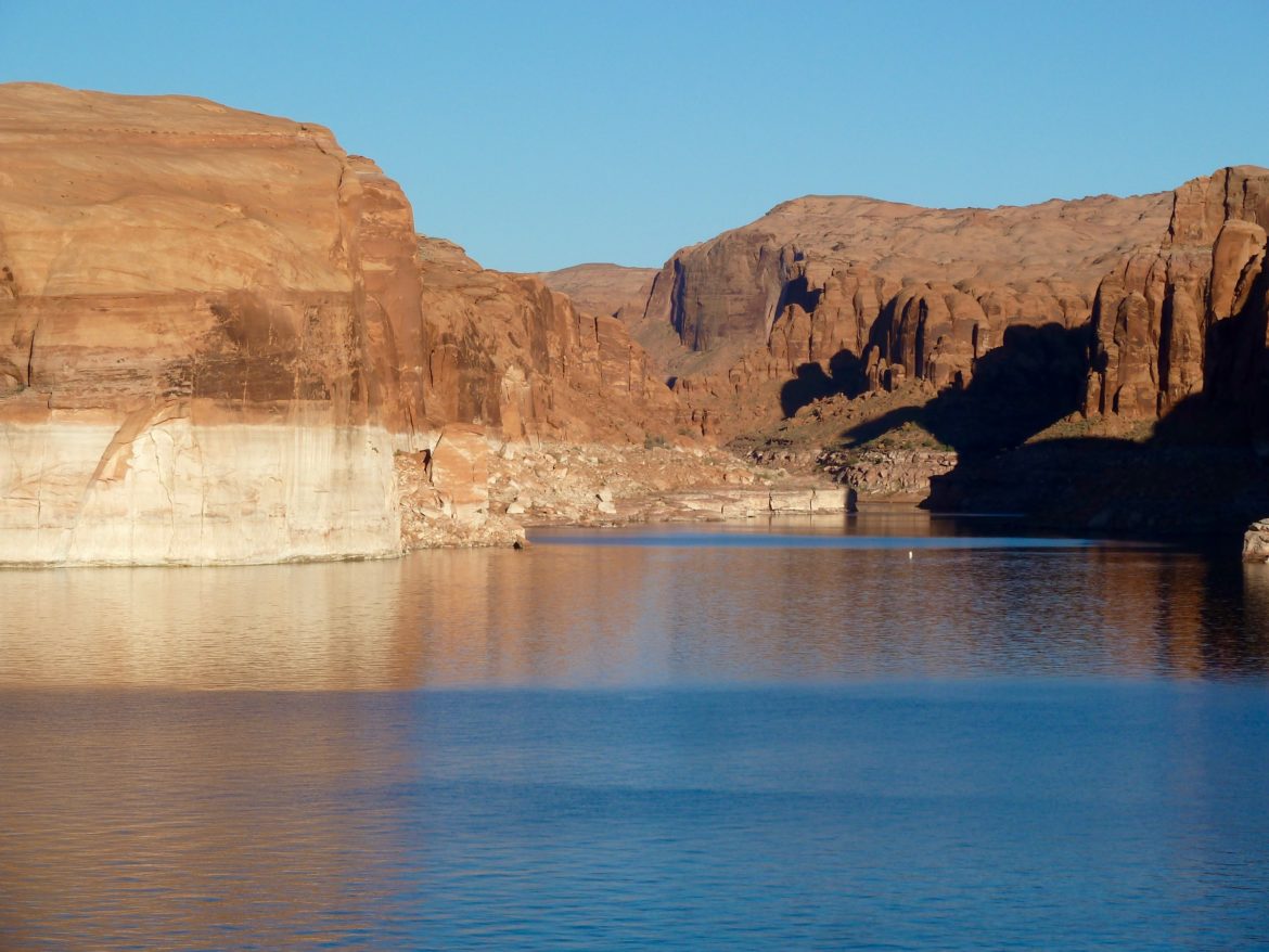
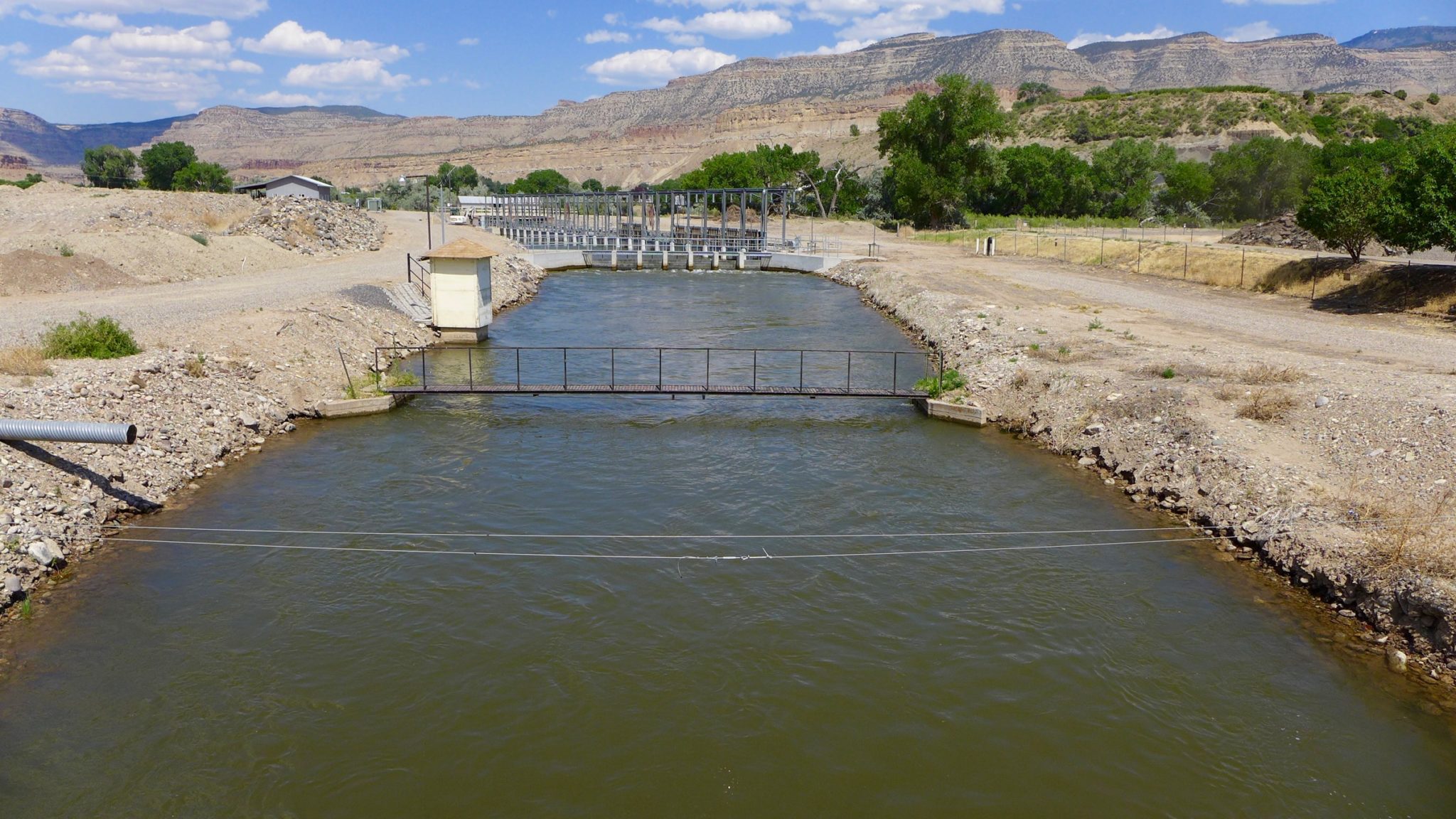
According to preliminary data from the Bureau of Reclamation, the total inflow into Lake Powell for the 2020 water year was about 6 million acre-feet, just 55% of average. This is the 10th-lowest recorded inflow into Lake Powell. Lake Powell finished the water year at 47% of capacity.
The low inflow to Lake Powell puts Colorado and the three other states in the upper basin of the Colorado River at risk in the future. Under the 100-year-old Colorado River Compact, the upper-basin states (Colorado, New Mexico, Utah and Wyoming) must be able to release 7.5 million acre-feet of water from Lake Powell to the lower-basin states (Arizona, California and Nevada) every year. Failing to meet this obligation would trigger mandatory water cuts in the upper basin.
Every year that flows are low into Lake Powell, the upper basin relies on storage in Lake Powell to meet its flow obligations. So far, there has never been a compact call, even in drought.
“We’re 20 years into the worst drought in recorded history. Yet, in every year of the drought, the upper basin has met its river-flow obligation to the lower basin,” said Bureau of Reclamation spokesperson Marlon Duke. “In fact, across all 20 years of the current drought, we’ve released an average of 8.73 million acre-feet from Lake Powell, even in the driest years when less than 5 million acre-feet flowed into the reservoir.”
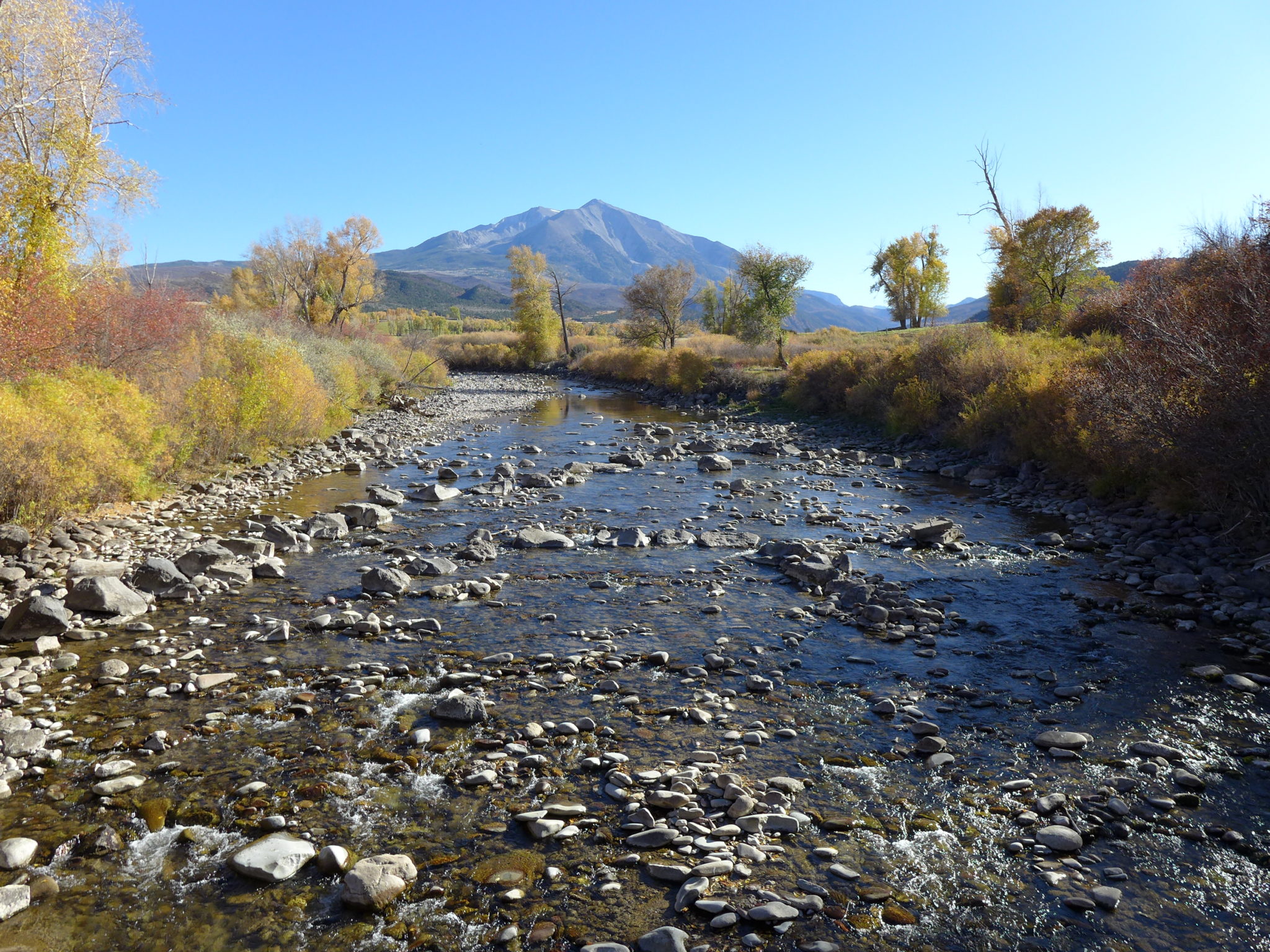
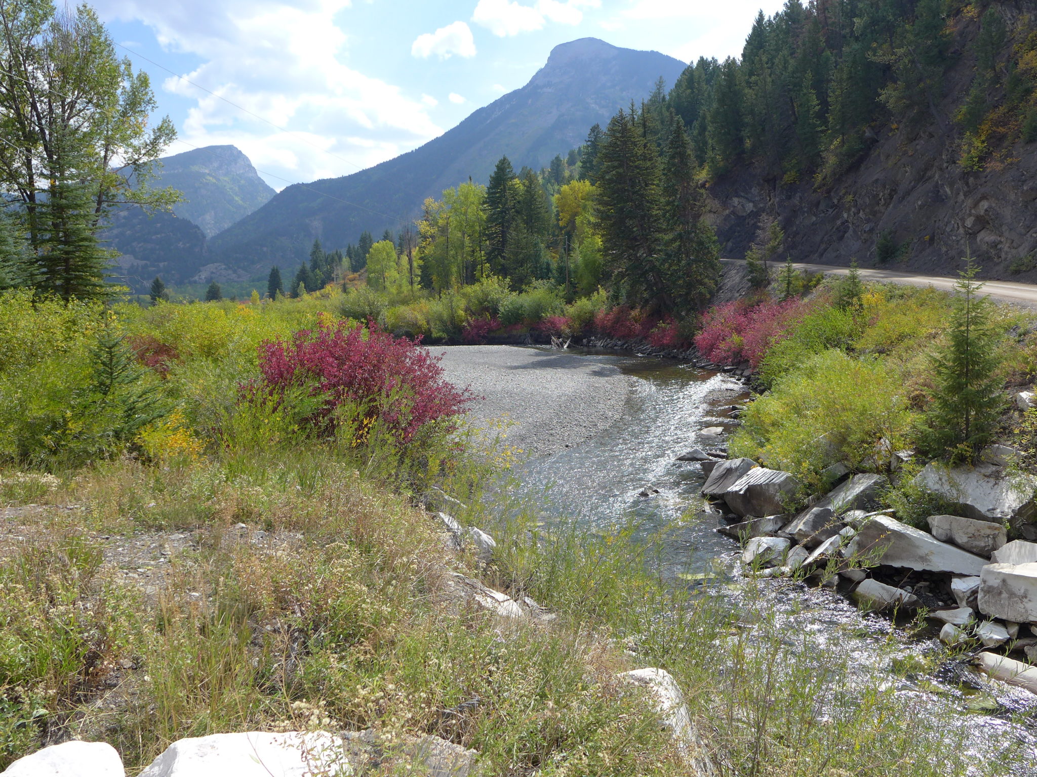
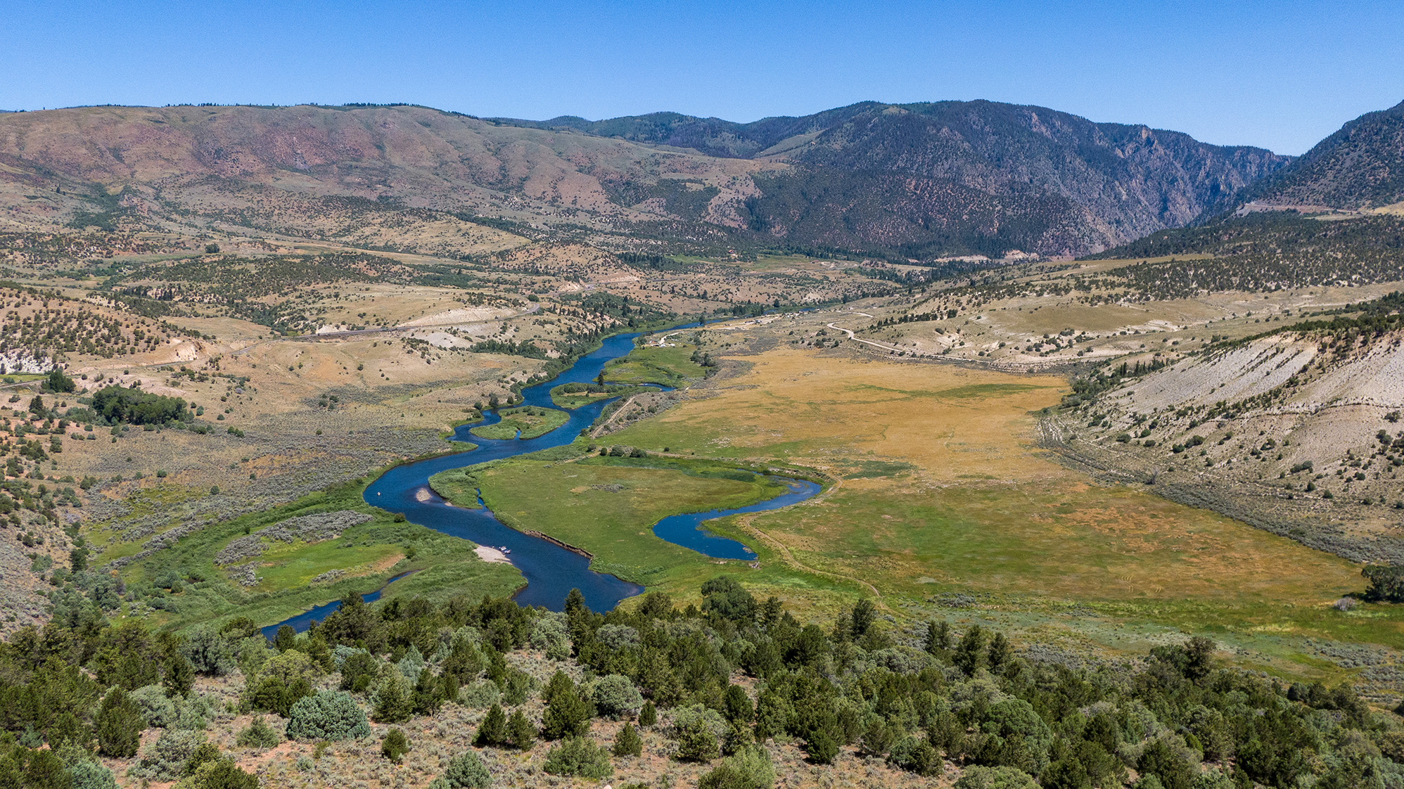
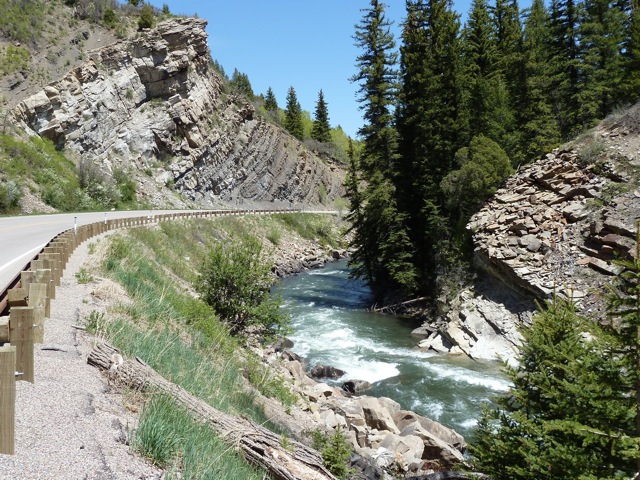
Locally, the Roaring Fork Valley reported average snowpack levels this year but saw below-average streamflow in every month except May in data available through July. The river is currently about 27% below its seasonal average. Reservoirs in the upper Colorado River basin are 82% full as of Oct. 1, which is 101% of average for the date.
High-temperature, low-soil-moisture trend
Climatologists warn that the trend seen throughout the basin where high temperatures and low soil moisture wiped out healthy snowpack levels is likely to become more normal in the future. According to Bolinger, if high fall or spring temperatures shorten the typical snow season by even a short time, it can drastically alter the time frame for the melt season.
“Precipitation is pretty variable around our state, so we are always going to see droughts,” she said. “We are seeing a very clear warming trend, and I think it is likely that the warmer temperatures will contribute to making those droughts more severe.”
Although climatologists and hydrologists are still unsure of exactly how every variable of climate change will affect water supply in the future, repeated dry years are already taking a toll on the state. After severe droughts in 2012 and 2018, Colorado’s water managers were hoping for a string of good water years to recover. That did not happen in 2020.
“It’s been a miserable year from a hydrology perspective,” said Colorado River Water Conservation District General Manager Andy Mueller. “I would say that I think that we, as a state and as the West Slope, we need to be coming to terms with a new reality. We are seeing what used to be an every-one-in-30-year dry year coming every year instead.”
In an effort to deal with increased pressure on rivers, as well as a declining budget, the River District placed a question on the November ballot asking voters in its 15-county jurisdiction to raise property taxes that fund the district. If passed, the measure would raise nearly $5 million, most of which the district says would go toward projects supporting productive agriculture; infrastructure; healthy rivers; watershed health and water quality; and conservation and efficiency.
Starting 2021 with a deficit
While policy across Colorado is still catching up to the dry conditions today, models for the upcoming year indicate that the state may need to brace for another poor water year in 2021.
“Soil-moisture conditions entering the winter can have an impact on the amount of runoff that occurs the following spring,” said Cody Moser, a senior hydrologist with the Colorado Basin River Forecast Center. “Below-average soil moisture conditions have a negative impact on water-supply volumes because soil-moisture deficits are larger, leading to less-efficient snowmelt and rainfall runoff. It’s looking highly likely that soil-moisture conditions throughout western Colorado will be below normal entering the upcoming snowpack-accumulation season.”
The state is also experiencing La Niña conditions, which results in a dry fall. La Niña conditions are expected to persist into winter, which generally delivers the state a mixed bag in terms of precipitation. In a typical La Niña year, Colorado’s northern mountains see above-average snowfall, while the state’s Eastern Plains and the San Juan mountains in the southwest see less snow than usual. This could be disastrous for the southwestern corner of the state, which has experienced more-intense drought than almost any other part of the country in recent years.
Higher-than-normal temperatures are also expected to play a role in the 2021 water year.
“The climate prediction center is calling for a good chance of above-average temperatures in October,” said Bolinger. “That makes it harder for the snowpack season to start, and when you don’t start it right away, it makes it harder. You have less time to build up to your normal peak.”
This story ran in the Oct. 15 edition of the Steamboat Pilot and Today, the Oct. 17 edition of the Summit Daily News and the Oct. 21 edition of The Aspen Times.
This story was supported by The Water Desk and The Walton Family Foundation.
The Water Desk’s mission is to increase the volume, depth and power of journalism connected to Western water issues. We’re an initiative of the Center for Environmental Journalism at the University of Colorado Boulder. The Water Desk launched in April 2019 with support from the Walton Family Foundation. We maintain a strict editorial firewall between our funders and our journalism. The Water Desk is seeking additional funding to build and sustain the initiative. Click here to donate.


