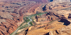
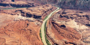
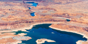
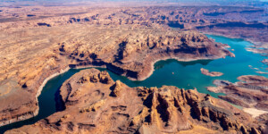
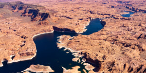
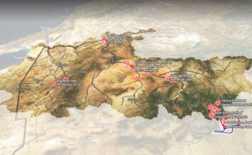
This page features aerial photos of the San Juan River, a key tributary of the Colorado River that drains the Four Corners region and meets Lake Powell in southern Utah’s Glen Canyon.
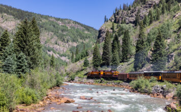
The San Juan River begins as snowmelt in the mountains of southwest Colorado and travels through northwest New Mexico, where it serves as an important water source for Farmington and the Navajo Nation. In southern Utah, the river snakes through so-called goosenecks, classic examples of the entrenched meanders that are incised into the Colorado Plateau.
The river, which is popular among anglers and rafters, has seen its flows reduced by human use and climate change. Our library also has images of Navajo Dam and Navajo Lake, along the San Juan River and part of the Colorado River Storage Project.
Thanks to LightHawk for the aerial support.
| Date | May 2021 |
| Location | San Juan River and Lake Powell in southern Utah (map) |
| Credit | Ted Wood/The Water Desk with aerial support from LightHawk.org |
| Rights | Free to reuse under Creative Commons license. |
Selected images from the gallery
Click to enlarge
To use these images
Please read and consent to the terms and license below for access to the download page.
To help us continue to offer this free material, we ask that you please:
- Credit the original photographer and the Water Desk as the source
- Email us a link to the published story at waterdesk@colorado.edu
- Consider sending The Water Desk your ideas for future content that we could add to the library
- Keep supporting professional photojournalists by hiring them for assignments


