
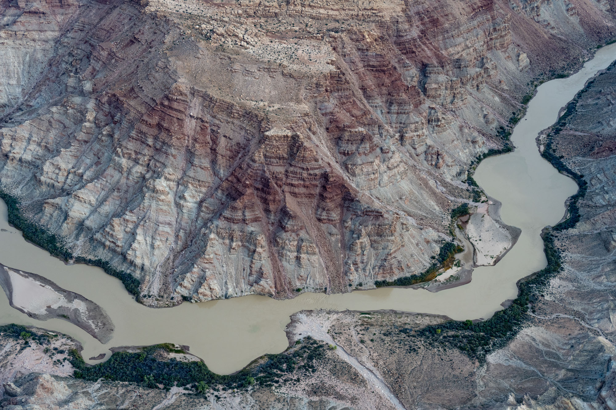
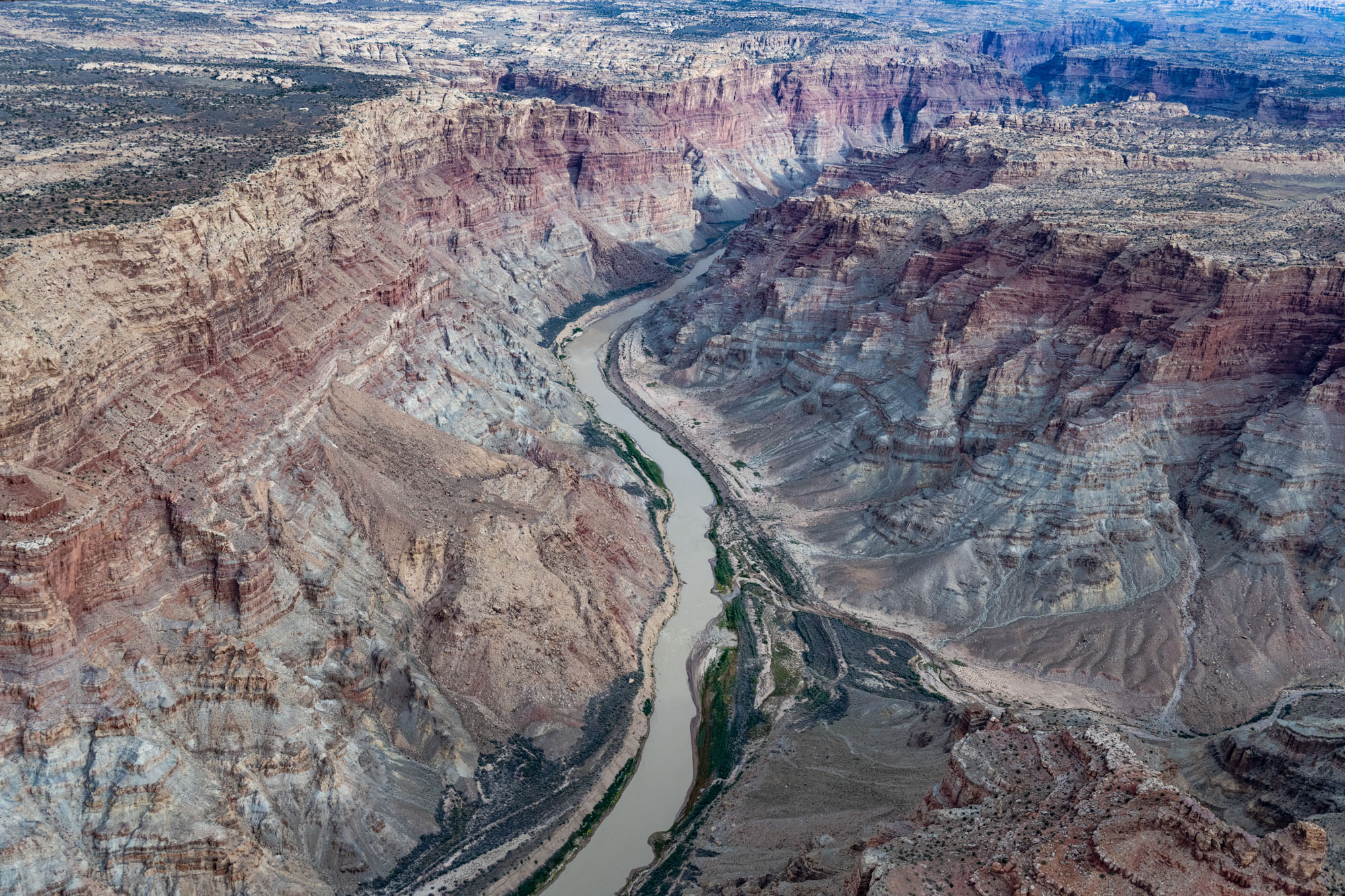
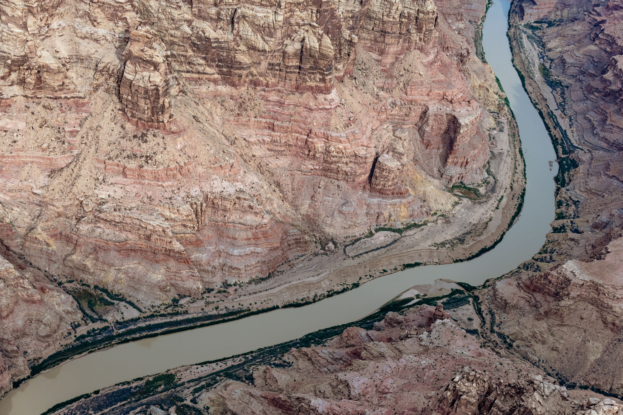
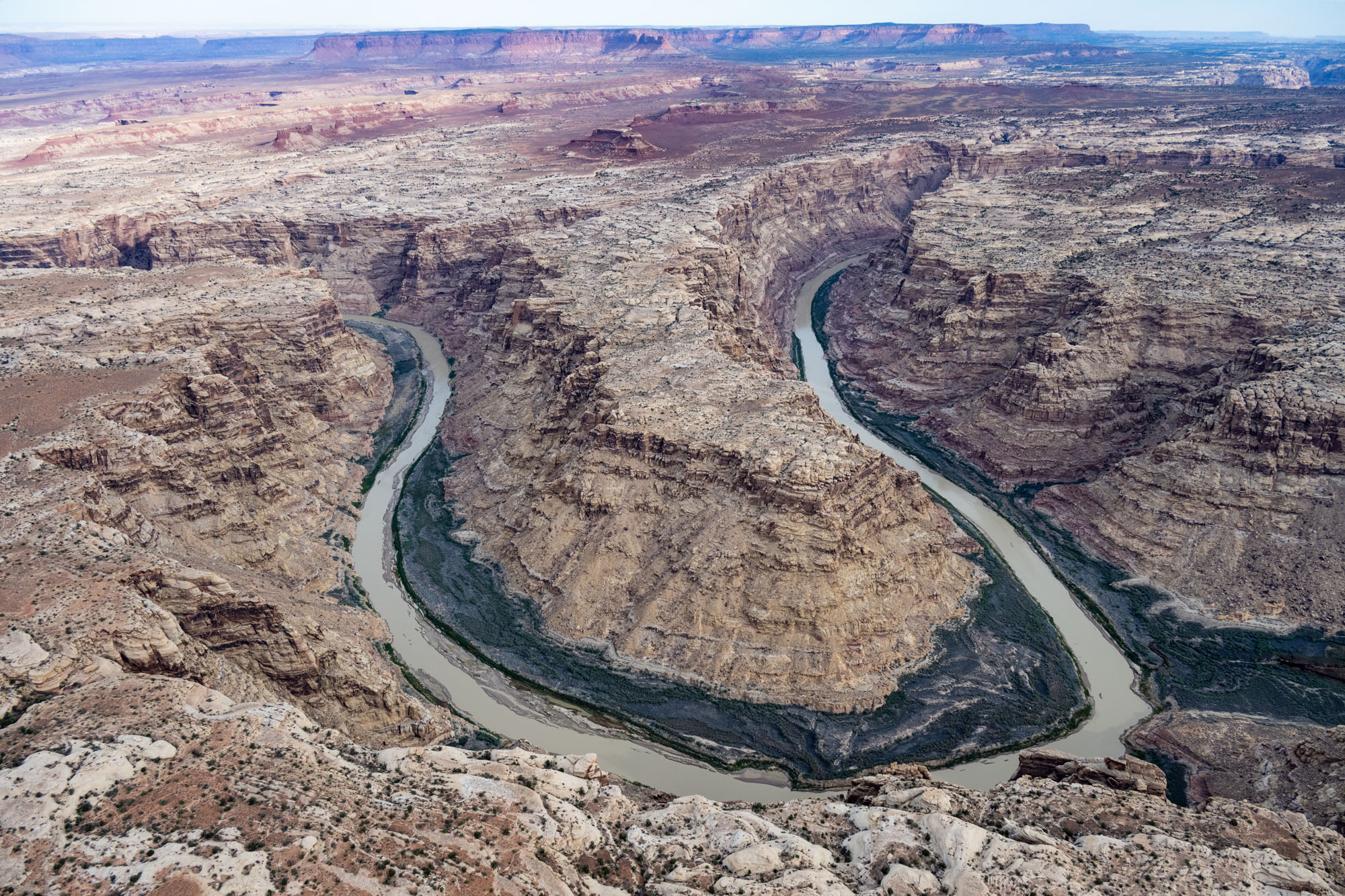
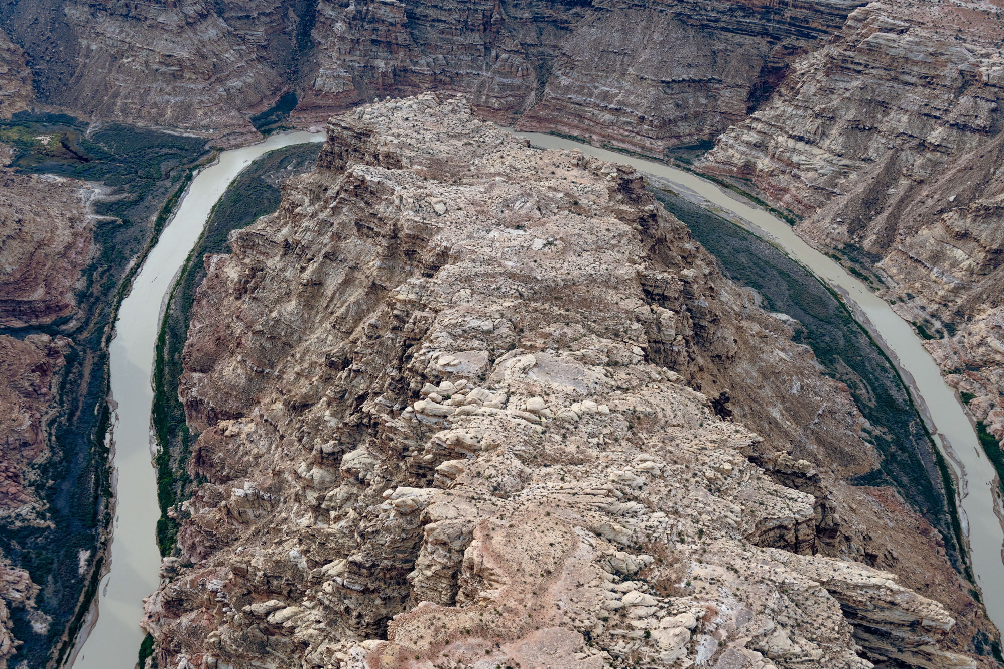
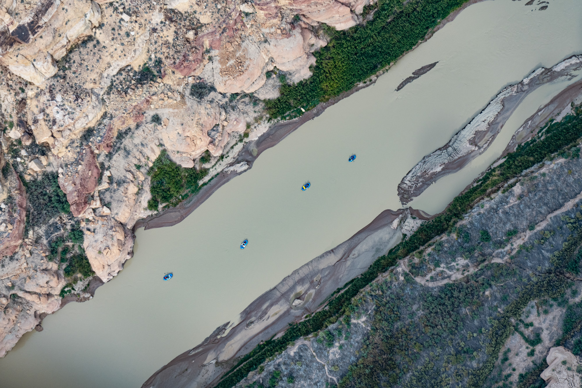
This page features aerial photos of Cataract Canyon, along the Colorado River in Utah’s Canyonlands National Park and Glen Canyon National Recreation Area.
Cataract Canyon begins at the confluence with the Green River and ends at the confluence with the Dirty Devil River.
Carved by the Colorado River over the eons, the canyon was named during the 1869 Powell Expedition, which portaged every rapid.
“The canyon is home to 14 miles of rapids ranging in difficulty up to Class V,” according to the National Park Service. “It is a particularly hazardous and isolated section of the Colorado River and is subject to extreme water level fluctuations.”
| Date | October 2022 |
| Location | Cataract Cayon, Utah (map) |
| Credit | Alexander Heilner/The Water Desk |
| Rights | Free to reuse under Creative Commons license. |
Selected images from the gallery
Click to enlarge
To use these images
Please read and consent to the terms and license below for access to the download page.
The Water Desk’s photo and video resources are part of our efforts to aid and enrich news coverage of Western water issues. Our imagery is shot by professional photojournalists and is available for free reuse under a Creative Commons noncommercial license.
To help us continue to offer this free material, we ask that you please:
To help us continue to offer this free material, we ask that you please:
- Credit the original photographer and the Water Desk as the source
- Email us a link to the published story at waterdesk@colorado.edu
- Consider sending The Water Desk your ideas for future content that we could add to the library
- Keep supporting professional photojournalists by hiring them for assignments


