For the second time, the state’s top water cop has directed the Western Slope’s oldest and most valuable water rights to be left off the once-a-decade abandonment list. That means hundreds of these mostly irrigation water rights have been granted immunity — even though they are no longer being used — from the threat of “use it or lose it,” further enshrining them in the state’s system of water administration and dealing a blow to the validity of the well-known adage.
Every 10 years, engineers and water commissioners from the Colorado Division of Water Resources review every water right — through diversion records and site visits — to see whether it has been used at some point in the previous decade. If it hasn’t, it could end up on the decennial abandonment list, which is scheduled to come out in July.
But a November 2018 email from state engineer Kevin Rein to all four Western Slope division engineers instructs them to not include pre-compact rights on the abandonment list. That includes all the water rights in the Yampa/White/Green, Colorado, Gunnison and San Juan/Dolores river basins.
“Since the nature of the pre-compact water rights is unique in Colorado when it comes to administration of the Colorado River Compact, and in recognition of the fact that the value of the rights could benefit all water users in Colorado, as opposed to only the owner of the water right, I will ask that you direct your staff to do no further investigation of pre-compact water rights and to not include them in the Division Engineers Proposed Abandonment list for 2020,” the email reads.
A primary job of the state and division engineers is to administer Colorado’s system of prior appropriation, in which the older the water right, the more powerful it is.
Rein said he talked with major water providers and managers along the Front Range and on the Western Slope before making the decision, but he would not say which ones or anything about the nature of those conversations.
Former state engineer Dick Wolfe issued a similar directive regarding the 2010 abandonment list, meaning Colorado’s water rights that date to before June 25, 1929 — when Congress ratified the Colorado River Compact — have enjoyed an extra level of protection from state-led abandonment for two decades.
“We need to allow for the fact that if those water rights are abandoned and taken off the tabulation, then that amount of water is no longer available to Colorado,” Rein said.
But what exactly the value of unused, pre-compact water rights could have to all Colorado water users remains unclear. Post-compact water rights, meaning those after June 25, 1929, are still eligible for the abandonment list.
According to Rein, the decision to include water rights on an abandonment list is administrative one and he has statutory authority to revise the list.

Colorado River Compact
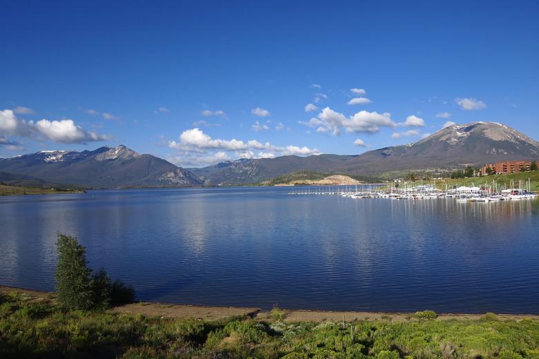
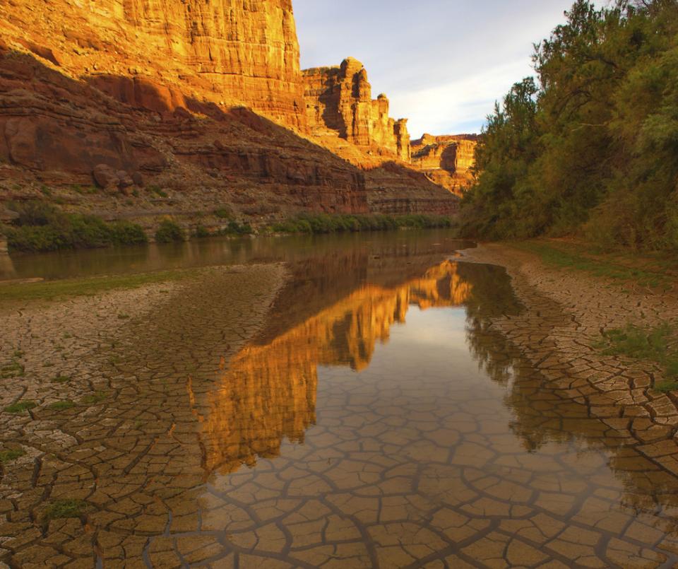
A major fear of Colorado water managers is what’s known as a “compact call.” If the upper basin states — Colorado, Utah, Wyoming and New Mexico — don’t deliver the required 75 million acre-feet of water over 10 years as specified in the Colorado River Compact to the lower basin states — California, Nevada and Arizona — it could lead to a compact call. This scenario, which looms larger each year with the increasing effects of drought and climate change on an over-allocated river, could trigger involuntary cutbacks for Colorado water users.
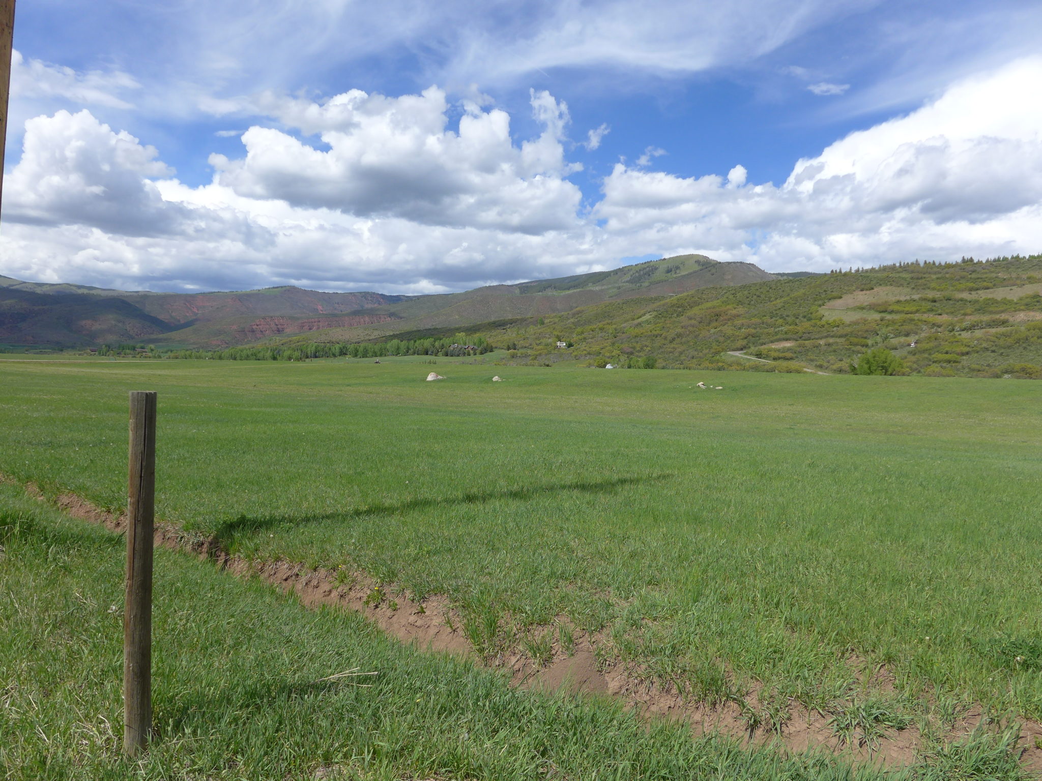
But water rights that had been perfected before the compact was ratified are exempt from these cutbacks. And now the state is adding unused, pre-compact water rights to this exempt category. In Colorado, many of these oldest water rights belong to Western Slope agriculture.
Like moving a pawn early in a chess match, it is unclear exactly how this directive from Rein could help Colorado in the future. Nobody really knows whether or how a compact call (or negotiations among states to avoid one) might play out. Therefore, no one can say exactly what value these pre-compact water rights have to Colorado.
Water experts and managers throughout the upper and lower basin were reluctant to talk about the issue and gave diplomatic responses to questions about the sensitive political issue of interstate compact compliance.
“I don’t know the answer,” Rein said. “I think there’s general agreement that these water rights may have value in a compact-call scenario. I don’t know because of the complexities of it.”
Some water experts say preserving these pre-compact water rights, even though they aren’t being used, could give Colorado stronger footing in potential negotiations with lower basin states by propping up Colorado’s consumptive-use tally on paper.
“I would say it’s a conservative approach and it might help in your negotiations with other states,” said Doug Kemper, executive director of the Colorado Water Congress. “You would be making the argument that we have this portfolio of water rights, these are still on the books. But again, you’re trying to forecast how a negotiation might proceed, and I think to meaningfully comment on that would be almost impossible right now.”
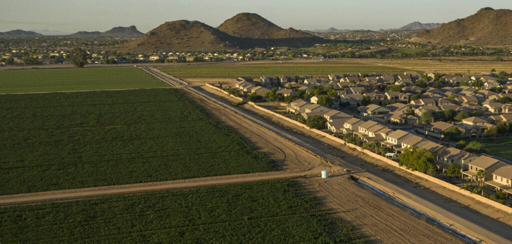
Preserving these irrigation water rights also means they would be available to transfer to other users in the future, such as Front Range water providers — whose water rights are mostly post-1929 and therefore vulnerable to cutbacks under a compact call — as the state continues to urbanize.
In a prepared statement, Denver Water CEO Jim Lochhead said the water provider, which supplies water to 1.4 million people, “is supportive of the state’s efforts to protect Colorado’s pre-compact rights. This approach will benefit and help provide additional security for Colorado River water users on the West Slope and Front Range.”
Reagan Waskom, director of the Colorado Water Center at Colorado State University, agreed that hanging onto those pre-compact water rights could be in the state’s best interest.
“The idea of holding as many of those pre-compact rights in place makes sense from a purely Colorado-centric point of view,” said Waskom. “We still don’t know what a compact call or curtailment would look like, so we are going to stay as conservative and protective as we can.”
The Colorado River Water Conservation District is in favor of Rein’s directive, according to general counsel Peter Fleming. The Glenwood Springs-based River District works to protect water rights on the Western Slope, which often means advocating for agriculture interests.
But Fleming brings up an interesting point: The value of water rights in Colorado is based on them being used. If these water rights still exist on paper but haven’t been used in a decade — in some cases, two decades — what is their value?
“There’s this notion that pre-compact water rights are sacrosanct and very important, and that’s true if they have continued to be used and historically consumed,” Fleming said. “But you don’t just make water available by saying these rights that haven’t been used for X number of years still exist. So, I guess I would say it’s a risk-avoidance strategy, but it’s an unproven strategy.”

Abandonment
Rein’s directive also helps debunk the adage “use it or lose it.” While the pre-compact rights are not being used, they also are no longer in danger of being lost. The threat of the state taking away a water right has now disappeared for Western Slope pre-compact irrigation rights.
The often-misunderstood tenet “use it or lose it” is embodied by the abandonment process.
Some water users believe that if they don’t divert the full amount they are entitled to — even if they don’t always need that much — the state will take it away and it will be available to another water user. But the concept is much more nuanced than that.
Colorado water law says abandonment is “the termination of a water right in whole or in part as a result of the intent of the owner thereof to discontinue permanently the use of all or a part of the water available.”
Just not using the water will not lead to abandonment; there must be an intent to abandon the right.
For a water user to keep their water right, they must put the water to “beneficial use,” which in the case of irrigation water means growing crops. If the water has not been used for 10 years — meaning there are no diversion records and the local water commissioner does not see evidence of water use on their site visits — division engineers could presume that the water right has been abandoned. They put it on the state’s initial abandonment list, which is updated every 10 years and published in local newspapers.
Water-right holders then have one year to file an objection to their listing in writing with the division engineer.
“We don’t like close calls, so if they diverted the water 11 years ago, we are going think, ‘Eh, I don’t know,’ because we are talking about somebody’s property right,” said Alan Martellaro, Division Engineer for Water Division 5.
After working through the objections with water-right holders, the division engineer publishes the revised abandonment list. If a water-right holder still protests their placement on the list, they can go to water court to argue that they did not intend to abandon the water right.
For the 2010 Division 5 abandonment list, Martellaro said the pre-compact rights comprised easily half the list before Wolfe instructed division engineers to take them off. The 2011 revised Division 5 abandonment list included about 75 water rights, one-third of which were related to the now-defunct Mid-Continent mine on Coal Creek near Redstone where a 1981 explosion killed 15 miners.
The 2020 abandonment list is expected to come out in July.
Aspen Journalism is a local, nonprofit and investigative news organization that covers water and river issues in collaboration with The Aspen Times and other Swift Communications newspapers. This story appeared in the June 22 edition of The Aspen Times and the June 22 edition of Aspen Journalism.
The Water Desk’s mission is to increase the volume, depth and power of journalism connected to Western water issues. We’re an initiative of the Center for Environmental Journalism at the University of Colorado Boulder. The Water Desk launched in April 2019 with support from the Walton Family Foundation. We maintain a strict editorial firewall between our funders and our journalism. The Water Desk is seeking additional funding to build and sustain the initiative. Click here to donate.