
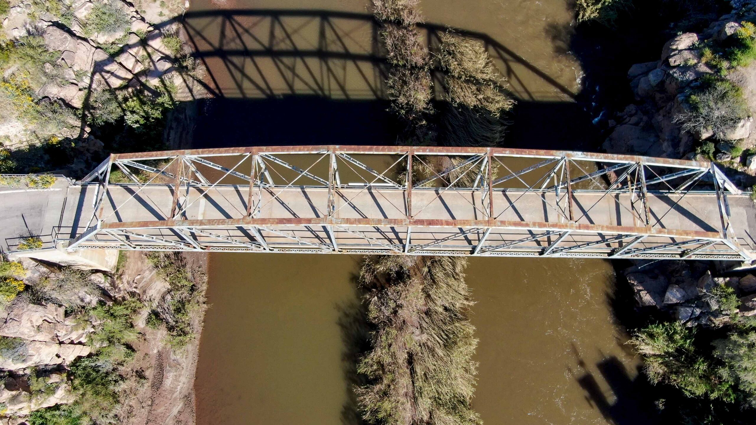
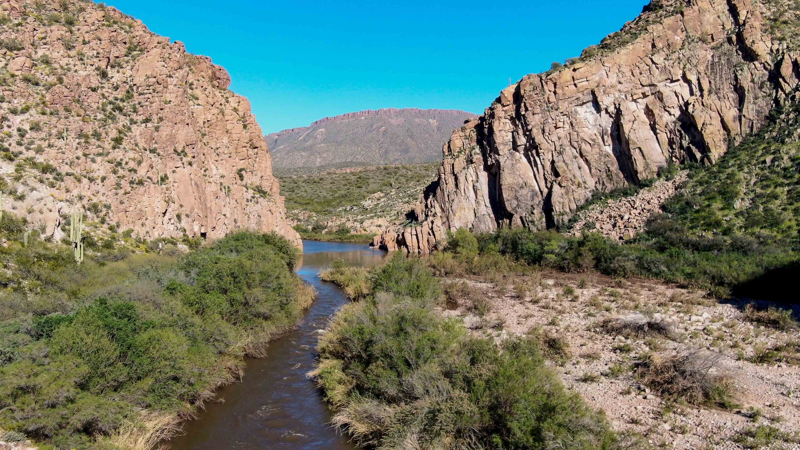
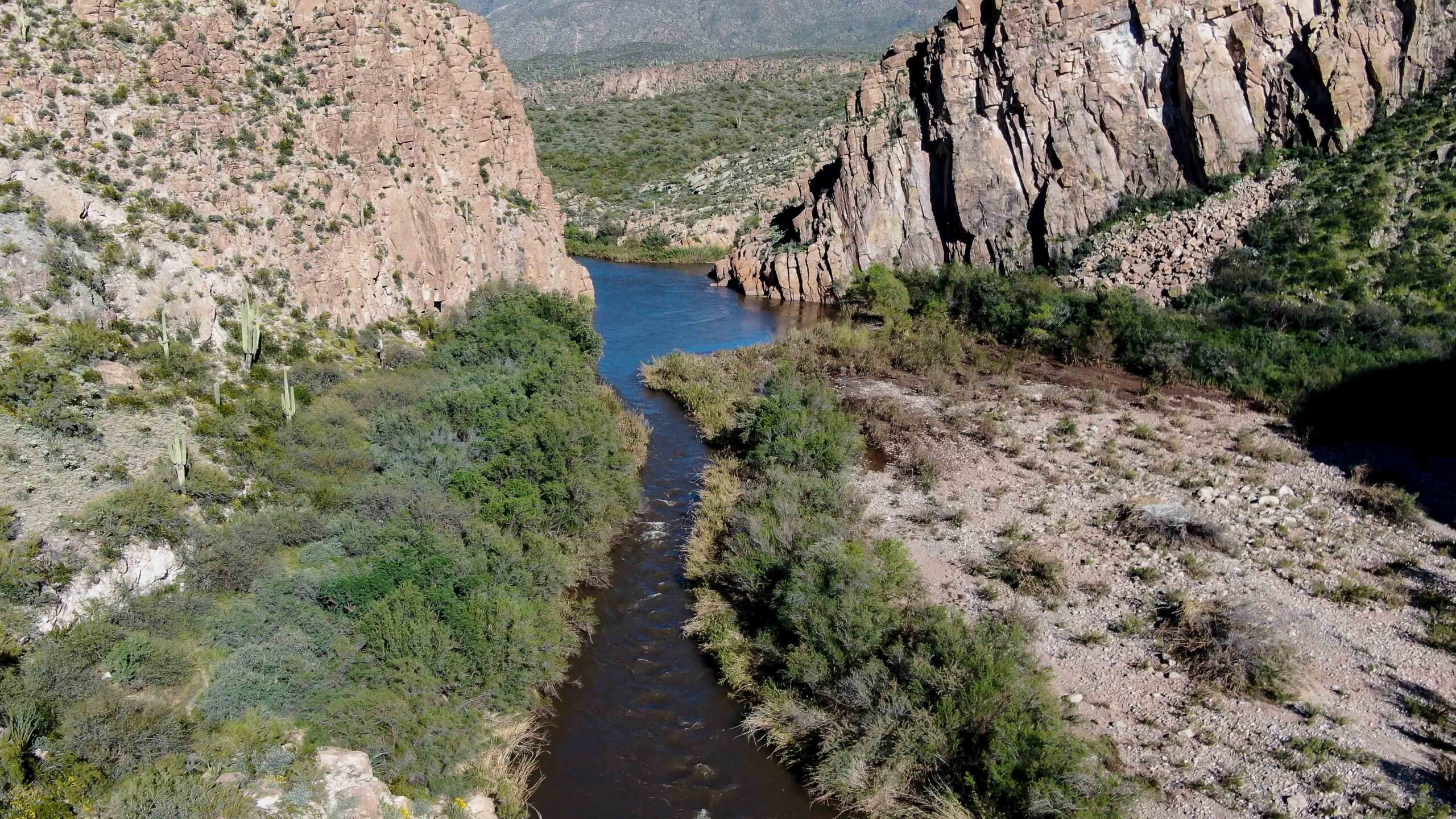
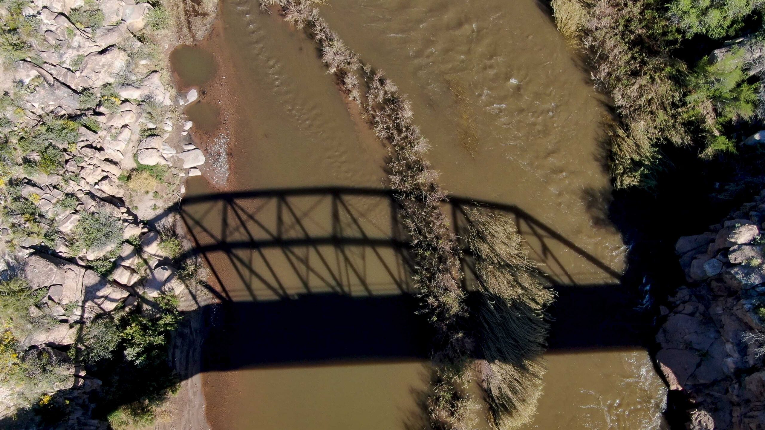
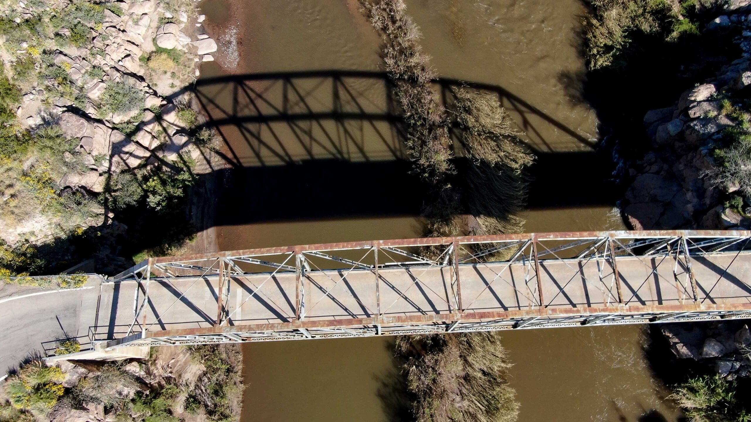
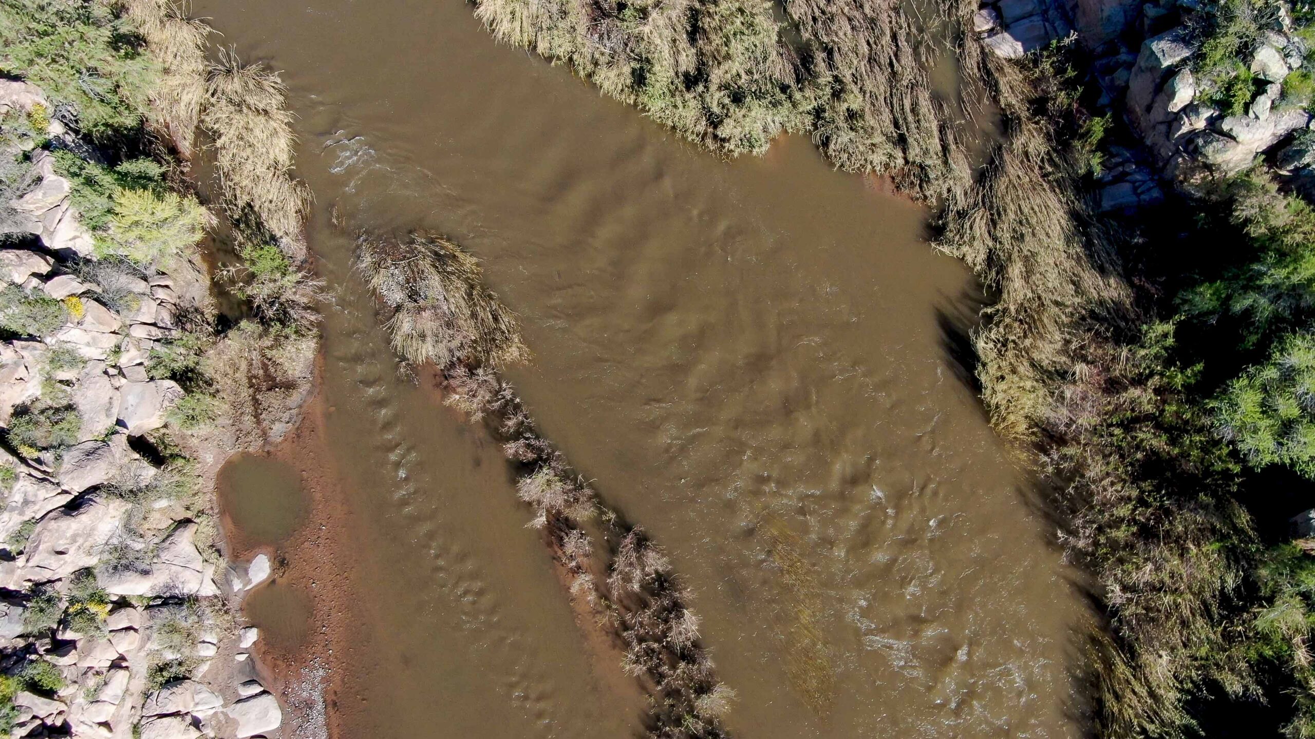
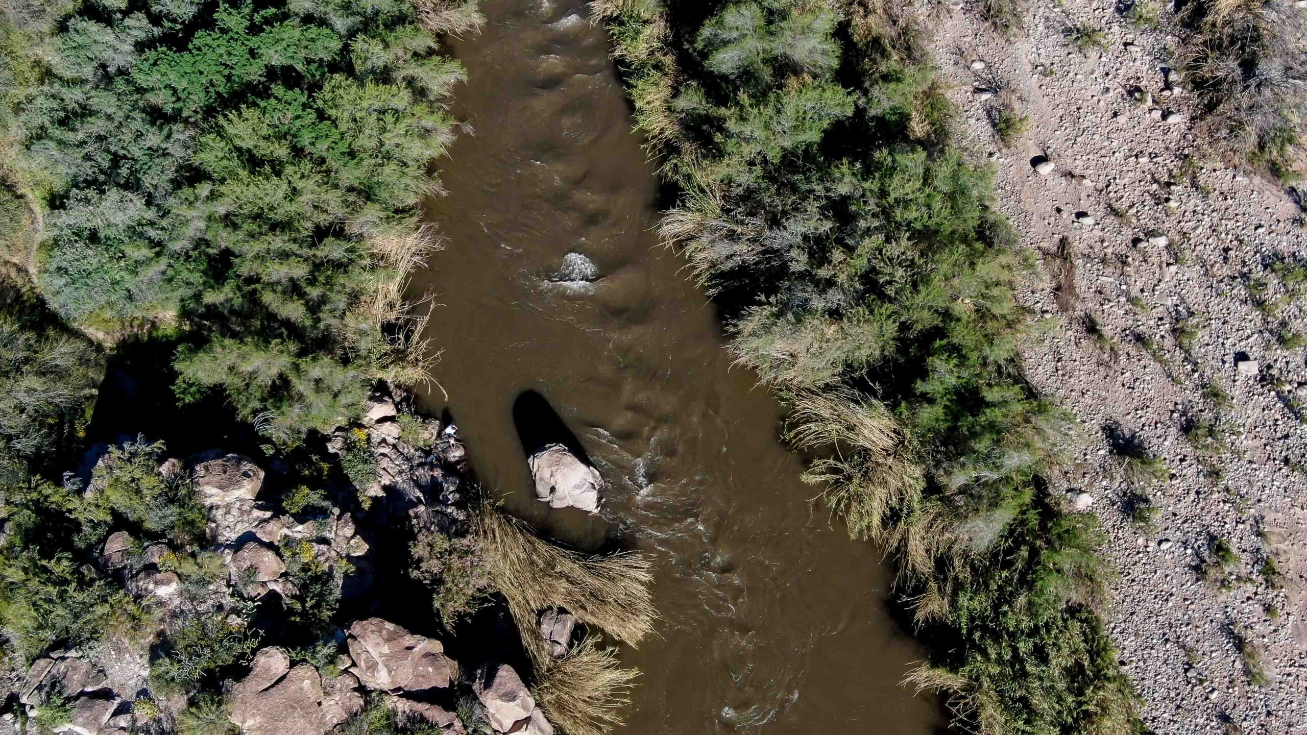
This page features drone footage and still imagery of the Salt River, near Theodore Roosevelt Lake in Arizona.
The Salt River, which runs for about 200 miles, is a key component of Phoenix’s water supply and the largest tributary of the Gila River. Theodore Roosevelt Dam, completed in 1911, was one of the first major projects of the agency now known as the U.S. Bureau of Reclamation.
View this gallery for high-resolution downloads »
| Date | April 1, 2020 |
| Location | Salt River near Theodore Roosevelt Lake, Arizona (map) |
| Photographer | Mitch Tobin, FAA Remote Pilot Certificate #4002345 |
| Organization | The Water Desk at the University of Colorado Boulder |
| Rights | Free to reuse under Creative Commons license, with credit to “Mitch Tobin/WaterDesk.org” |
Selected images from the gallery
Click to enlarge

View gallery on SmugMug 
View gallery on SmugMug 
View gallery on SmugMug 
View gallery on SmugMug 
View gallery on SmugMug 
View gallery on SmugMug 
View gallery on SmugMug 
View gallery on SmugMug 
View gallery on SmugMug


To use these images
Please read and consent to the terms and license below for access to the download page.
The Water Desk’s photo and video resources are part of our efforts to aid and enrich news coverage of Western water issues. Our imagery is shot by professional photojournalists and is available for free reuse under a Creative Commons noncommercial license.
To help us continue to offer this free material, we ask that you please:
To help us continue to offer this free material, we ask that you please:
- Credit the original photographer and the Water Desk as the source
- Email us a link to the published story at waterdesk@colorado.edu
- Consider sending The Water Desk your ideas for future content that we could add to the library
- Keep supporting professional photojournalists by hiring them for assignments
All of the content in our multimedia library is available for free download and reuse under a Creative Commons license.


