
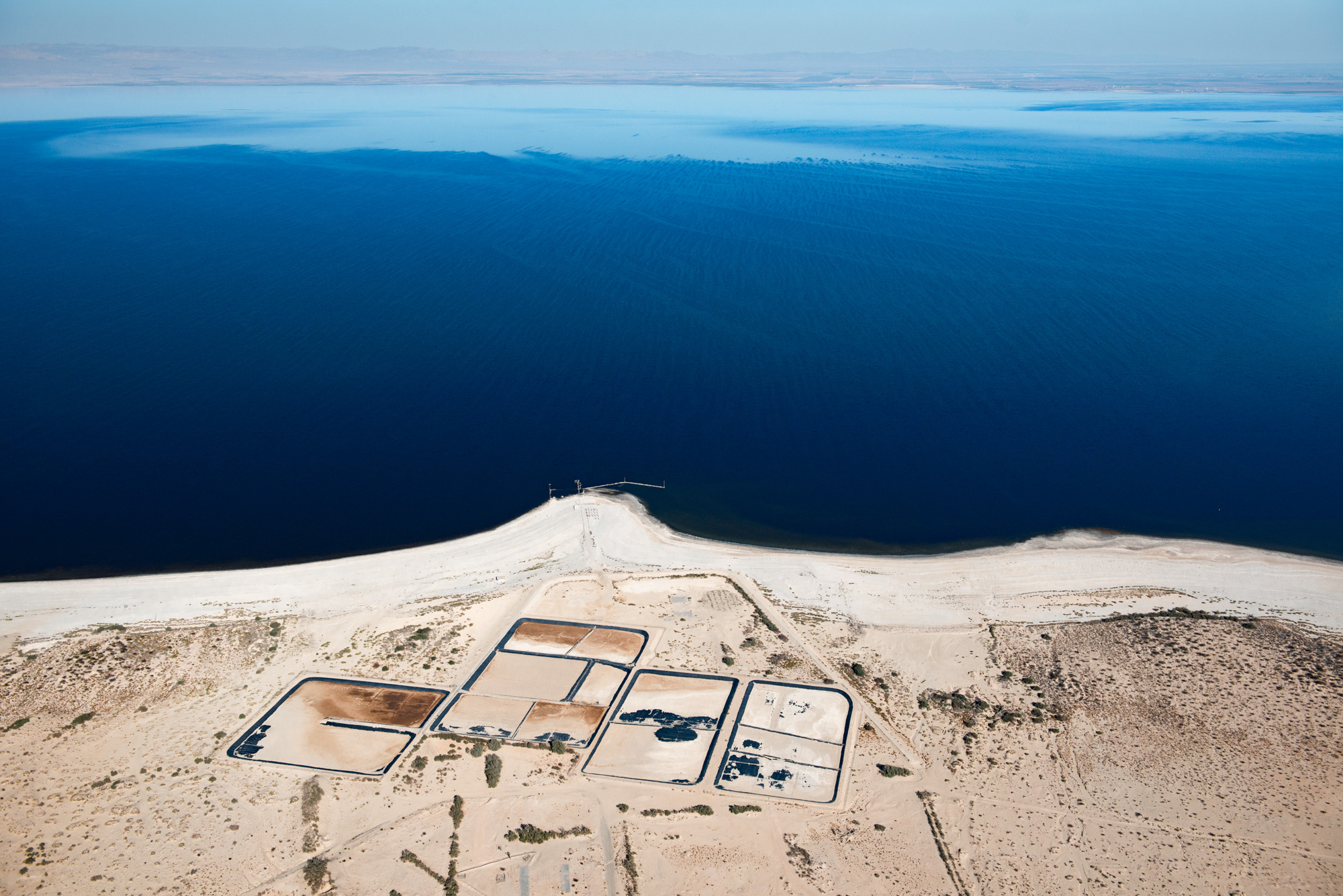
This page features aerial imagery of the Salton Sea in Southern California.
The Salton Sea is a shallow, highly saline lake bordering southern California’s Imperial County. The lake was created by accident in 1905 when an influx of Colorado River water from spring flooding broke through canal headgates and deposited in the Salton Sink—a low-lying depression in the desert. Over the next few years, contributions from agricultural runoff allowed the Salton Sea to grow to a surface area of around 400 square miles. Today, the Salton Sea’s surface area is roughly 330 square miles, dropping over 10% in the last two decades alone.
Both people and wildlife flocked to the area during the mid-20th century, establishing what many expected to be California’s newest resort community. Not only did the lake provide miles of shoreline for waterfront views and boat docks, but it also acted as sanctuary for millions of migratory birds since California’s wetlands were already dwindling. However, agricultural runoff began raising salinity and contaminant levels in the lake, causing avian die-offs and massive fish-kills in the 1970s.
By the turn of the 21st century, drought and the more efficient use of irrigation water in the Imperial Valley—meaning less agricultural runoff entering the lake—caused the Salton Sea to begin shrinking drastically. As the lakebed dried up, the toxic chemicals left behind became exposed and often blow into nearby communities, including Los Angeles. This regularly causes air quality issues in the region and many have described the Salton Sea as an environmental disaster.
In 2018, local agencies and the state of California developed the Salton Sea Management Program, which included a $206 million project to create ponds and wetlands on the lake’s southern shore. The project began in early 2021.
Learn more:
- Emma Newburger, “Ghost towns and toxic fumes: How an idyllic California Lake became a disaster,” CNBC, November 6, 2021.
- Stephen Beard, Shawn Sullivan, Mark Olalde, and Javier Zarracina, “How to save the Salton Sea: Proposal to import sea water across California desert is biggest since Hoover Dam,” USA Today, June 11, 2021.
- Gary Pitzer, “Long criticized for inaction at Salton Sea, California says it’s all-in on effort to preserve state’s largest lake,” Western Water, July 17, 2020.
- Ian Spiegelman, “How the Salton Sea, Once a Leisure Destination, Became an Ecological Time Bomb,” Los Angeles Magazine, September 24, 2020
| Date | October 2018 |
| Location | Salton Sea, California (map) |
| Credit | Ted Wood/The Water Desk |
| Rights | Free to reuse under Creative Commons license. |
Selected images from the gallery
Click to enlarge


To use these images
Please read and consent to the terms and license below for access to the download page.
To help us continue to offer this free material, we ask that you please:
- Credit the original photographer and the Water Desk as the source
- Email us a link to the published story at waterdesk@colorado.edu
- Consider sending The Water Desk your ideas for future content that we could add to the library
- Keep supporting professional photojournalists by hiring them for assignments


