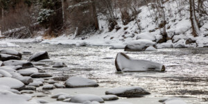
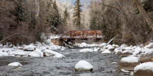
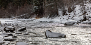
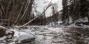
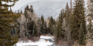
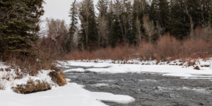
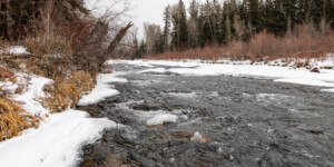
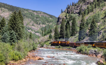
This page features photos of the Roaring Fork River on Colorado’s Western Slope.
The Roaring Fork River runs for 70 miles and is a tributary of the Colorado River. The river begins in the Sawatch Range along the Continental Divide and meets the Colorado River in Glenwood Springs. In between, the Roaring Fork drops 6,000 feet in elevation, passing by Aspen, Basalt (where the Fryingpan River enters) and Carbondale (where the Crystal River enters).
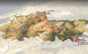
Popular among anglers and rafters, the Roaring Fork drains a watershed that is 1,451 square miles, or about the size of Rhode Island. “The Ute Indians called it ‘Thunder River’ no doubt from the roaring sound it makes during spring runoff,” according to the Roaring Fork Conservancy.
Two major transbasin diversions tunneled through the Continental Divide export water from the Roaring Fork’s headwaters to the Arkansas River Basin. “During spring and summer, as tunnels move water and fill reservoirs, as much as 40% of the water in these headwaters areas is not flowing downstream,” according to the Roaring Fork Conservancy.
| Date | December 23, 2020 |
| Location | Roaring Fork Valley, Colorado (map) |
| Credit | Mitch Tobin/The Water Desk |
| Rights | Free to reuse under Creative Commons license. |
Selected images from the gallery
Click to enlarge
To use these images
Please read and consent to the terms and license below for access to the download page.
To help us continue to offer this free material, we ask that you please:
- Credit the original photographer and the Water Desk as the source
- Email us a link to the published story at waterdesk@colorado.edu
- Consider sending The Water Desk your ideas for future content that we could add to the library
- Keep supporting professional photojournalists by hiring them for assignments


