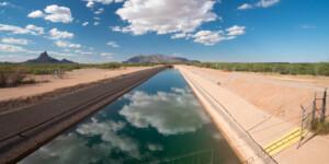
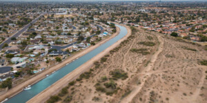
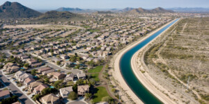
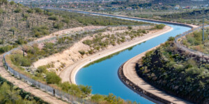
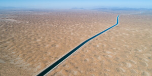
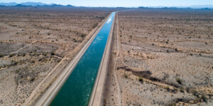
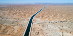
This page features photos of the Central Arizona Project (CAP) canal, a cornerstone of Arizona’s water supply.
Created in 1968 by the Colorado River Basin Project Act, the CAP is a 336-mile canal that delivers water from the Colorado River to central and southern Arizona. Approval of CAP came after decades of litigation and political conflict between Arizona and California. CAP finally began construction in 1973.
At any moment, the CAP system contains about 456 billion gallons of water, over eight billion gallons of which is lost to evaporation and ground-seepage before reaching its destination. CAP water irrigates nearly one million acres of crops and supplies the Phoenix and Tucson metropolitan areas.
Learn More:
- Central Arizona Project
- Colorado River Basin Project Act
- U.S. Department of the Interior: “Managing Water in the West: The Law of the River”
| Date | 2018-2021 |
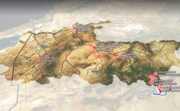
| Location | Central Arizona Project, Arizona (map) |
| Credit | Ted Wood/The Water Desk |
| Rights | Free to reuse under Creative Commons license. |
Selected images from the gallery
Click to enlarge
To use these images
Please read and consent to the terms and license below for access to the download page.
To help us continue to offer this free material, we ask that you please:
- Credit the original photographer and the Water Desk as the source
- Email us a link to the published story at waterdesk@colorado.edu
- Consider sending The Water Desk your ideas for future content that we could add to the library
- Keep supporting professional photojournalists by hiring them for assignments


