
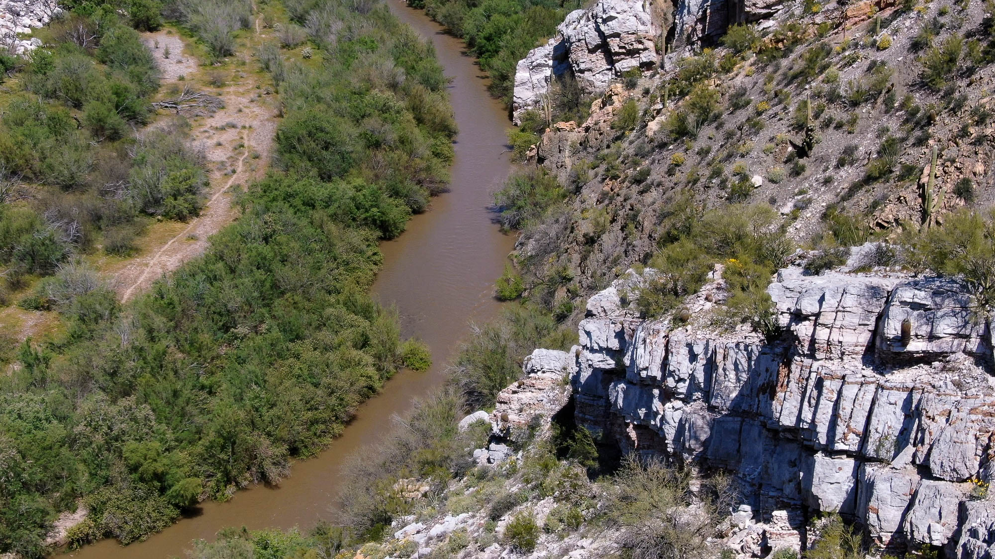
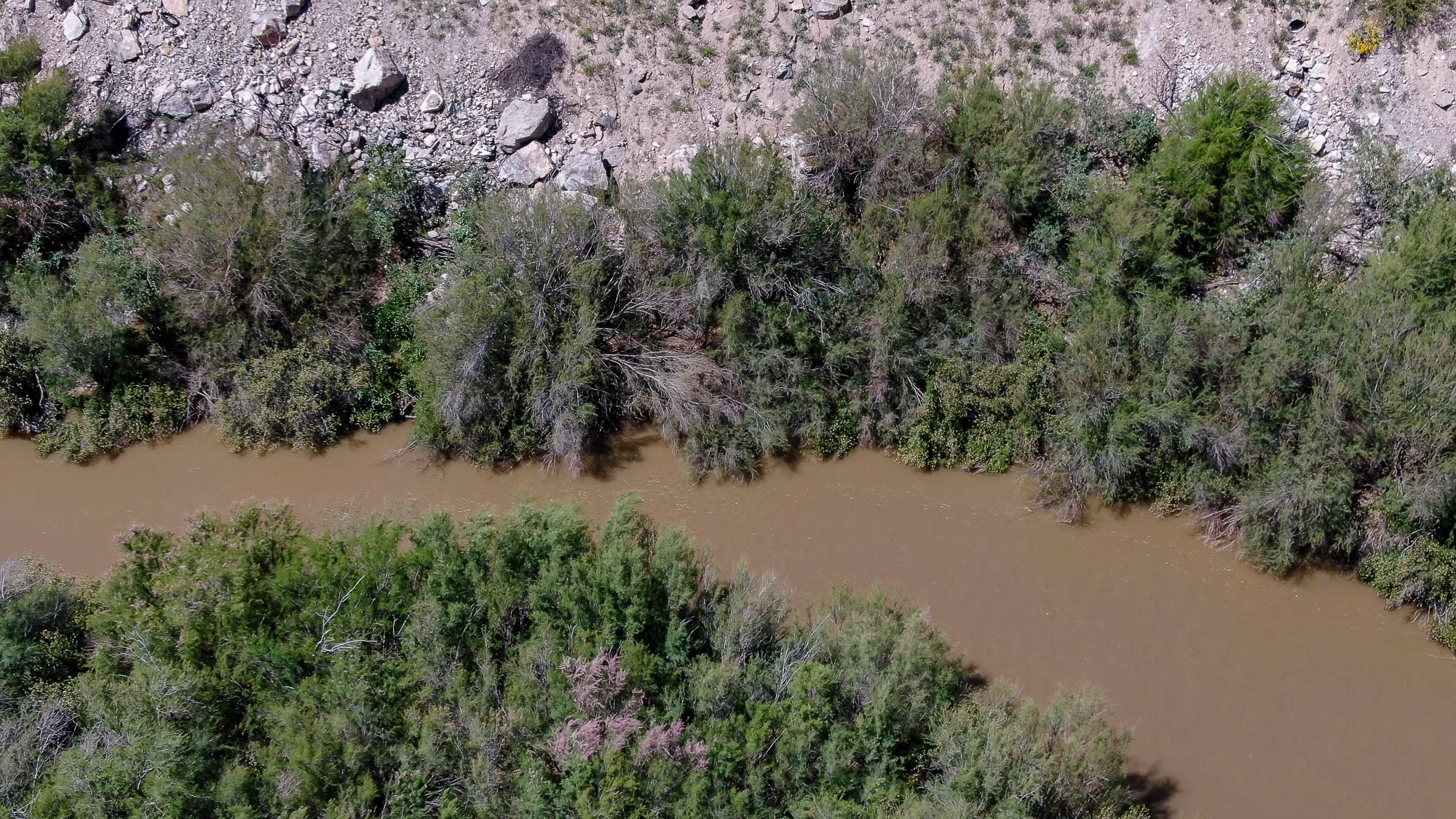
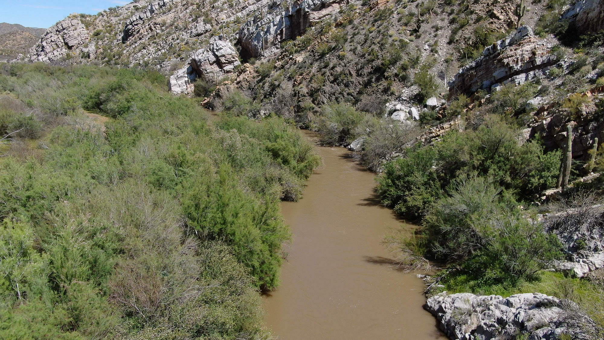
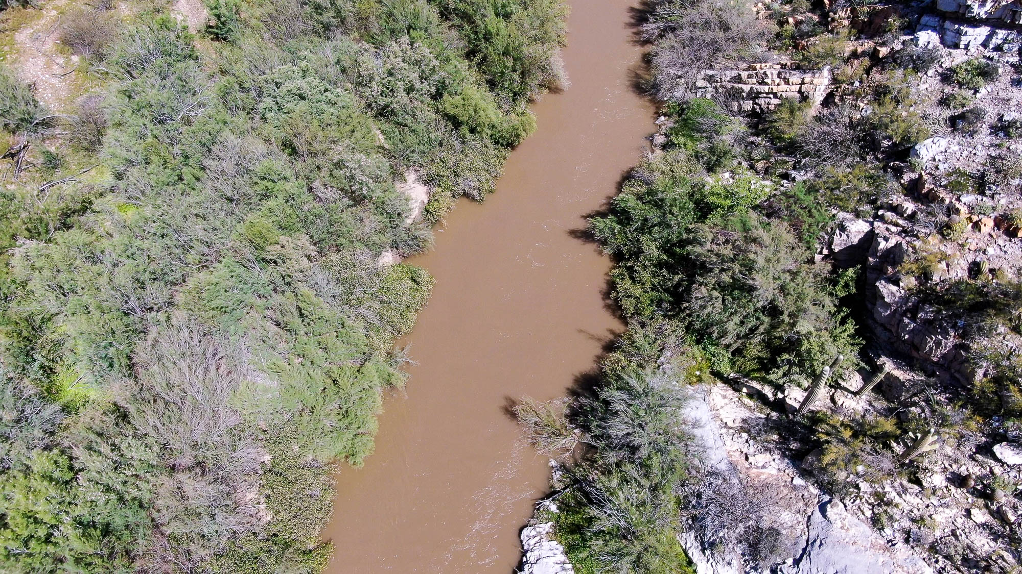
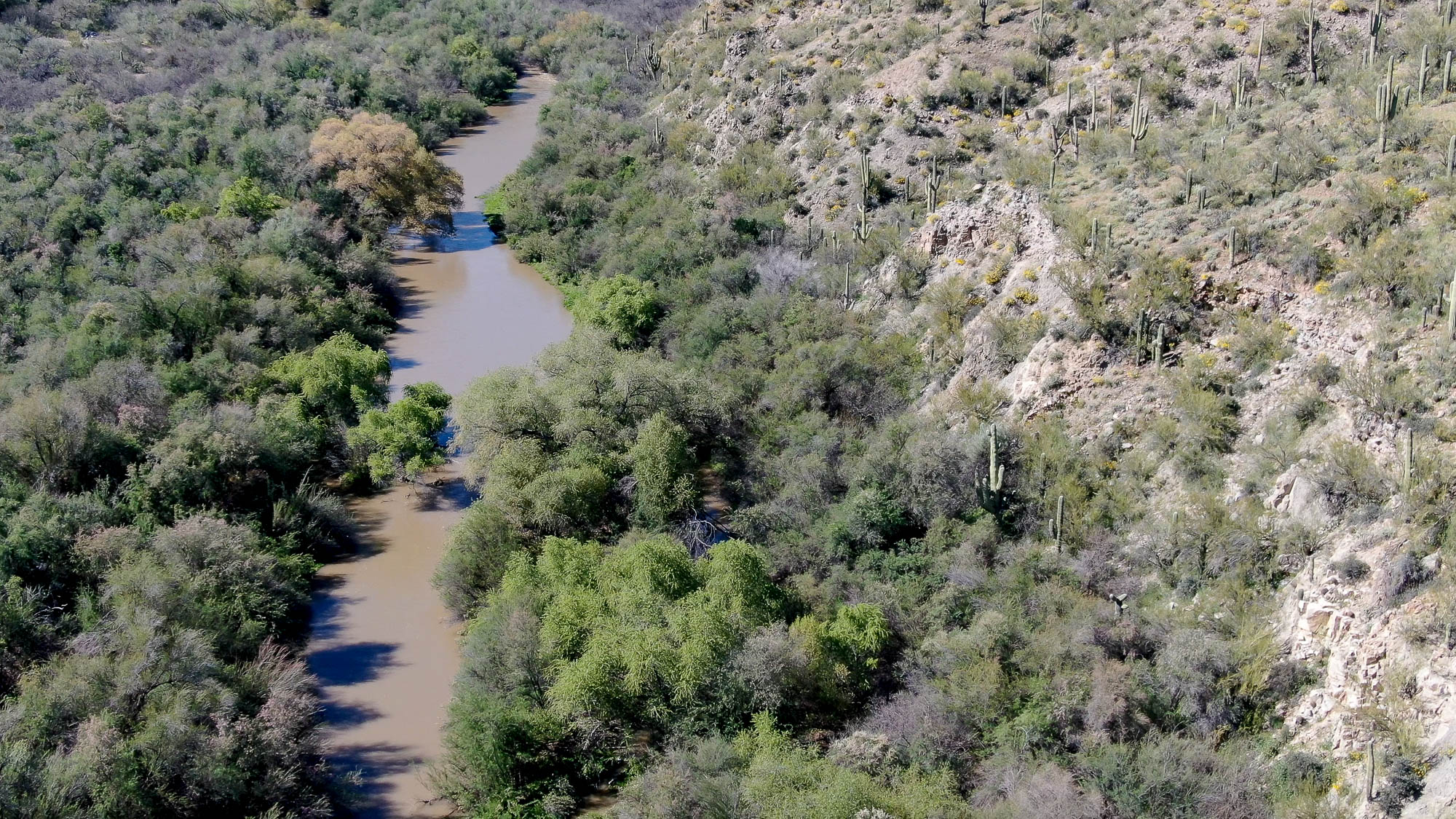
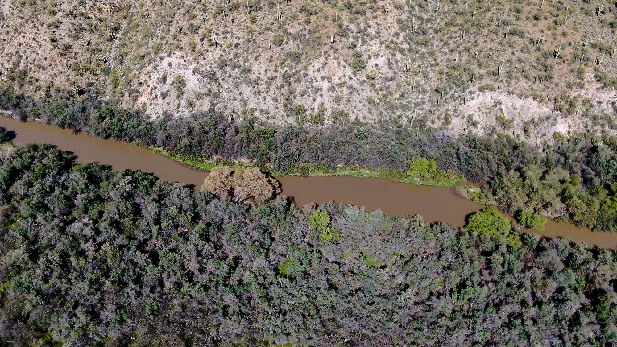
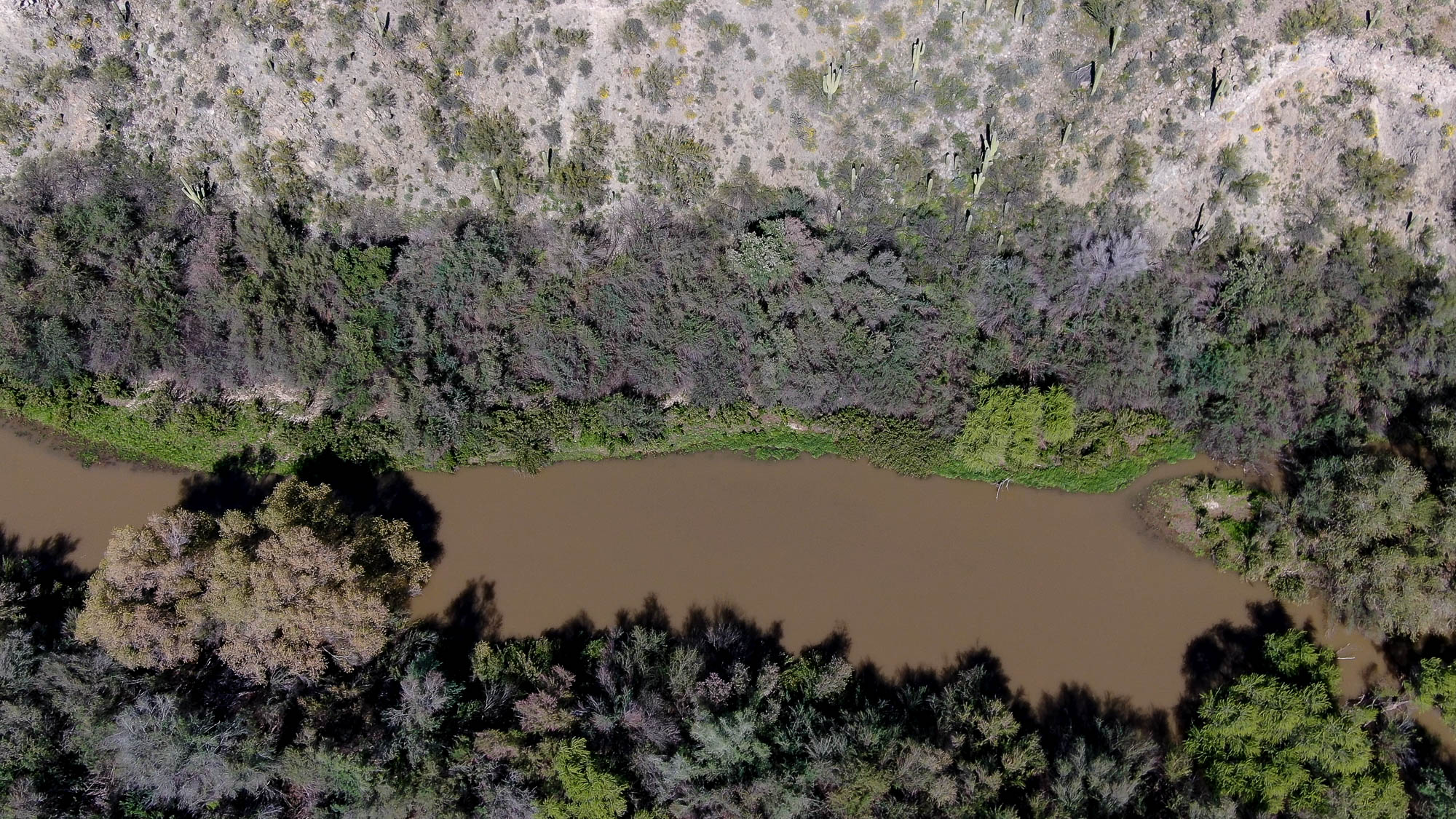
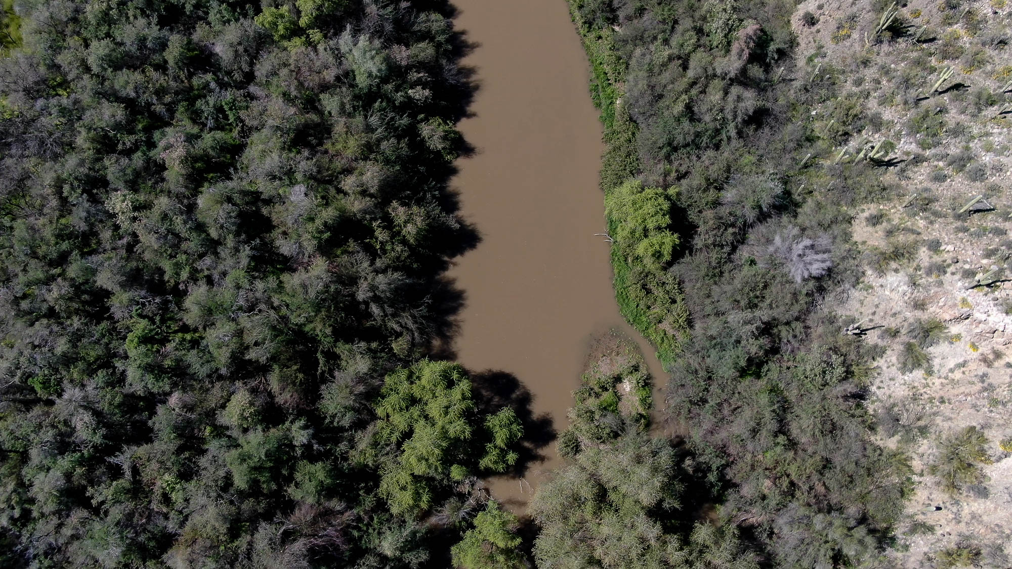
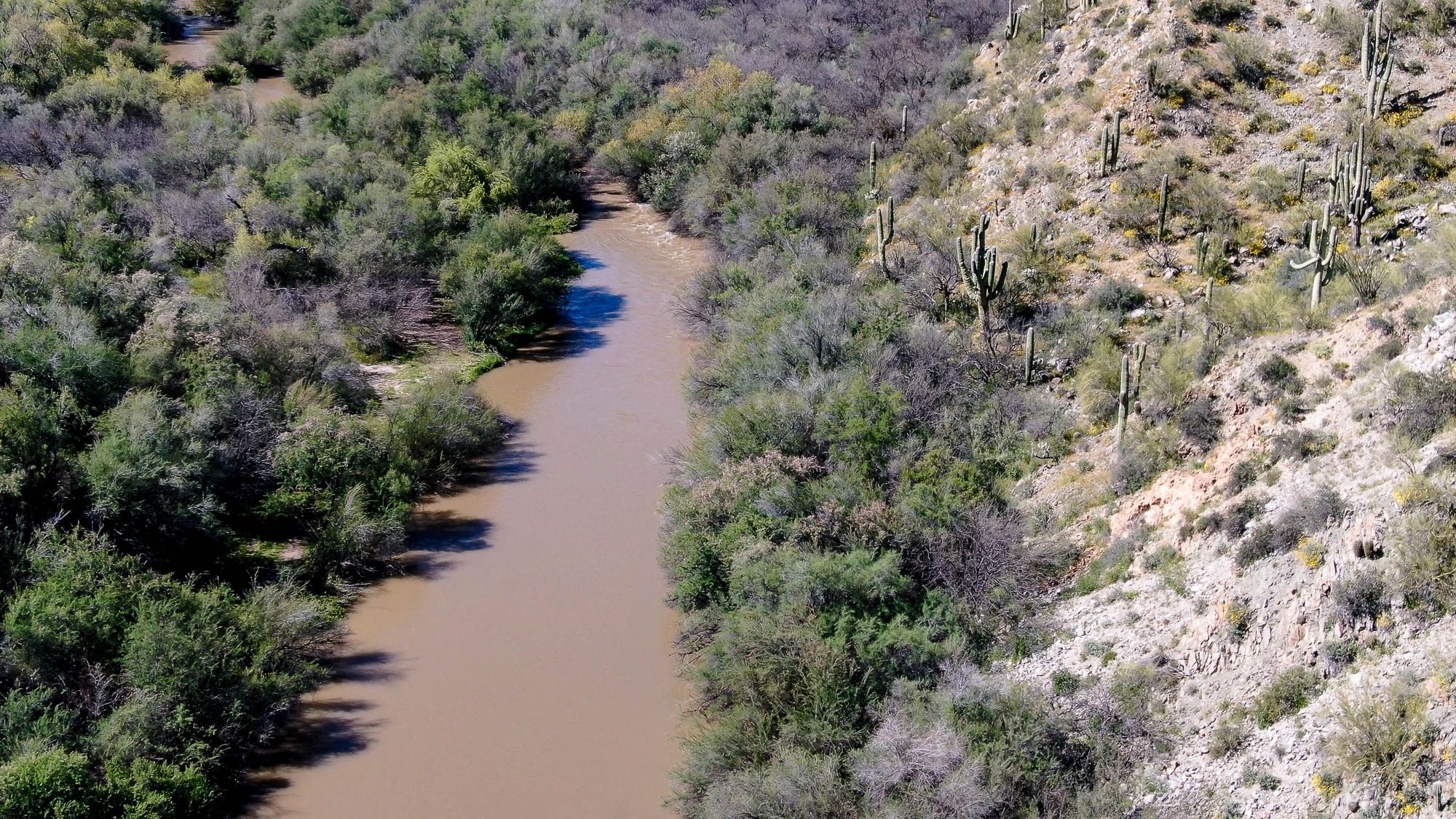
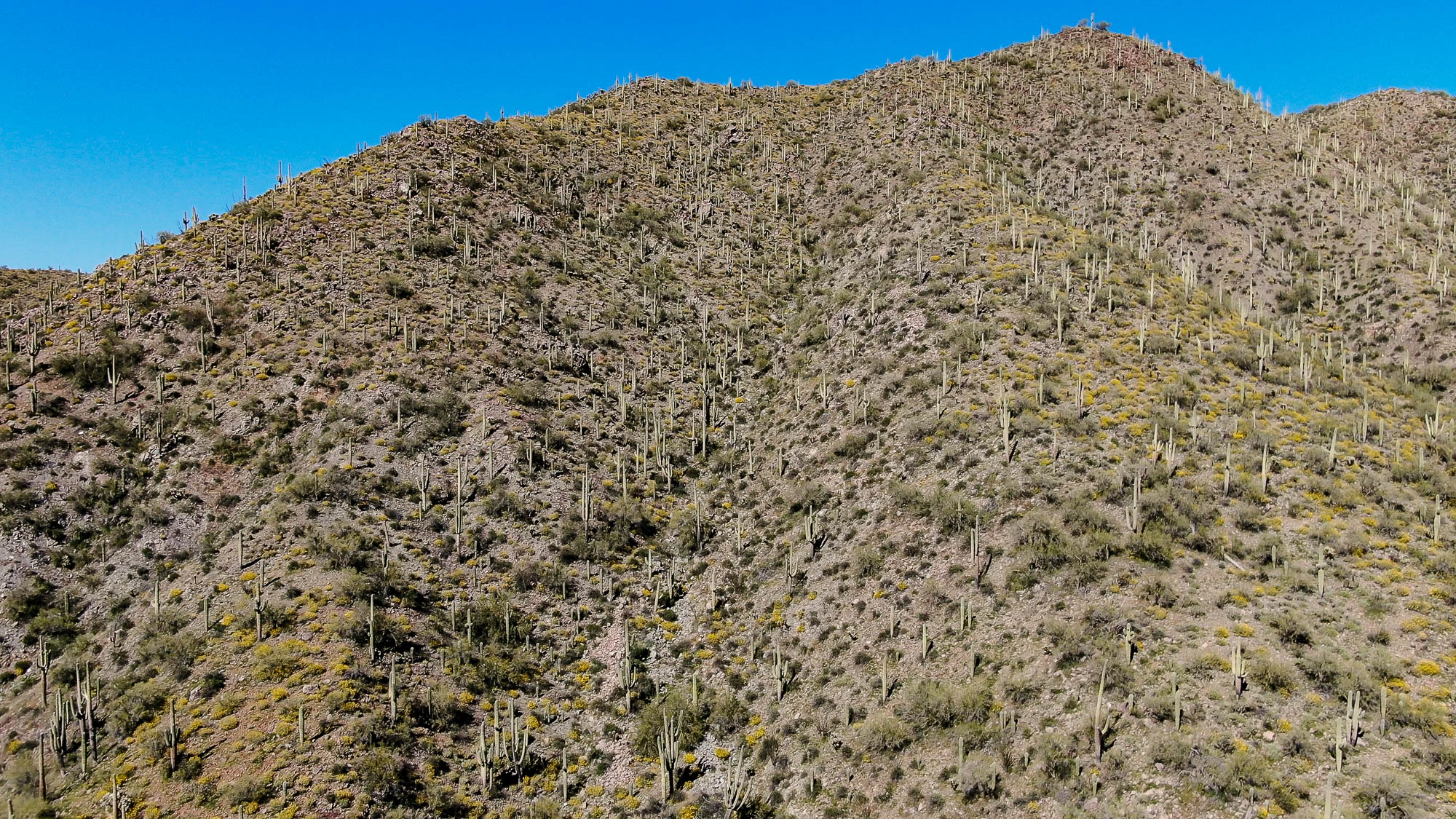
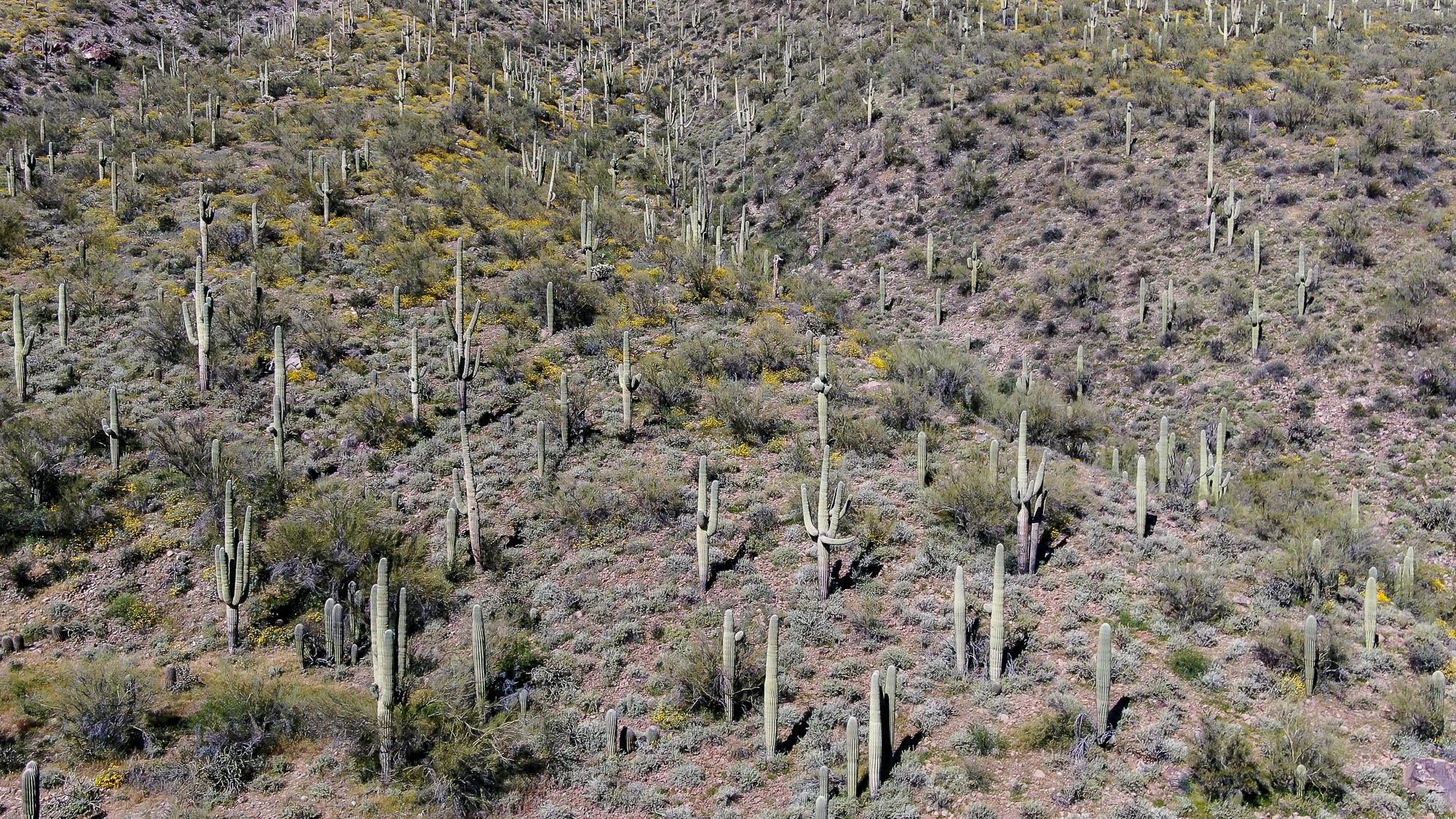
This page features drone footage and still imagery of the Gila River, near Winkelman, Arizona, just upstream from its confluence with the San Pedro River. The Gila is a tributary of the Colorado River that begins in southwest New Mexico. It flows for 649 miles through an arid landscape, meeting the Salt River near Phoenix and the Colorado River near Yuma, Arizona.
| Date | April 1-2, 2020 |
| Location | Gila River near Winkelman, Arizona (map) |
| Photographer | Mitch Tobin, FAA Remote Pilot Certificate #4002345 |
| Organization | The Water Desk at the University of Colorado Boulder |
| Rights | Free to reuse under Creative Commons license, with credit to “Mitch Tobin/waterdesk.org” |


To use these images
Please read and consent to the terms and license below for access to the download page.
The Water Desk’s photo and video resources are part of our efforts to aid and enrich news coverage of Western water issues. Our imagery is shot by professional photojournalists and is available for free reuse under a Creative Commons noncommercial license.
To help us continue to offer this free material, we ask that you please:
To help us continue to offer this free material, we ask that you please:
- Credit the original photographer and the Water Desk as the source
- Email us a link to the published story at waterdesk@colorado.edu
- Consider sending The Water Desk your ideas for future content that we could add to the library
- Keep supporting professional photojournalists by hiring them for assignments
Explore aerial and drone imagery from The Water Desk
All of the content in our multimedia library is available for free download and reuse under a Creative Commons license.


