By Jerd Smith
Water Desk Grantee Publication
This story was supported by the Water Desk’s grants program.
Albuquerque, New Mexico — In late June, the mornings start out at 80 degrees but temperatures quickly soar past 100. Everywhere fields are brown and the high desert bakes in glaring sunlight. But there is one long, narrow corridor of green here: the Rio Grande.
Jason Casuga, CEO of the Middle Rio Grande Water Conservancy District, and Anne Marken, water operations manager, have been watching the river’s water gauges around the clock for days, knowing that entire stream segments below Albuquerque may go dry at any time. If rains come over the weekend, everyone will relax, at least for a while.
If that moisture doesn’t come, Casuga and Marken must move quickly to release to these dry stream segments whatever meager water they can squeeze from their drought-strapped system, giving the U.S. Bureau of Reclamation time to save as many endangered silvery minnow as they can from almost certain death.
“We only have so much time to start the drying operation,” Casuga said, referring to a practice where his district shifts water in its system so that Reclamation can rescue the fish before the stream goes completely dry and leaves them stranded to suffocate.
“If we don’t do it, you might see 30 miles of the entire river go dry. It’s stressful. We’ve been doing this controlled hopscotching for weeks now.”
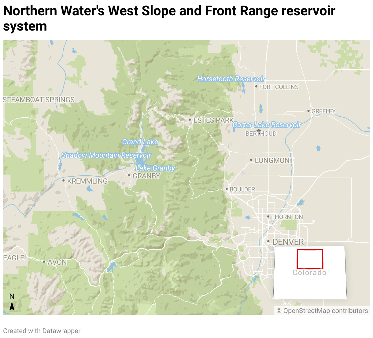
The Middle Rio Grande district, created in 1925, is responsible for delivering waters to farmers as well as helping the state meet its obligations to deliver water to Texas under the 1938 Rio Grande Compact. It coordinates management activity with Reclamation and the U.S. Army Corps of engineers on a river system that includes five major reservoirs and hundreds of miles of canals.
A crippled river
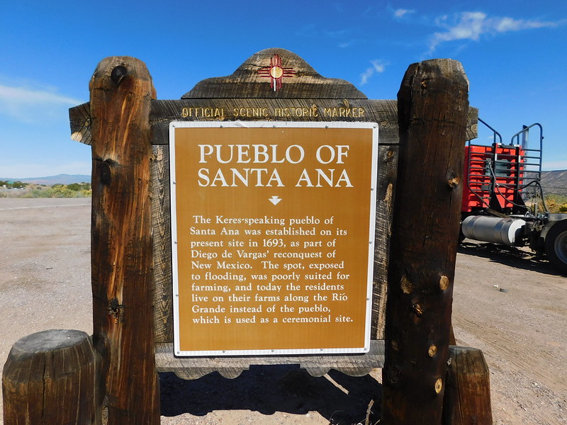
The district’s liquid juggling act is becoming increasingly common, and it is painful for everyone to watch, from the 19 tribes and six pueblos whose homes have lined its banks for thousands of years, to the 6 million people and 200,000 acres of irrigated lands that rely on the river across the three-state river basin.
“The worry is heavy,” said Glenn Tenorio, a tribal member of the Santa Ana Pueblo north of Albuquerque, who also serves as the pueblo’s water resources manager.
Under the terms of the 1938 Rio Grande Compact, Colorado, New Mexico and Texas share the river’s flows before it reaches Mexico. They have watched drought cripple the river, with flows dropping by 35% over the last 20 years.
But unlike other Western states, in New Mexico water users share both supplies and shortages, and that’s a lesson other states might benefit from, experts say. In most Western states where the prior appropriation system, known as first-in-time, first-in-right exists, water users with younger, more junior water rights are routinely cut off in times of shortage, creating expensive, conflict-ridden water management scenarios.
Water scarcity grows
Still, in response to growing water scarcity, Texas sued New Mexico in 2013, alleging that groundwater pumping in the southern part of New Mexico was harming its own share of water in the river. After being heard briefly before a special master for the U.S. Supreme Court last year, the three states—Colorado is also named in the case—agreed to pause the lawsuit while they conduct mediation talks.
Whether the talks will succeed isn’t clear yet. In addition to the groundwater dispute, New Mexico owes Texas roughly 125,000 acre-feet of surface water from the river and, under the terms of the compact, cannot store any water in its reservoirs until Texas is repaid.
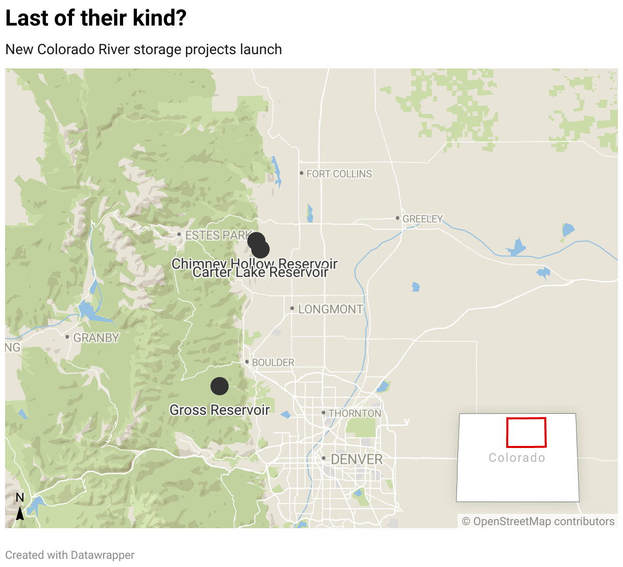
But there is some hope emerging, as Colorado embarks on a $30 million land fallowing program to reduce its Rio Grande water use and as New Mexico seeks new federal rules that will allow it to store more water and re-operate its federal reservoirs.
Page Pegram helps oversee Rio Grande river issues for New Mexico’s Office of the State Engineer. Unlike Colorado, New Mexico has never had the resources to quantify its various water users’ share of the river. Until now, the state has survived on healthy snowpacks and summer rains.
Though the drought has lasted more than 20 years, in the last five years, Pegram has seen the system deteriorate significantly.
“We’re seeing a fundamental change in water availability,” she said. “Suddenly, everything is different. Temperatures are higher, evaporation is higher, and soil moisture is lower. It’s new enough that we can’t pinpoint exactly what’s happening and we don’t have time to study the issue. It’s already happened.”
In the beginning
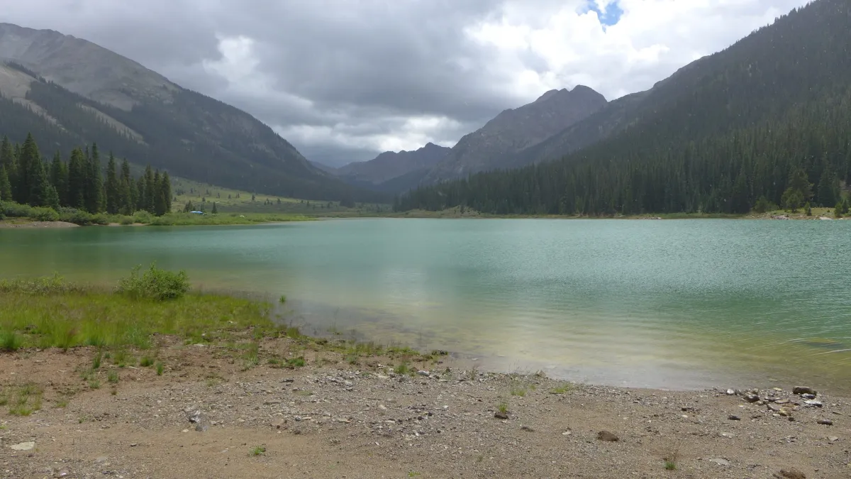
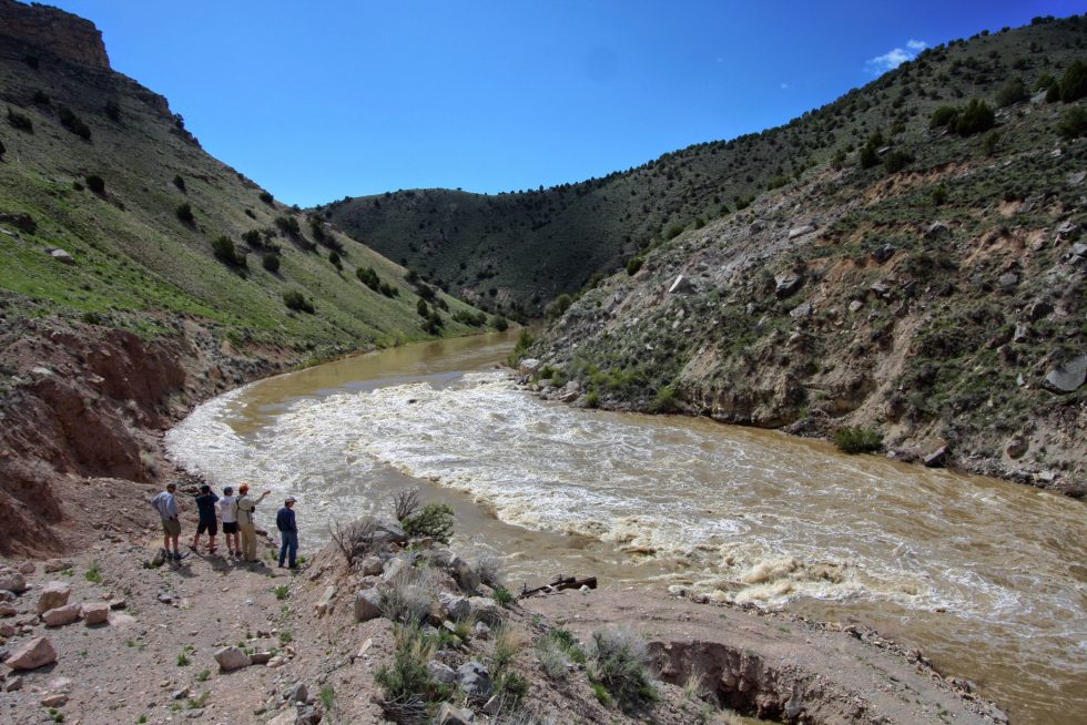
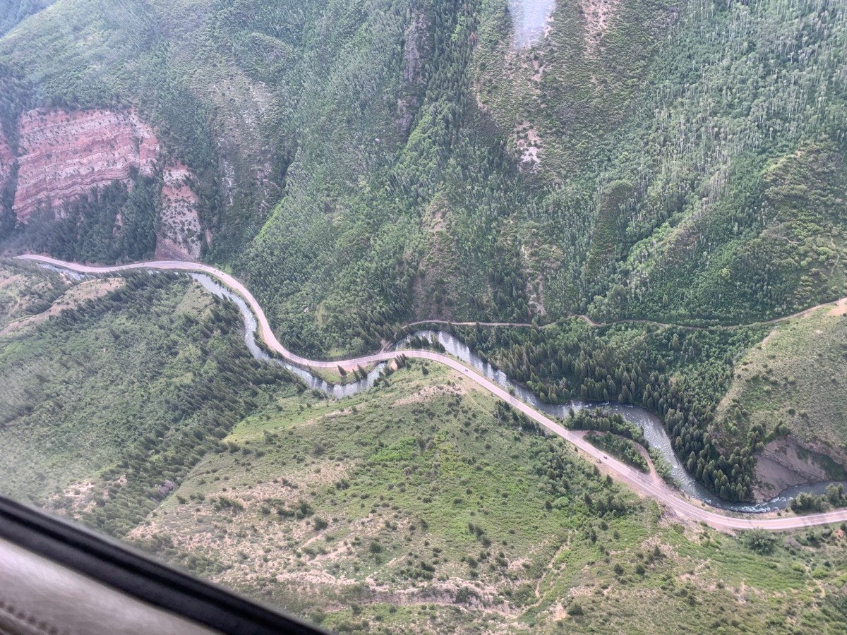
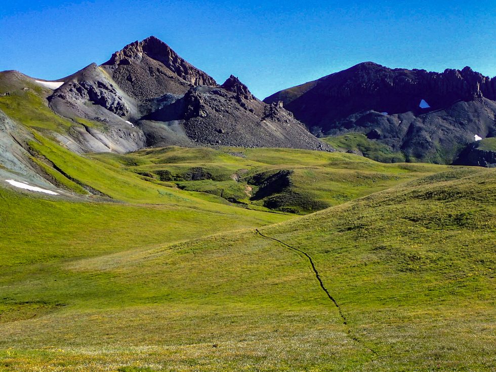
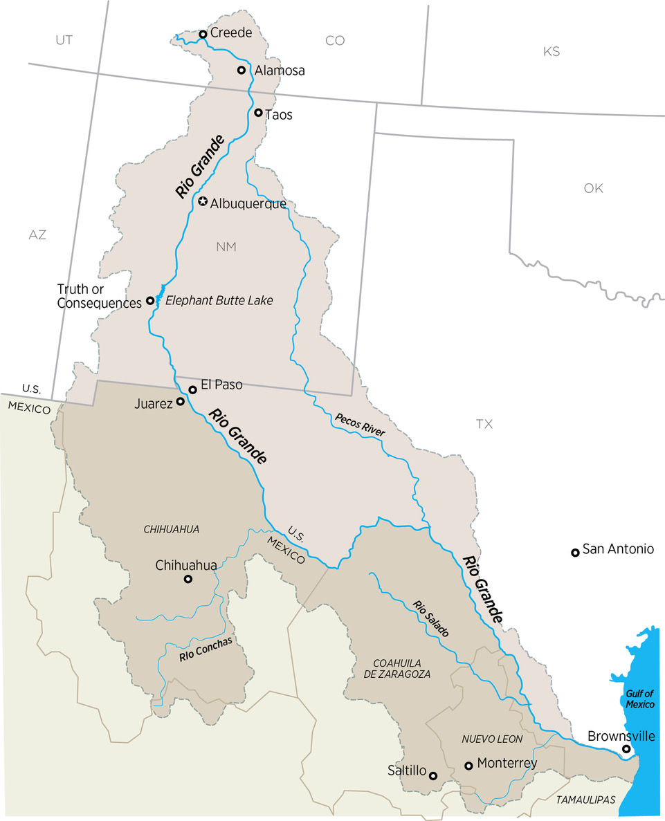
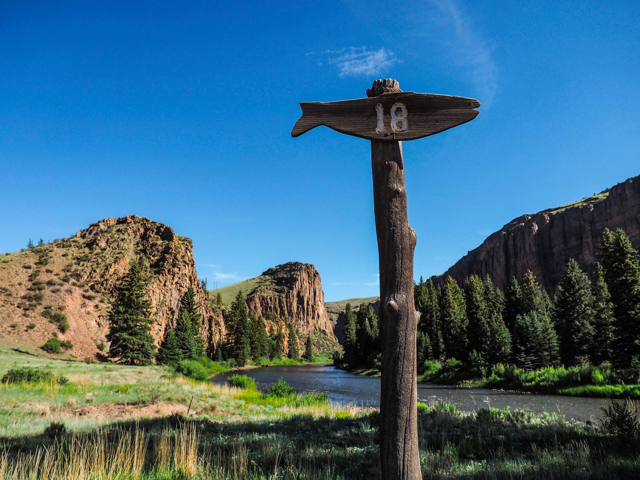
The Rio Grande has its genesis in the lush high mountain tundra above Creede, Colo., flowing down through Monte Vista and Alamosa, making its way along Highway 287, crossing the Colorado state line as it flows toward Santa Fe and Albuquerque, then dropping down to the tiny town of Truth and Consequences before it hits the Texas state line. At that point it travels through El Paso and forms the border between Texas and Mexico until it hits the Gulf of Mexico.
It is in the headwaters region in Creede where the majority of its flows originate. And while the hay meadows outside Creede are lush, and the streams cold and full, water has become so scarce even here that if homeowners want to drill a water well, they have to buy water rights from elsewhere to ensure those farther downstream on the river have adequate supplies.
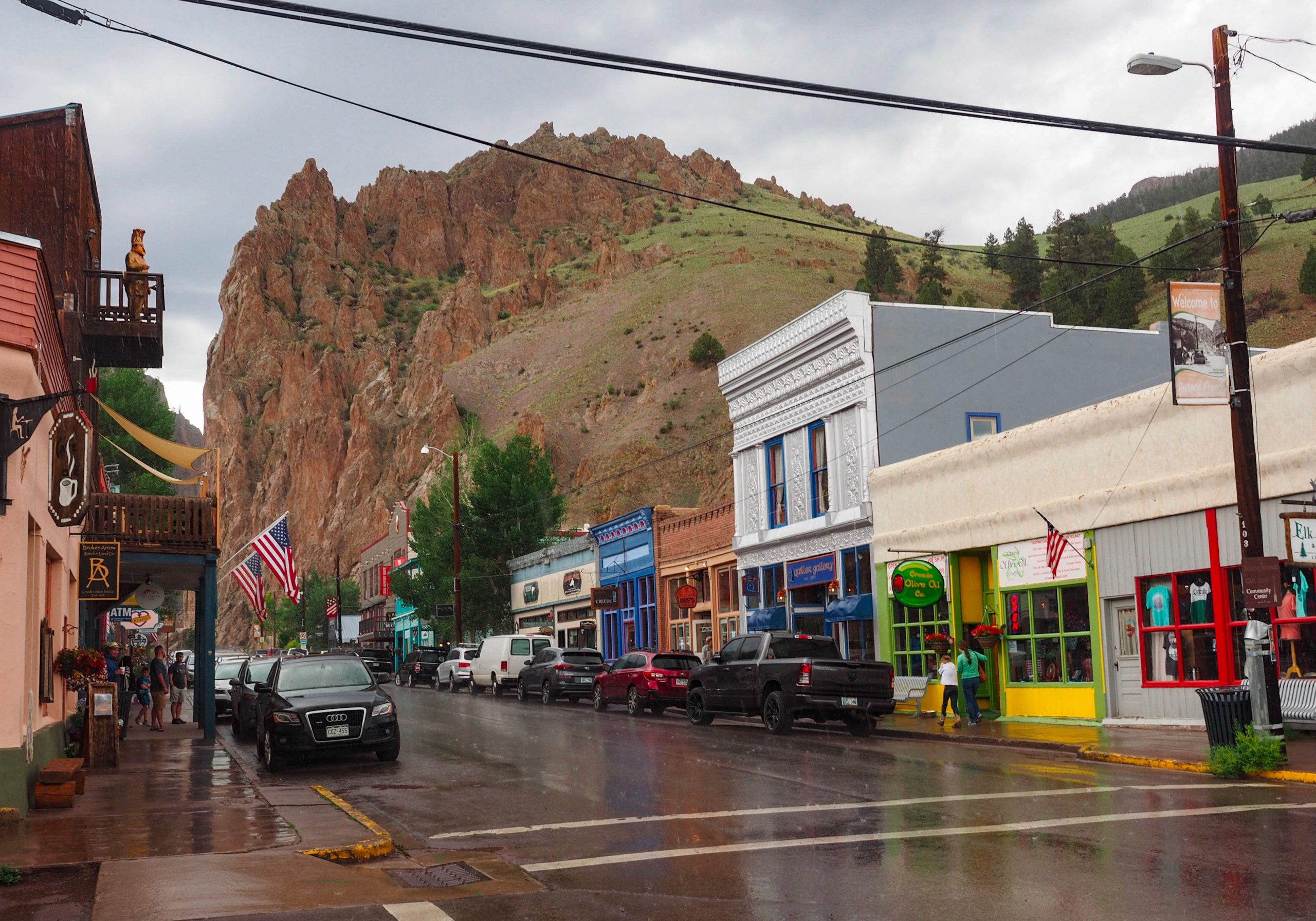
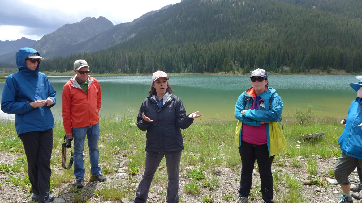
Zeke Ward has lived in Creede for some 40 years, and has served on citizen advisory boards that oversee the river, water quality, and mine residue cleanup efforts.
He said the headwaters area has largely been protected from the most severe aspects of the mega-drought gripping the Rio Grande Basin and much of the American West because there are few people here and 80% of the land is owned by the U.S. Forest Service.
Still, he says, the river is vital to the region’s small tourist economy. “We don’t have a ski area,” he said. “So we have to make a living in 100 days, and that’s not easy.”
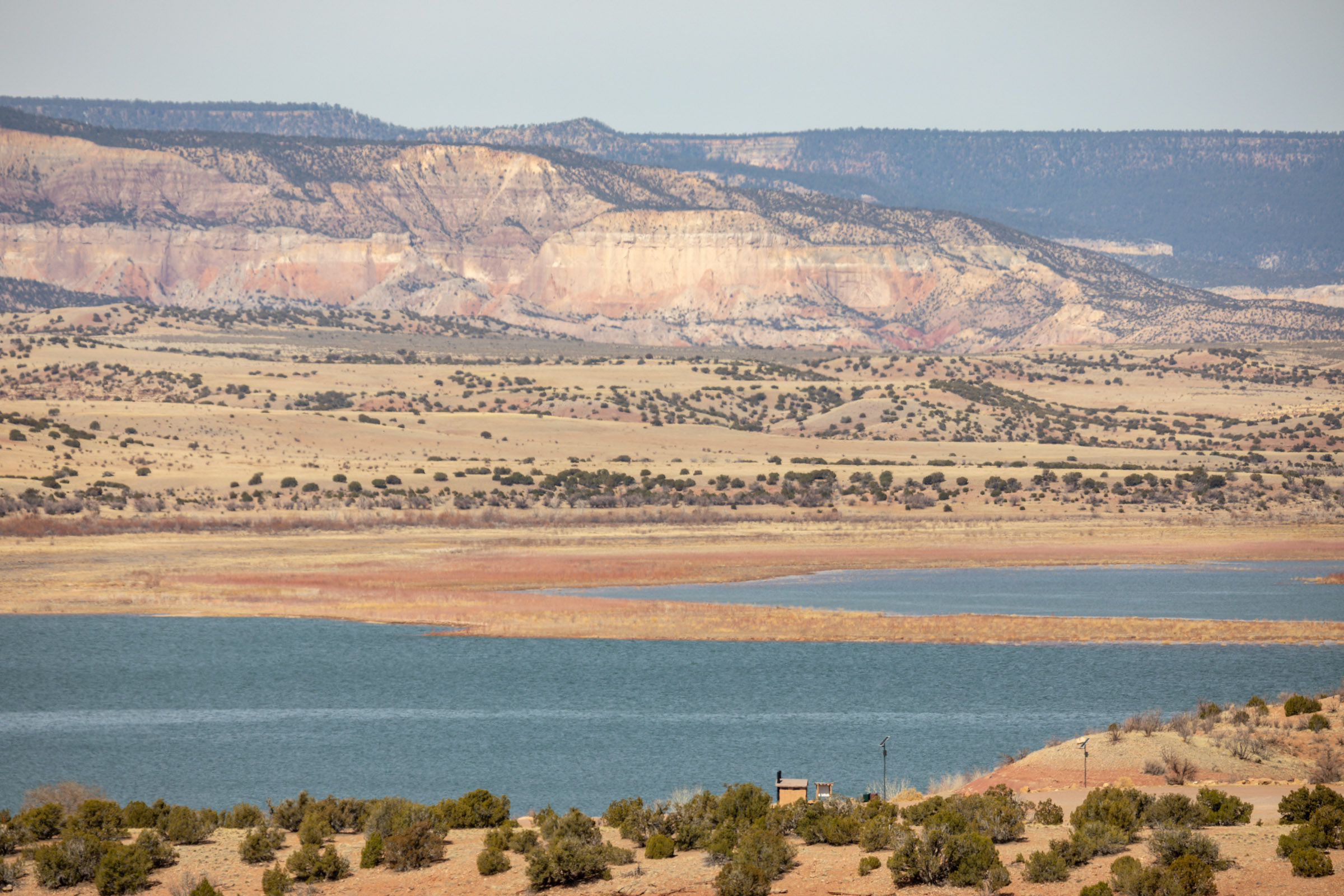
Follow the river below Creede and soon you enter the San Luis Valley, where irrigated agriculture dates back at least to the 1500s and where the combination of drought and overpumping have sapped an expansive, delicate series of aquifers. So much water has been lost that the state has issued warnings that it will begin shutting wells down if the aquifer, which is fed from the Rio Grande and its tributaries, is not restored within 10 years.
Craig Cotten is the top Colorado regulator on the Rio Grande and has overseen state and community efforts to make sure Colorado can deliver enough water to fulfill its legal obligations to New Mexico and Texas.
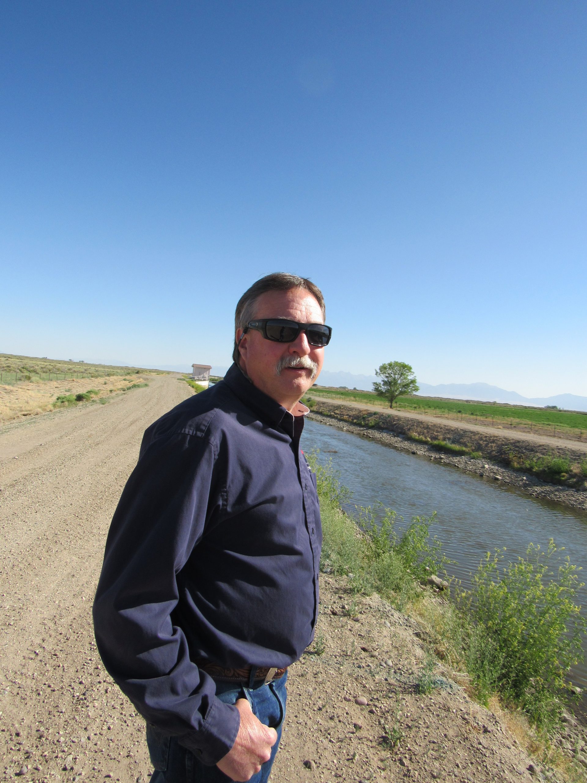
To do so, Cotten routinely cuts water supplies to growers, based on where they fall in the valley’s system of water rights. Right now, Colorado is meeting its compact obligations, but the cost to the valley is high and the cost of failure higher still.
“The farmers are struggling with reaching sustainability,” Cotten said. “If they don’t get there, wells will be shut down.”
But Cotten said he is cautiously optimistic that the Rio Grande can be brought back to health as the climate continues to dry out, in part because there are new tools to manage its lower flows more precisely, including sophisticated airborne measuring systems that show with greater accuracy how much snow has fallen in remote areas and how much water that snow contains.
Knowing more precisely how much water is in the system means the state can capture more when flows are higher, and see more accurately when streamflows will drop. Previously, snow-water estimates have varied widely, miscalculating by as much as 70% or more how much water is in a given mountain region.
In addition, this year Colorado lawmakers approved $30 million to begin a program that will pay San Luis Valley farmers to permanently fallow their lands, something that will relieve stress on the aquifer and the Rio Grande and which could stave off a mass well shutdown.
Plenty to learn
Cleave Simpson manages the Rio Grande Water Conservation District in Alamosa and is also a Colorado state senator.
He believes that the work on the upper Rio Grande holds important lessons for the three states sharing its water and others in the American West.
The people of the Rio Grande Basin have been living with whatever the river can produce for years now, and effectively sharing in any shortages. In addition, though the San Luis Valley aquifers are deteriorating, the farmers in the region have taxed themselves and used some $70 million from those tax revenues to fallow land, something that more and more experts agree will need to be done everywhere, including in the crisis-ridden Colorado River Basin.
“You don’t have very far to look to see your future on the Colorado River,” Simpson said. “Just look at the Rio Grande.”
Farmers in the San Luis Valley, including Simpson, are also testing new crops, such as quinoa and industrial hemp, which use less water than potatoes, a longstanding local mainstay.
“I don’t think I can keep doing what our family has been doing for four generations,” Simpson said. “I raise alfalfa because my dad and my grandpa did. But now I am raising 50 acres of industrial hemp for fiber … it certainly uses less water than my alfalfa crop.”
Daily prayers
The work in the San Luis Valley, including the new $30 million paid fallowing program, is a major step toward bringing the Rio Grande Basin back into balance.
And while “fallowing” is a term somewhat new to the water world, it is a management practice some of the oldest users of the river, its tribes, have practiced for millennia.
Tenorio’s family has lived in Santa Ana Pueblo for thousands of years. He said tribal members have learned to balance their needs with whatever the river provides. These days that’s not easy, but he said they focus on the future, to ensure their communities can grow and that their irrigated lands continue to produce the corn, melons, grains, beans and alfalfa that they’ve raised as long as anyone can remember.
“We only can do with what we’re given from Mother Nature,” Tenorio said.
Like other tribes in New Mexico, the Santa Ana Pueblo’s water rights have never been quantified, but because they are so old, they get their water first based on how much is available.
Looking ahead, Tenorio is hopeful that better coordinated use of New Mexico’s few reservoirs, as well as more efficient irrigation systems, will allow everyone to adapt to the drier environment.
“We pray every day for our farmers and everyone who lives on the river,” he said.
Unlocking manmade infrastructure
Casuga, of the Middle Rio Grande Conservancy District, describes himself as the CEO of bad news. But he said he has some hope that the river can be better managed.
If new rules to operate the federal reservoirs are eventually approved, he says New Mexico could easily meet its water obligations to Texas. An effort is now underway in Washington, D.C., to make that happen.
“This river is highly developed from a human standpoint,” Casuga said. “We as men impact the river so we have to unlock this manmade infrastructure to help it.”
Until then though, the day-to-day reality of operating the river remains complex. In June, when the temperatures were soaring, the rain did come, but it offered only a brief respite for the Rio Grande.
This week, as the searing heat returned, the river began drying out, forcing Casuga and Marken to launch their elaborate hopscotch game again.
Jerd Smith is editor of Fresh Water News. She can be reached at 720-398-6474, via email at jerd@wateredco.org or @jerd_smith.
This reporting was made by possible by a grant from the CU Water Desk.
Fresh Water News is an independent, nonpartisan news initiative of Water Education Colorado. WEco is funded by multiple donors. Our editorial policy and donor list can be viewed at wateredco.org
The Water Desk’s mission is to increase the volume, depth and power of journalism connected to Western water issues. We’re an initiative of the Center for Environmental Journalism at the University of Colorado Boulder. The Water Desk launched in April 2019 with support from the Walton Family Foundation. We maintain a strict editorial firewall between our funders and our journalism.