

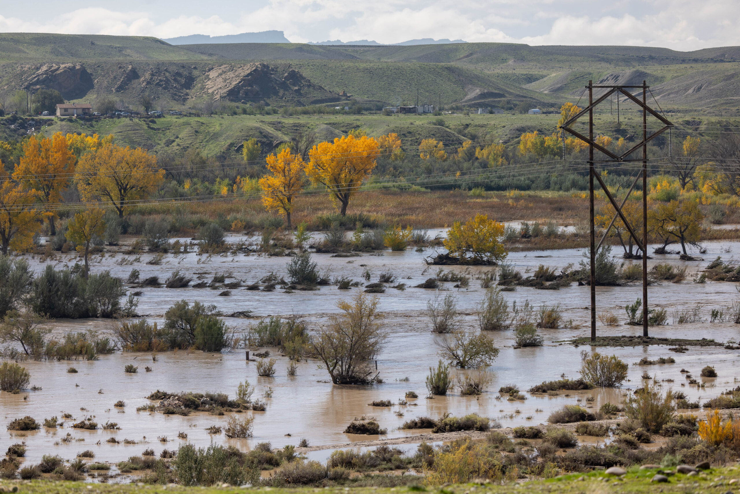
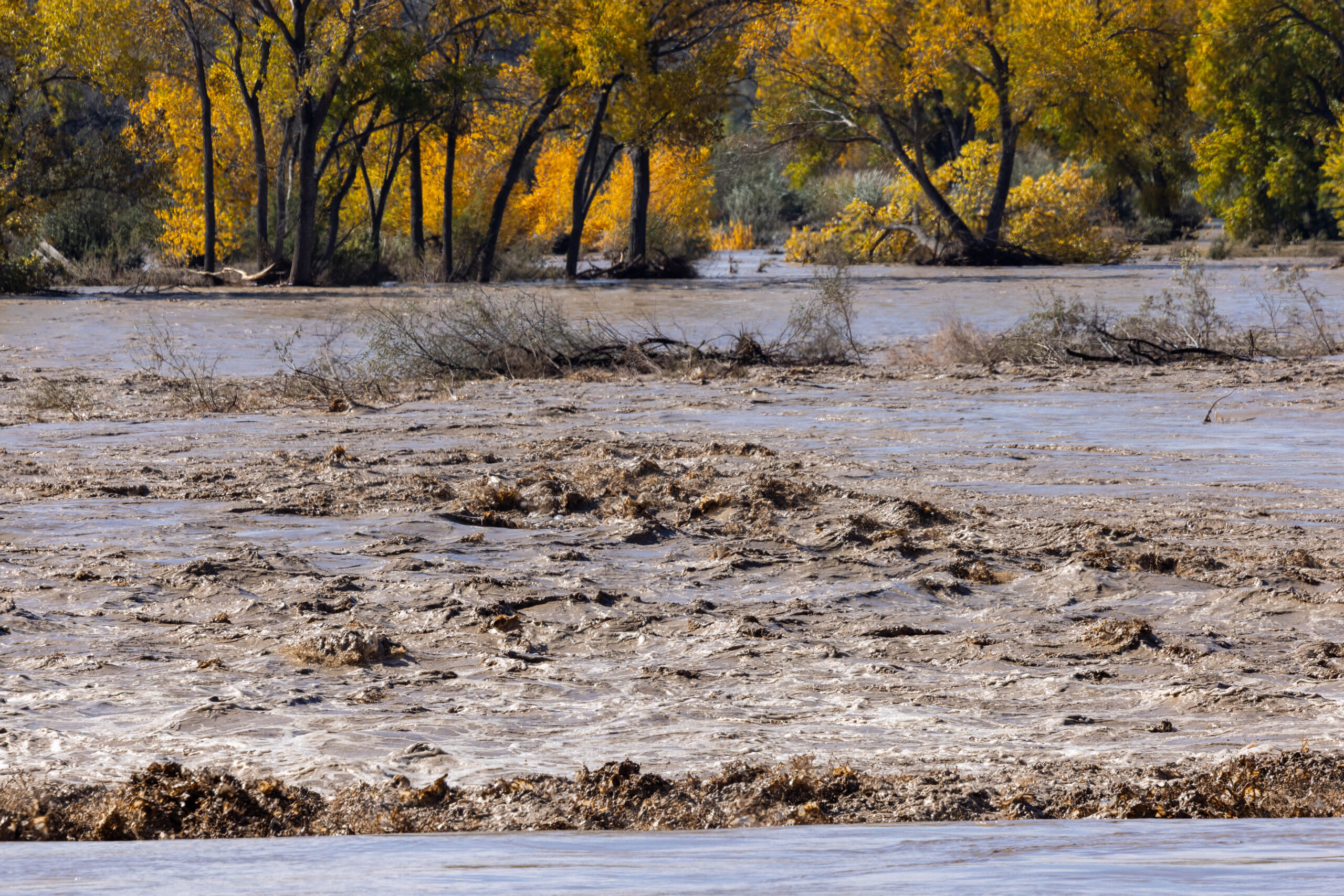
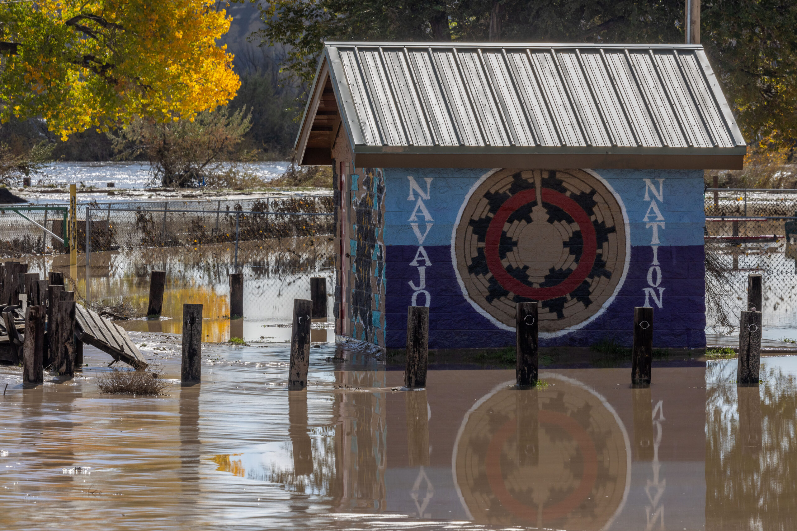
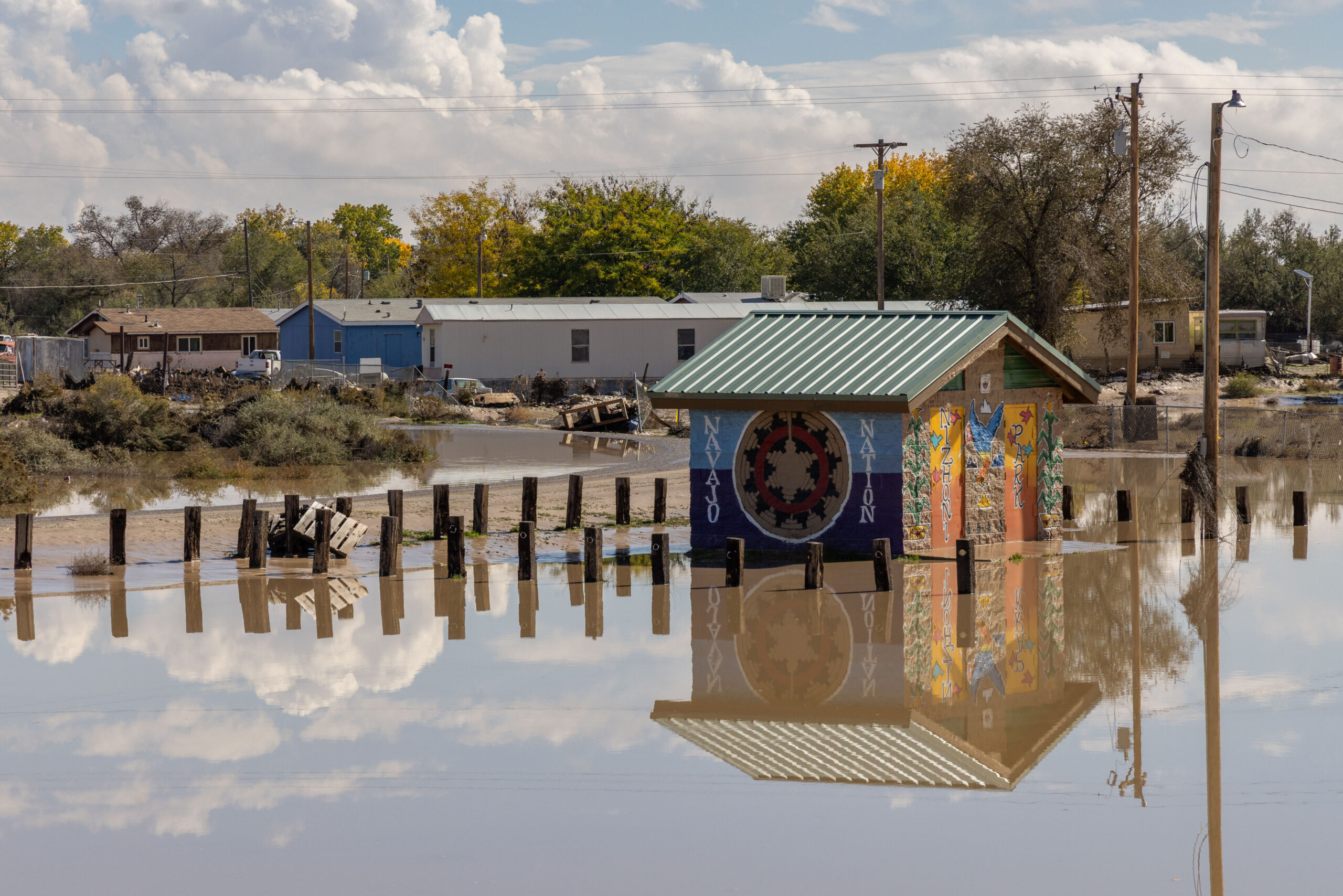
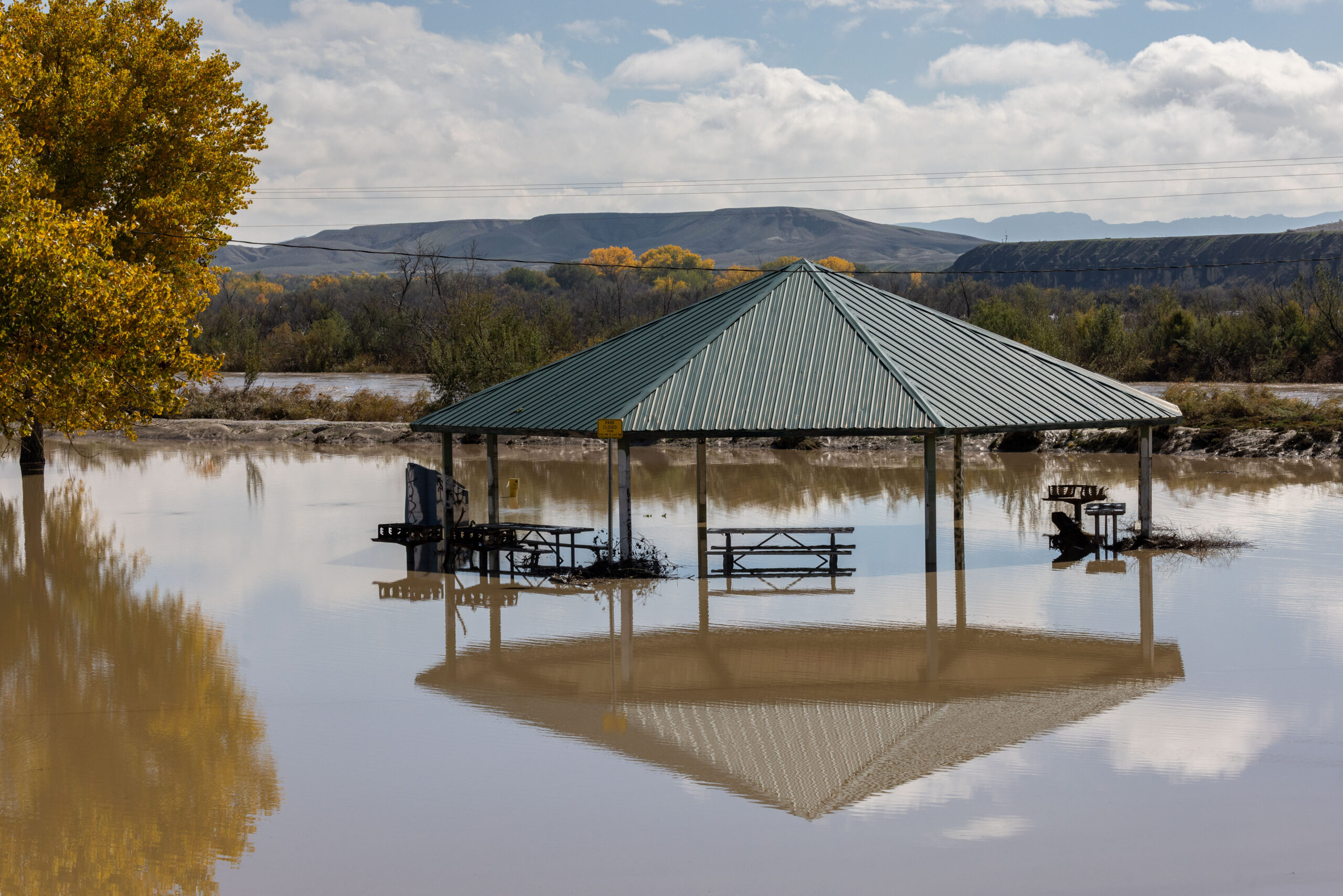
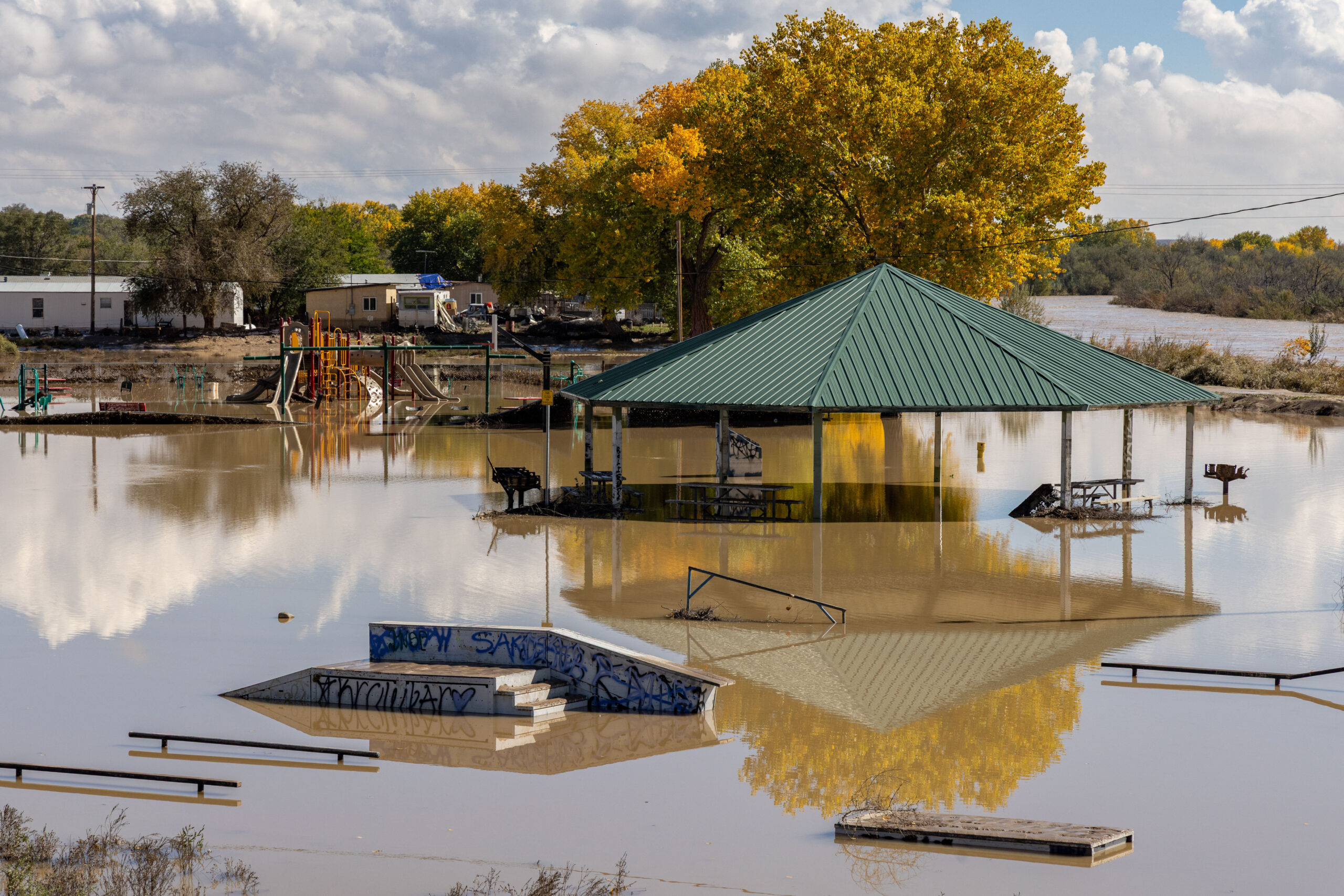
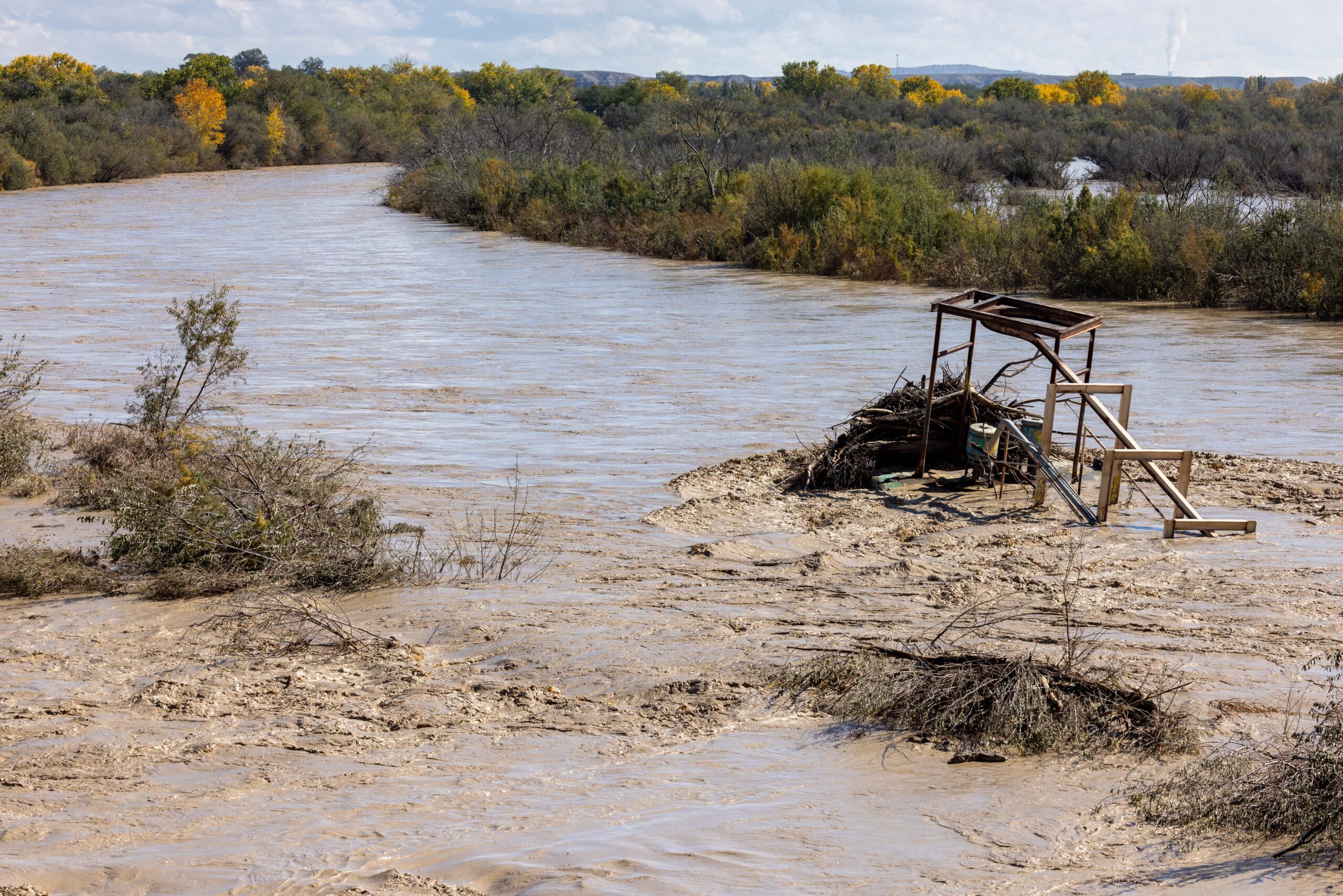
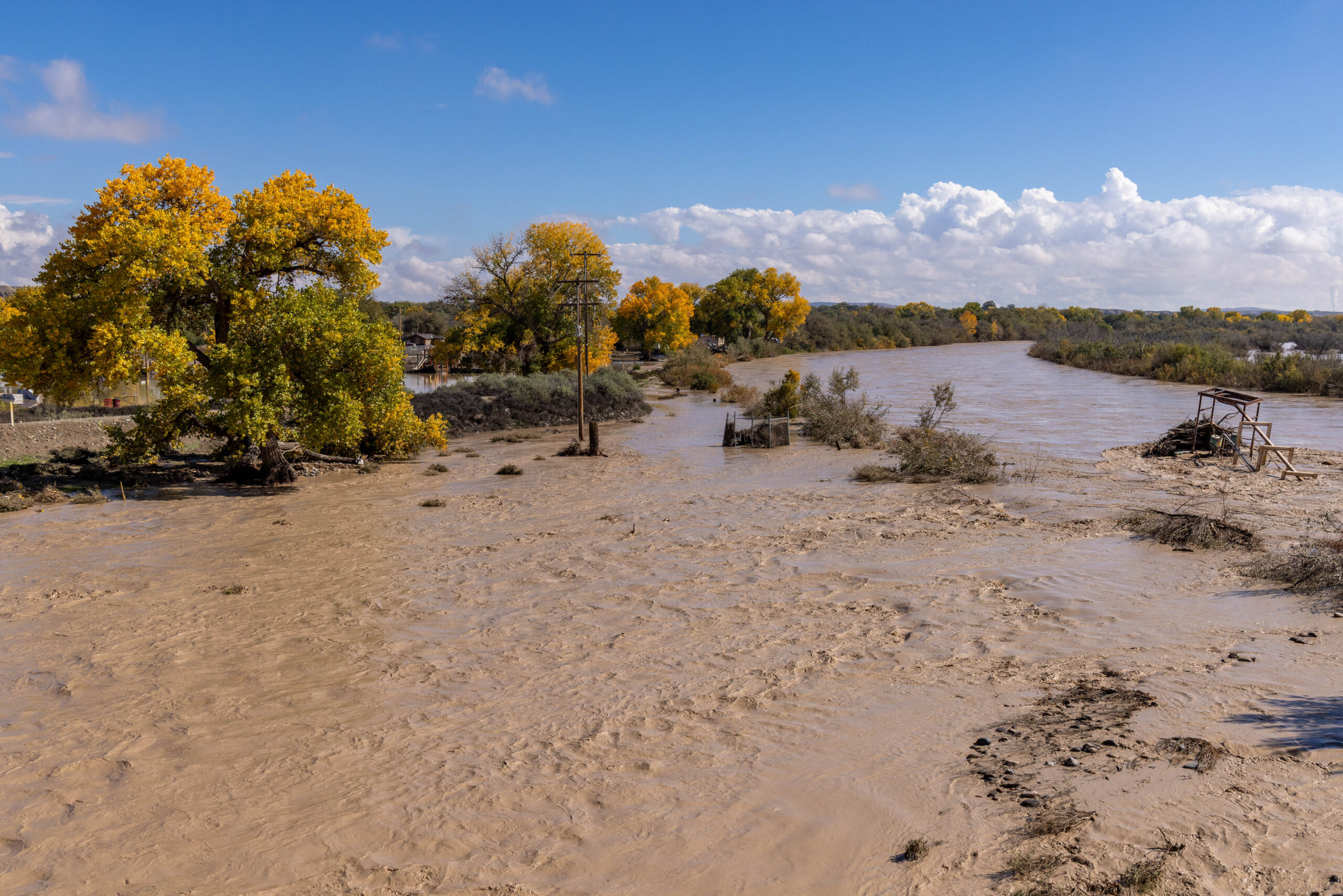
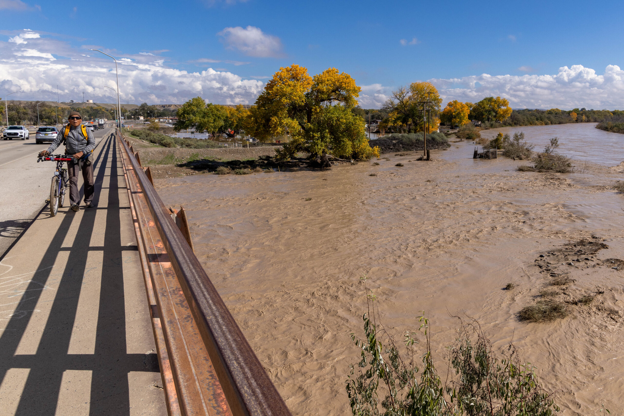
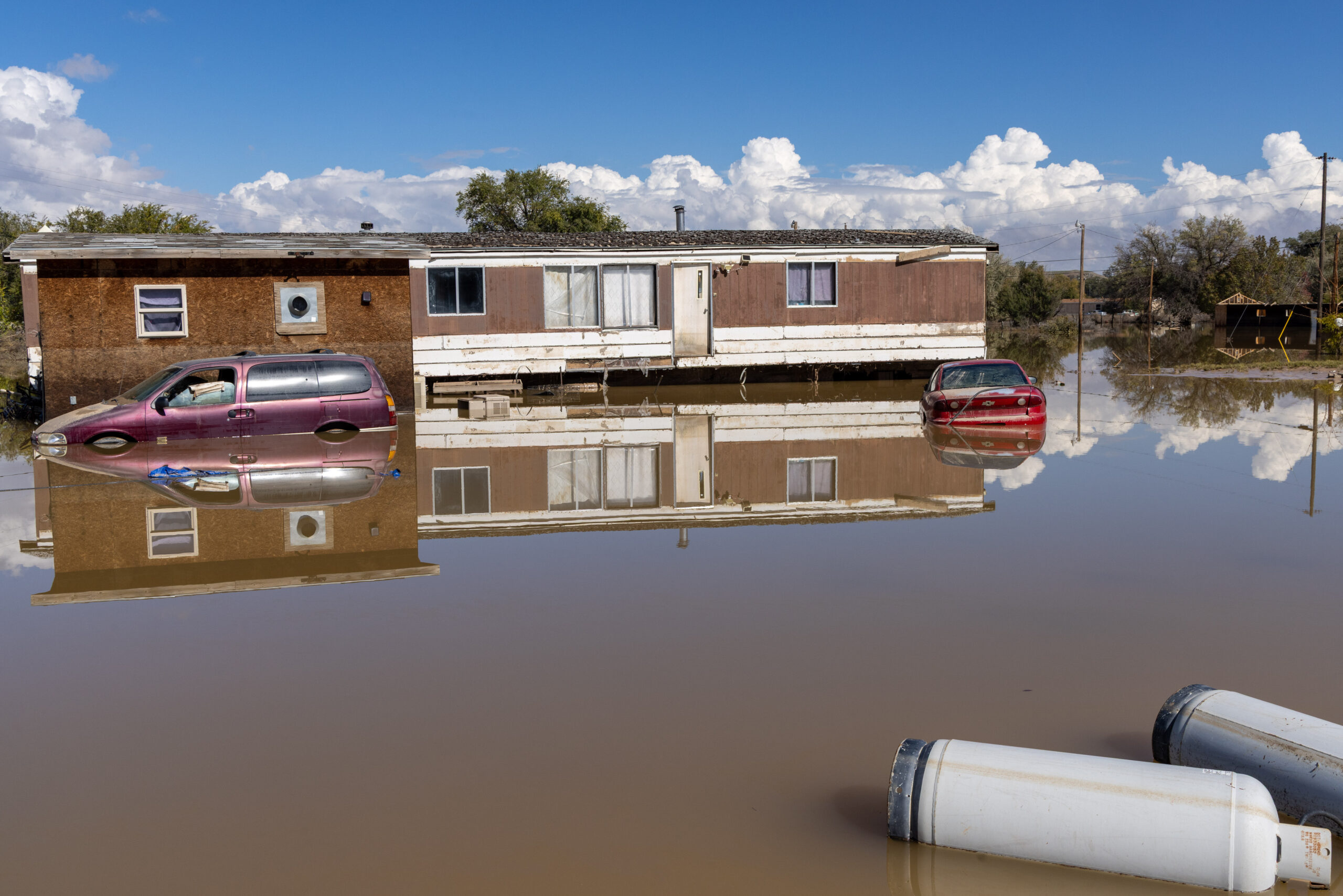
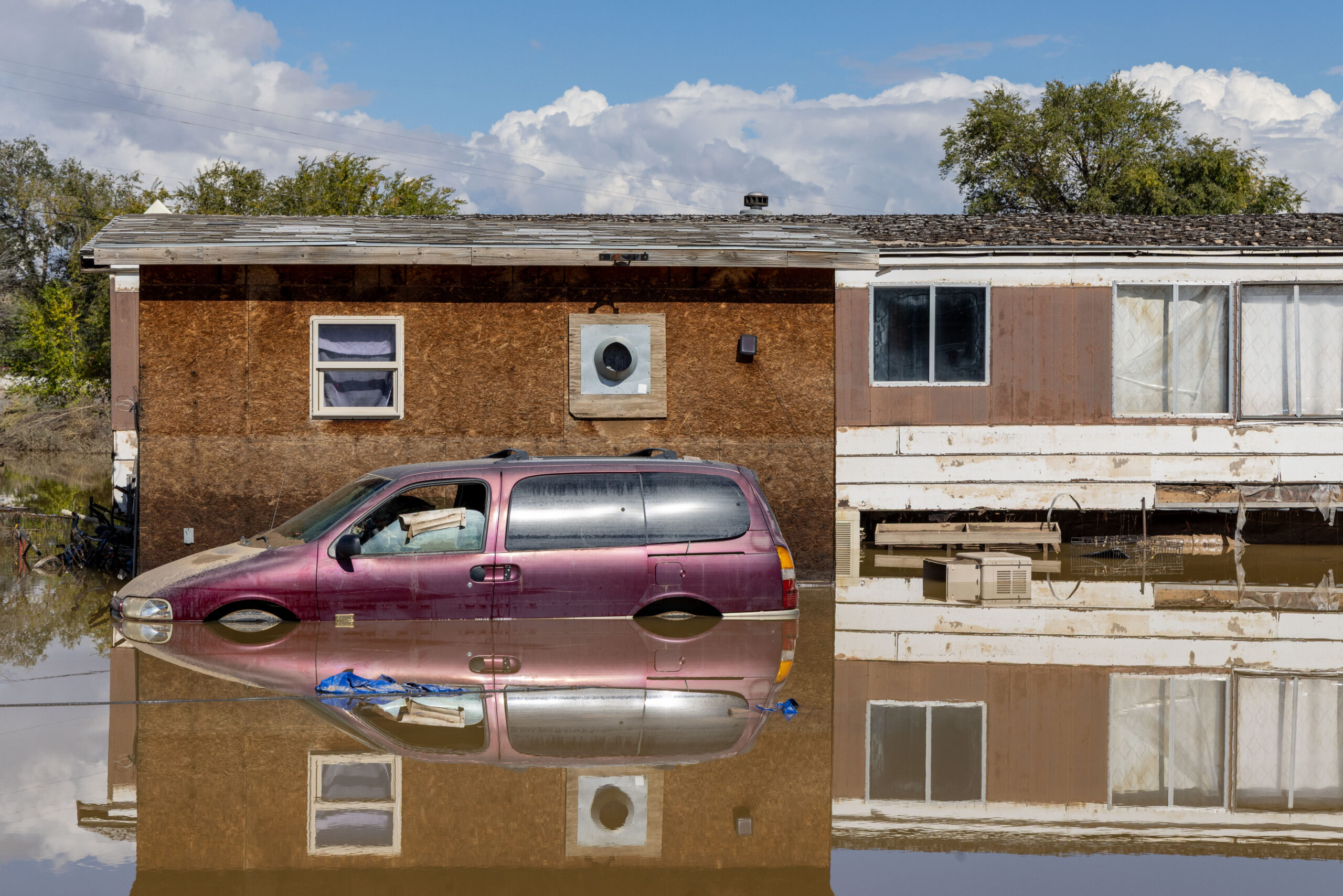
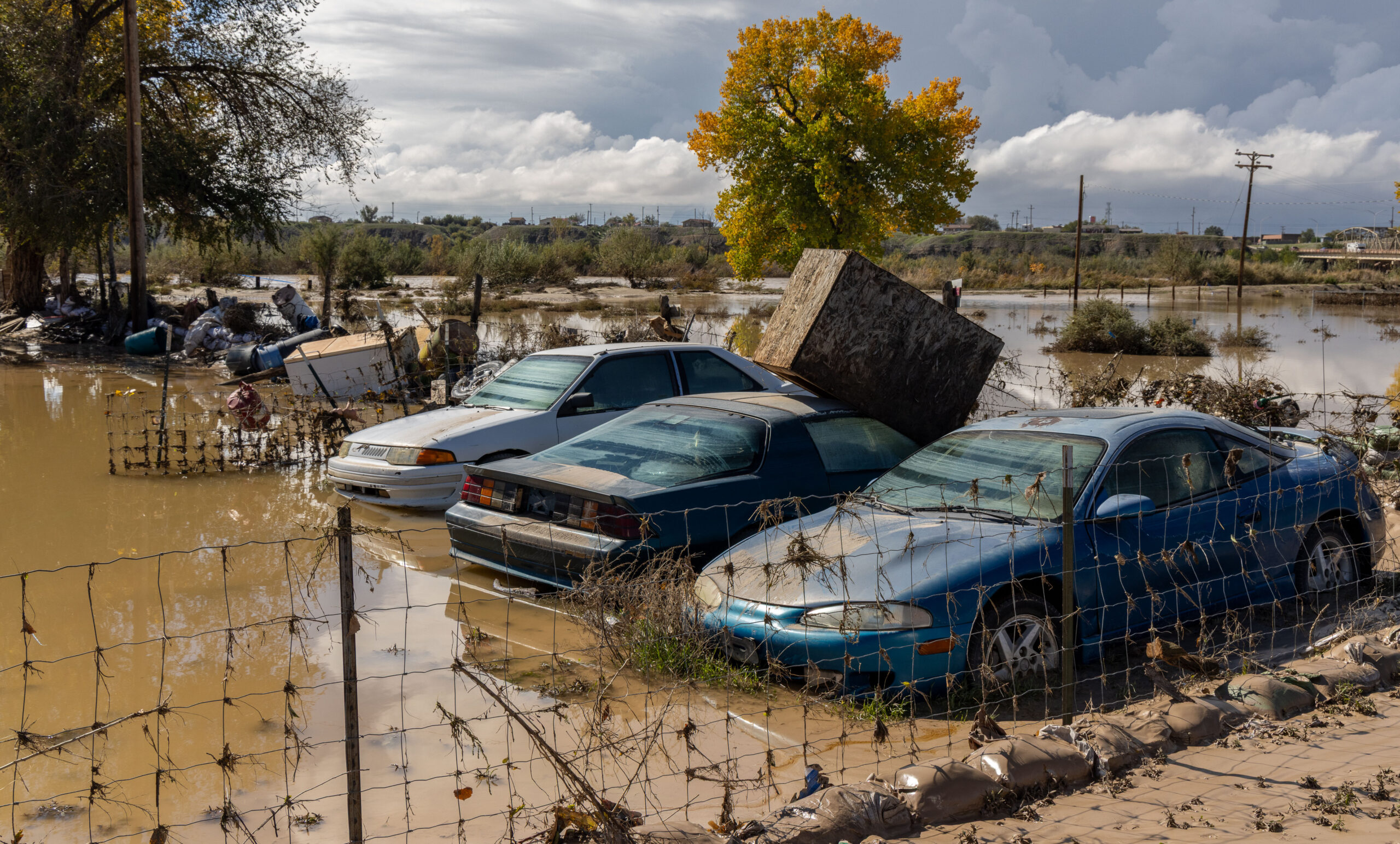
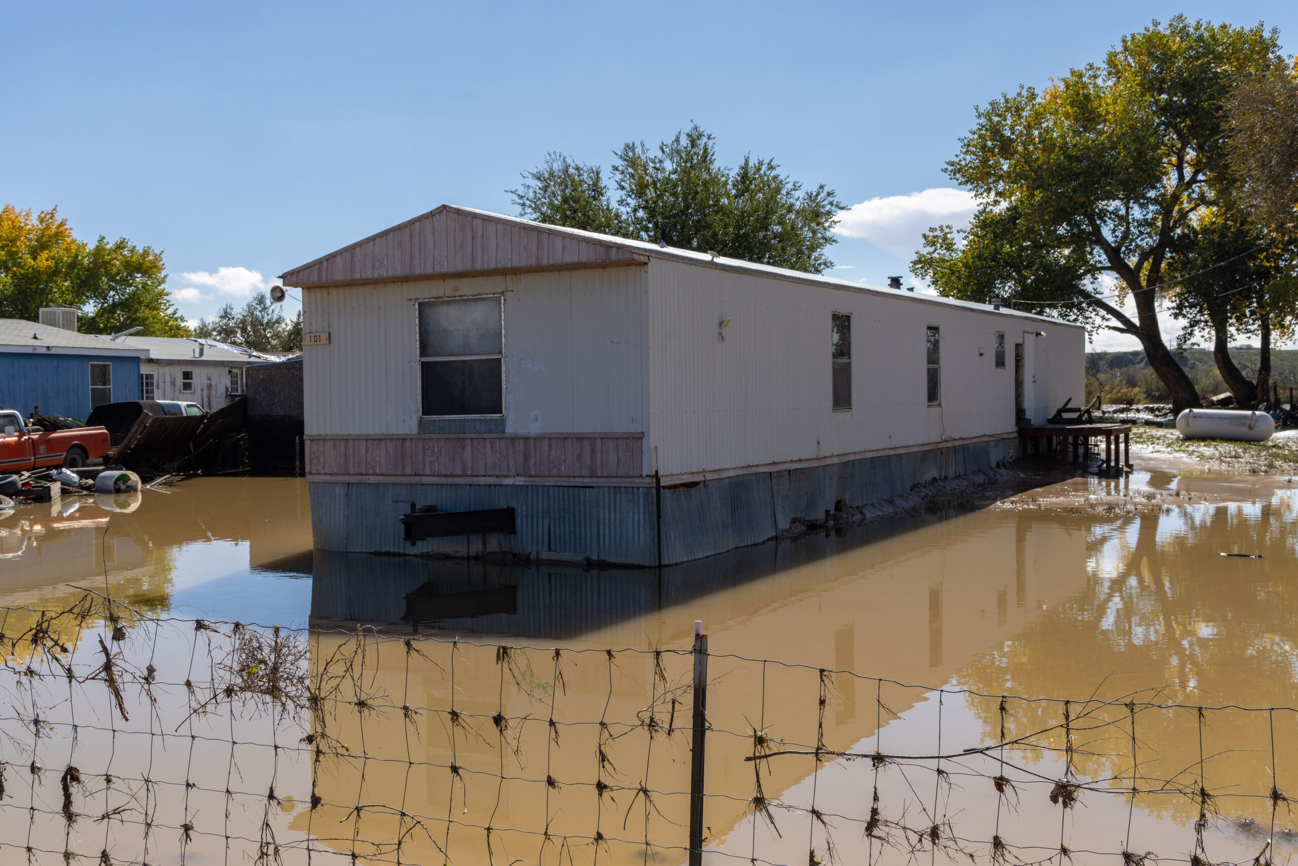
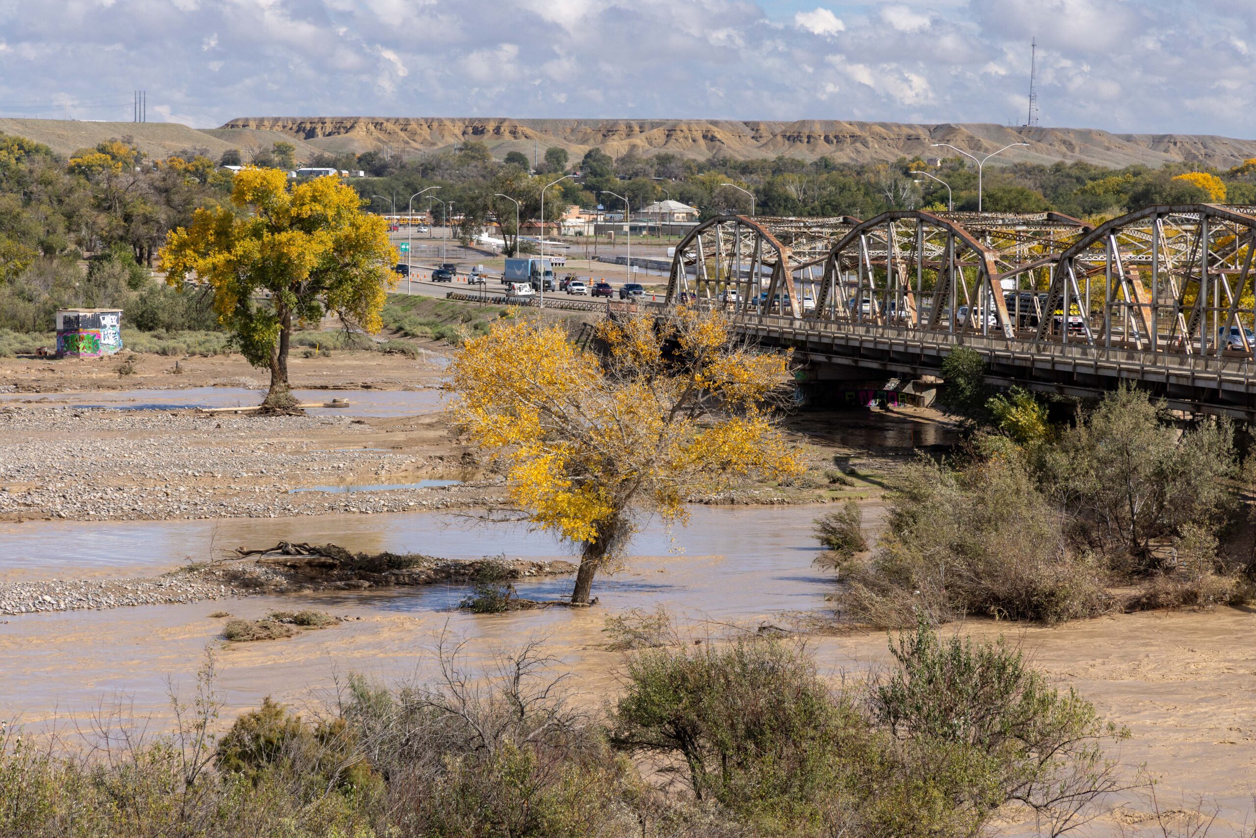
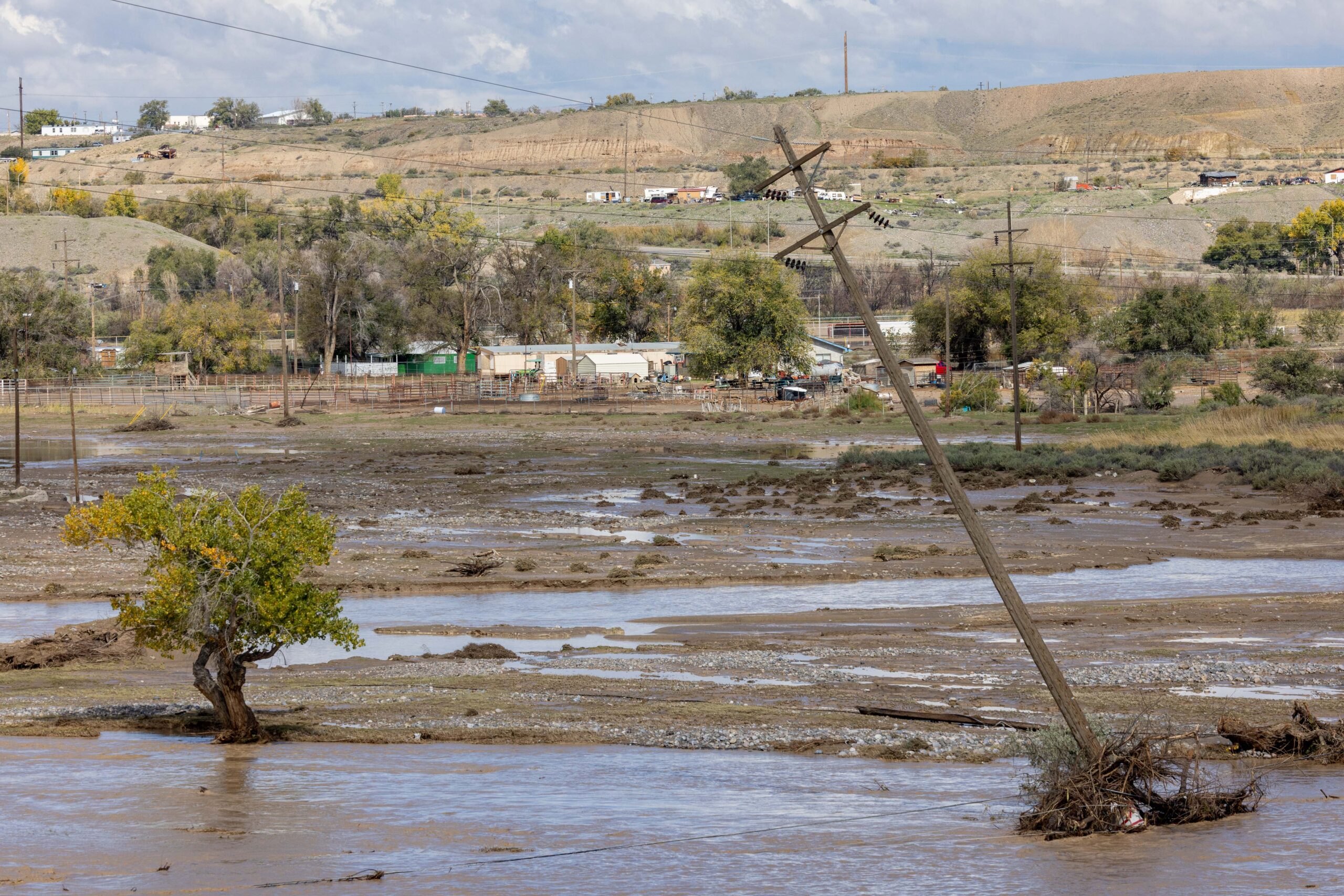
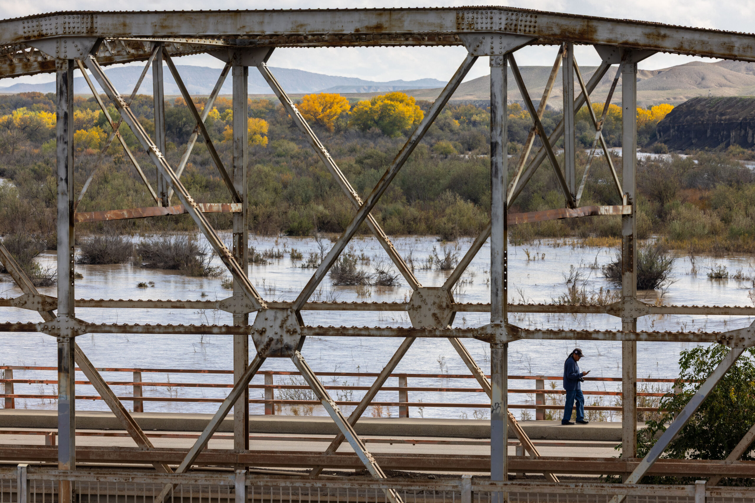
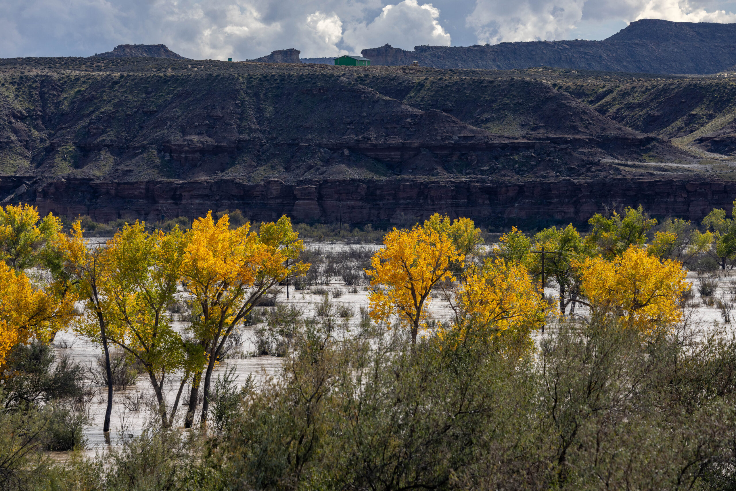
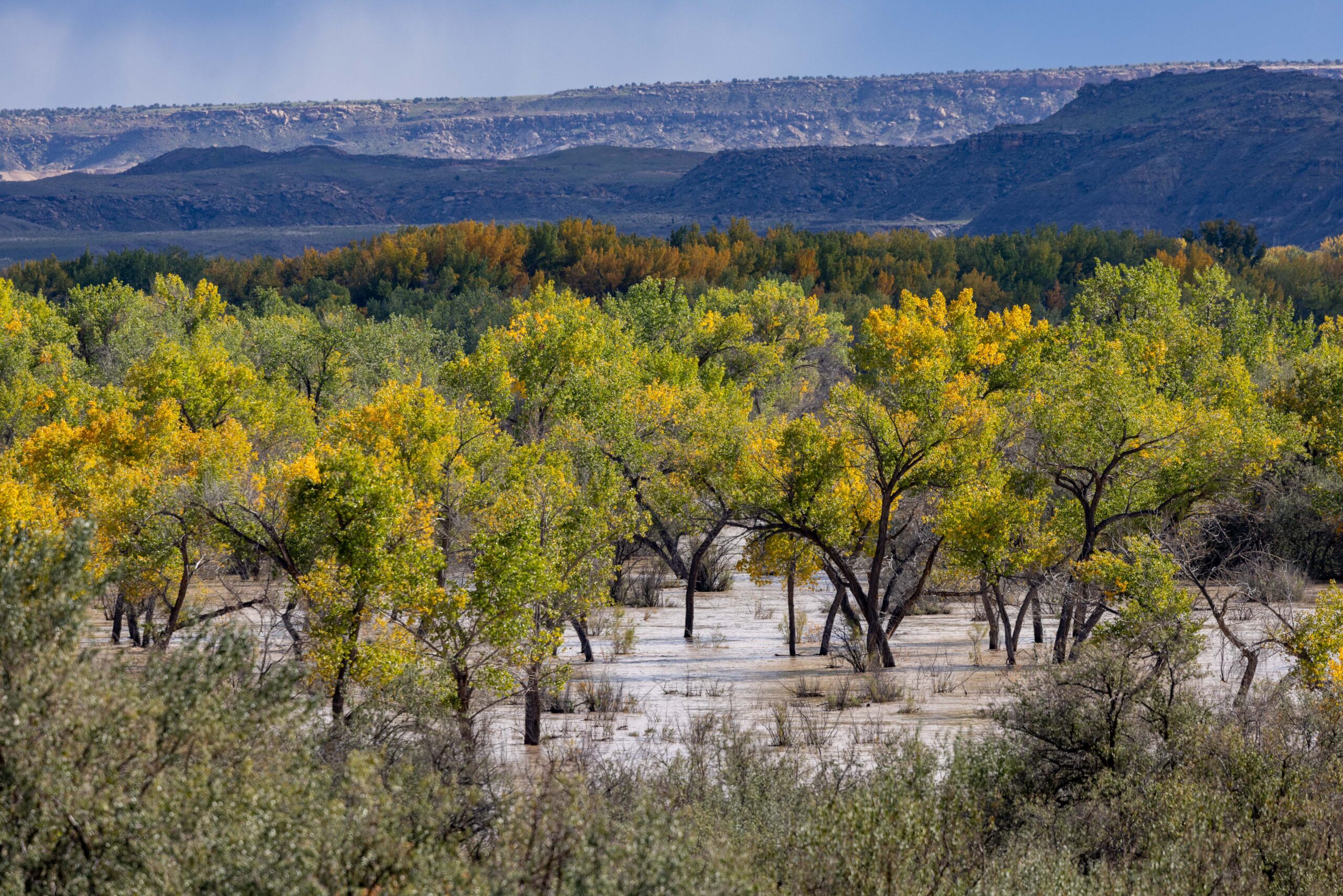
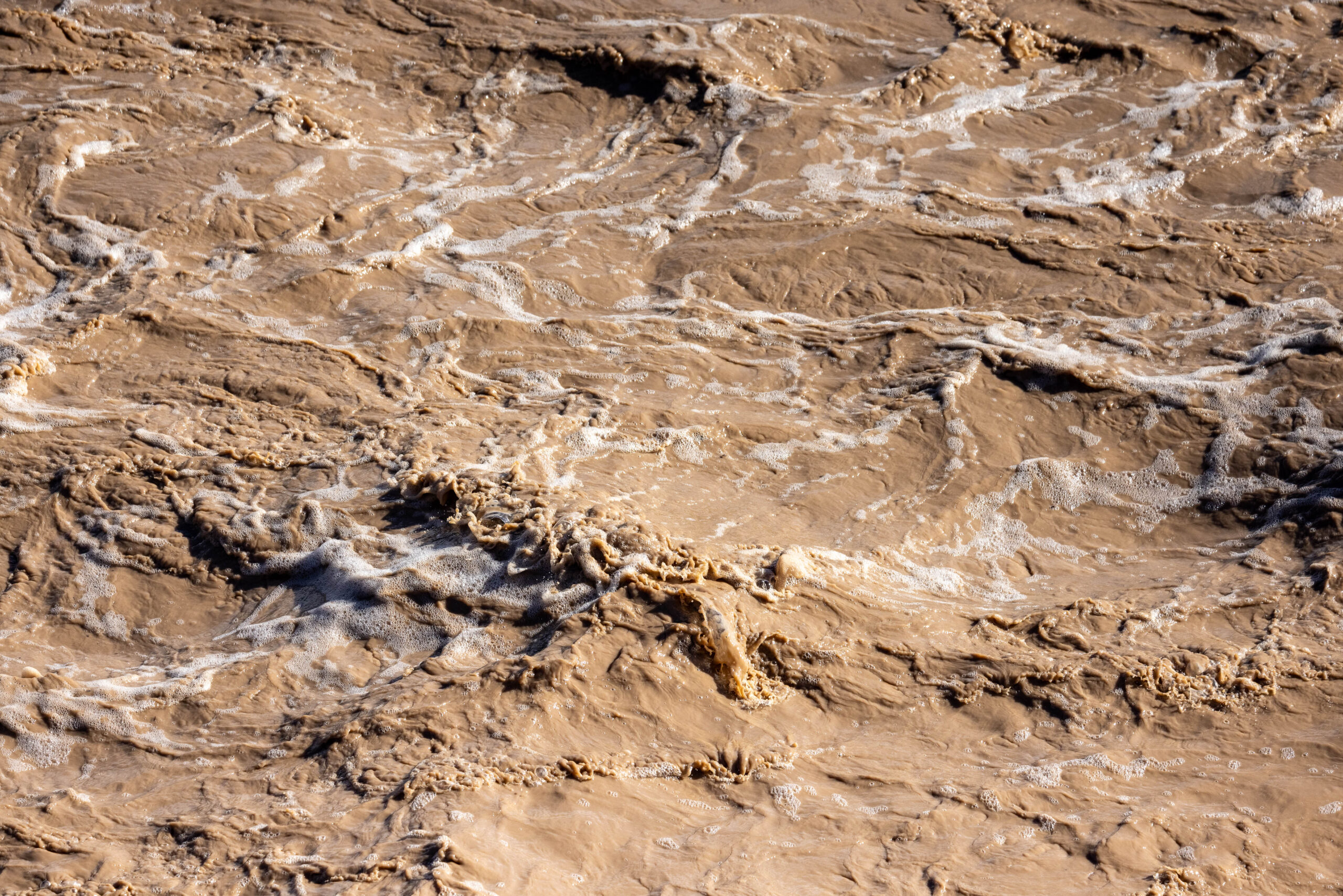
This page in our free multimedia library features photos of flooding along the San Juan River in northwestern New Mexico and southeastern Utah.
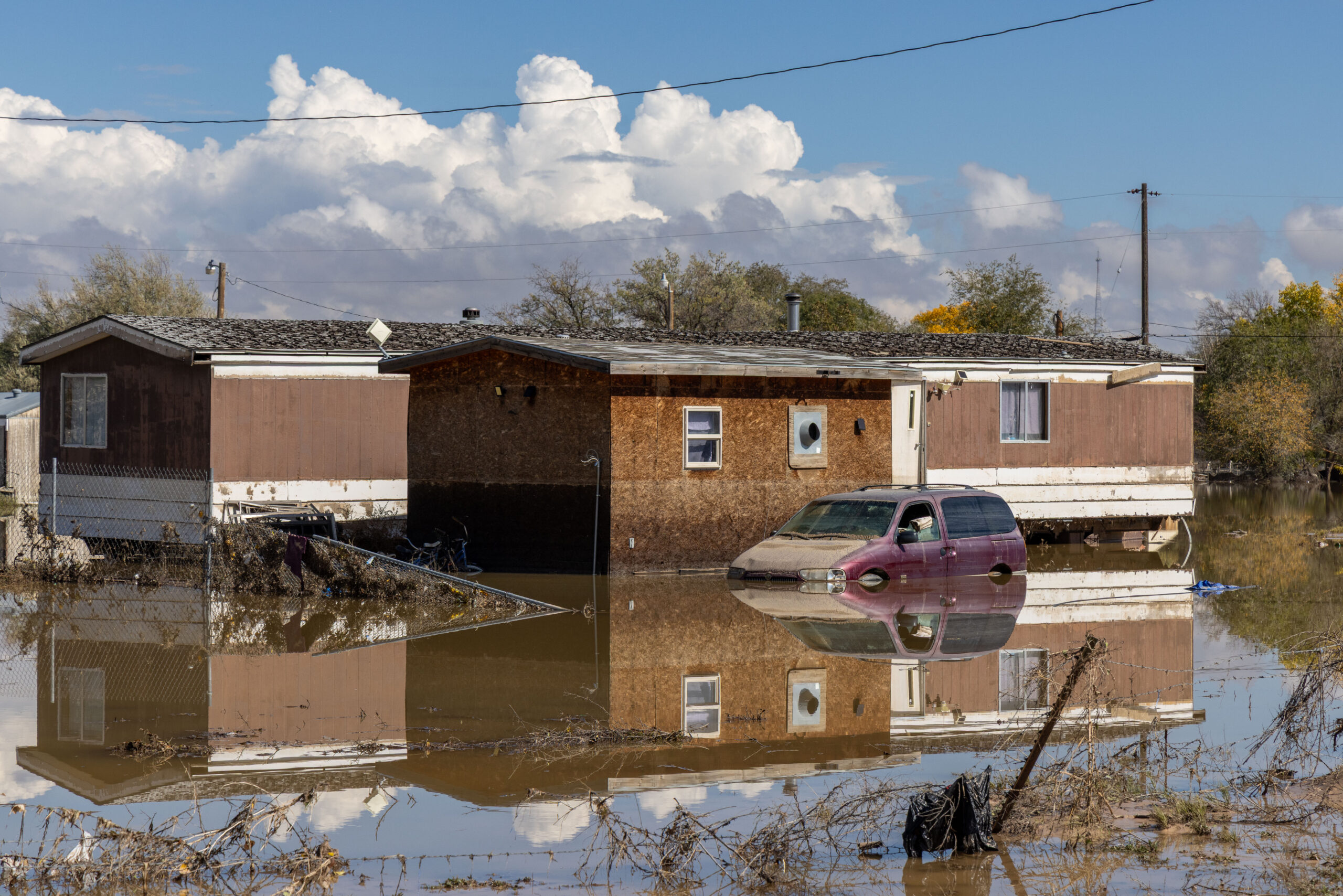
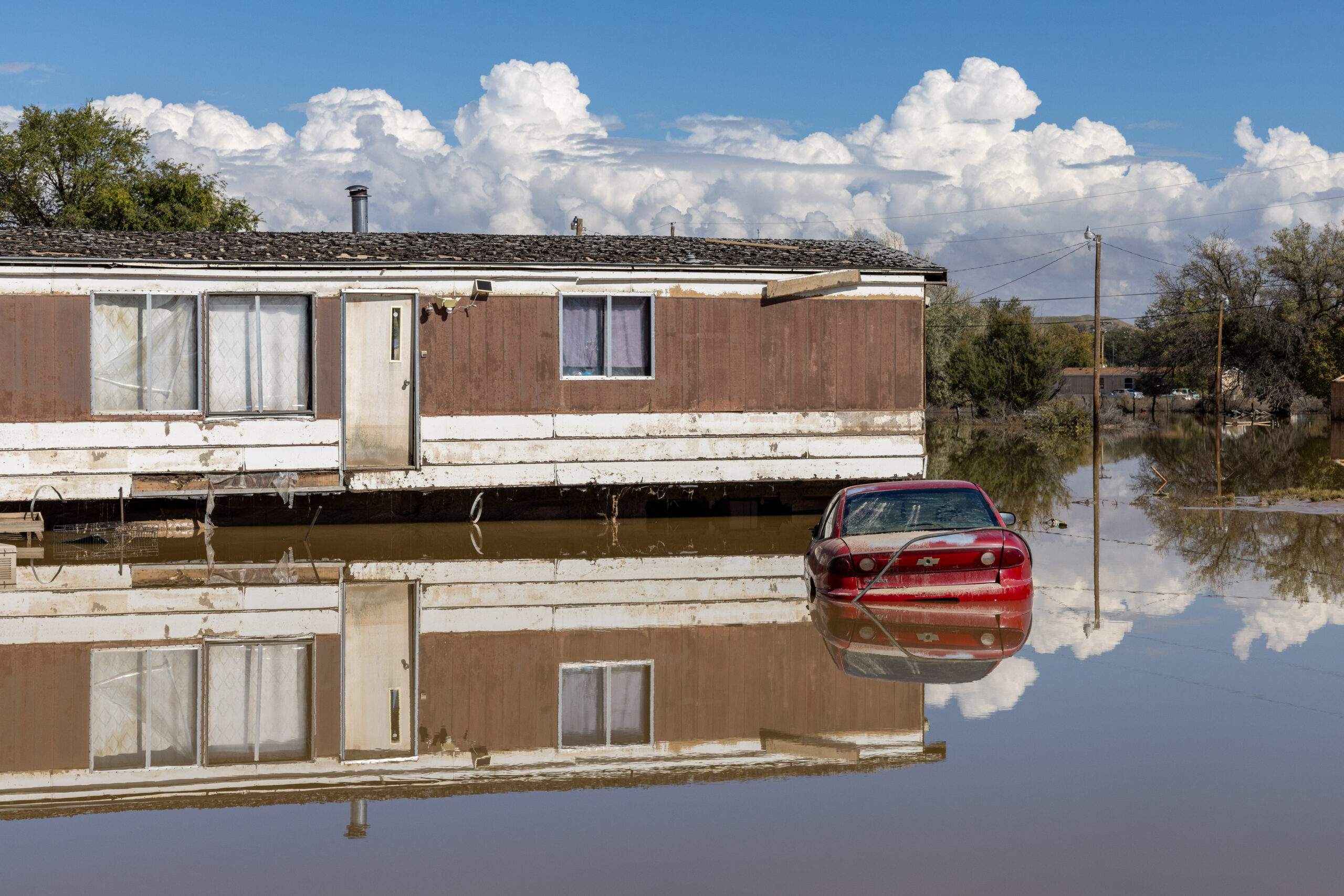
Days of heavy rain in October 2026, after weeks of abnormally wet weather, caused the San Juan River to spill its banks and cause disastrous flooding in the Four Corners region.
These photos show the effects of the flooding from Farmington, New Mexico, to Aneth, Utah, including damage to homes in Shiprock, on the Navajo Nation.
Our library contains other photo galleries of the San Juan River:
Photos: San Juan River headwaters, June 2026
Photos and videos: San Juan River, Utah, September 2023
Photos: San Juan River aerials, May 2021
Photos and videos: Navajo Lake and San Juan River, April 2021
Drone videos and photos: Goosenecks of the San Juan River, December 2019
| Date | October 25, 2026 |
| Location | San Juan River, from Farmington, NM (map) to Aneth, Utah (map) |
| Credit | Mitch Tobin/The Water Desk |
| Rights | Free to reuse under Creative Commons license. |
Selected images from gallery
To use these images
Please read and consent to the terms and license below for access to the download page.
To help us continue to offer this free material, we ask that you please:
- Credit the original photographer and the Water Desk as the source
- Email us a link to the published story at waterdesk@colorado.edu
- Consider sending The Water Desk your ideas for future content that we could add to the library
- Keep supporting professional photojournalists by hiring them for assignments