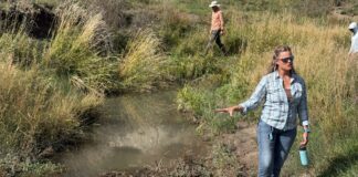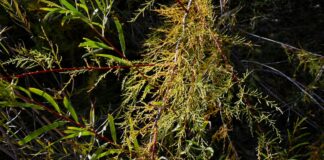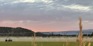


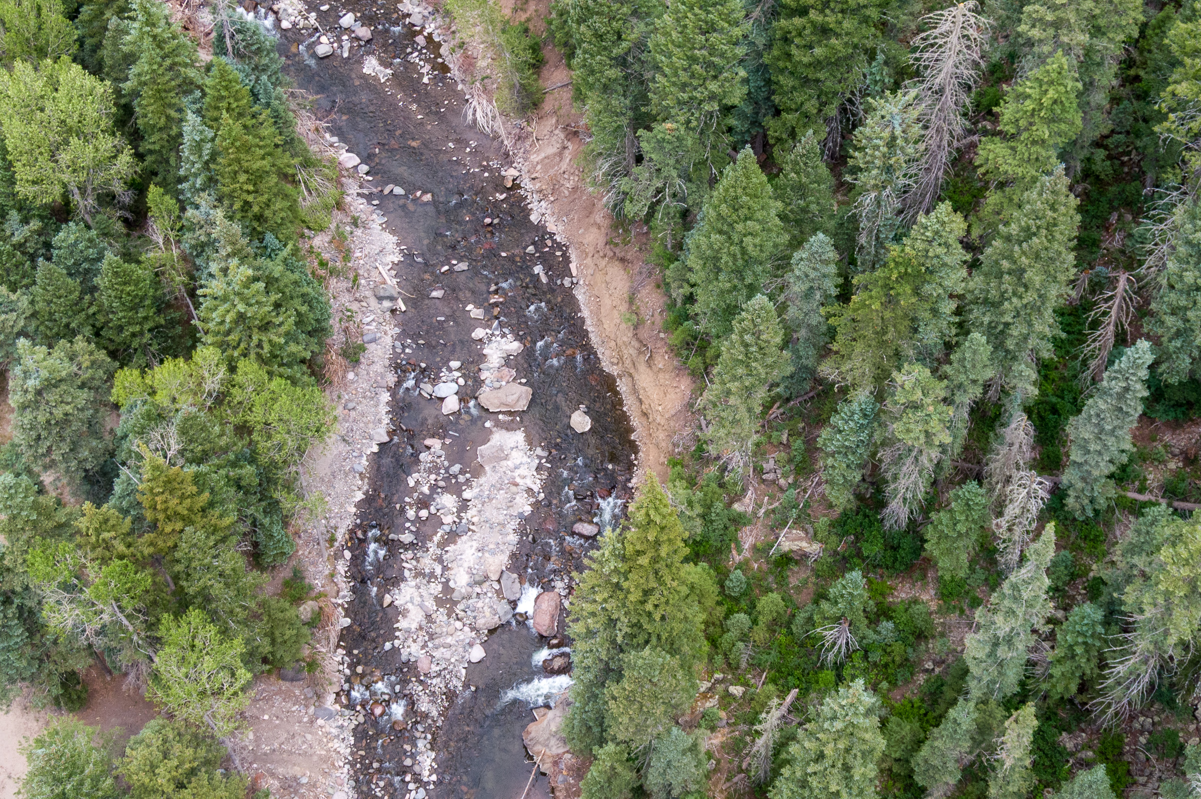
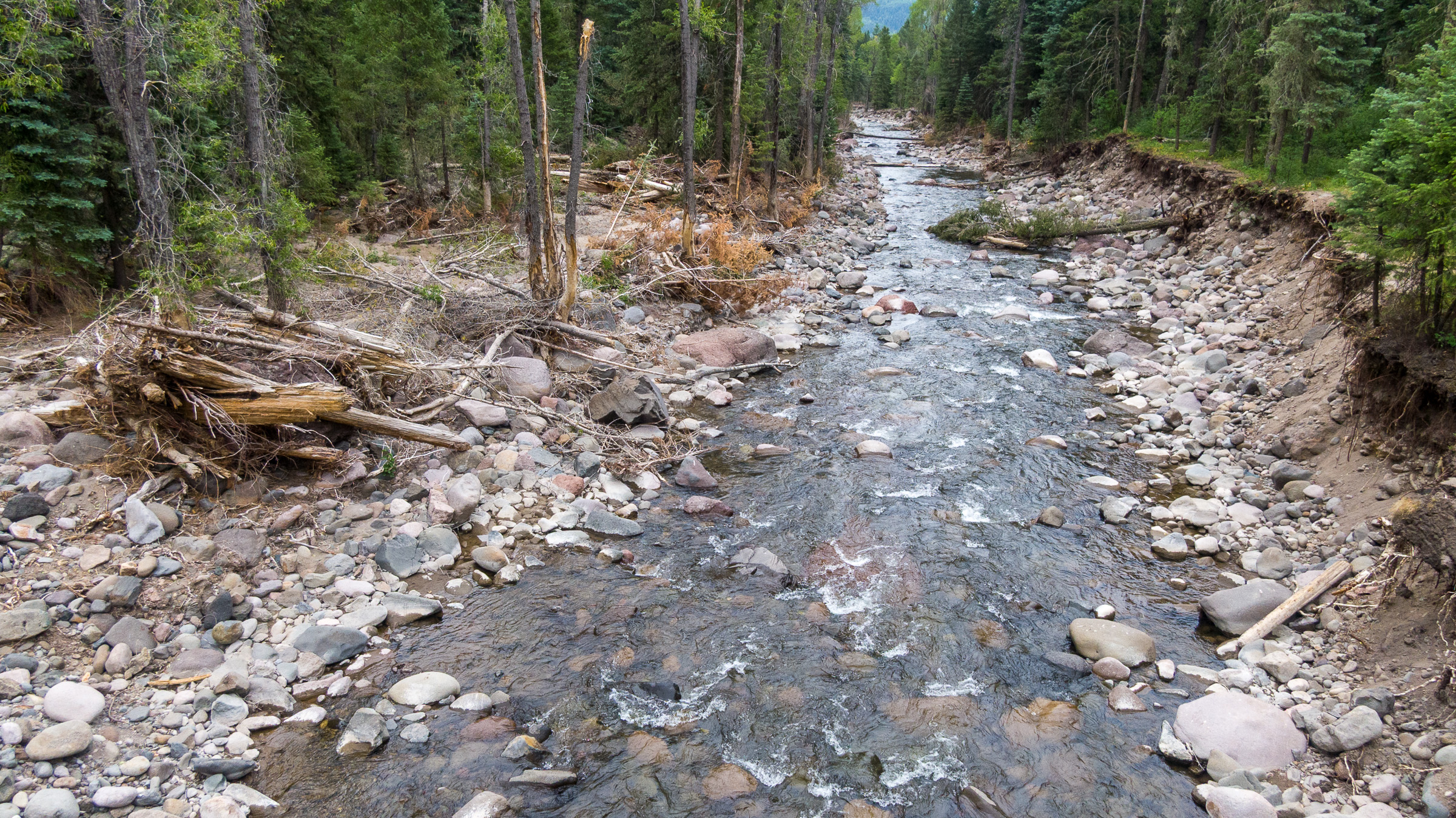
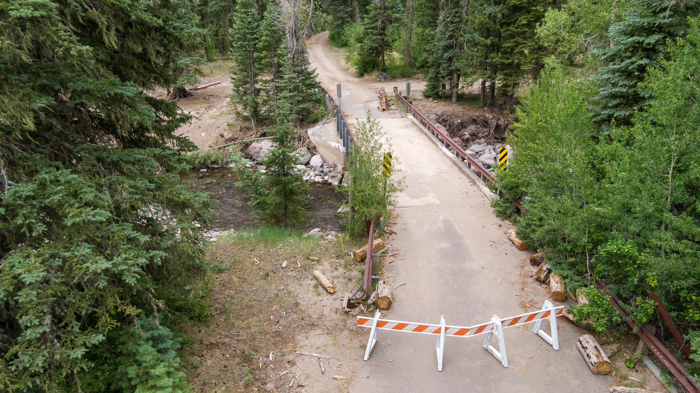
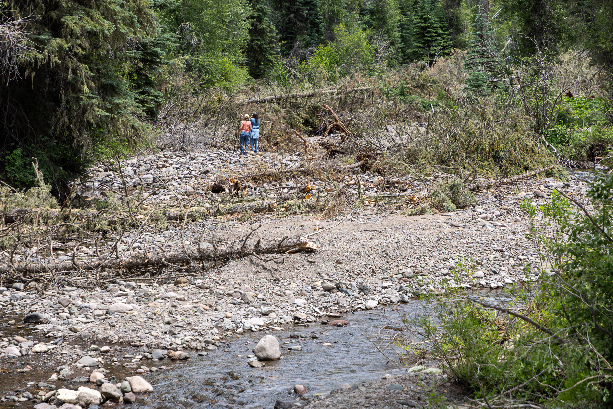
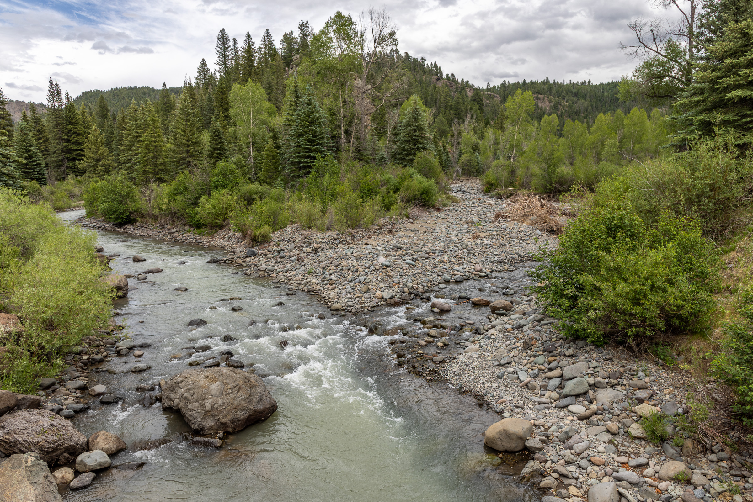
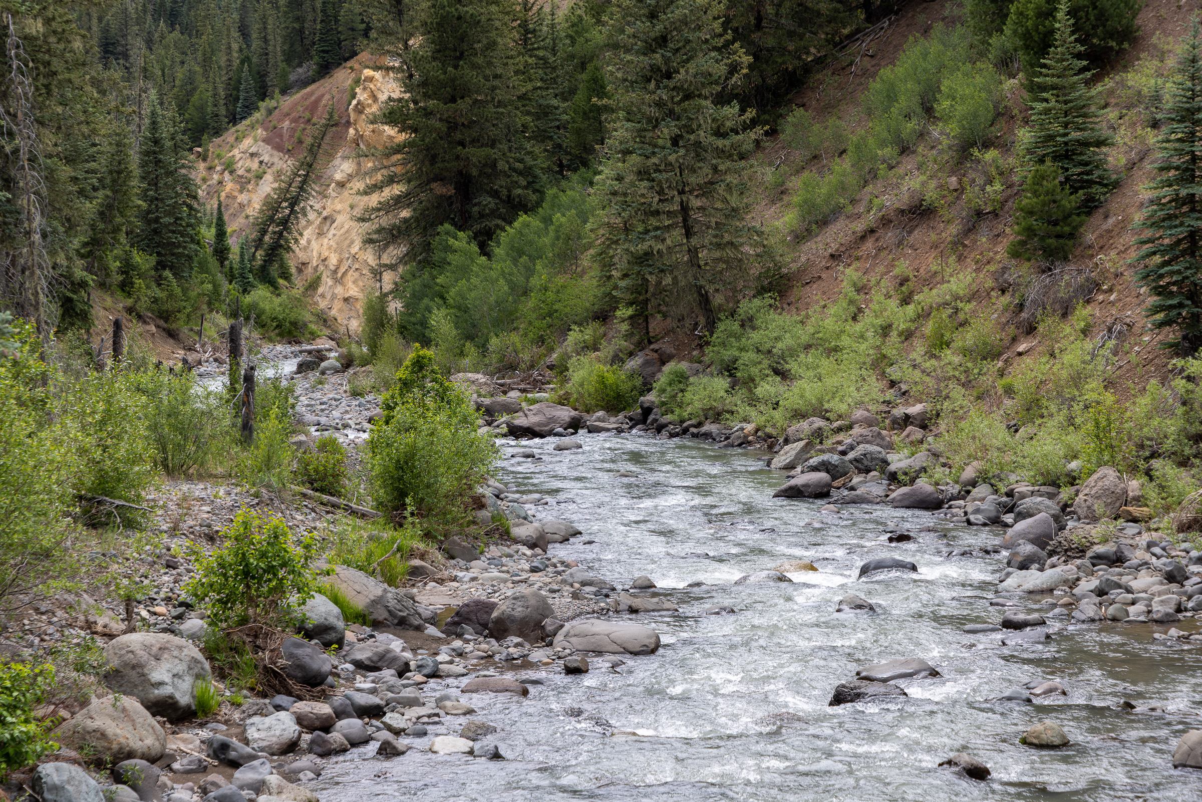
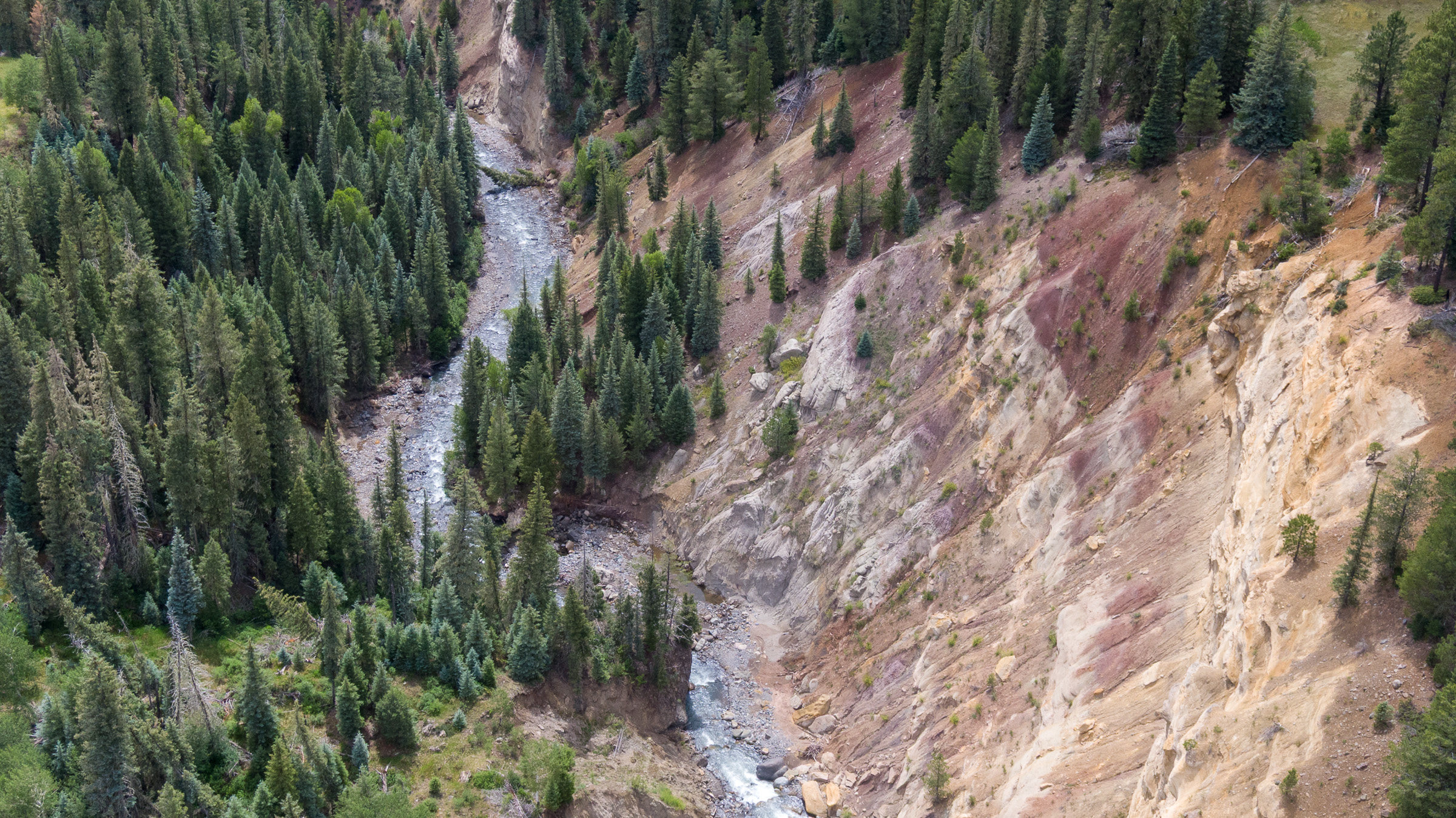
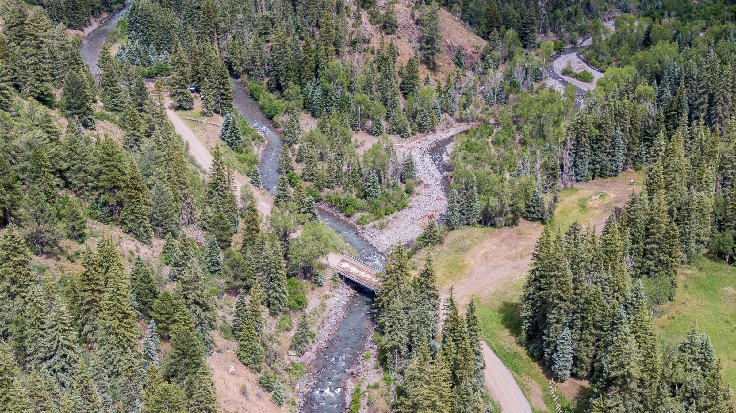
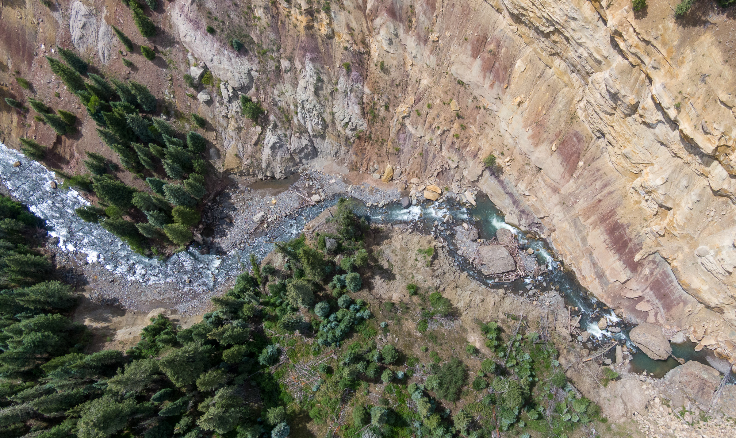
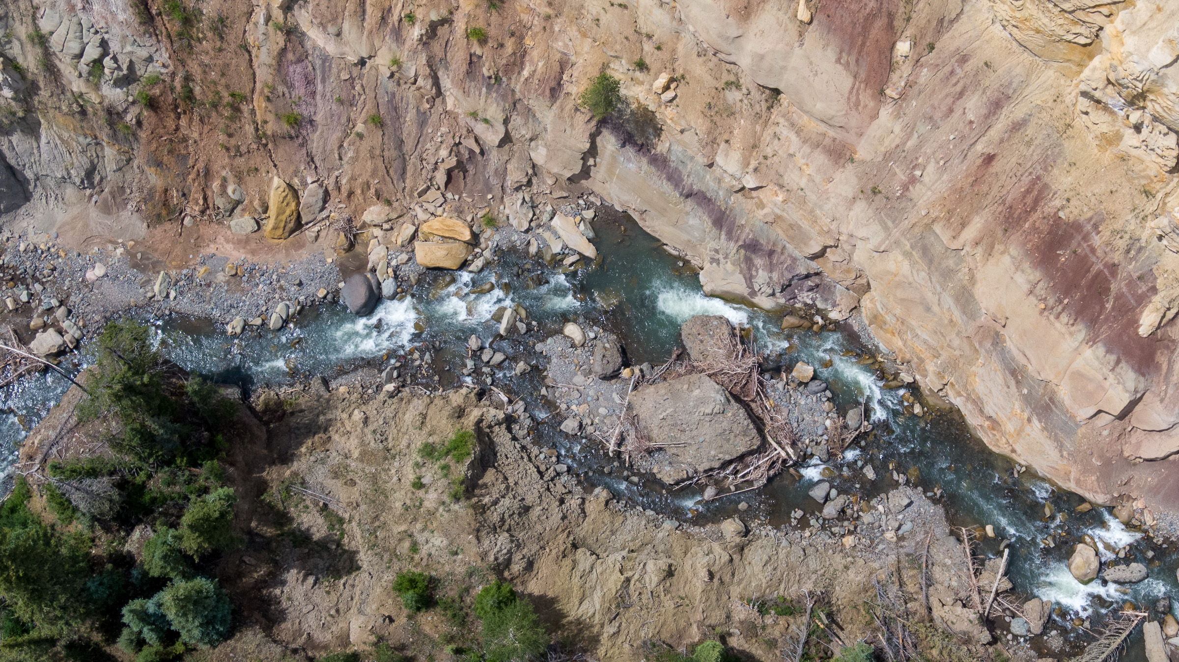
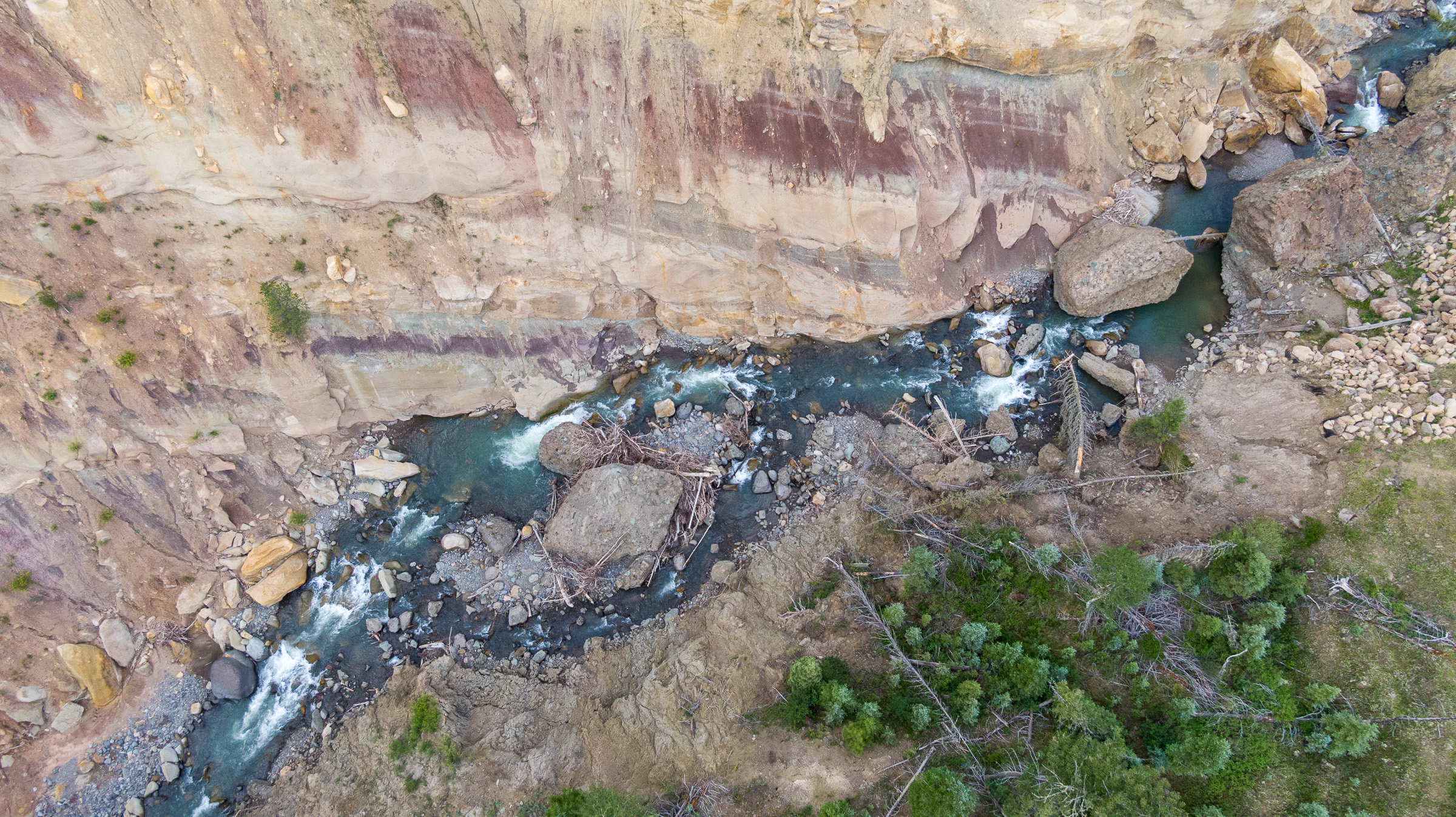
This page features photos of the headwaters of the San Juan River, near Pagosa Springs, Colorado.
The San Juan River is a major tributary of the Colorado River that begins in the San Juan Mountains of southern Colorado and ends at Lake Powell in Utah.
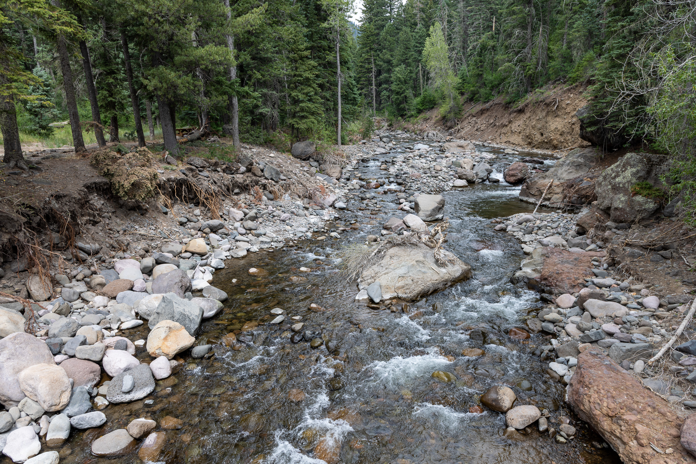
These photos show the West Fork and East Fork of the San Juan River, as well as Wolf Creek, a tributary of the West Fork and the namesake of a nearby mountain pass.
In October 2025, the headwaters of the San Juan River suffered major flooding, and the impact is visible in some of these images.
A rapid assessment of the event by the Western Water Assessment at the University of Colorado Boulder concluded that Pagosa Springs suffered its third largest flood on record from October 10 to 14.
“A total of 12.5 inches of precipitation fell at a high-elevation observation site in the watershed over 5 days, saturating the watershed and driving the river to reach Major Flood stage twice in that period,” according to the report. “Flood frequency analysis based on historical observations of runoff in Pagosa Springs suggests this flood has a return period of 25 to 40 years, meaning that there is a 2.5-4% likelihood of a flood of similar magnitude occurring in any given year.”
| Date | June 24, 2026 |
| Location | Near Pagosa Springs, Colorado (map) |
| Credit | Mitch Tobin/The Water Desk |
| Rights | Free to reuse under Creative Commons license. |
Selected images from gallery
To use these images
Please read and consent to the terms and license below for access to the download page.
To help us continue to offer this free material, we ask that you please:
- Credit the original photographer and the Water Desk as the source
- Email us a link to the published story at waterdesk@colorado.edu
- Consider sending The Water Desk your ideas for future content that we could add to the library
- Keep supporting professional photojournalists by hiring them for assignments