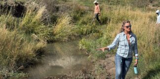


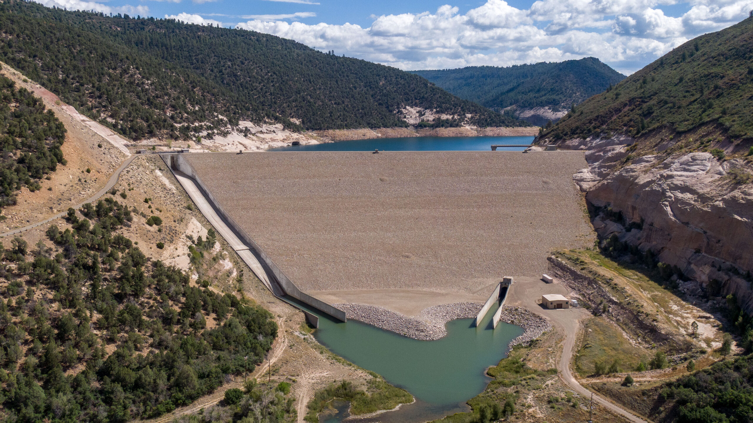
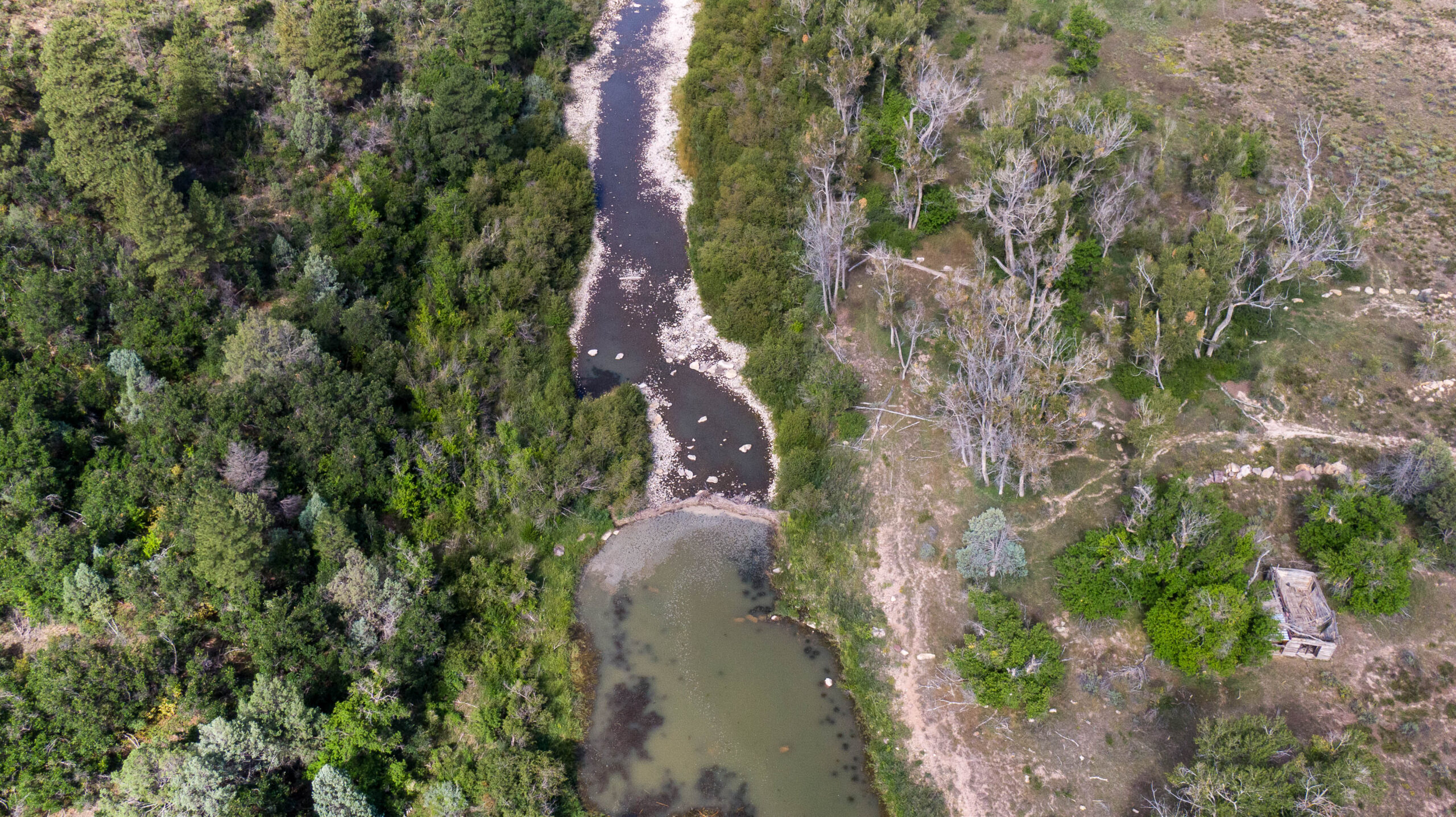
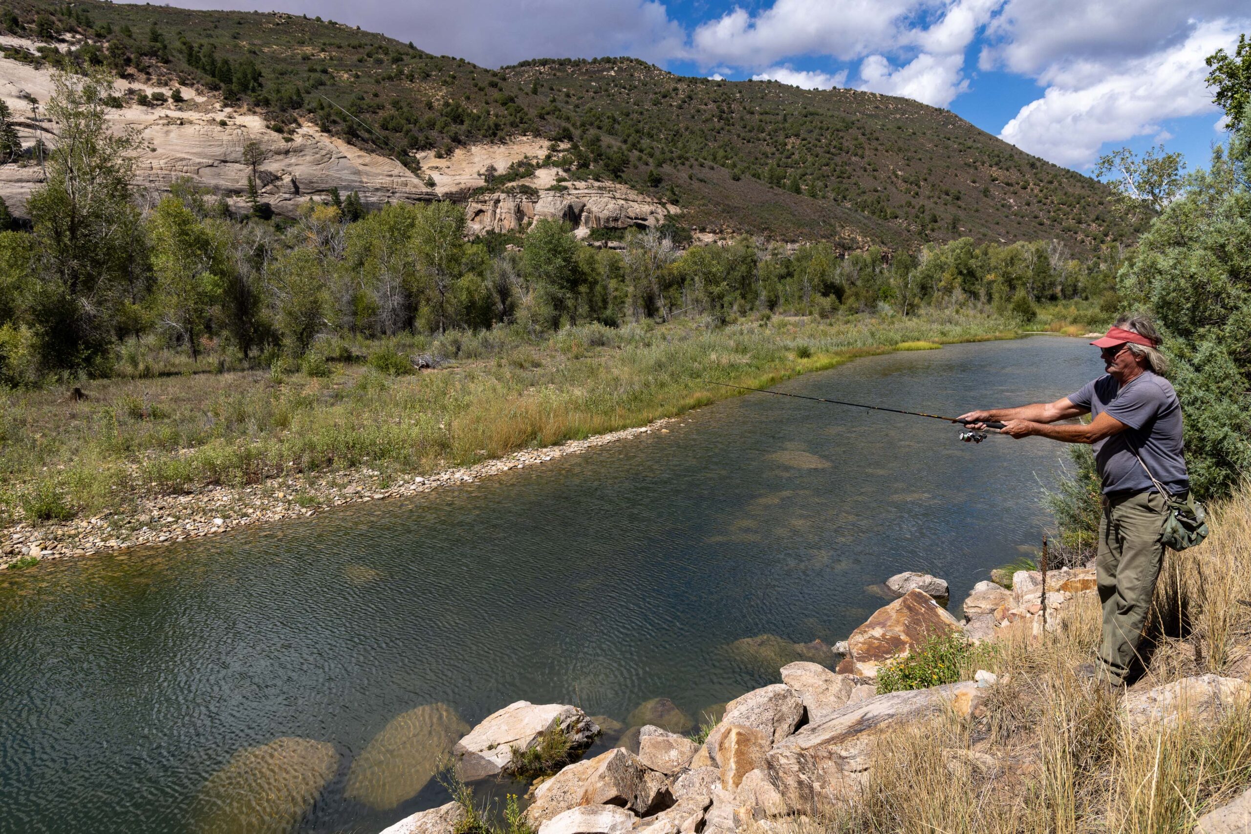
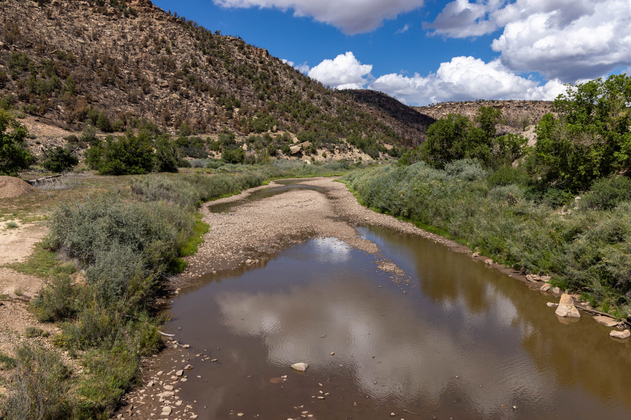
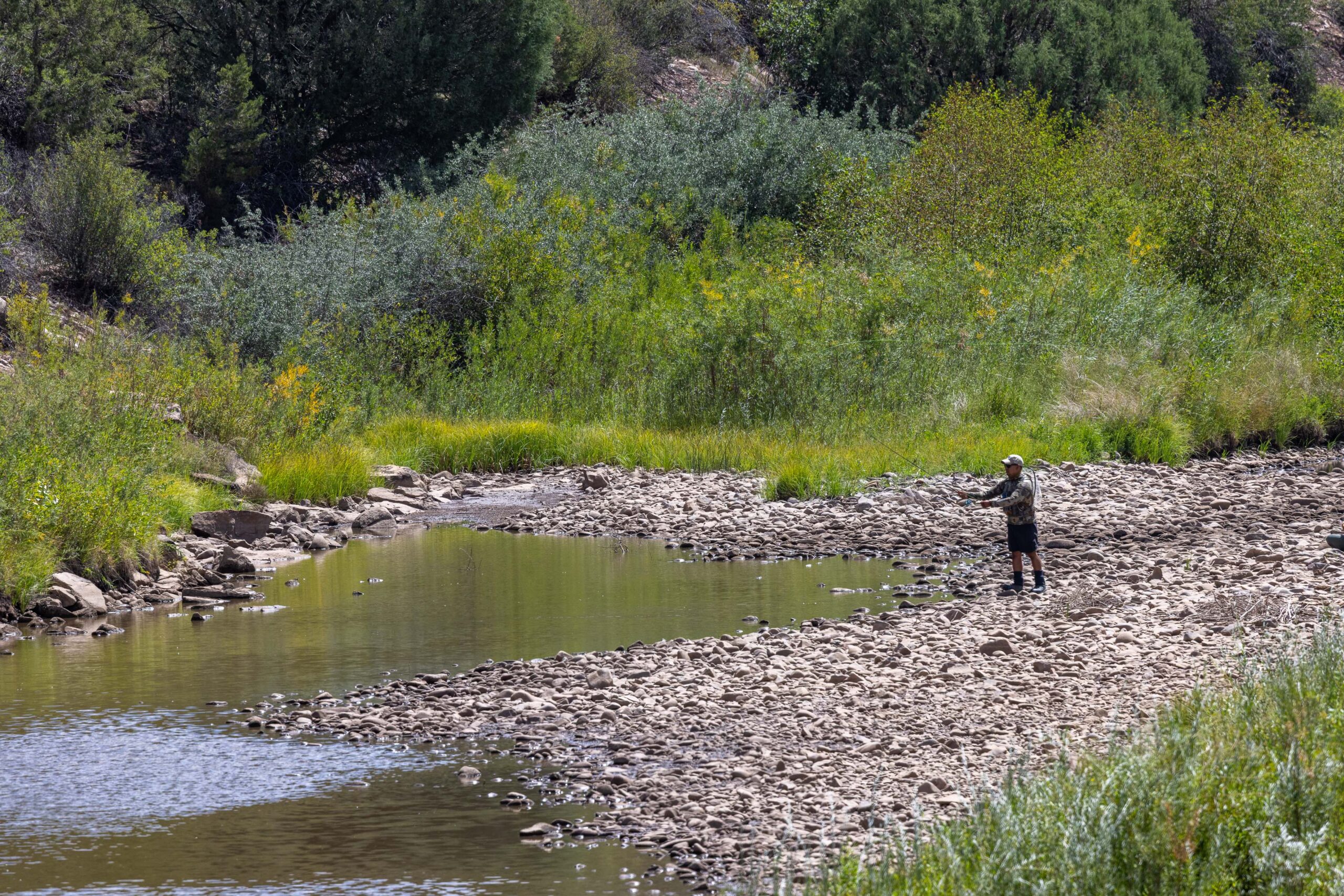
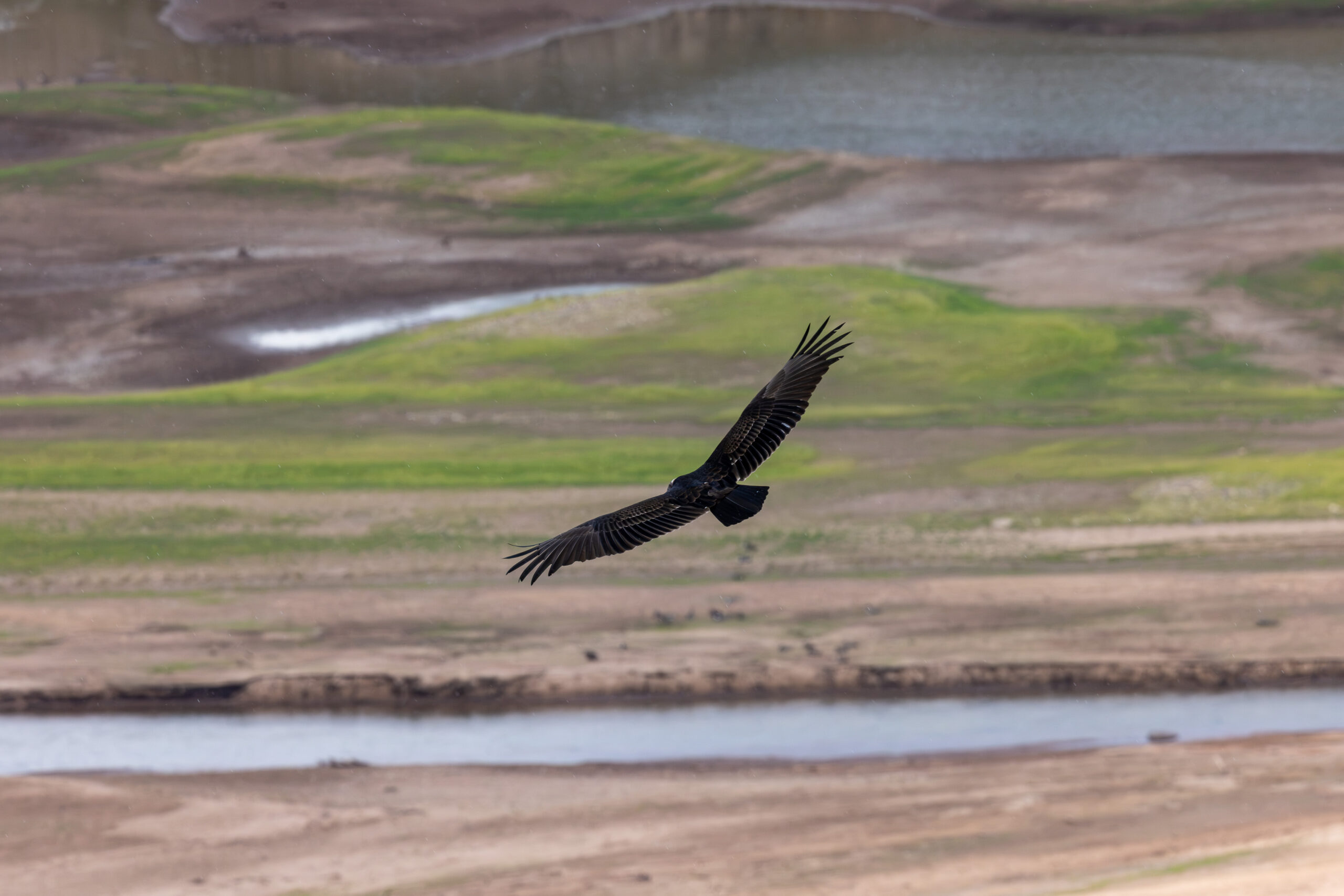
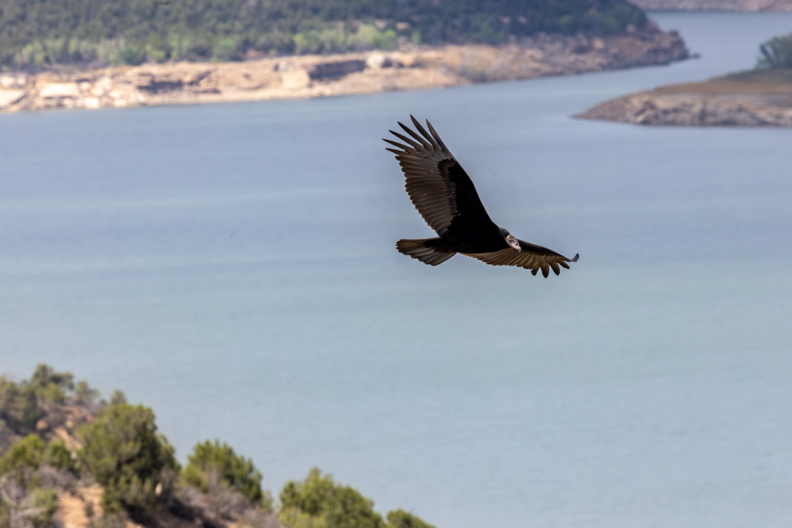
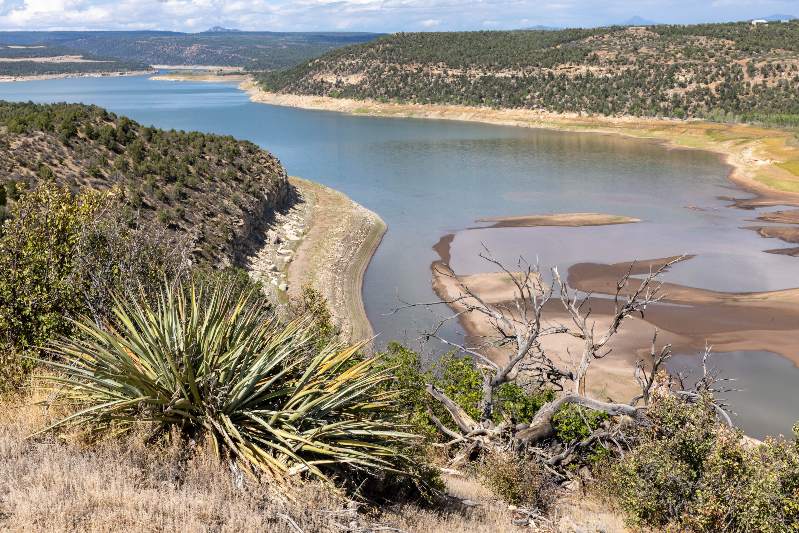
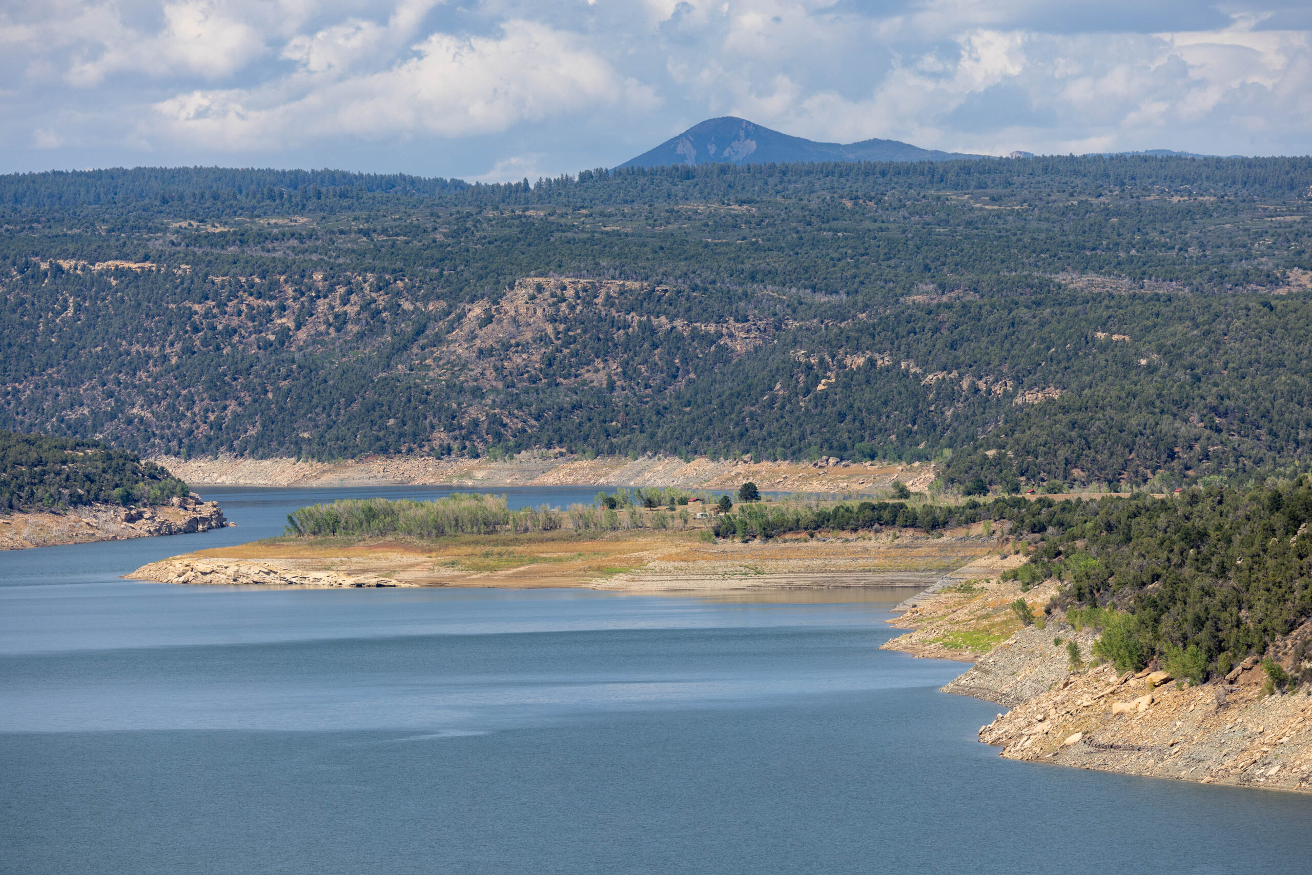
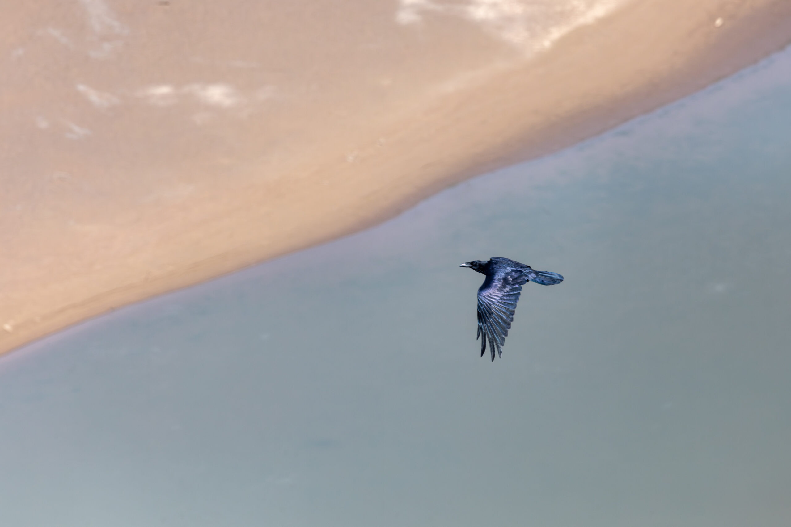
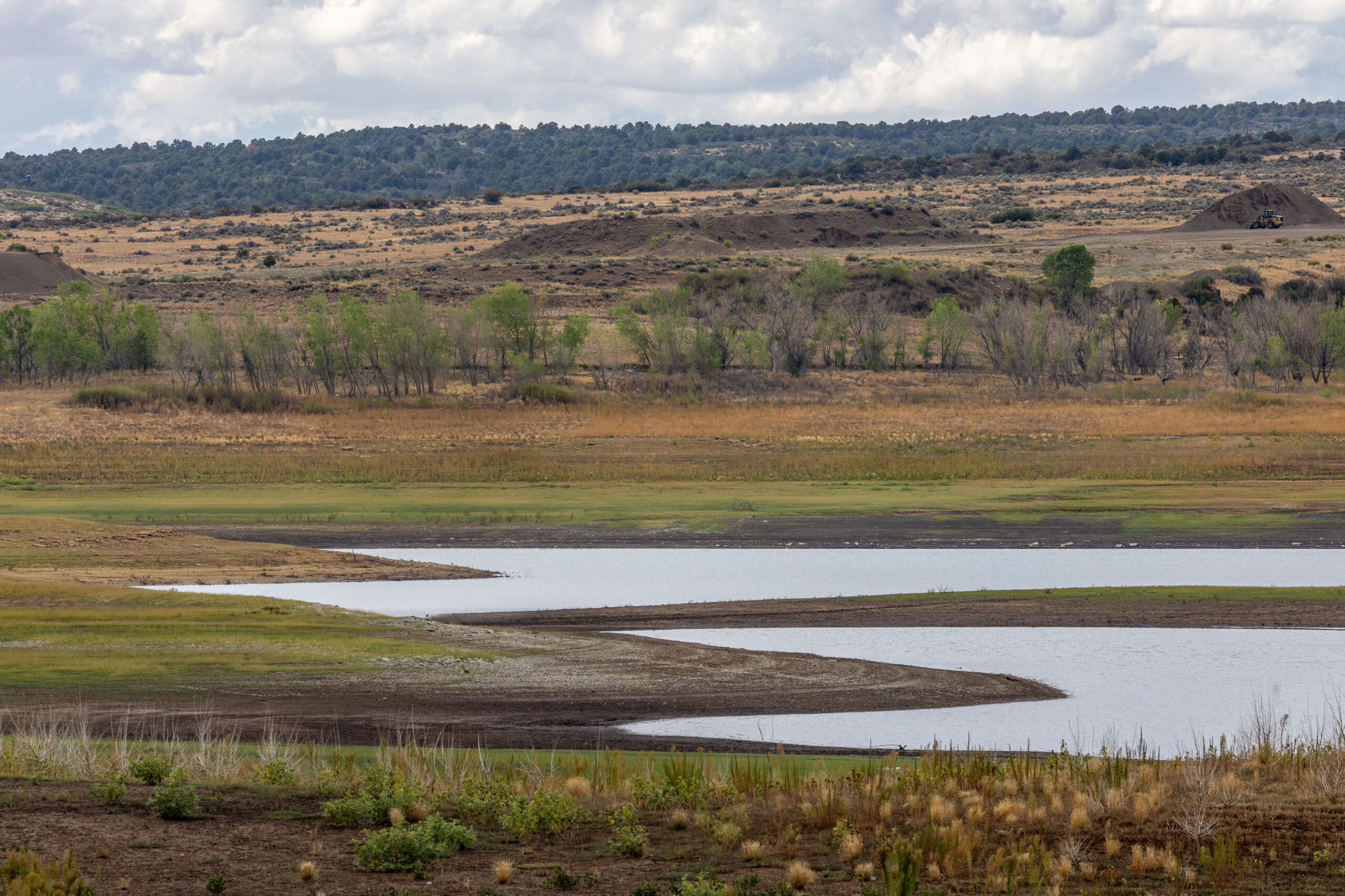
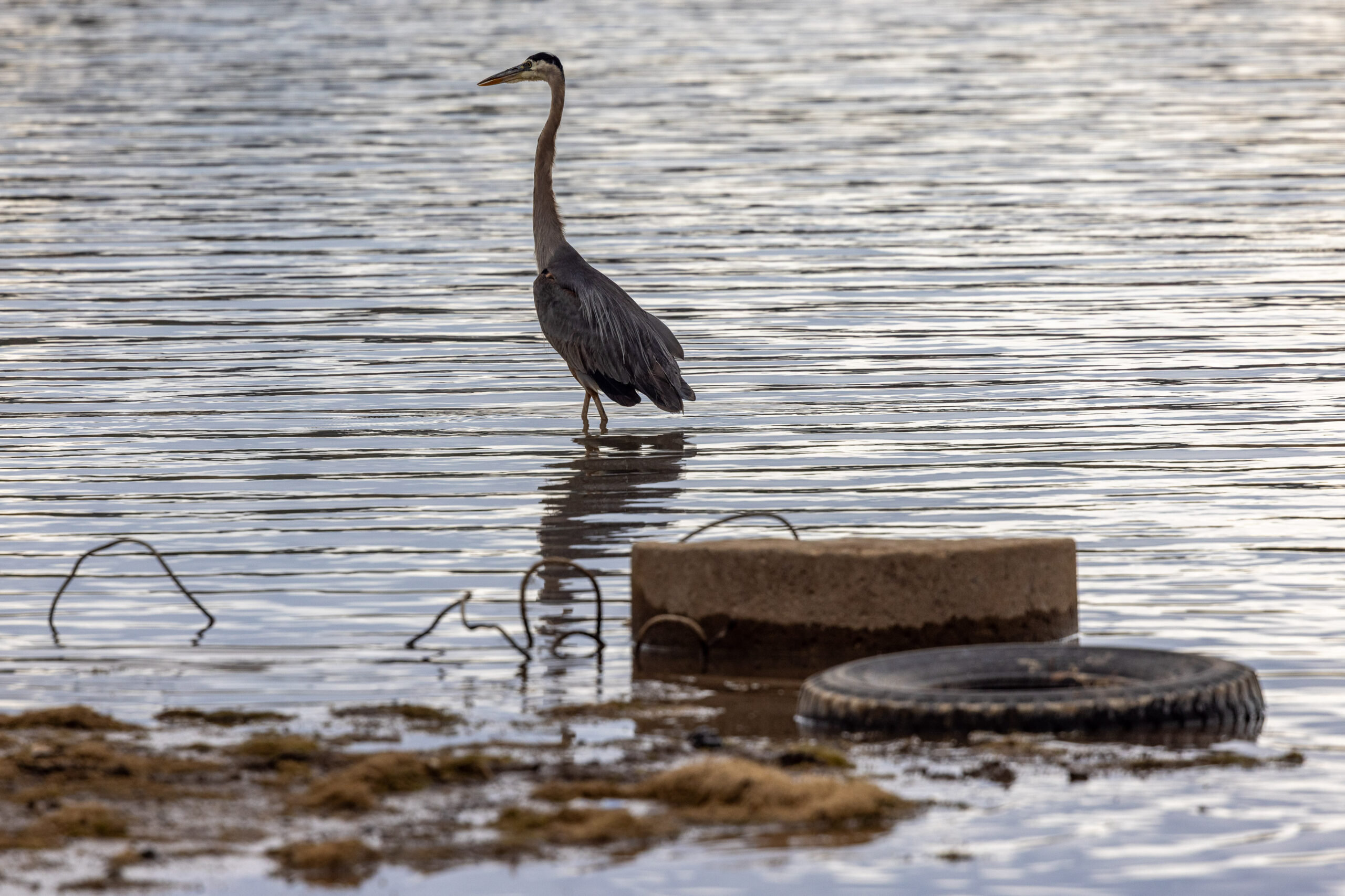
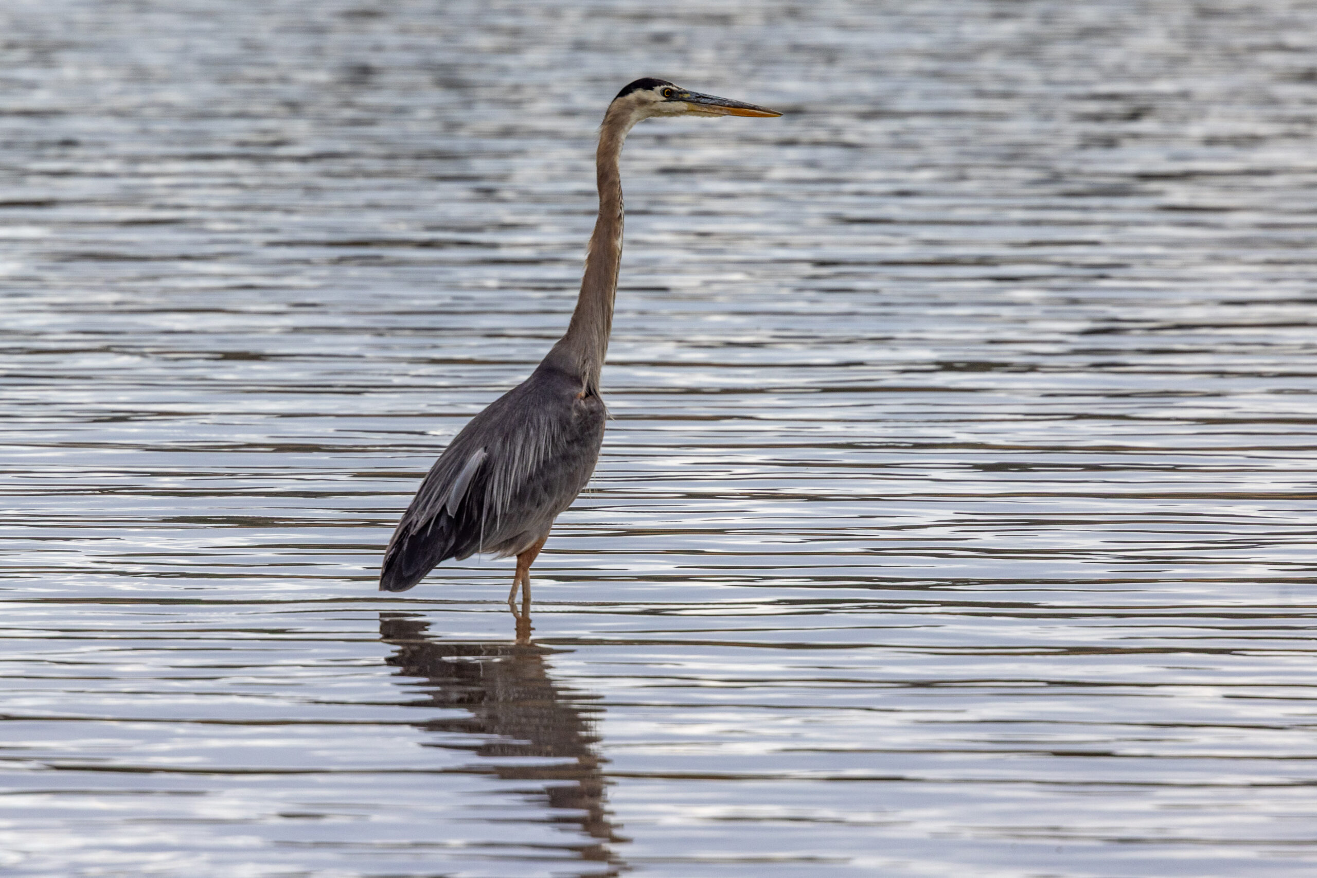
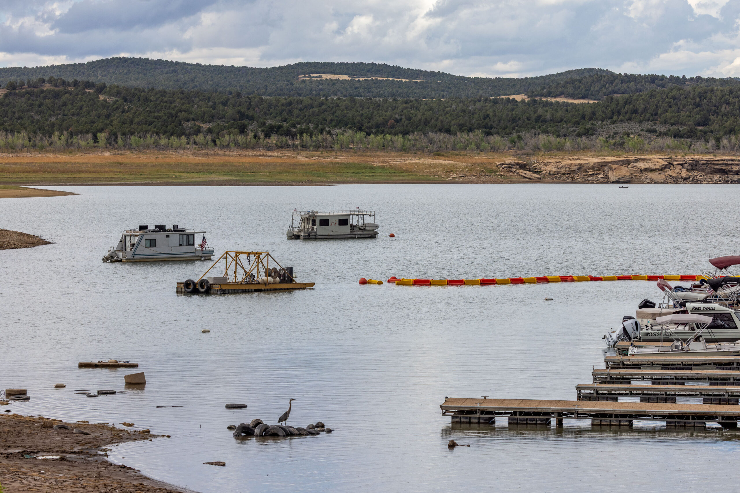
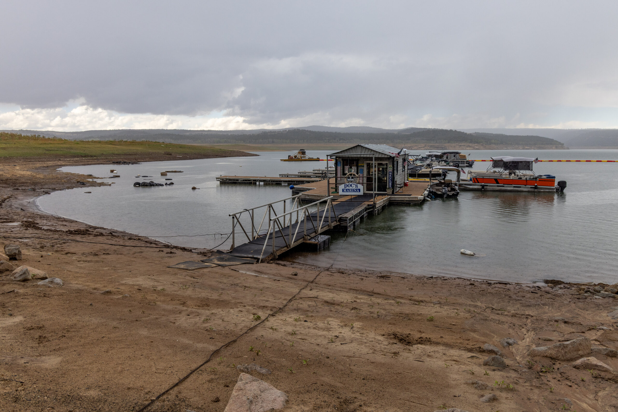
This page features photos of the Dolores River and McPhee Reservoir in southwest Colorado.
The Dolores River begins in the San Juan Mountains and travels about 230 miles before emptying into the Colorado River in Utah, northeast of Moab.
The flow of the Dolores and the river’s ecology have been severely impacted by the construction of McPhee Dam, which was completed in 1984 and built primarily to supply irrigation water.
When these photos were taken on September 2, 2026, McPhee was 42% full after a historic snow drought the previous winter.
For more photos of the Dolores River, see these entries in our free multimedia library:
Photos: Dolores River and McPhee Reservoir, May 2023
Photos and videos: Dolores River, September 2020
Photos and videos: Hanging Flume and Dolores River, September 2020
| Date | September 2, 2026 |
| Location | Dolores River and McPhee Reservoir, Colorado (map) |
| Credit | Mitch Tobin/The Water Desk |
| Rights | Free to reuse under Creative Commons license. |
Selected images from gallery
To use these images
Please read and consent to the terms and license below for access to the download page.
To help us continue to offer this free material, we ask that you please:
- Credit the original photographer and the Water Desk as the source
- Email us a link to the published story at waterdesk@colorado.edu
- Consider sending The Water Desk your ideas for future content that we could add to the library
- Keep supporting professional photojournalists by hiring them for assignments