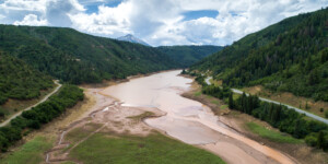
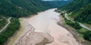
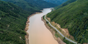
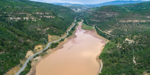
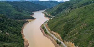
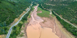
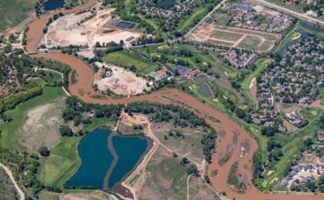
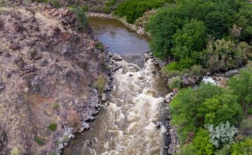
This page features drone-captured images of Paonia Reservoir, located in Gunnison County, Colorado.
Constructed in 1962, 199-foot Paonia Dam crosses Muddy Creek just upstream from its junction with Anthracite Creek. Together, these two rivers form the North Fork of the Gunnison River. The reservoir was created for irrigation storage, and it currently provides water to around 15,300 acres of land in the Upper Colorado River Basin.
When built, Paonia Reservoir had a storage capacity of roughly 21,000 acre-feet. Now, the reservoir can only store about 14,000 acre-feet because it has filled with mud. At the current sedimentation rate from Muddy Creek, Paonia Reservoir will be completely filled in 150 years. Before sediment makes it to the reservoir’s base, it affects the dam’s intakes and outlets, severely affecting its ability to provide irrigation water for the region.
In spring 2010, the reservoir was drawn down in attempt to allow spring runoff to flush excess sedimentation out of Paonia Reservoir’s outlets. The Bureau of Reclamation said this was only a short-term fix and it plans to create a sedimentation management plan to allow the reservoir to operate at full capacity.
Learn more:
Jonathan Thompson, “Upstream battle,” The Durango Telegraph, July 29, 2021.
| Date | July 2021 |
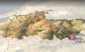
| Location | Paonia Reservoir, Colorado (map) |
| Credit | Ted Wood/The Water Desk |
| Rights | Free to reuse under Creative Commons license. |
Selected images from the gallery
Click to enlarge
To use these images
Please read and consent to the terms and license below for access to the download page.
To help us continue to offer this free material, we ask that you please:
- Credit the original photographer and the Water Desk as the source
- Email us a link to the published story at waterdesk@colorado.edu
- Consider sending The Water Desk your ideas for future content that we could add to the library
- Keep supporting professional photojournalists by hiring them for assignments


