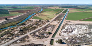
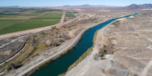
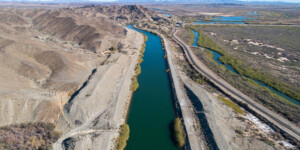
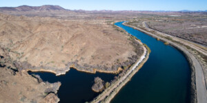
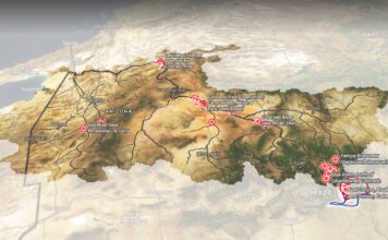
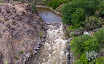
This page features aerial photos of the All-American Canal near Winterhaven, California.
The All-American Canal begins at the Imperial Dam in southeastern California and flows west—nearly parallel to the California-Mexico border—for over 80 miles, making it the largest irrigation canal in the world. It connects to a system of canals, check dams and pipelines, creating the Imperial Irrigation District (IID), which supplies water to California’s Imperial Valley.
The Imperial Valley, the county’s fourth most productive agricultural region, owes much of its existence to the Colorado River water delivered by the IID. The valley only receives about three inches of rain annually, but the All-American Canal carries around 3.1 million acre-feet of water to over 500,000 acres in the Imperial Valley each year. This water irrigates several crops, most notably winter fruits and vegetables, cotton and grain.
The canal, while critical to the country’s supply of produce, has also been the site of over 500 deaths since its completion in 1942. The canal, as wide as 200 feet in some locations, poses a serious threat to undocumented immigrants attempting to cross the U.S.-Mexico border.
Learn more:
Crystal Jimenez, “Death toll up of those illegally crossing the border,” KESQ, June 24, 2021.
| Date | February 2021 |
| Location | All-American Canal, California (map) |
| Credit | Ted Wood/The Water Desk |
| Rights | Free to reuse under Creative Commons license. |
Selected images from the gallery
Click to enlarge
To use these images
Please read and consent to the terms and license below for access to the download page.
To help us continue to offer this free material, we ask that you please:
- Credit the original photographer and the Water Desk as the source
- Email us a link to the published story at waterdesk@colorado.edu
- Consider sending The Water Desk your ideas for future content that we could add to the library
- Keep supporting professional photojournalists by hiring them for assignments


