
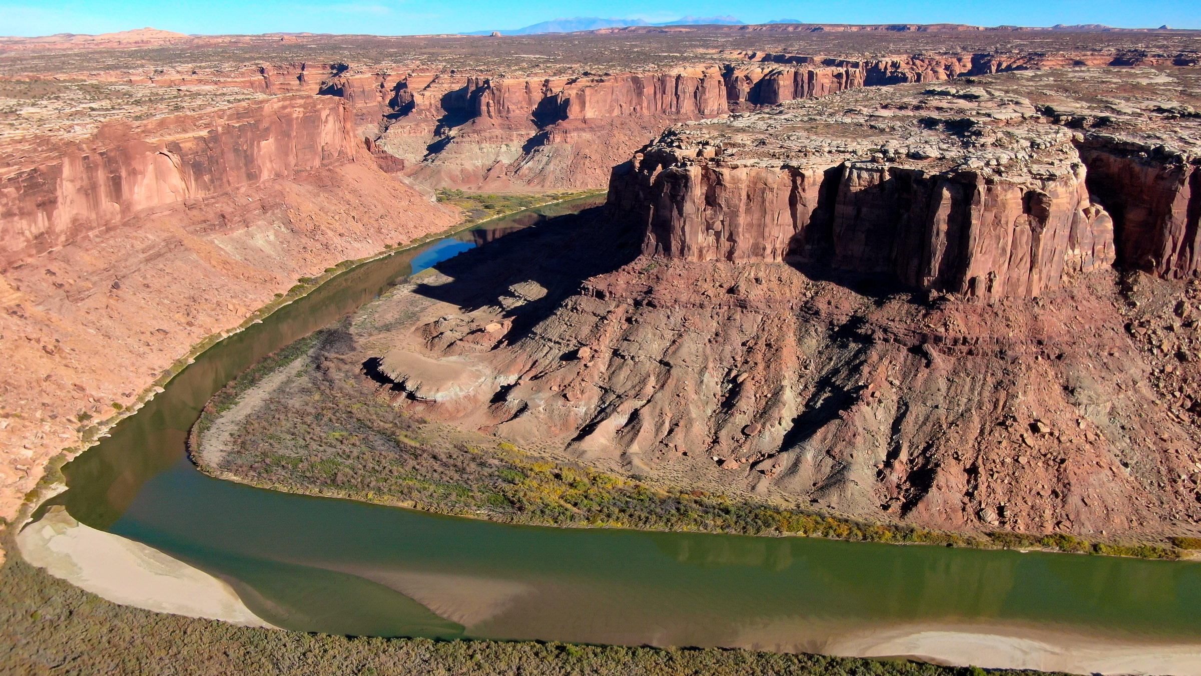
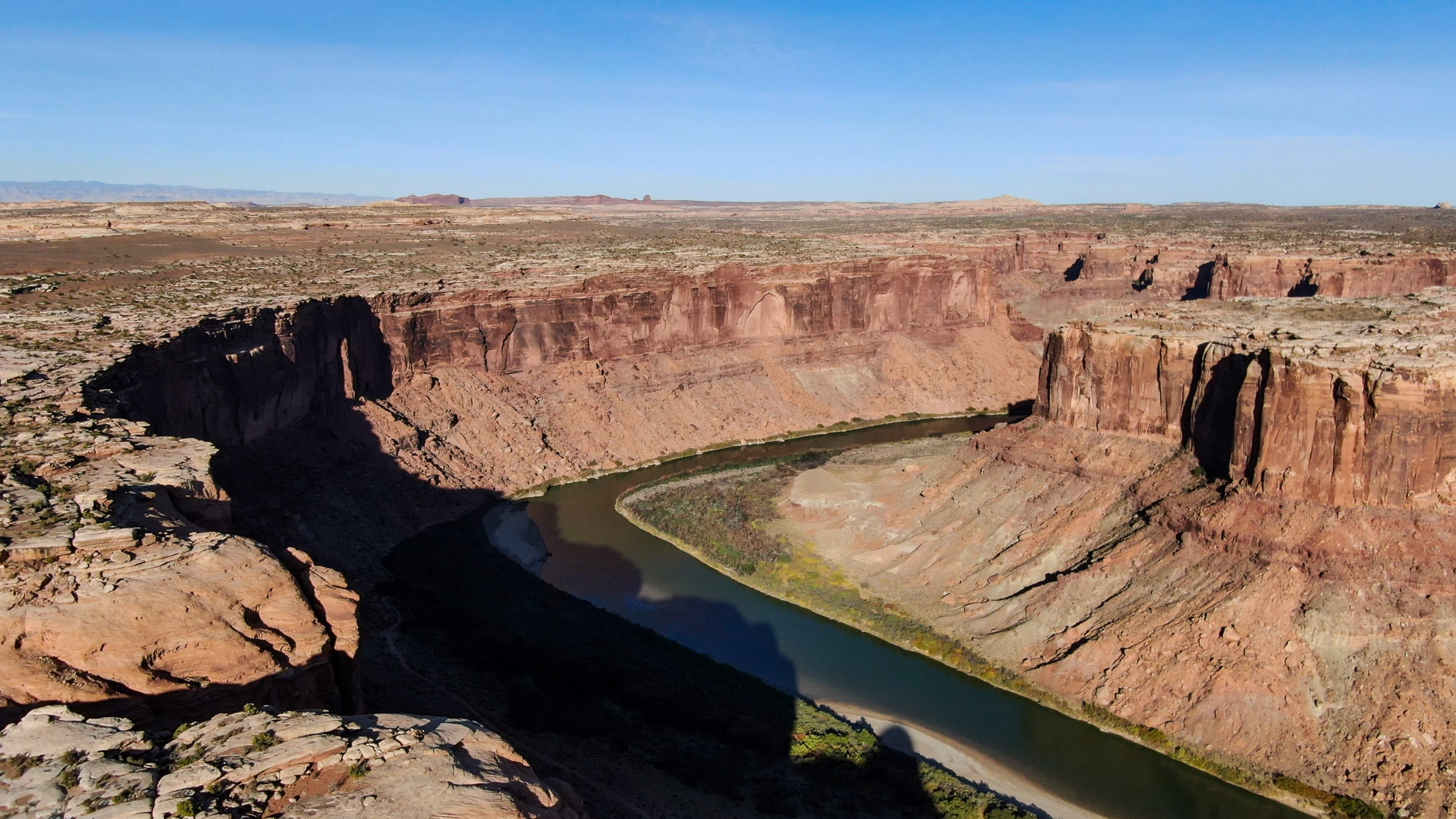
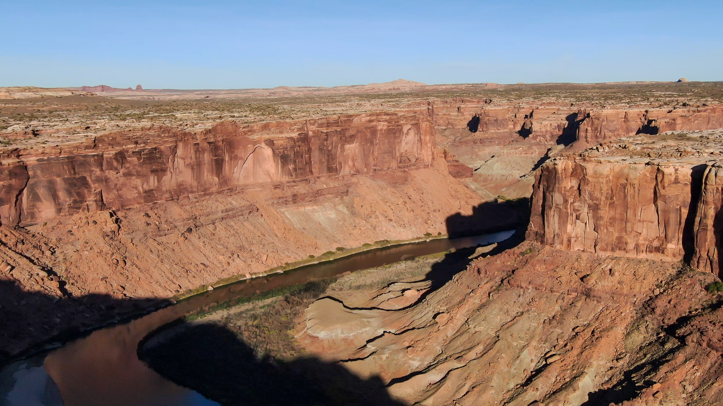
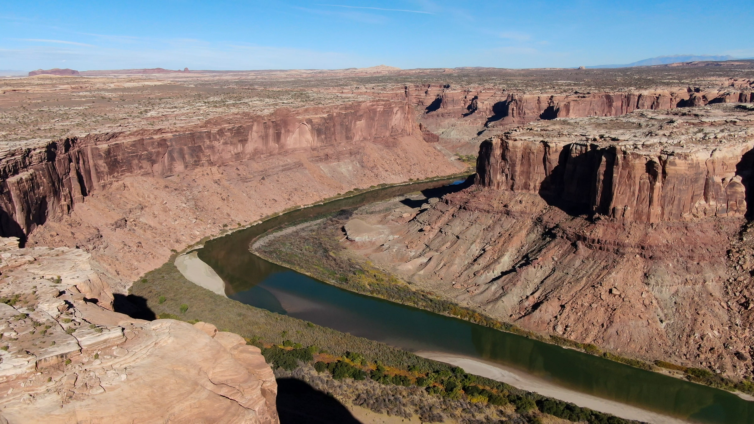
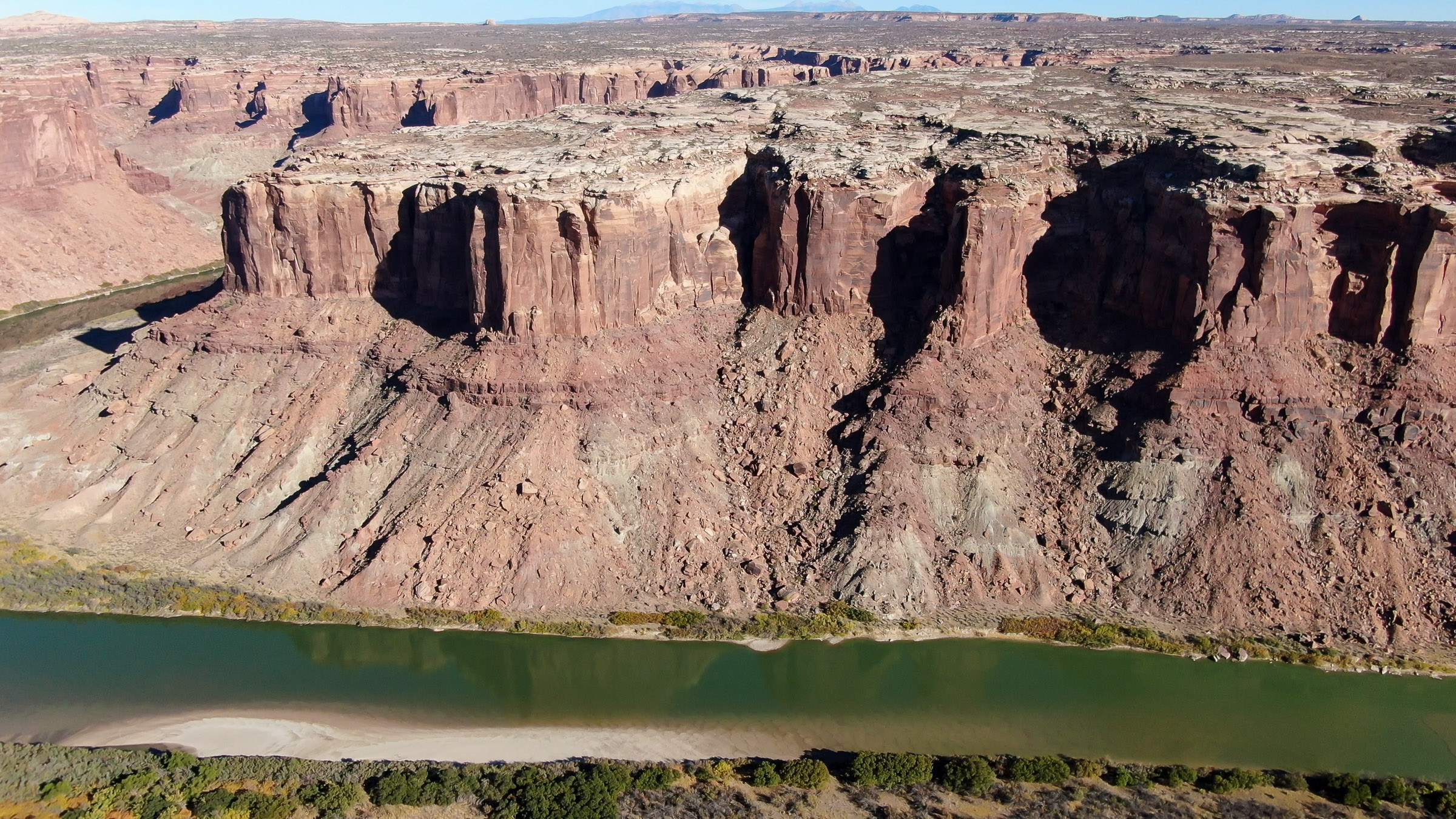
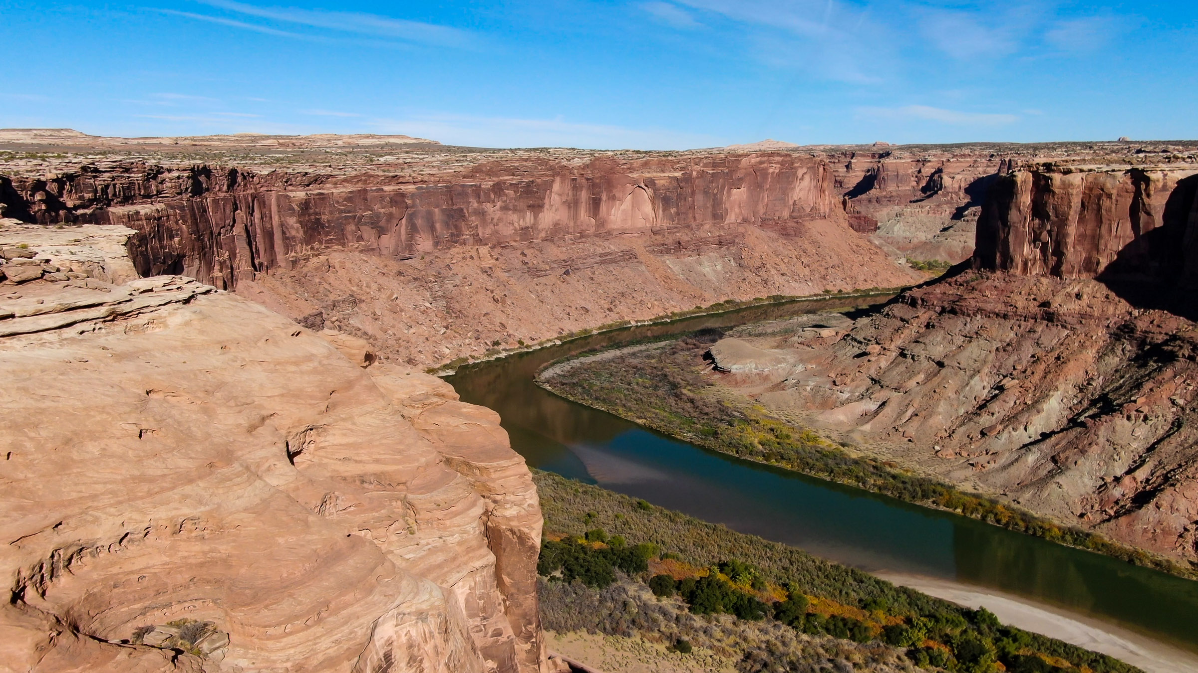
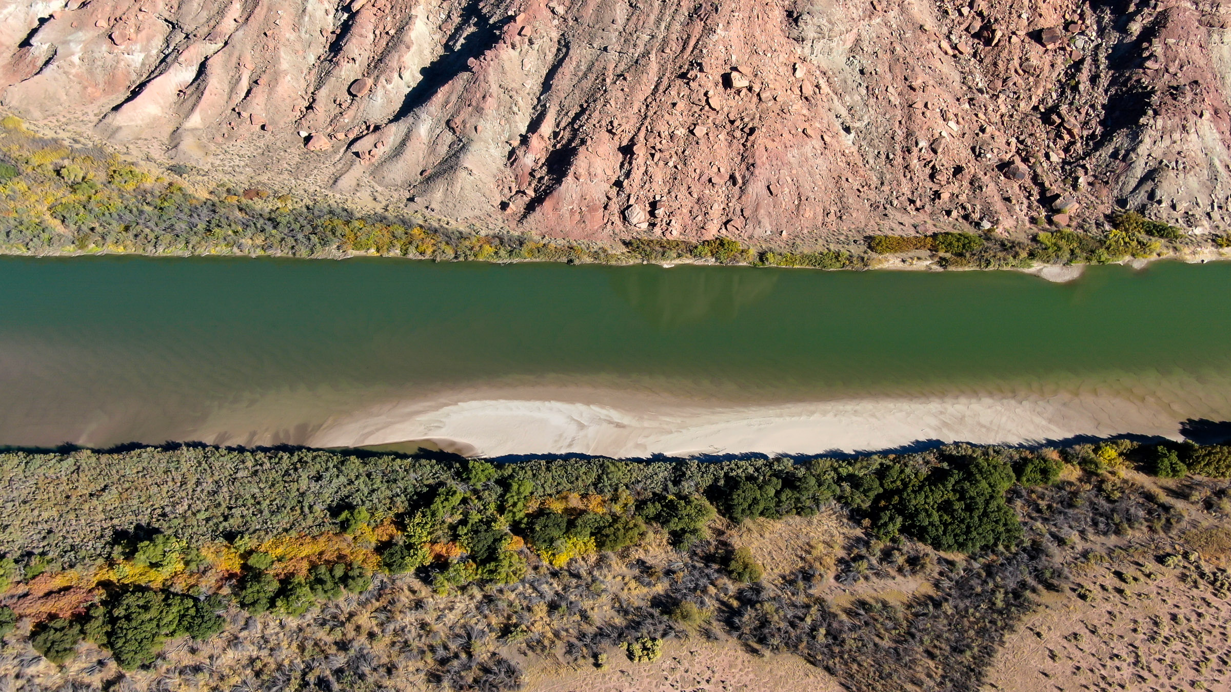
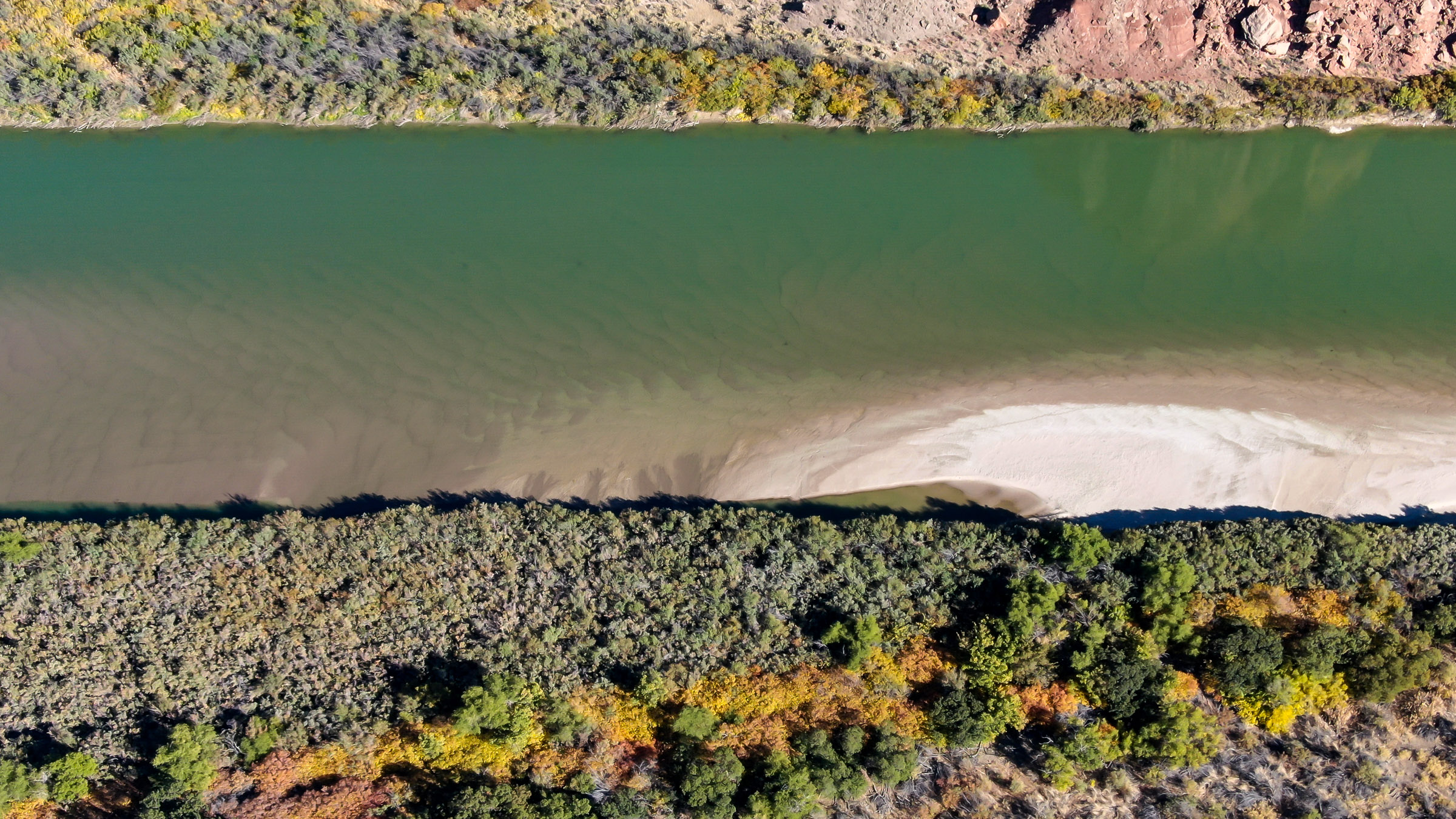
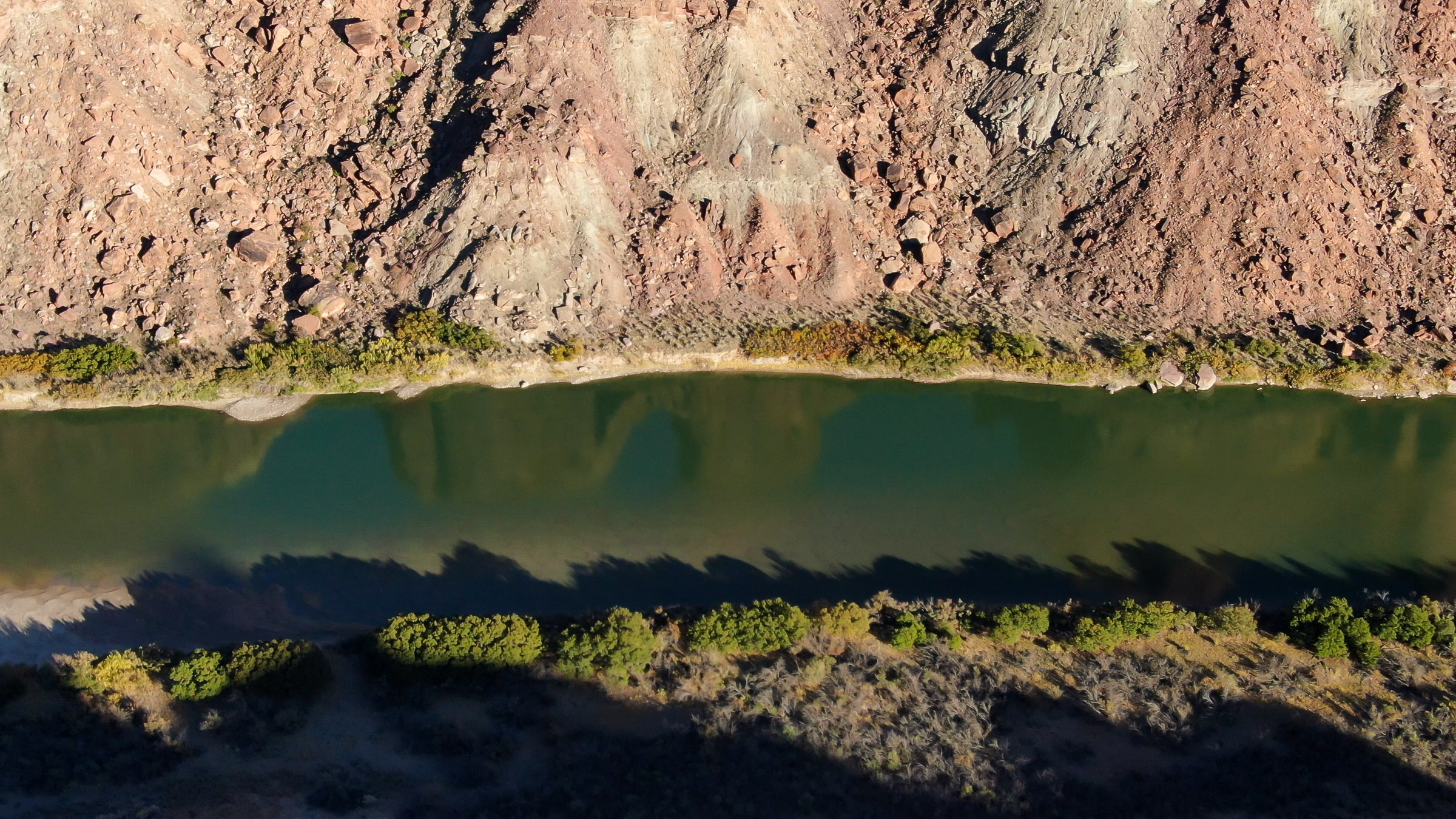
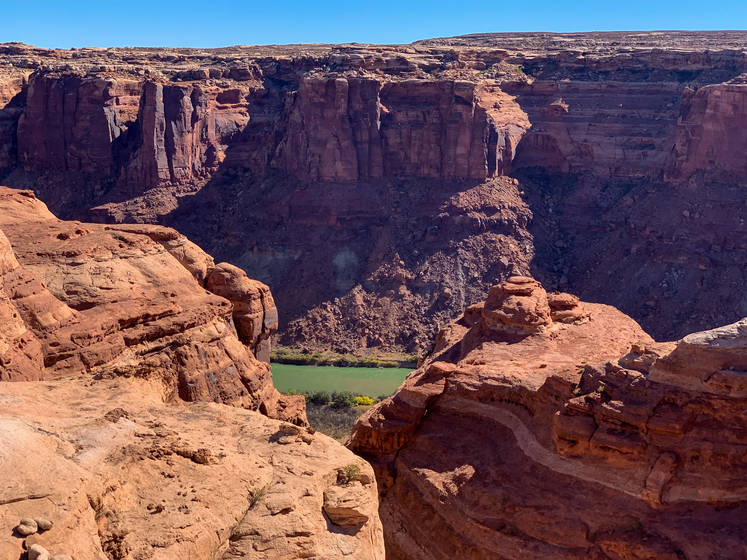
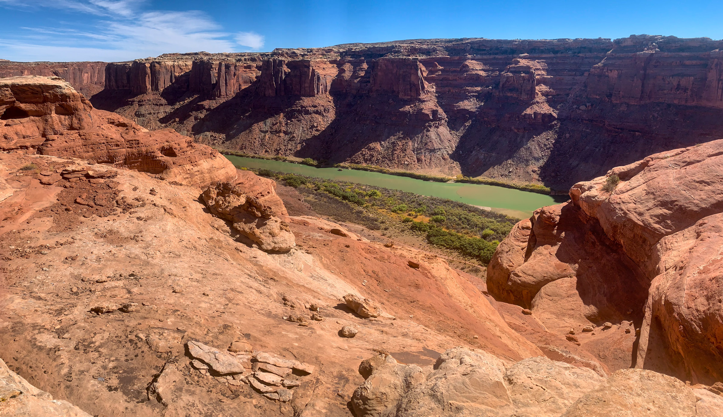
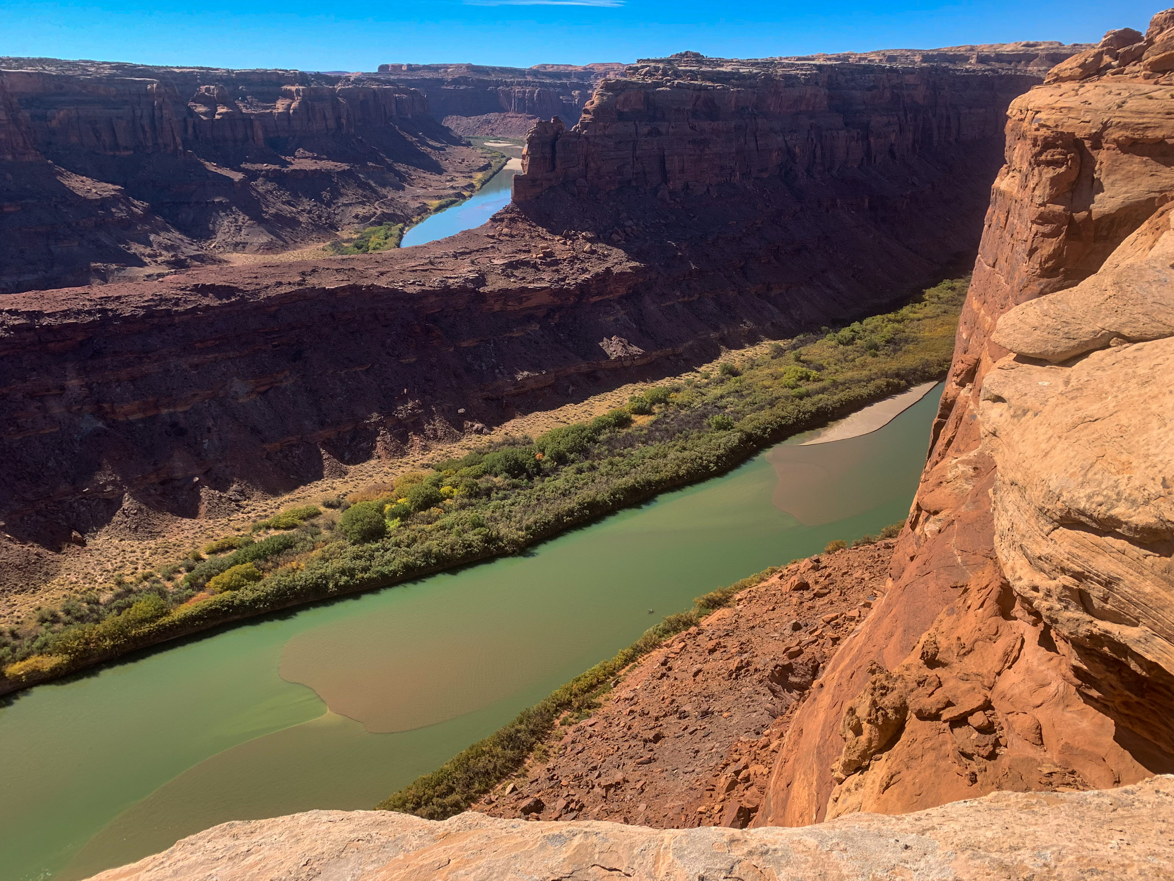
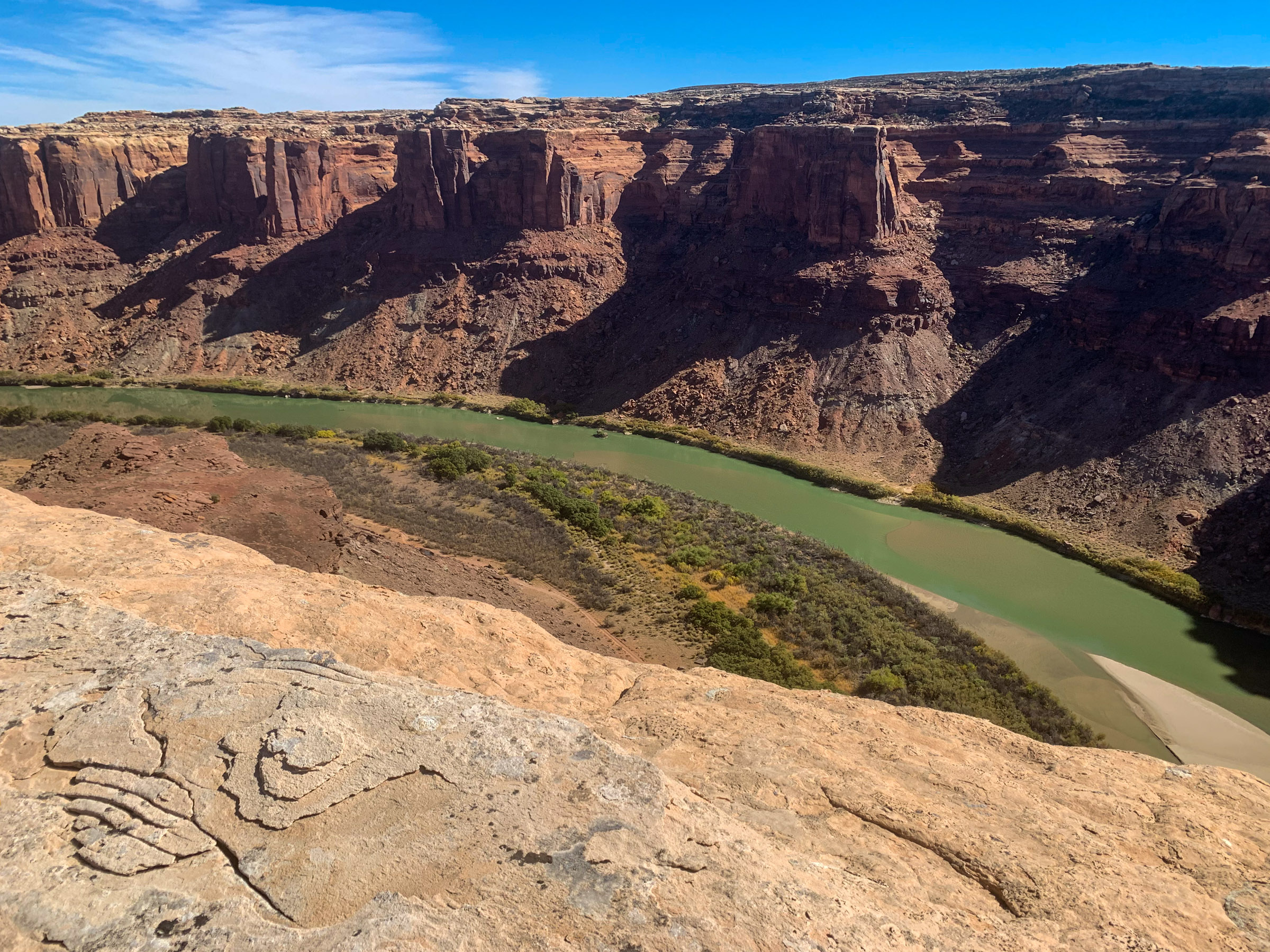
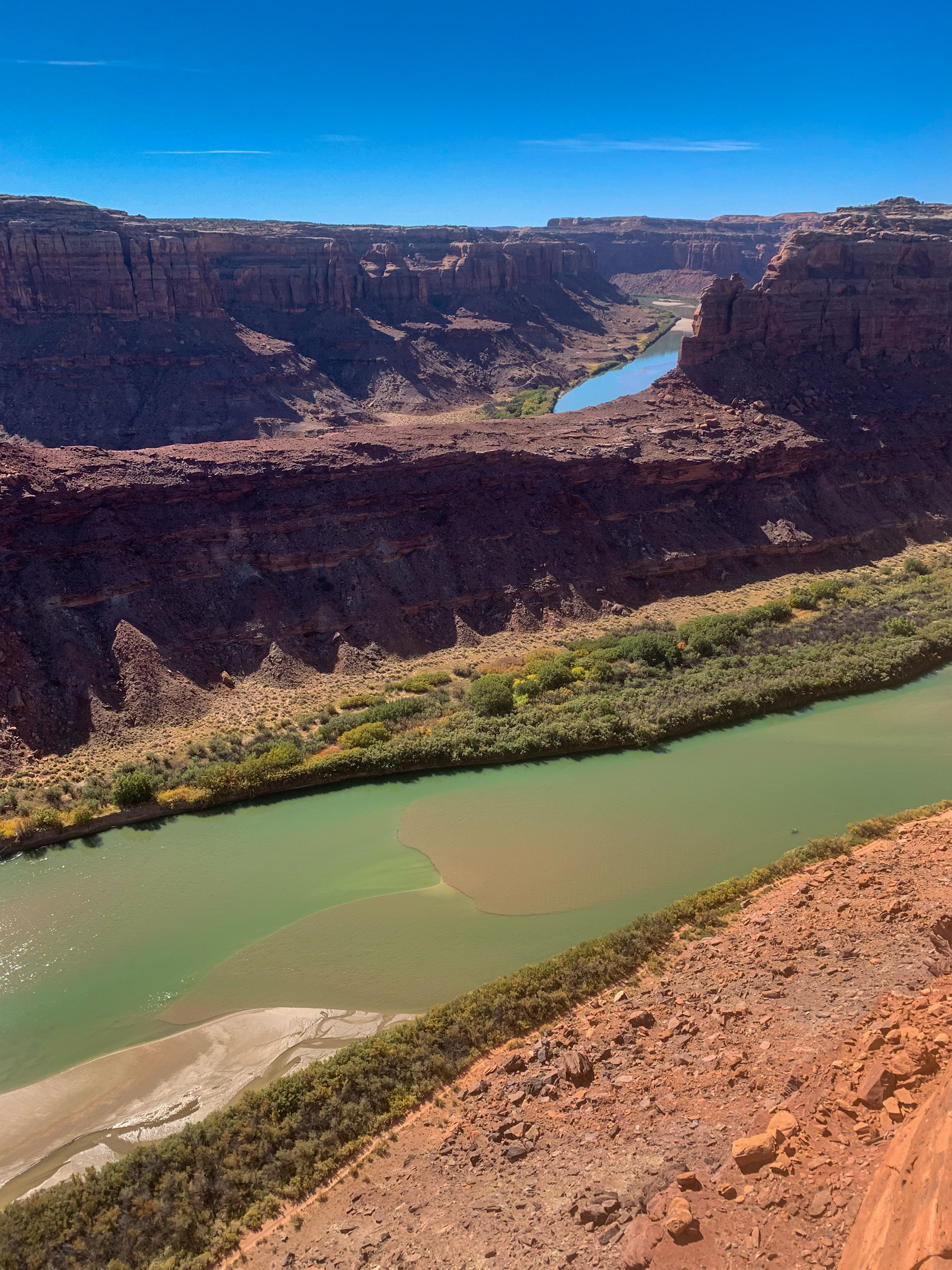
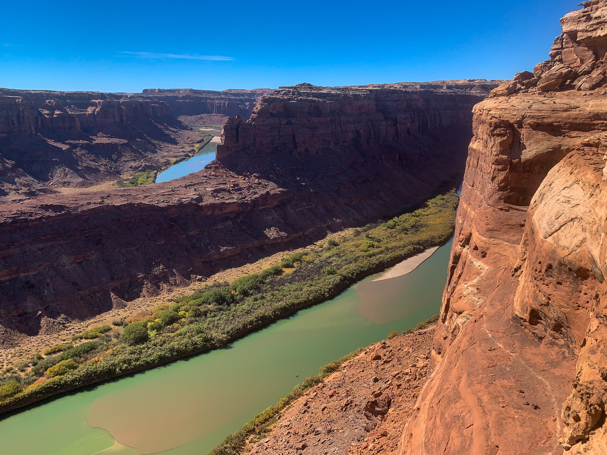
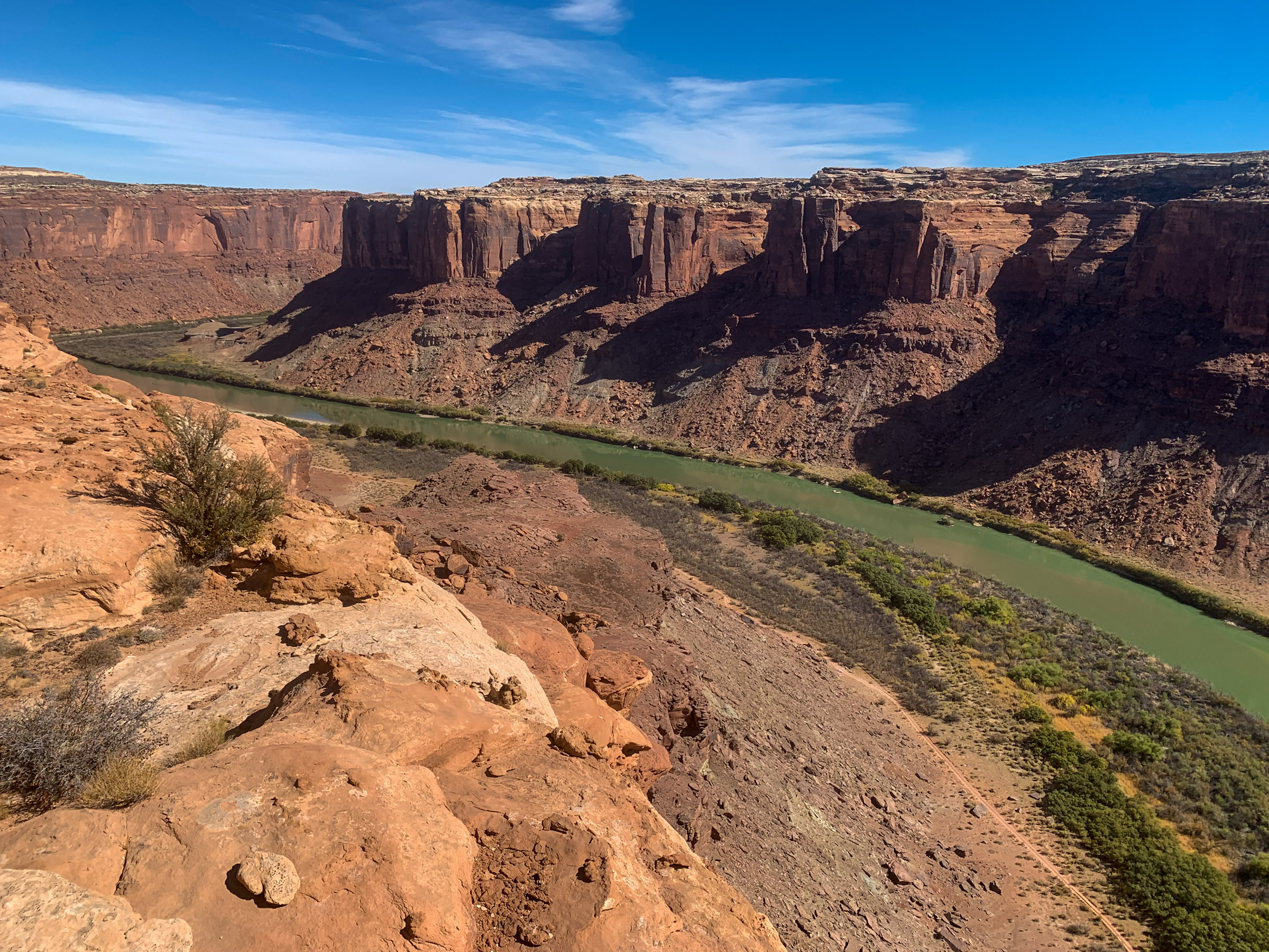
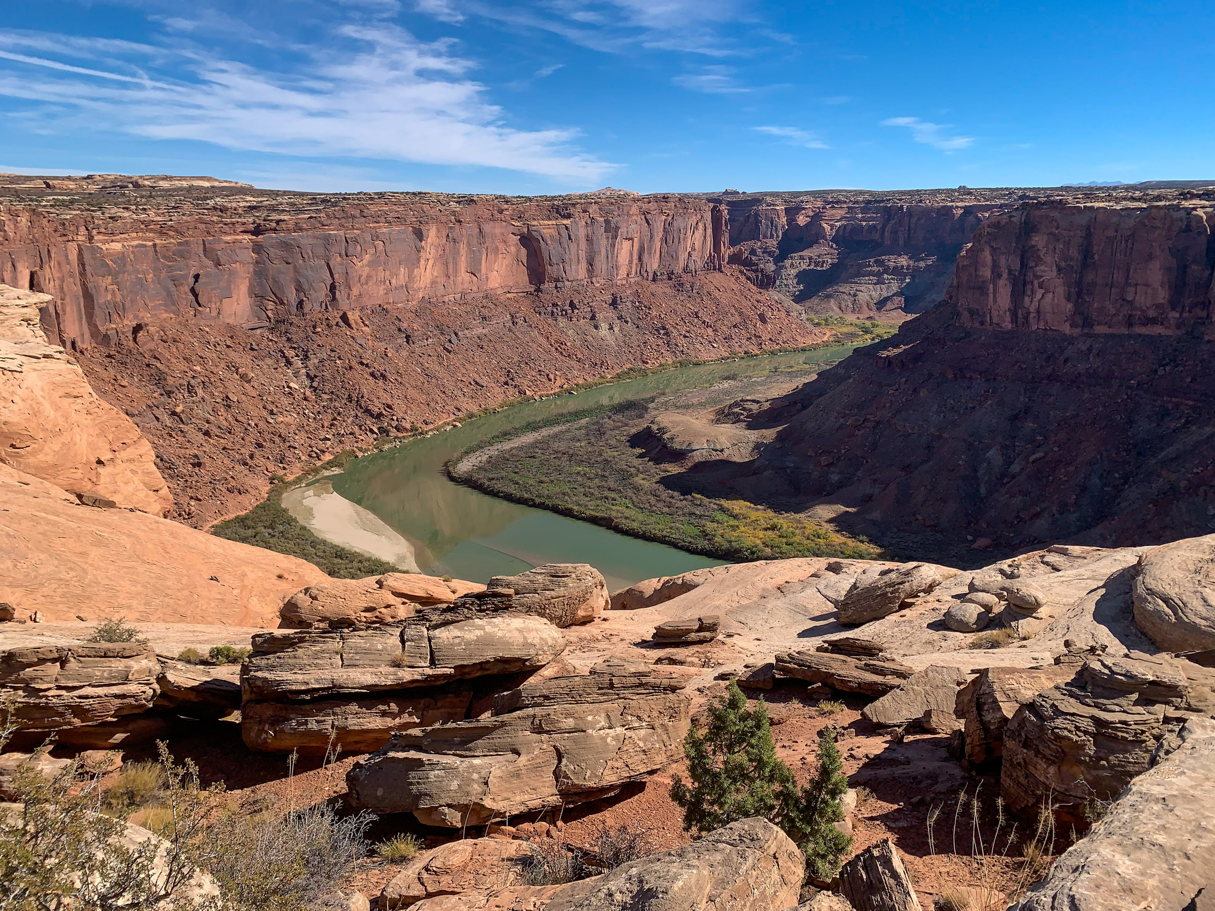
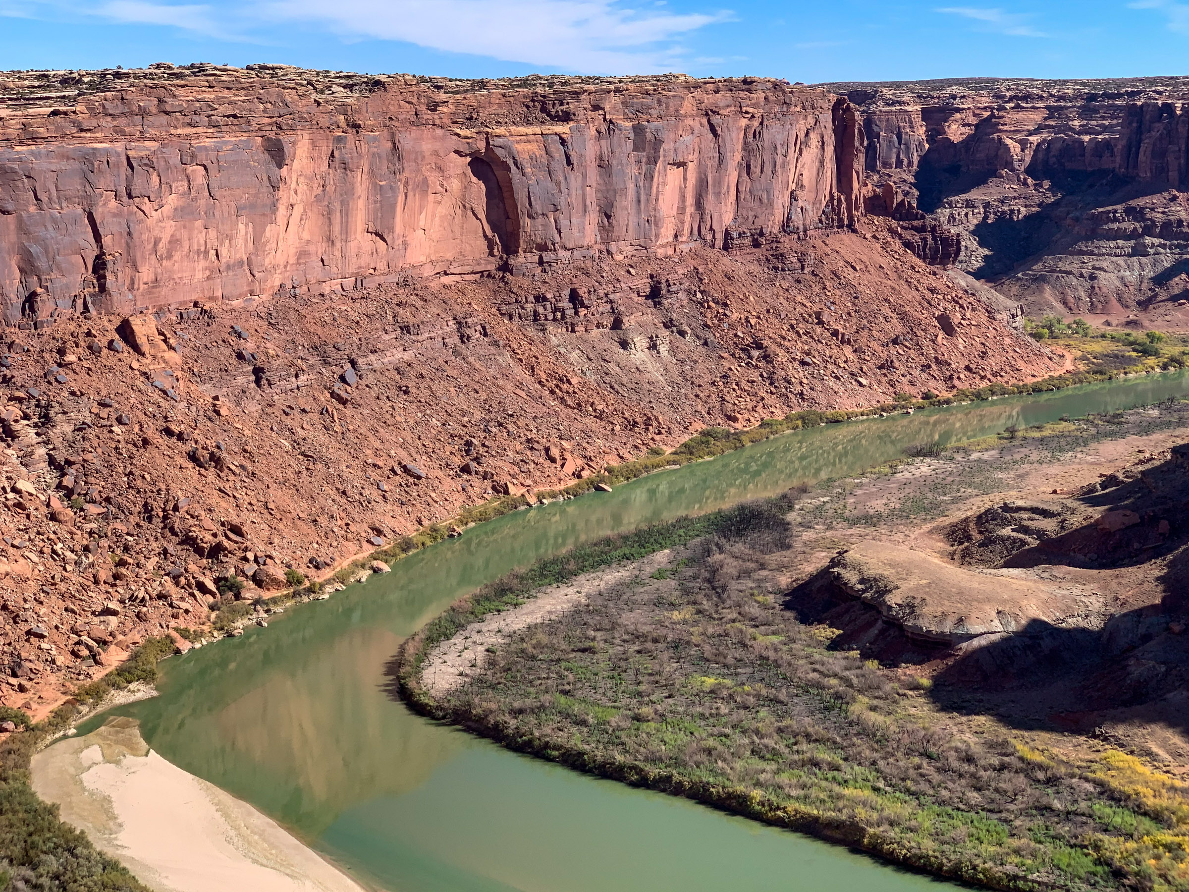
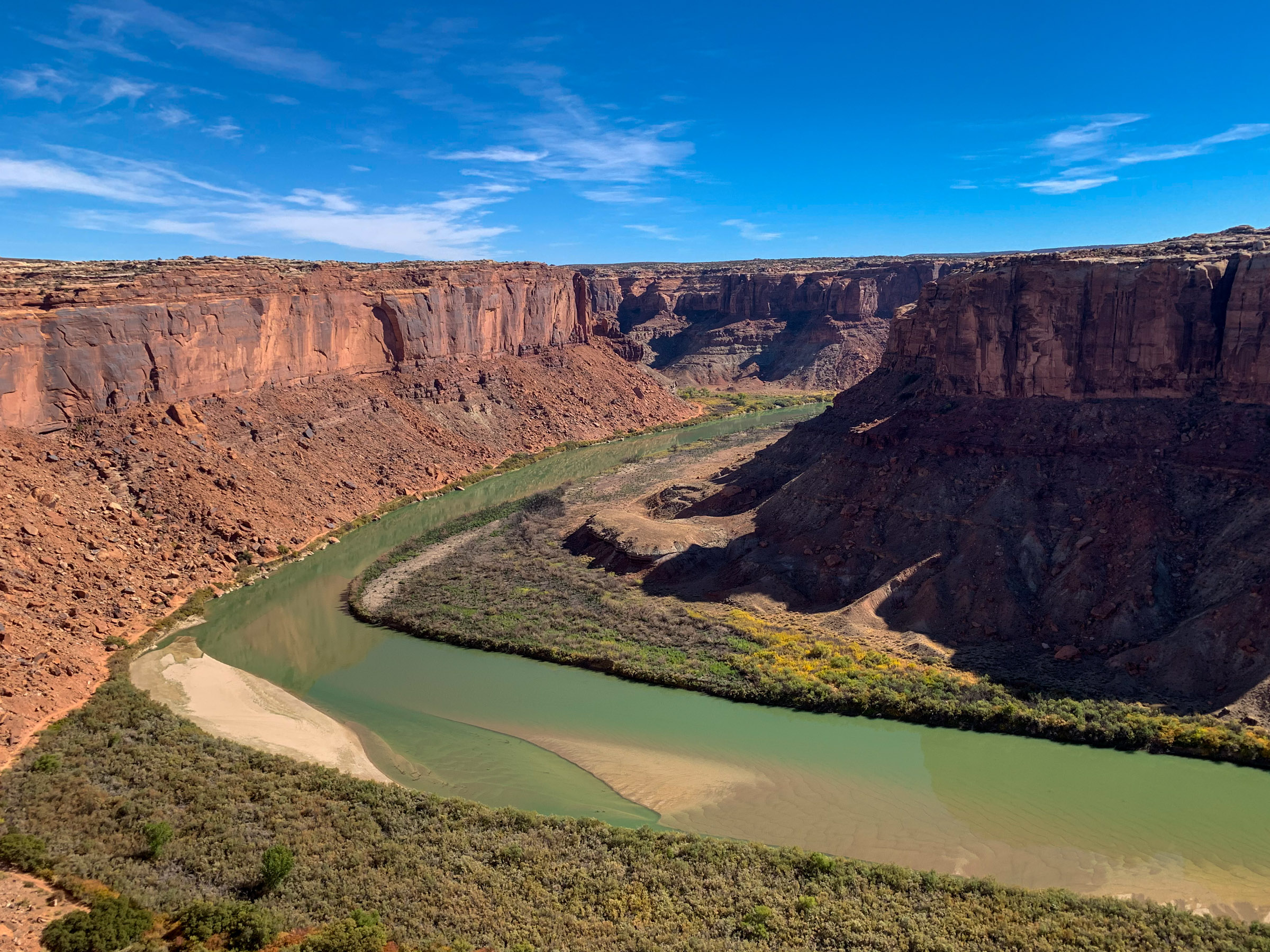
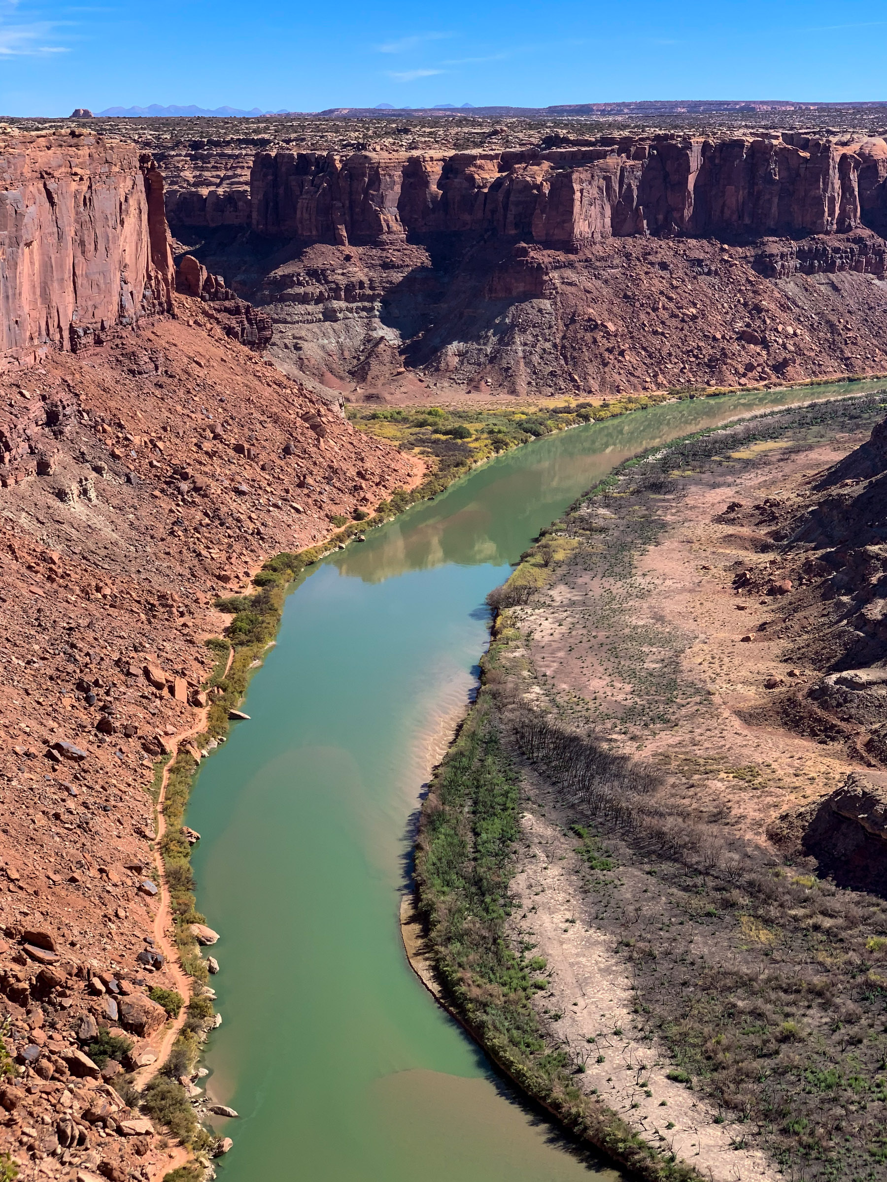
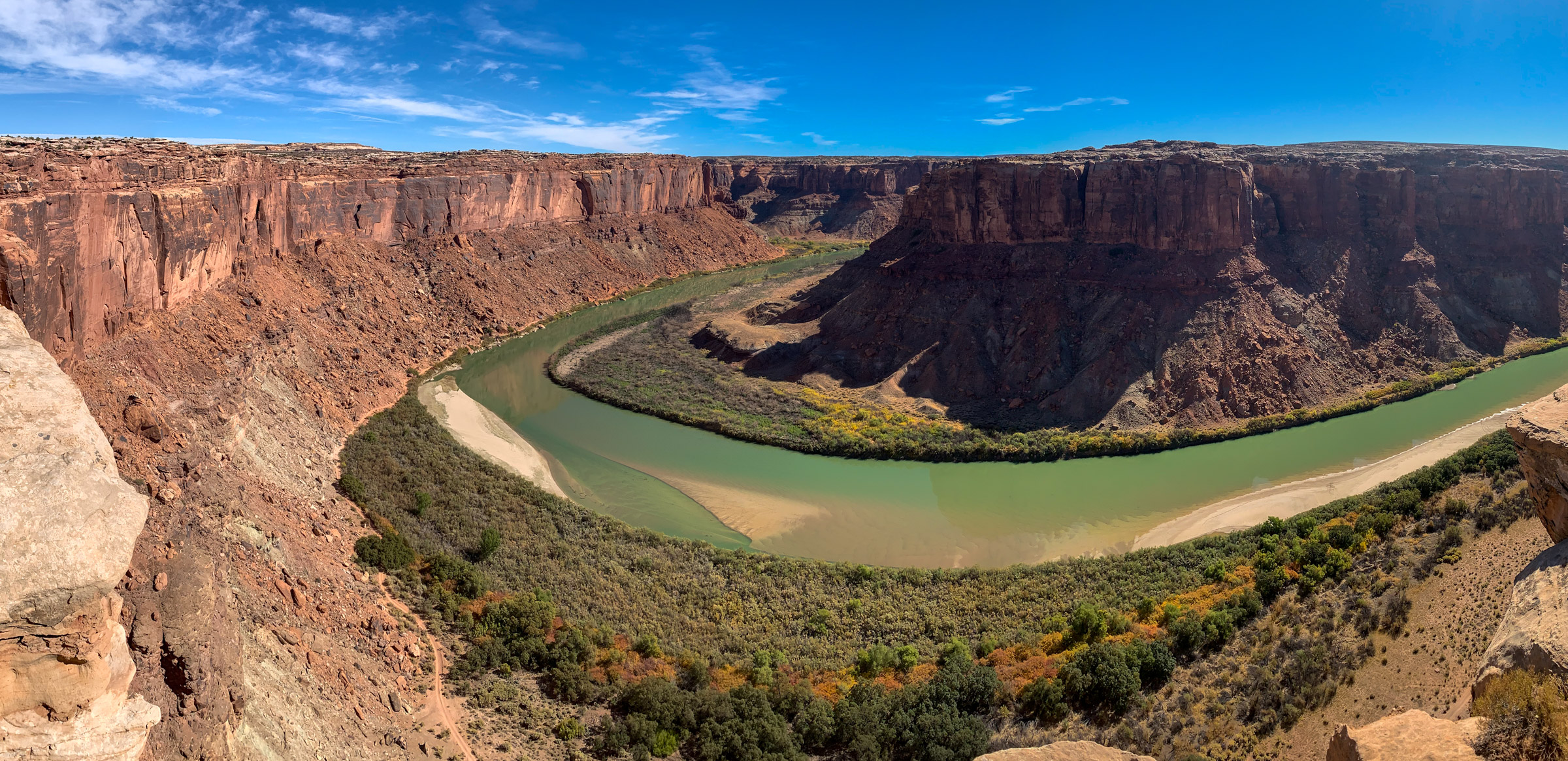
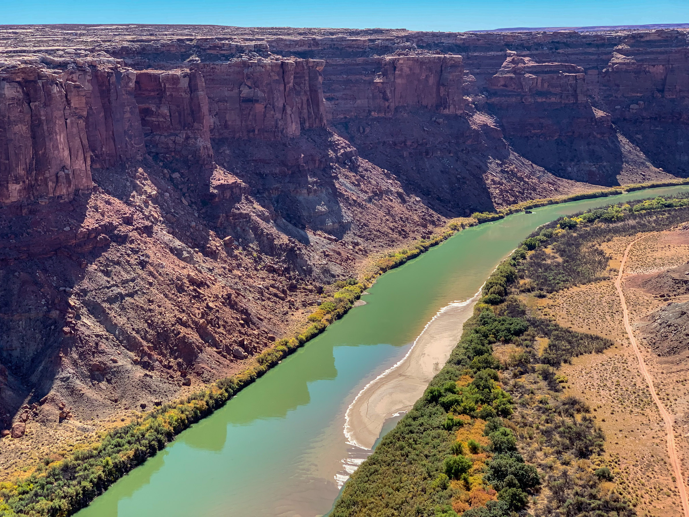
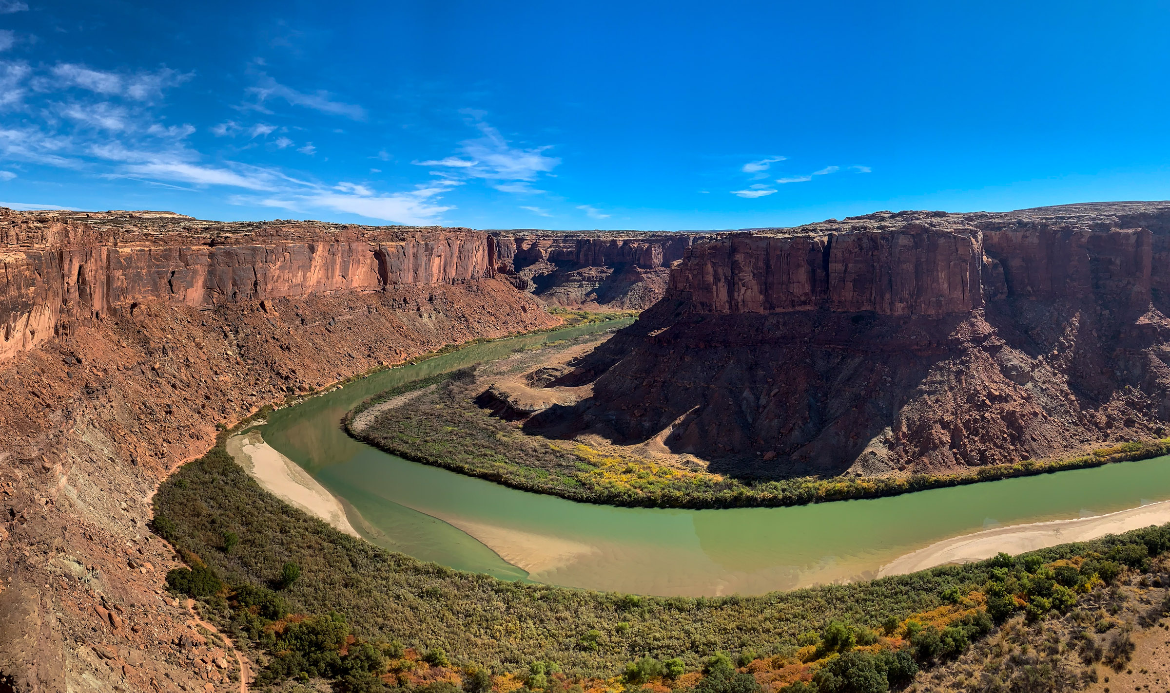
This page features drone footage and ground-based photos of the Green River, near Moab, Utah, and north of Canyonlands National Park.
The Green, which begins in Wyoming’s Wind River Range, is the most significant tributary of the Colorado River. These videos and photos show the Green around Bowknot Bend, named by explorer and geologist John Wesley Powell for the river’s circuitous route.
Learn more about the Green River in Heather Hansman’s book Downriver: Into the Future of Water in the West.
| Date | October 16-19, 2020 |
| Location | Green River near Moab, Utah (map) |
| Photographer | Mitch Tobin |
| Organization | The Water Desk at the University of Colorado Boulder |
| Rights | Free to reuse under Creative Commons license, with credit to “Mitch Tobin/WaterDesk.org” |
Selected images from the gallery
Click to enlarge


To use these images
Please read and consent to the terms and license below for access to the download page.
The Water Desk’s photo and video resources are part of our efforts to aid and enrich news coverage of Western water issues. Our imagery is shot by professional photojournalists and is available for free reuse under a Creative Commons noncommercial license.
To help us continue to offer this free material, we ask that you please:
To help us continue to offer this free material, we ask that you please:
- Credit the original photographer and the Water Desk as the source
- Email us a link to the published story at waterdesk@colorado.edu
- Consider sending The Water Desk your ideas for future content that we could add to the library
- Keep supporting professional photojournalists by hiring them for assignments
All of the content in our multimedia library is available for free download and reuse under a Creative Commons license.


