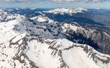
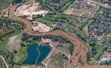
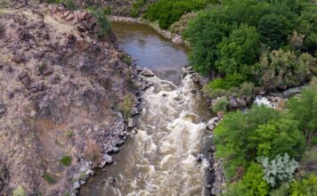
This page features drone footage and still imagery of the Colorado River near Bond, Colorado. From Kremmling to Dotsero, the Colorado River passes through rugged country, but a road and railroad tracks run close to the river for much of the way. For more drone footage of the area, near Radium and Gore Canyon, see our earlier post.
View this gallery for high-resolution downloads »
| Date | December 23, 2019 |
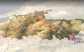
| Location | Colorado River near Bond, Colorado (map) |
| Photographer | Mitch Tobin, FAA Remote Pilot Certificate #4002345 |
| Organization | The Water Desk at the University of Colorado Boulder |
| Rights | Free to reuse under Creative Commons license, with credit to “Mitch Tobin/WaterDesk.org” |
All of the content in our multimedia library is available for free download and reuse under a Creative Commons license.


