
Western wildfires start and spread because of a whole host of factors—wind, temperature, drought, forest health. But scientists are finding that the most important indicator of where the next big fire might ignite isn’t held in the trees themselves, but in the soil their roots are buried in.
Recent studies demonstrate how soil moisture data can help wildfire experts predict a potential fire’s location and severity. Those studies could eventually aid in developing more precise forecasts for fires across the country.
This link, between how moist the ground is under a forest or grassland and fire risk, is gaining more traction among scientists due to an increasingly expansive network of monitoring equipment.
In Colorado’s Roaring Fork Valley, 10 remote soil moisture sensors transmit data hourly, measuring the amount of water in the soil at that specific location and a certain depth, so scientists and researchers can better understand the ecosystem.
In the Rocky Mountain region of northern Idaho and western Montana, the U.S. Forest Service is working to install soil moisture networks at existing remote weather stations to increase the federal government’s observational capacity.
In the Oklahoma grasslands, 120 monitoring sites make up a network for automated soil moisture data collection that spans the whole state, collecting data once every 30 minutes. The network, called the Oklahoma Mesonet, is one of the densest monitoring networks in the world, and is managed in collaboration between the University of Oklahoma, Oklahoma State University and Oklahoma Climatological Survey.
In Colorado’s Garfield County, the Middle Colorado Watershed Council uses soil moisture data to better understand wildfire risk for their mountain communities. The council uses available satellite data as an indicator for wildfire risk through drying trends and overall watershed health.
“It doesn’t look like a lot on the surface,” said Stephanie Kampf, professor of ecosystem science and sustainability at Colorado State University. The sensors are buried underground, collecting soil moisture data from different depths across the West.
But what may not look like much from the surface is a developing network of soil moisture data that could prove invaluable in predicting, and potentially preventing, some of the West’s most destructive fires.
A growing link
The West is in an era of megafires. Decades of fire suppression have put the region in a fire deficit. Fire is an important part of the landscape, but changing climate conditions foster more severe and destructive burns.
Soil moisture data could help better predict the location and severity of these potentially catastrophic wildfires.
“There is growing acknowledgment in fire science that soil moisture is really important,” said Zachary Holden, research ecologist for the U.S. Forest Service and contributor to a 2025 research study that explored soil moisture as a strong predictor for wildfire.
Holden helped create a forecasting model that used archival soil moisture data to estimate wildfire growth from 140 wildfires in the U.S. northern Rocky Mountains from 2012 to 2021, later expanded to include Oregon and Washington.
The forecasting model, now publicly available, aims to be a more detailed tool for prediction as climate change alters our foundational understanding of ecosystems, a model that will combine weather and hydrology.
In addition to Holden’s research, which focuses on the U.S. northern Rocky Mountains, a number of other researchers in the West are linking soil moisture with wildfire prediction, finding that soil moisture and hydrologic conditions are an even stronger predictor for wildfire than drought and weather conditions.
“You can predict whether something is going to be wet or dry, just looking at precipitation patterns, but soil moisture itself gives you the combination of how much water came in, and then how much water went back out through evaporation,” Kampf said.
A 2023 study aimed to better understand the relationship between soil moisture and wildfire risk. According to Erik Krueger, contributor of the study and plant and soil sciences researcher at Oklahoma State University, wildfire researchers were collecting data related to vegetation fuel, fuel load and fuel moisture properties when the relationship between soil moisture and wildfire became clear.
“We just said, ‘Hey, we’ve got this soil moisture database, how can we use it to look at the relationship between when and where wildfires will occur?’” Krueger said.
According to Krueger, scientists have understood that there is a relationship between soil moisture and wildfire, but the data could not be found in one place. “There was no way to quantify [the risk] without the soil moisture data,” he said.
After combining the data, Kruger said, they could better understand wildfire risk.
Wildfire scientists have worked for decades without the soil moisture data that is now becoming available. “We can make their jobs a little bit easier, and make our wildfire prediction a little better,” Krueger said.
Applying the science
It’s not just scientists interested in this link between soil moisture and wildfire. Western land and water managers are seeing the benefits of the emerging fire indicator as well.
“Wildfire isn’t just a forest issue, it’s fundamentally a watershed issue,” said Kate Collins, executive director of Middle Colorado Watershed Council and the Colorado River Wildfire Collaborative in Garfield County, Colorado. “Watershed health and wildfire are just not siloed issues at all, they are inextricably linked.”
But wildfire prevention can be contentious, especially in places like Garfield County, which is considered a wildland urban interface, or WUI, where people live in areas affected by wildfire.
“We do need to have fire in our landscapes regularly,” Kampf said. Routine fire lessens the impact of excess dry fuels in an area, limiting the severity of the burn. And emerging as a tool to plan less severe burns, or prescribed fire, is soil moisture.
Prompted by the increased risk of severe wildfire, the Colorado River Wildfire Collaborative has shifted their focus to mitigation efforts, which include riparian restoration, mechanical thinning of vegetation, creating defensible spaces, and prescribed fire. Each of these efforts not only helps reduce wildfire risk, but also supports soil moisture retention.
The process of building a usable set of soil moisture data is just beginning. Using the data as a tool, particularly in relation to wildfire risk, is relatively new. Building a strong dataset not only takes time, but also additional resources that are still being pulled together.
A new approach’s limitations
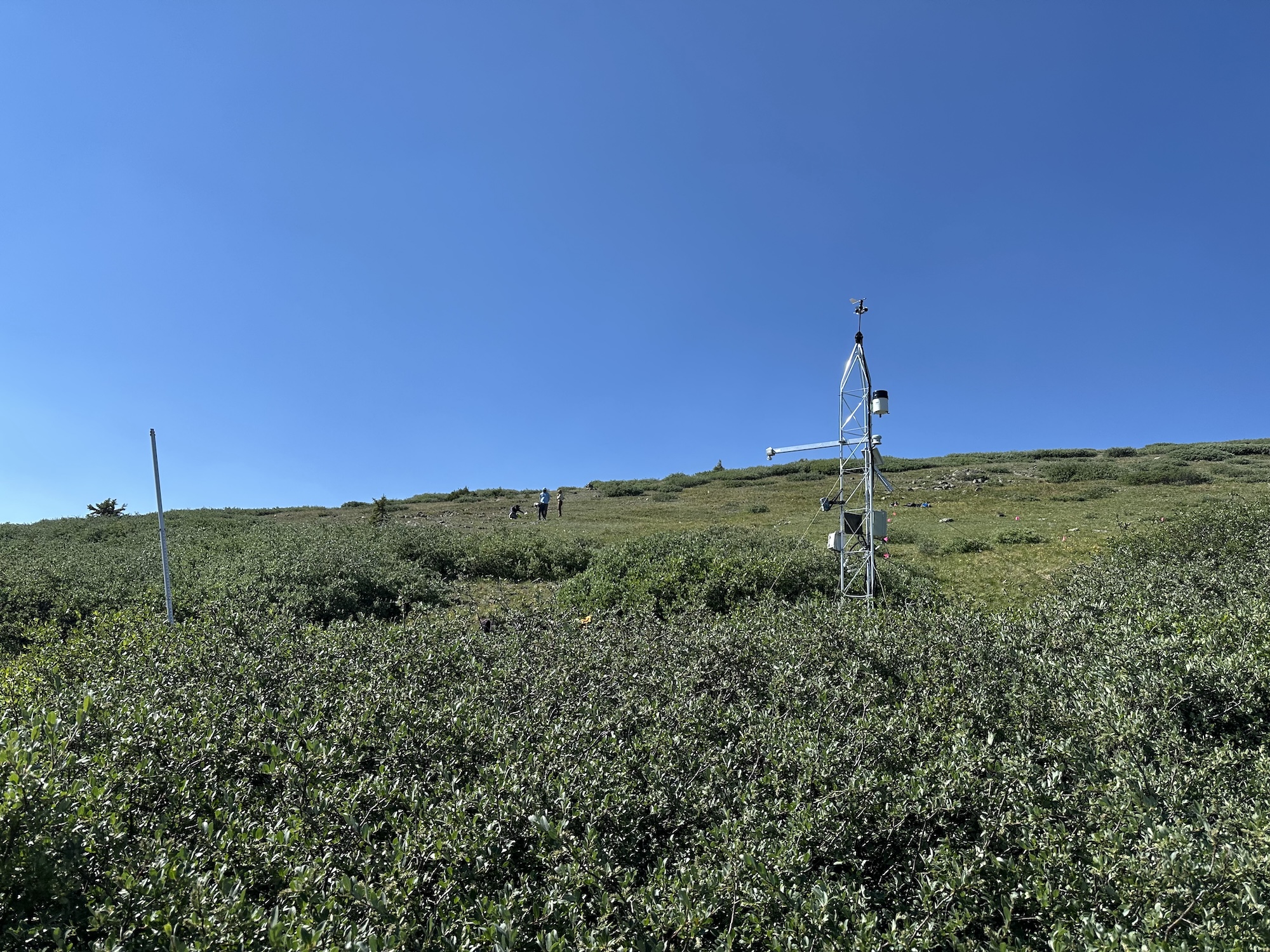
Sensors can only collect soil moisture data for the specific soil column they are inserted in, which brings other challenges.
“One is topography, so not just the elevation, but what aspect you are on and sloping around, and then you have the vegetation at that site,” Holden said.
In a high alpine area, soil moisture data collected at one point may not be representative of an entire region. How do you apply one finding across a shifting landscape?
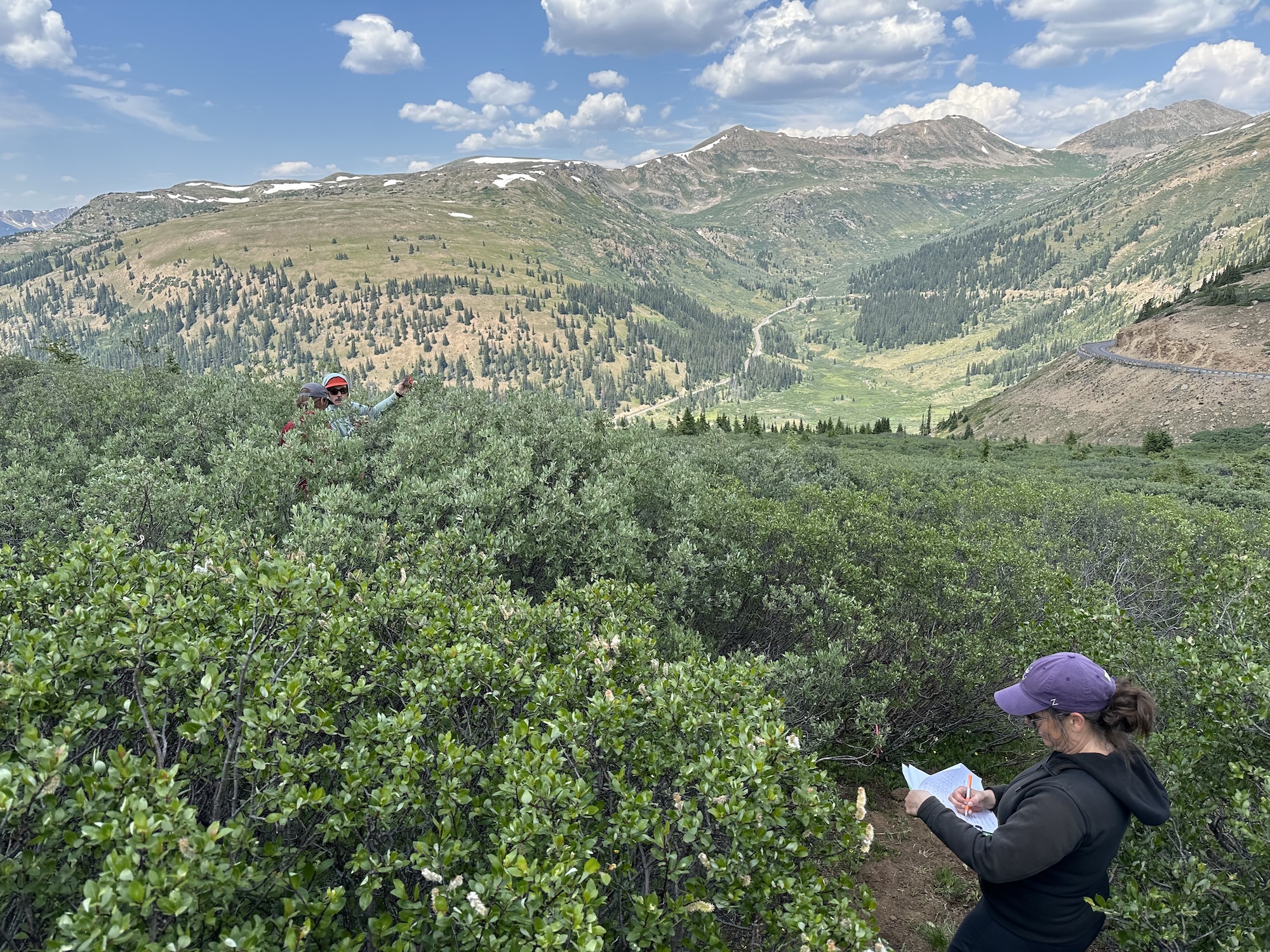
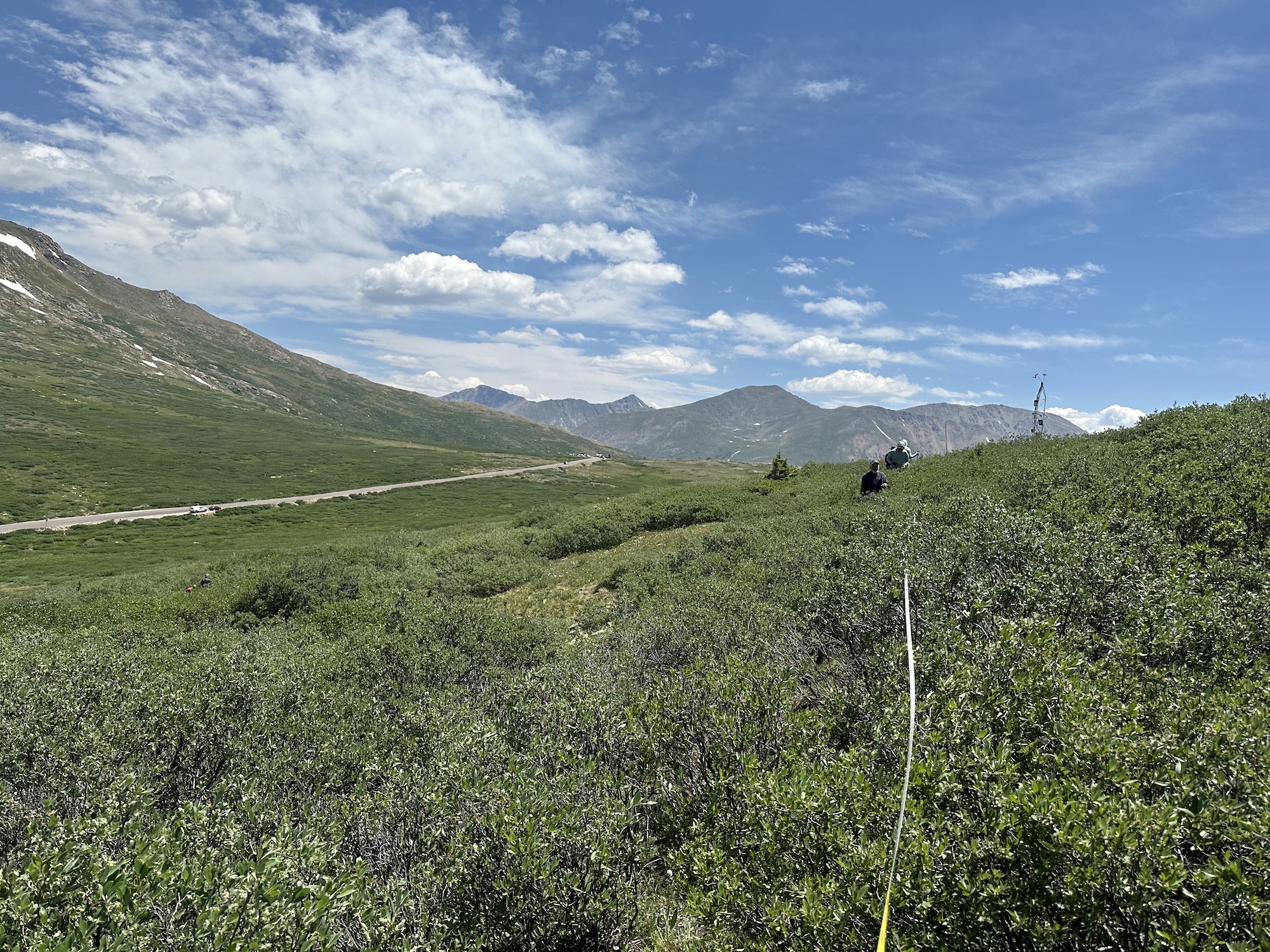
In July 2025, a team with Aspen Global Change Institute set out to answer that question. “Single point moisture data has value in that it can give you an insight into what’s happening in the soil across a watershed,” said Asa DeHaan, research technician at AGCI.
A single watershed has a wealth of different types of soils, especially in complex, mountainous regions like Independence Pass near Aspen, Colorado, where the data was collected. “This one spot is really dry. We need to go out and see, is this the case across a larger area?”
DeHaan and a group of 14 others embarked on a three-day mission of collecting soil moisture data with handheld probes every 5 meters in a 100 square meter area around the monitoring site. “There really was a high variability across this area, kind of what we hypothesized was going to be the case,” DeHaan said.
This idea is called “slope granularity.” AGCI’s continued research on slope granularity aims to understand if the patterns that were recorded among different vegetation types and in different alpine environments may extend to larger landscapes.
According to Colin Kinsman, a team member on the July 2025 trip, the group collected somewhere between 15,000 and 17,000 data points within the region. “All this was in an effort to see what the deviation is across the slope,” Kinsman said, information that is necessary to groups looking to better understand severe wildfire risk.
Expanding the networks
But the predictive ability of soil moisture monitoring hinges on there being robust measurements and data collection available to wildfire researchers and managers. Integrating soil moisture data is made more difficult by sparse observations across the West.
According to Helen Silver, co-director of the Integrated Rocky Mountain-region Innovation Center for Healthy Soils, IN-RICHES, and Quench soil moisture monitoring programs out of Colorado State University, advancing soil moisture as a tool for wildfire prediction means not only expanding the monitoring network, but also putting all the data in one accessible place.
Silver is working with the U.S. Forest Service to introduce more monitoring sites across Colorado to create a larger network of data. More data could help wildfire managers use the network as a tool for predicting wildfires. “We have a really large opportunity to install more sites that will help with prediction,” Silver said.
But maintenance and installation of such sites is expensive. Together with the Forest Service, Silver is working to bring in more money. “I would love to see federal funds and state funds put towards this,” she said.
But getting the data, having the data and using the data are all separate issues. “What we need is a few champions, a few wildfire scientists that are champions for using this practically, for implementing these new tools,” Krueger said.
Ultimately, soil moisture monitoring can’t predict with total certainty where a wildfire will begin. But Krueger said it could give an additional boost to forecasts. Is that worth the investment? “If it’s your house that is downwind from where the fire is, it probably is,” he said.
This story was produced and distributed by The Water Desk at the University of Colorado Boulder’s Center for Environmental Journalism.


