
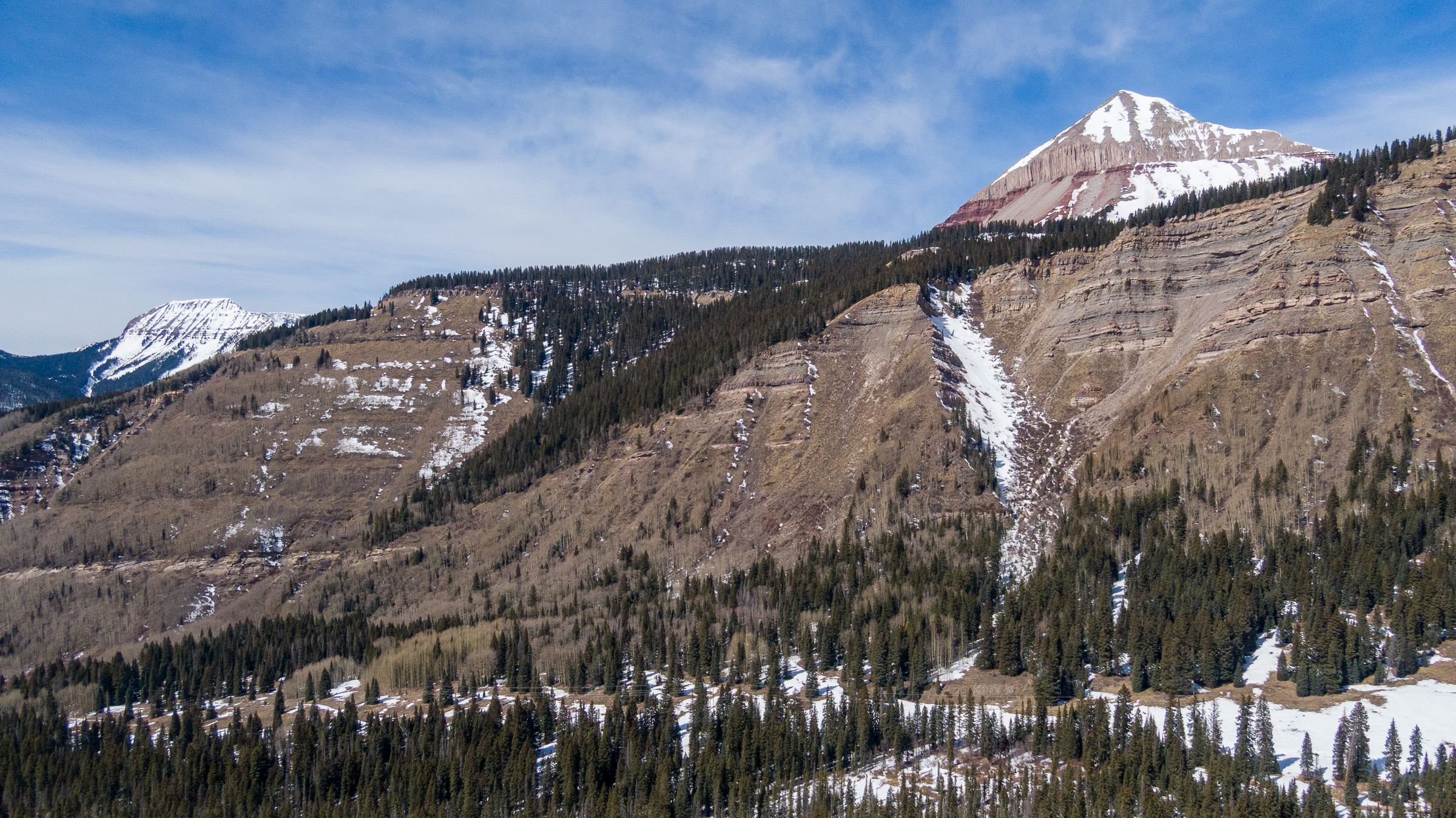
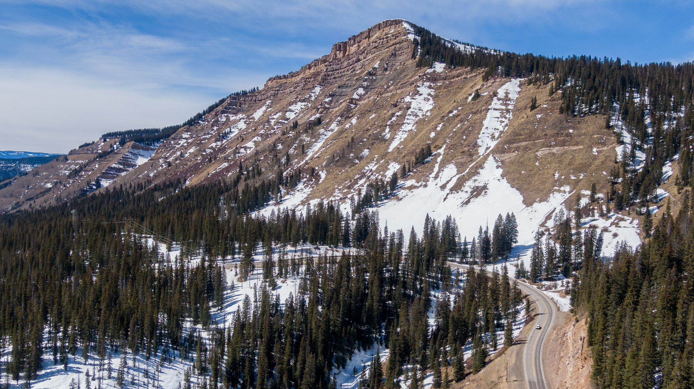
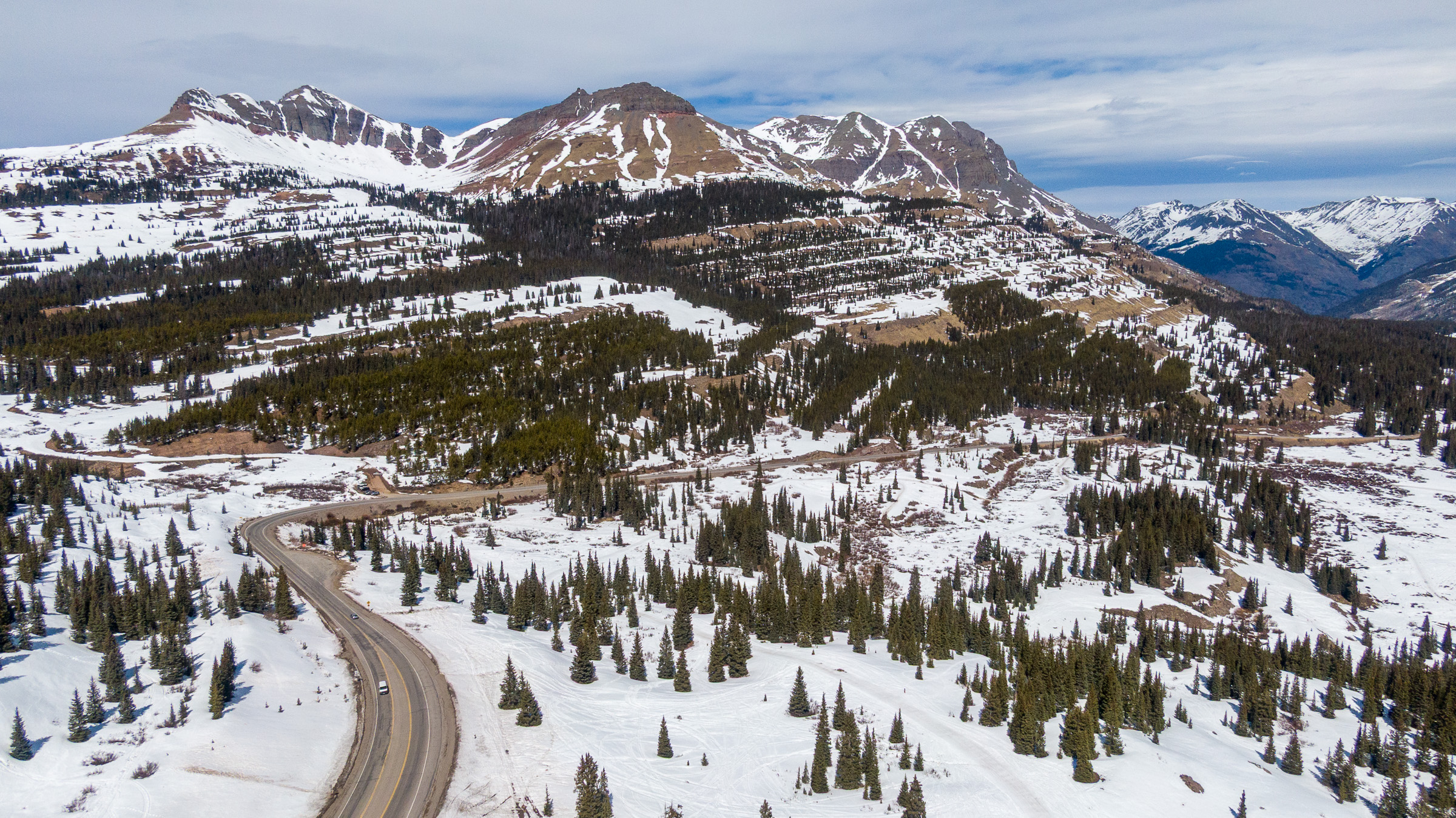
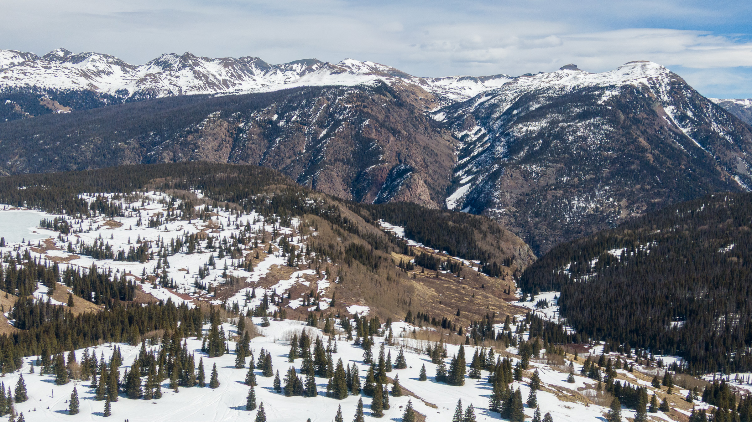
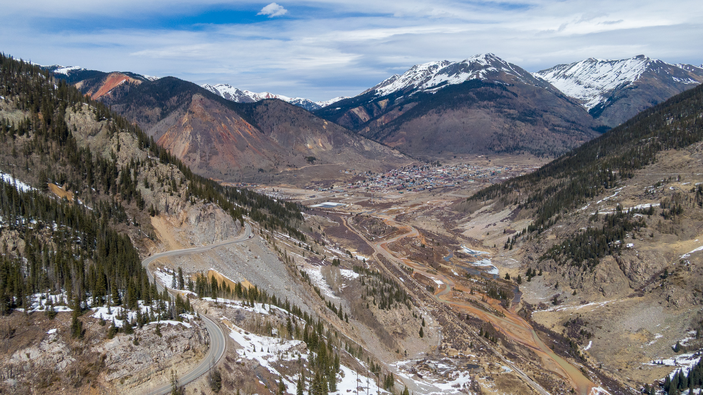
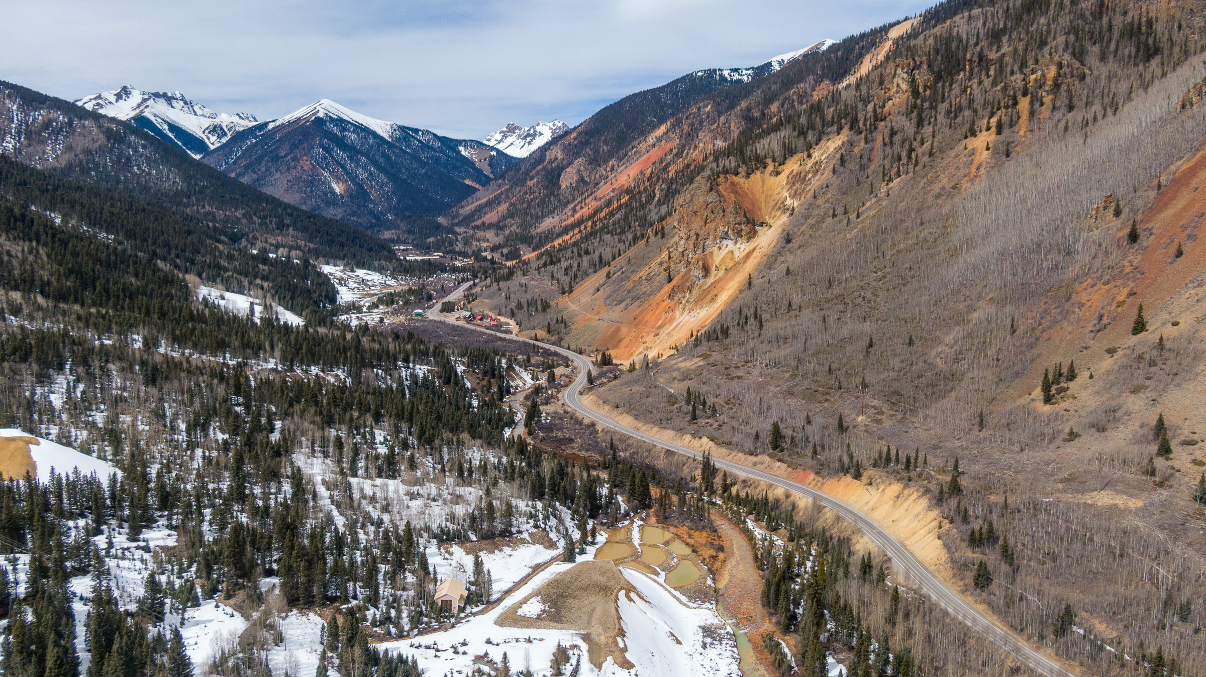
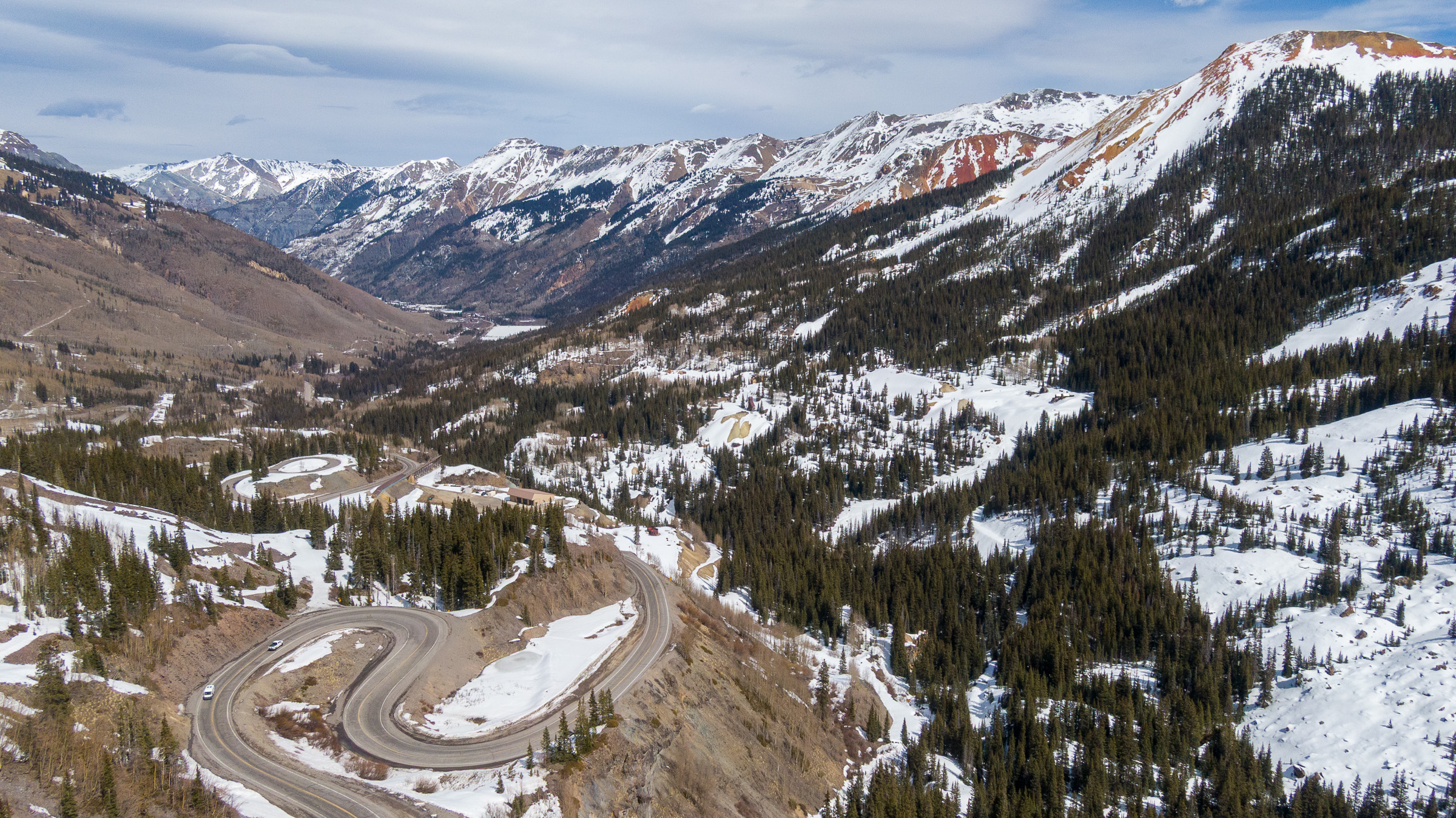
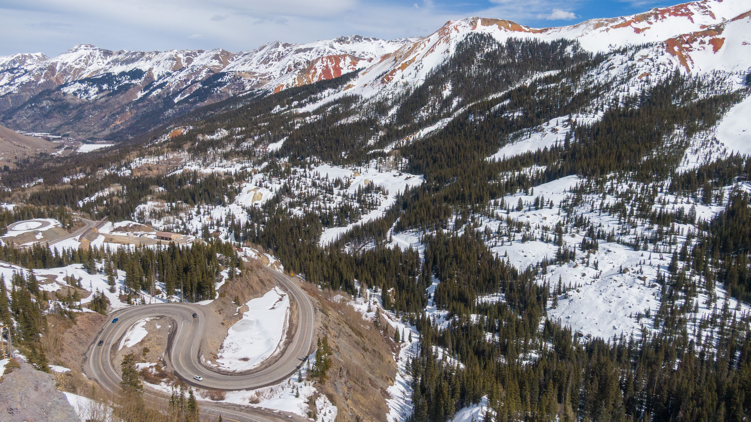
This page in our free multimedia library features photos of the record-low snowpack in southwest Colorado along U.S. 550, between Durango and Ouray.
Like the rest of Colorado, the southwestern corner of the state had thin snow cover in the 2025-2026 winter. These photos were captured along a stretch of highway that crosses over three mountain passes—Coal Bank, Molas and Red Mountain—that are all above 10,000 feet.
For more on the impacts of Colorado’s snow drought, see this story by The Water Desk’s Annie MacKeigan.
For photos of the snowpack in the San Juan Mountains during an above-average year, see this page.
| Date | March 14, 2026 |
| Location | Between Durango and Ouray, Colorado (map) |
| Credit | Mitch Tobin/The Water Desk |
| Rights | Free to reuse under Creative Commons license. |
Selected images from gallery

To use these images
Please read and consent to the terms and license below for access to the download page.
The Water Desk’s photo and video resources are part of our efforts to aid and enrich news coverage of Western water issues. Our imagery is shot by professional photojournalists and is available for free reuse under a Creative Commons noncommercial license.
To help us continue to offer this free material, we ask that you please:
To help us continue to offer this free material, we ask that you please:
- Credit the original photographer and the Water Desk as the source
- Email us a link to the published story at waterdesk@colorado.edu
- Consider sending The Water Desk your ideas for future content that we could add to the library
- Keep supporting professional photojournalists by hiring them for assignments


