DENVER — A multibillion-dollar reservoir and pipeline project may one day pull more than 50,000 acre-feet of water per year from the South Platte River before it reaches Nebraska. That’s more than 16 billion gallons of water, enough to fill 25,000 Olympic-sized swimming pools.
The possible project is laid out in a new report from the South Platte Regional Opportunities Water Group, or SPROWG, a group of water managers from the Front Range. If built, the project would enable Front Range water managers to repeatedly reuse water diverted from the Colorado River, something Western Slope water managers have long encouraged and see as a welcome shift.
“There is a lot of fully reusable water that makes its way down the South Platte,” said Eric Kuhn, a retired manager of the Colorado River Water Conservation District who now writes about Colorado River issues. “This is something that people on the Western Slope have been trying to encourage for probably 70 years.”
The group used a $350,000 grant from the Colorado Water Conservation Board and the South Platte Basin and Metro Basin roundtables to complete the year-long study, which was released in March. The group members hope the project could help close a water-supply gap of as much as 540,000 acre-feet that the state is projecting for the South Platte River basin by 2050.
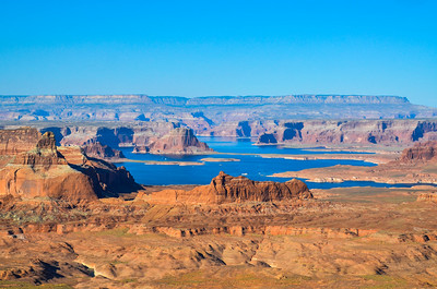
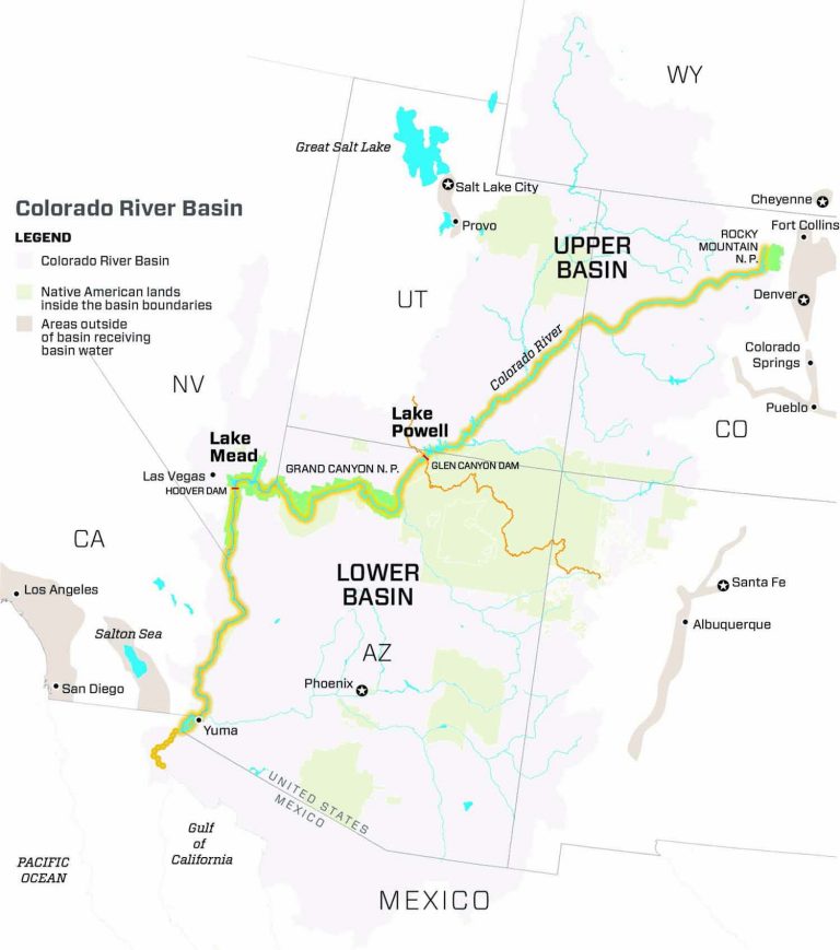
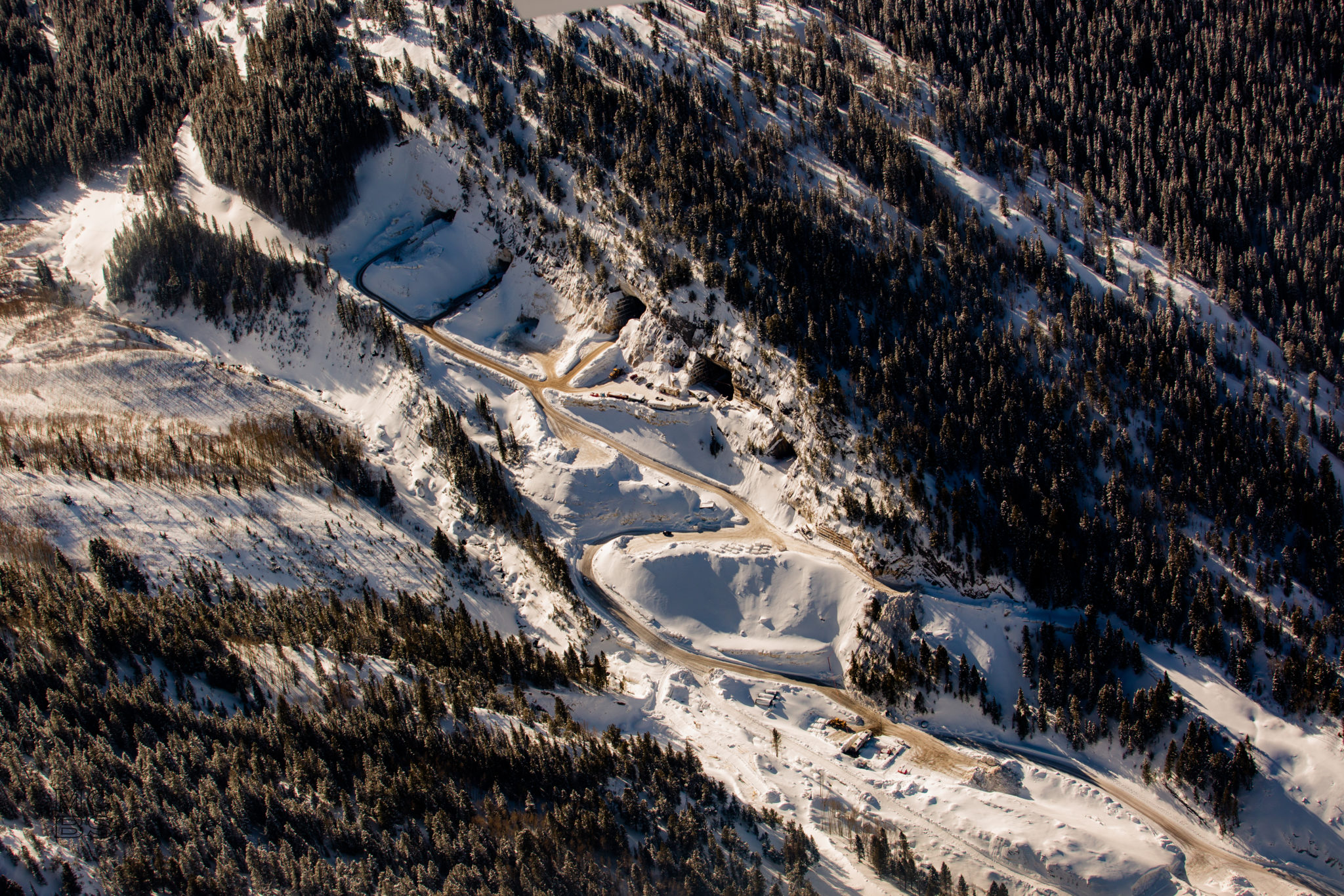
Since the 1930s, Front Range water planners have looked west to bolster their water supplies. An elaborate series of reservoirs, underground tunnels and pipelines now conveys about 400,000 acre-feet of water annually from the Colorado River headwaters to the South Platte basin.
Water is diverted from the Colorado, Fraser, Blue, Eagle, Fryingpan and Roaring Fork rivers in Grand, Summit, Eagle and Pitkin counties and sent under the Continental Divide to the South Platte basin.
Large projects on the South Platte were previously written off due to the high costs of water treatment, but as the cost and controversy surrounding transmountain diversions have grown, a project such as SPROWG — which would have seemed expensive decades ago — is now on par with most other supplies of water. Depending on which concept configuration is used and whether the water will need to be treated, building the project would cost between $1.2 billion and $3.4 billion to build.
Use to extinction
Each of SPROWG’s storage concepts would capture stormwater and native South Platte water during wet years. While the project would not be used to store water from existing or future transmountain diversions, it would capture water from the Colorado River that made its way back to the river as a return flow after being used elsewhere within the basin.
“SPROWG is not intended to store supplies from an existing or new transmountain diversion project (though it will provide a means to utilize unused reusable return flows from transmountain diversions),” the report said.
Once water is transferred over the mountains to the Front Range, it can legally be used to extinction, meaning that it can return to the river as runoff, be recaptured and be used again perpetually. By decree, certain volumes of Colorado River water can only be reused within a certain area, something the SPROWG project would need to ensure.
“If they are going to take the water in the first place, they should make sure they are reusing that water to the full extent possible,” said Andy Mueller, general manager of the Colorado River Water Conservation District, which was formed in 1937 to protect Western Slope water.
Although the SPROWG project does not require more water from the Western Slope, it is not considered a replacement supply for any of the existing water that the region takes from the Colorado River system. Despite the continued need of existing transmountain diversions, Mueller sees the project as an acknowledgement by at least some on the Front Range that the Colorado River is no longer a feasible option for future water supplies.
“I think there are a number of operators of Front Range systems that recognize that the Colorado River system has hit its limit,” he said.
While Western Slope water managers interviewed for this story were all generally supportive of the project, the Colorado Basin Roundtable, which represents different water districts and users within the basin, has not yet taken a formal opinion on it.

Conceptual project
The concepts outlined in the report are still far from a fully formed project, as no steps have been taken toward permitting, acquiring land or even identifying a user for the water. But SPROWG members hope that the analysis could be the first step toward a basinwide water project, a cooperative effort not typical of other large water projects.
“It just seems like something that we need to do, organizing the basin and helping the basin function as efficiently as possible,” said Matt Lindburg, SPROWG’s senior engineering consultant. “It will definitely be a project and concept that folks want to pursue.”
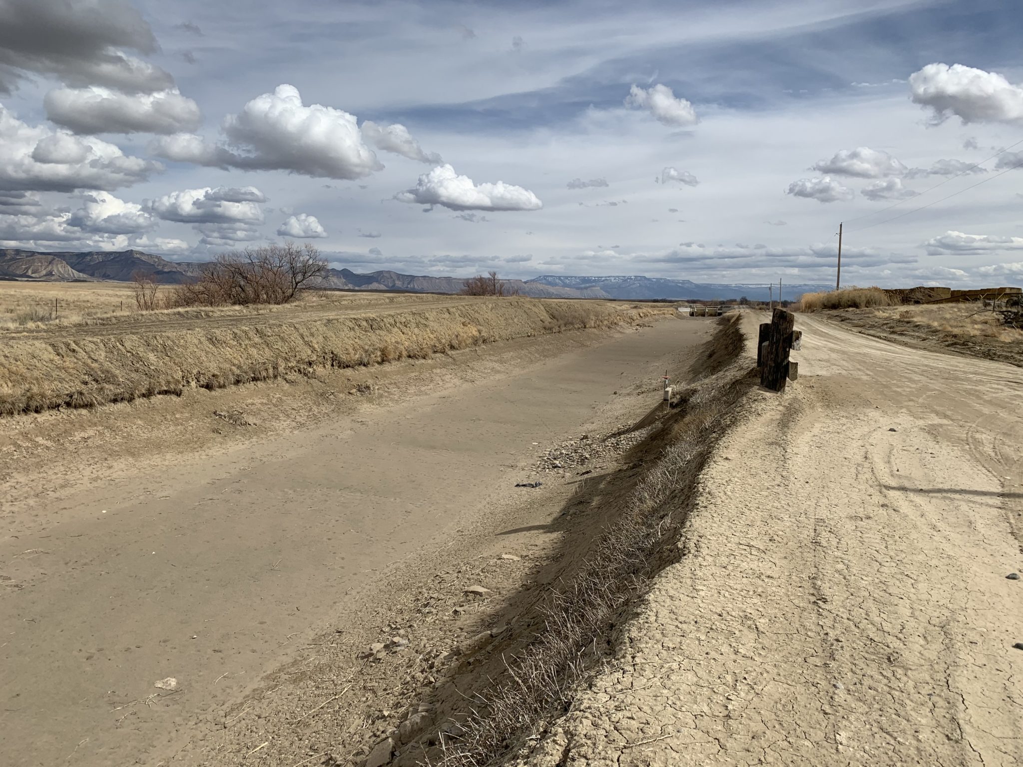
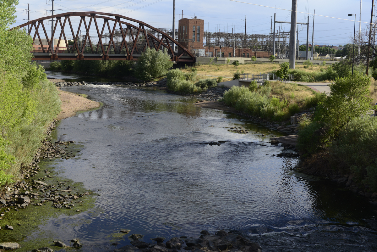
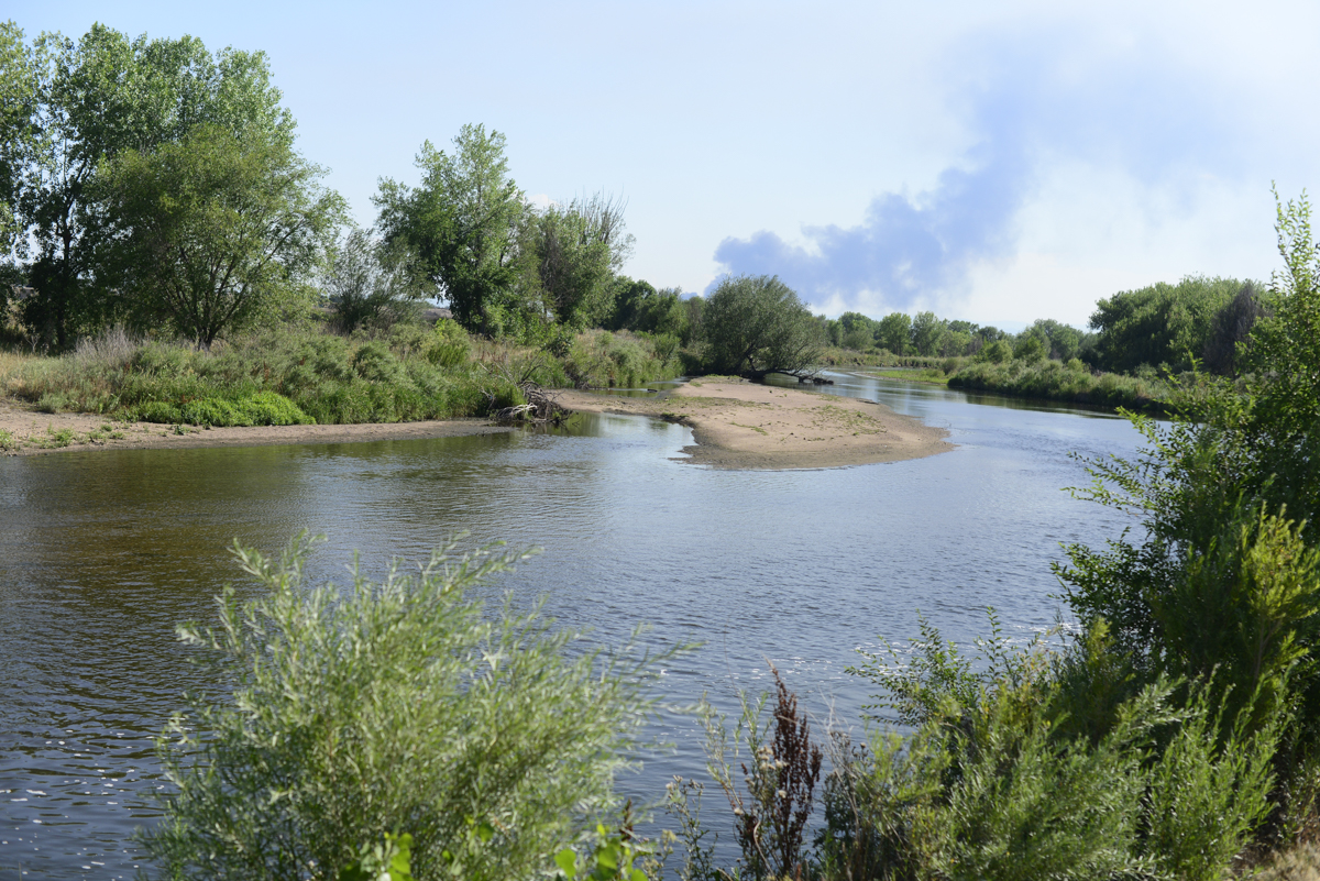
The report analyzed four possible storage and pipeline configurations that would collect agricultural water returned to the lower South Platte as runoff from the region’s farms, and then pump it back to the Denver metro area.
Three of the four project alternatives include an approximately 80-mile pump-and-pipeline system that would move water from a reservoir in Balzac, northeast of Denver, uphill to the metro area. The pipeline would allow the metro area to reuse some water that it already returned to the river as runoff or through water-treatment plants. The conceptual reservoirs could store between 220,000 and 409,000 acre-feet of water.
The idea to design a basinwide water project came from conclusions in the South Platte Storage Study, a 2018 analysis of basin-water supplies that was funded by the Colorado legislature.
That study found that the state was sending an average of 293,000 acre-feet more water down the South Platte and into Nebraska than what is required by the South Platte River Compact, an agreement between the two states that governs how much water Colorado is able to take from the river.
The SPROWG project would be designed to capture some of this water while remaining within the confines of the compact. The report suggested that water could be reused rather than the basin continuing to rely on either Western Slope or agricultural water.
In recent decades, agriculture along the South Platte has been the other main source of water for growing municipalities. Municipal governments buy out farms with senior water rights and dry up the fields, sending the water to the cities.
“This is probably the only other option on the table,” said Joe Frank, general manager of the Lower South Platte Water Conservancy District. “We want to do as much as we can to minimize the pressure on those other sources of water.”
The report also shows that the cost of the water from the projects would be consistent with other projects in the region — between $18,400 and $22,600 per acre-foot for untreated water and between $33,600 and $43,200 for treated water.
Whether cities will need additional South Platte water in the future, some of it is already spoken for. In March, 600,000 cranes — 80% of the world population — will visit an 80-mile stretch of the mainstem of the Platte River in Nebraska, where the birds fatten up on grain before a long migration north. Water flowing in the river makes this spectacle possible.
Even if the SPROWG concept were built, it would need to work within the confines of the Platte River Recovery Program, which was created to help protect these cranes and other endangered species on the river.
The recovery program, which secured additional water and land for habitat, has led to a dramatic increase in the population of endangered birds during migration season in Nebraska. SPROWG’s designers say they would work within the program, timing reservoir releases and saving water for specific ecological needs, but the report does not include a full environmental analysis.
Aspen Journalism is a 501(c)(3) nonprofit organization covering water and rivers in collaboration with The Aspen Times and Swift Communications newspapers. This story ran in the April 25 edition of The Aspen Times and the April 27 edition of Aspen Journalism.
Editor’s note: This report has been updated from its original version to correct that 50,000 acre-feet of water per year is more than 16 billion gallons of water.
This story was supported by The Water Desk using funding from the Walton Family Foundation.
The Water Desk’s mission is to increase the volume, depth and power of journalism connected to Western water issues. We’re an initiative of the Center for Environmental Journalism at the University of Colorado Boulder. The Water Desk launched in April 2019 with support from the Walton Family Foundation. We maintain a strict editorial firewall between our funders and our journalism. The Water Desk is seeking additional funding to build and sustain the initiative. Click here to donate.