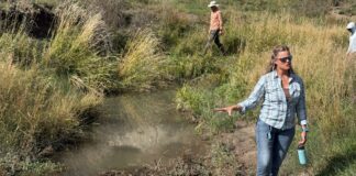


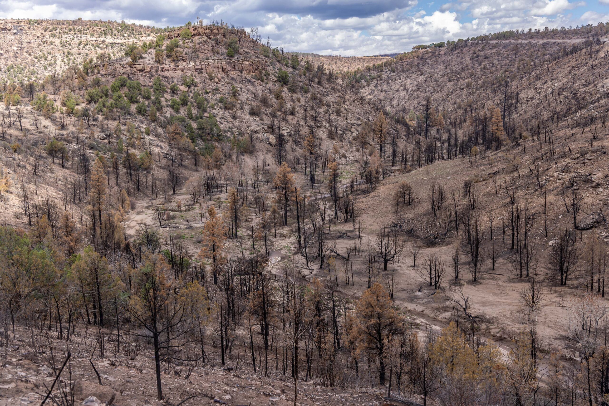
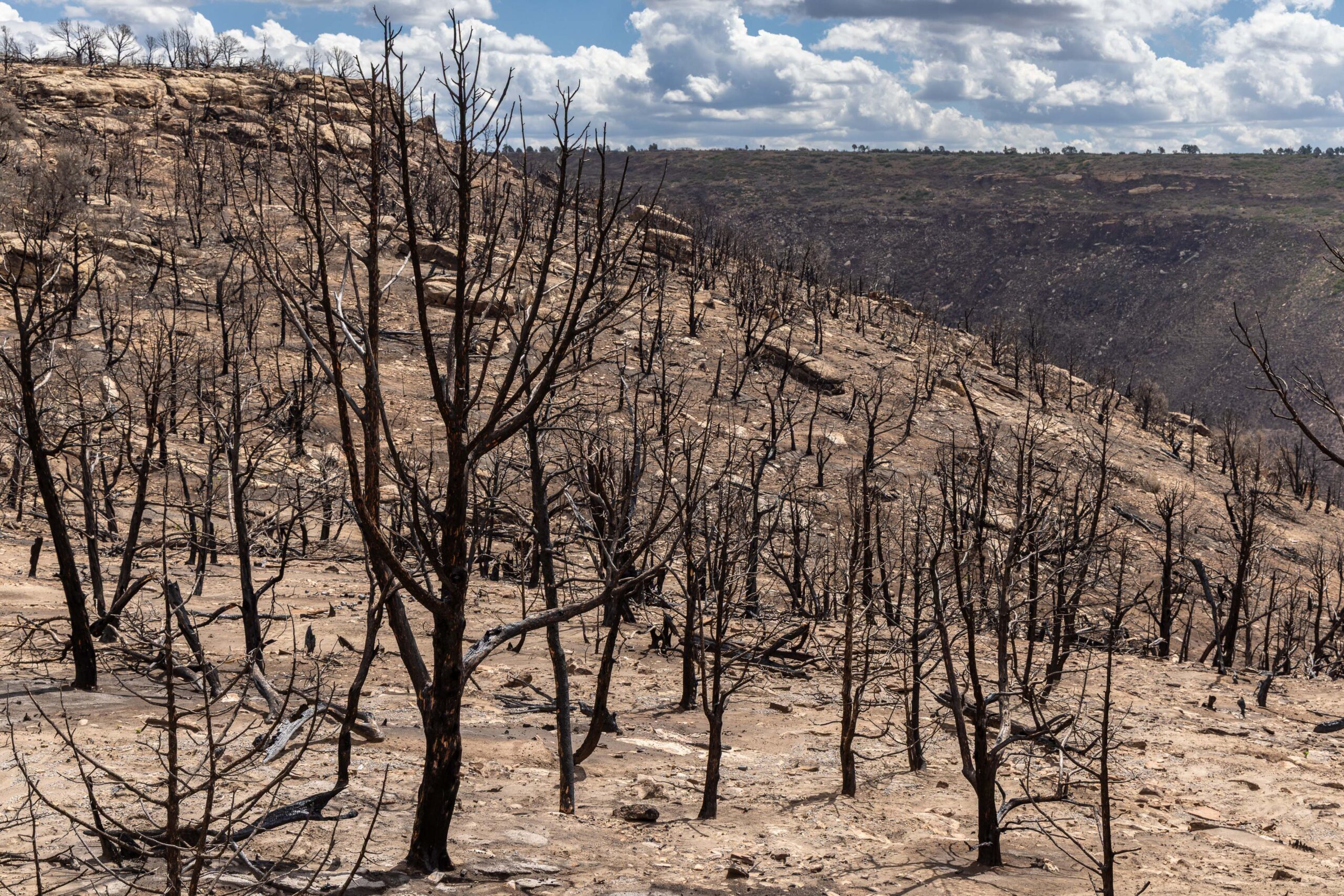
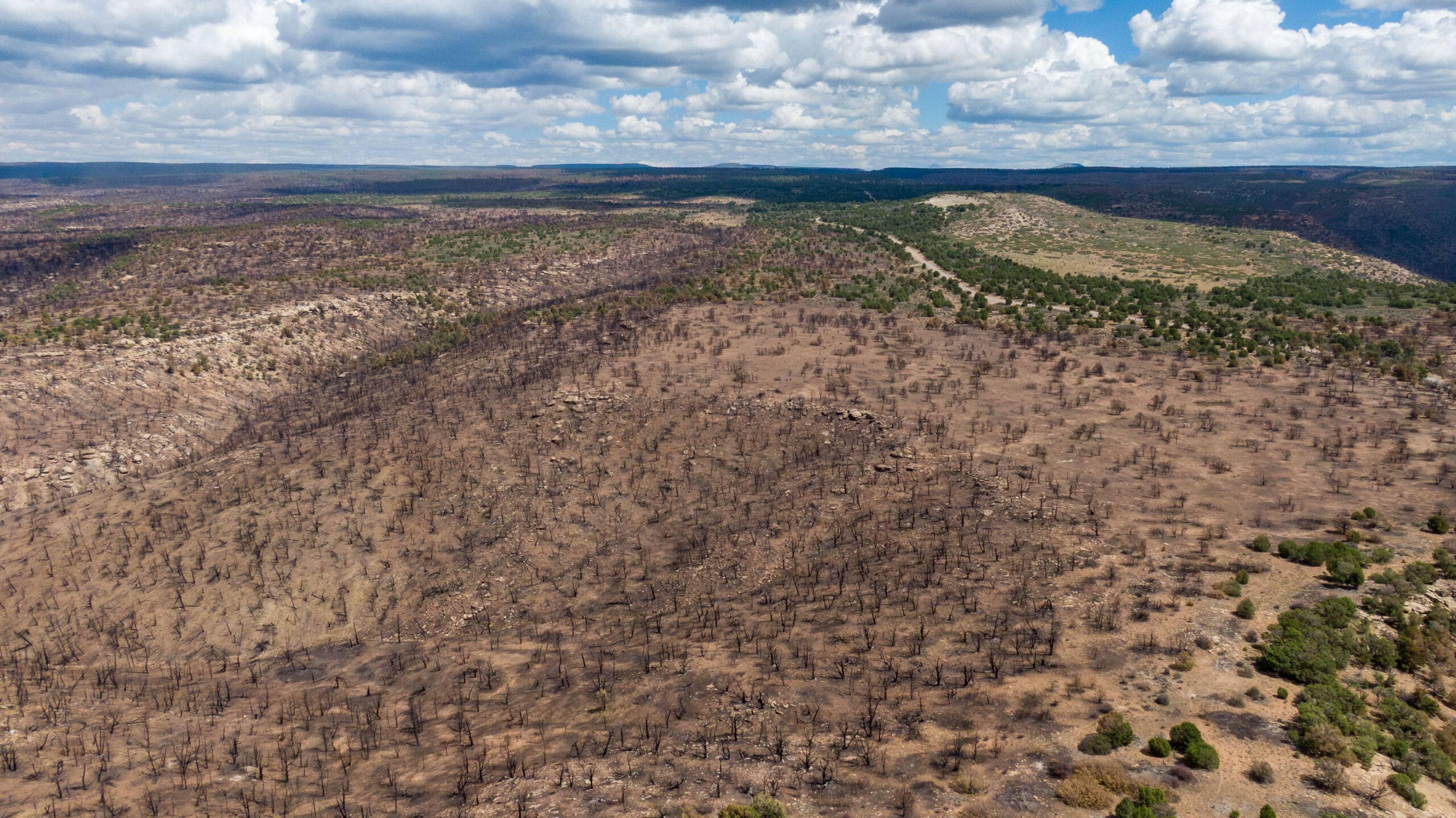
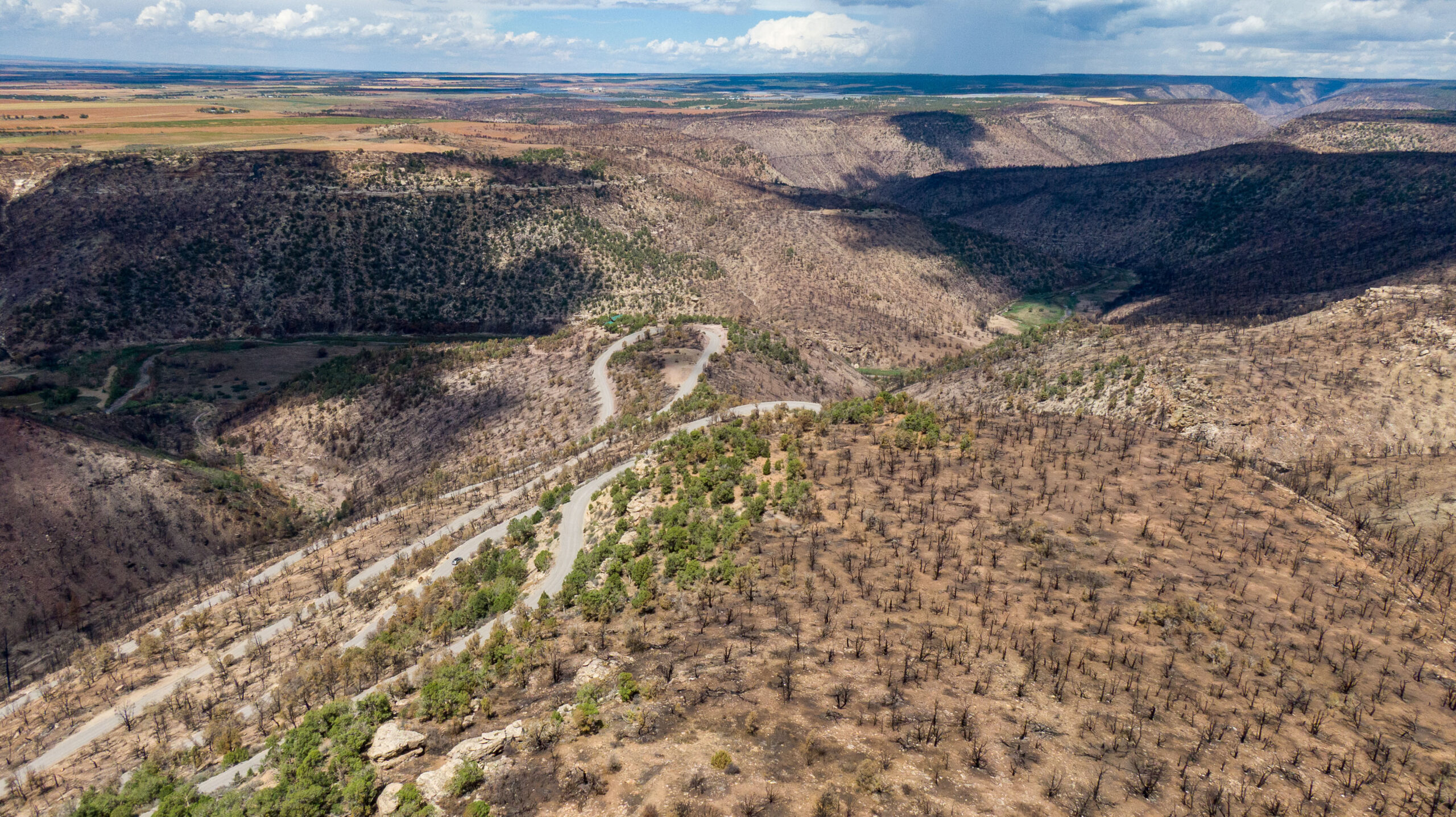
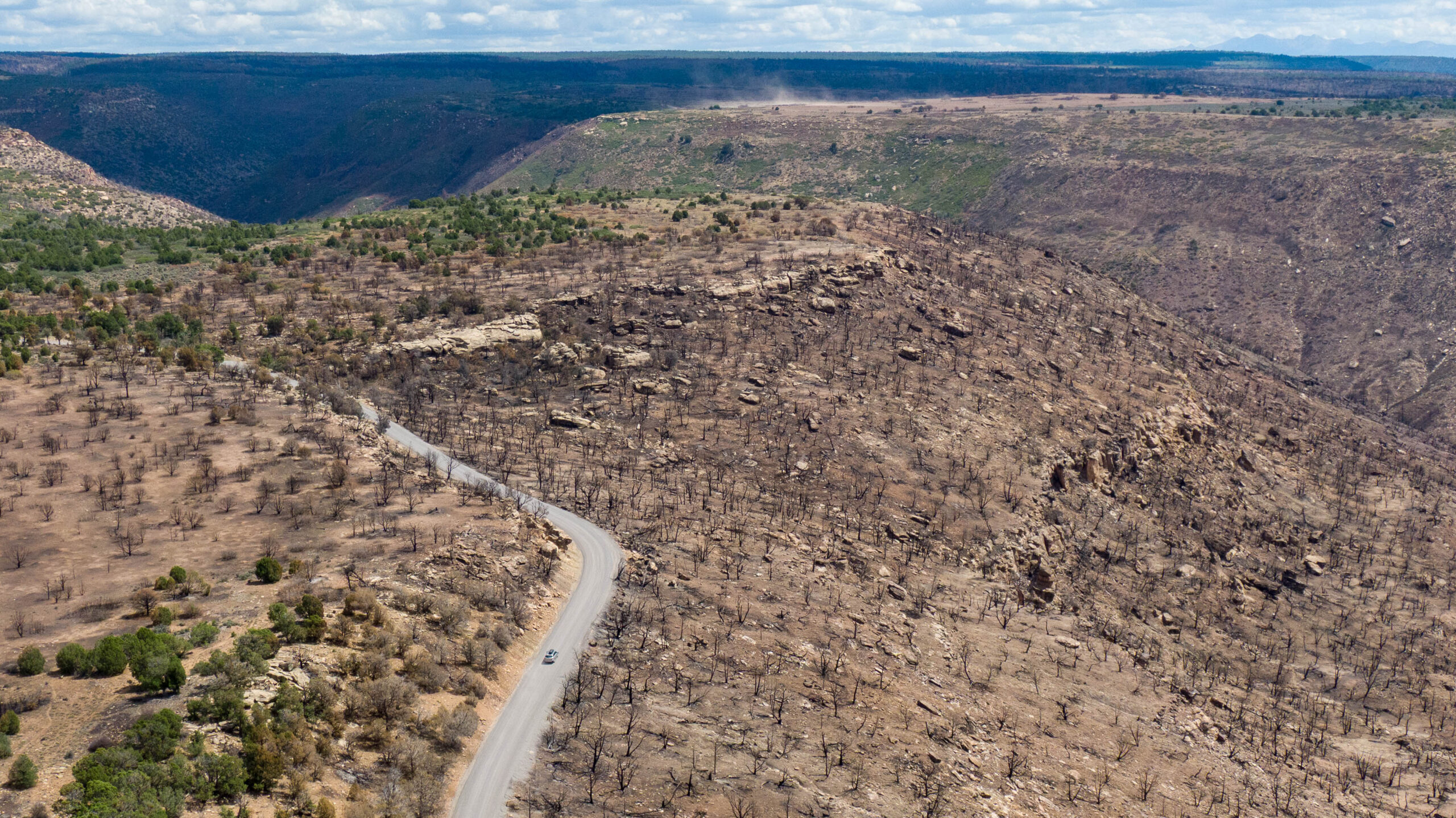
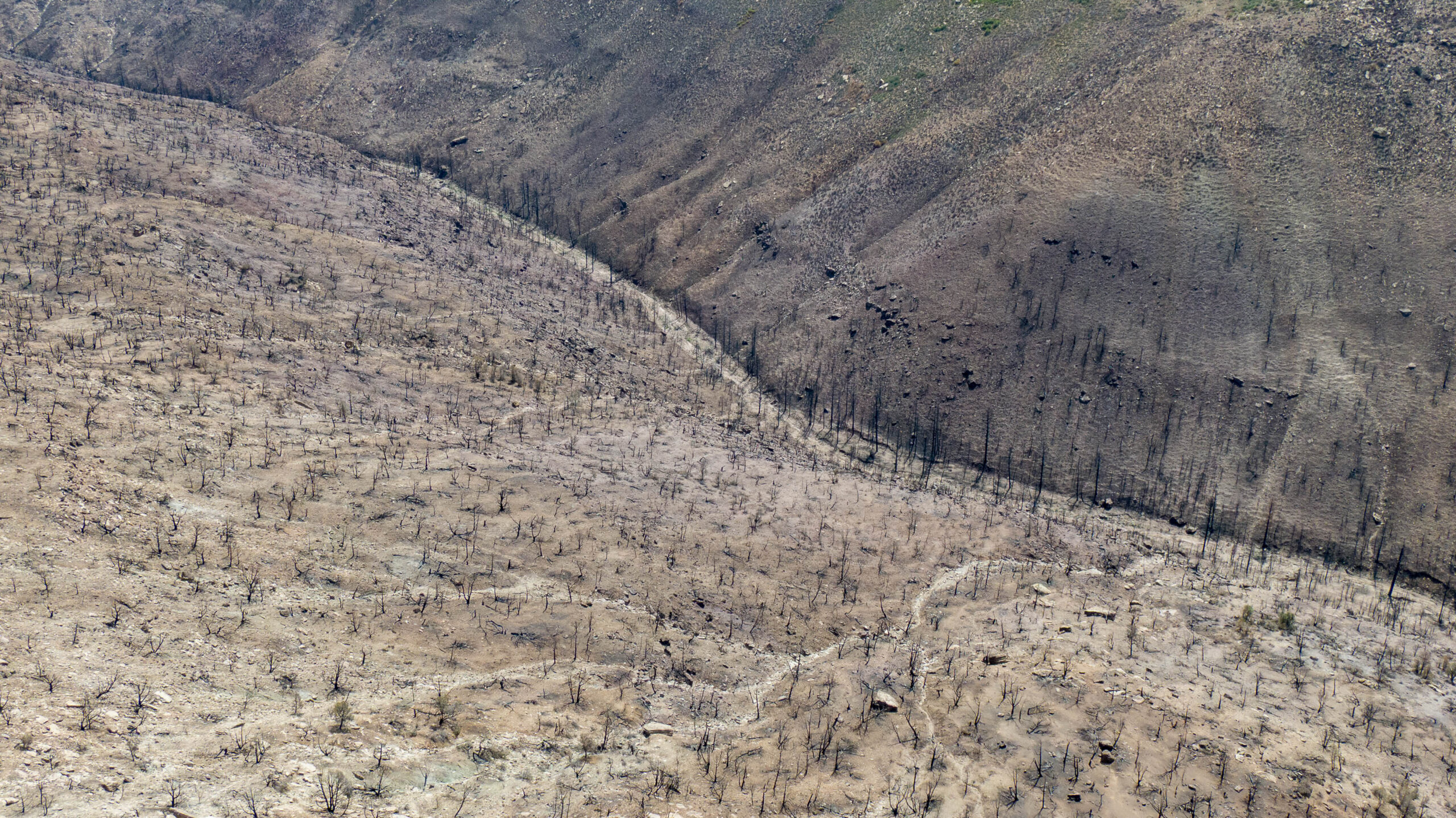
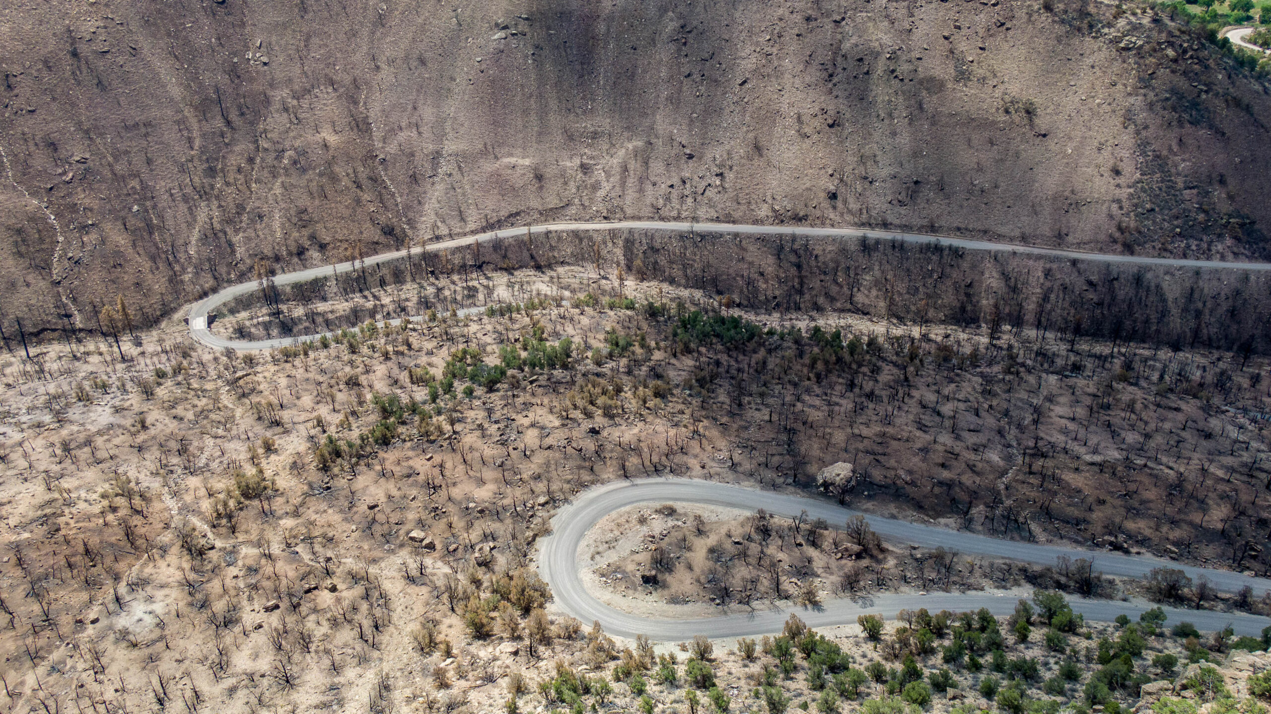
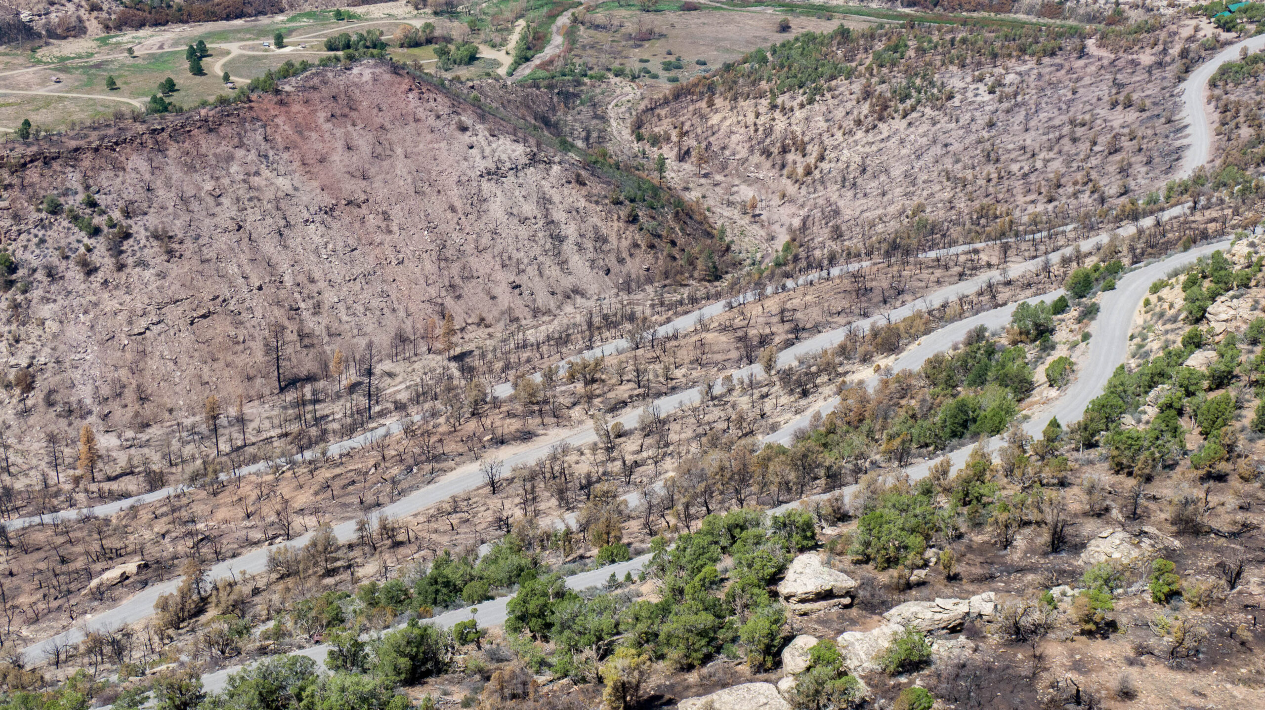
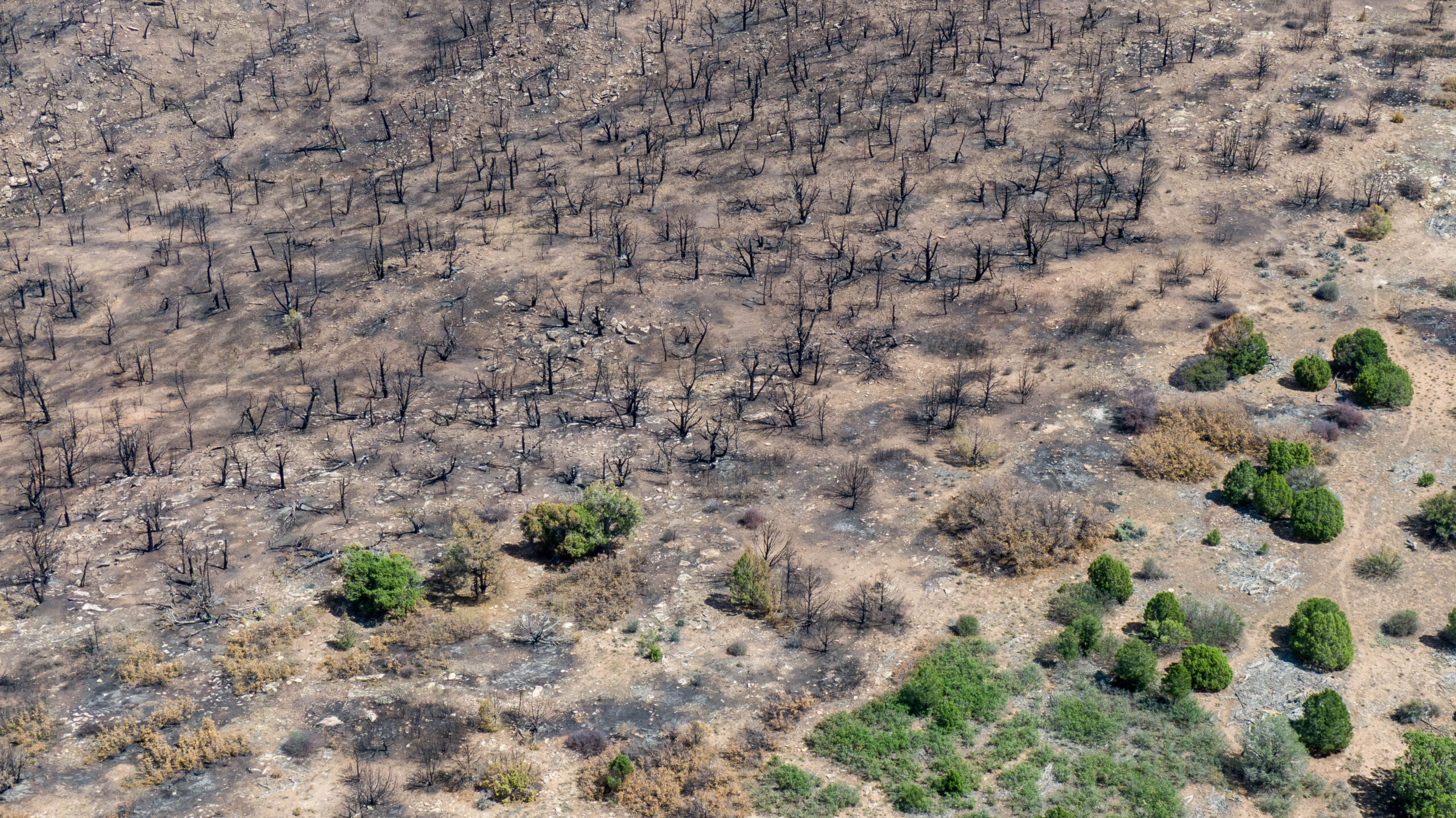
This page features photos of the aftermath of the Ferris Fire in southwest Colorado.
The blaze burned nearly 65,000 acres during a busy summer for wildfires in Colorado and was declared 100% contained on August 5, 2026.
The Ferris Fire scorched terrain in the watershed of the Dolores River, a tributary of the Colorado River.
LP McKay of KSJD explained the impacts of the fire and recovery efforts in a September 15 story.
| Date | September 2, 2026 |
| Location | Ferris Fire burned area, Colorado (map) |
| Credit | Mitch Tobin/The Water Desk |
| Rights | Free to reuse under Creative Commons license. |
Selected images from gallery
To use these images
Please read and consent to the terms and license below for access to the download page.
The Water Desk’s photo and video resources are part of our efforts to aid and enrich news coverage of Western water issues. Our imagery is shot by professional photojournalists and is available for free reuse under a Creative Commons noncommercial license.
To help us continue to offer this free material, we ask that you please:
To help us continue to offer this free material, we ask that you please:
- Credit the original photographer and the Water Desk as the source
- Email us a link to the published story at waterdesk@colorado.edu
- Consider sending The Water Desk your ideas for future content that we could add to the library
- Keep supporting professional photojournalists by hiring them for assignments