

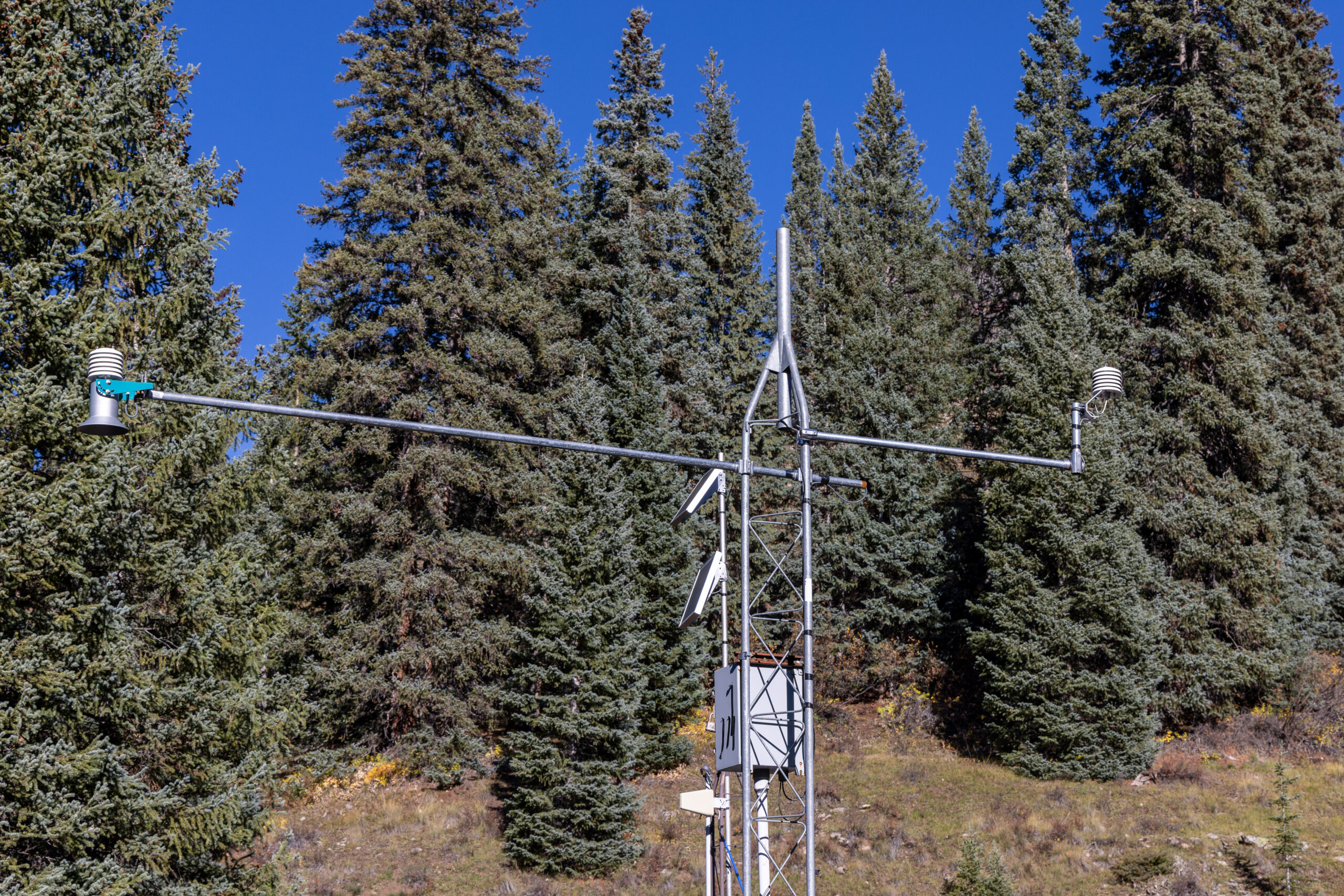
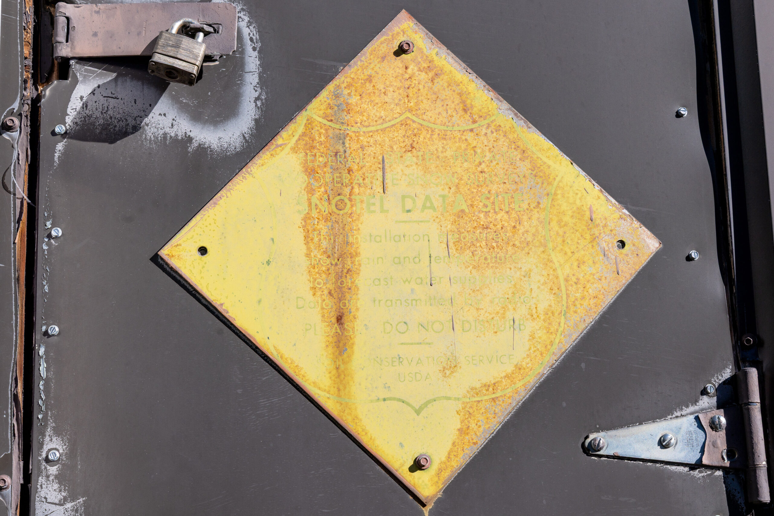
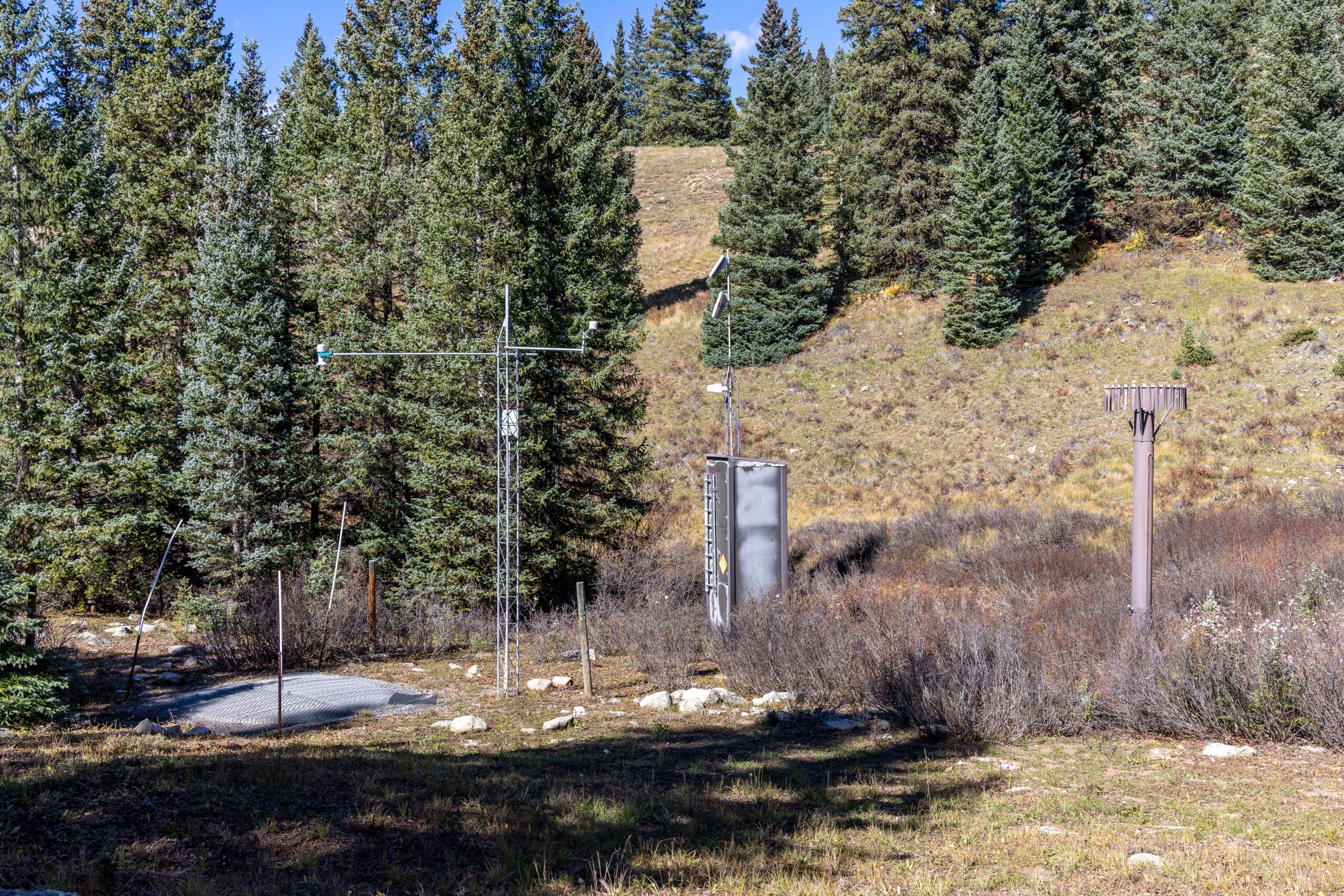
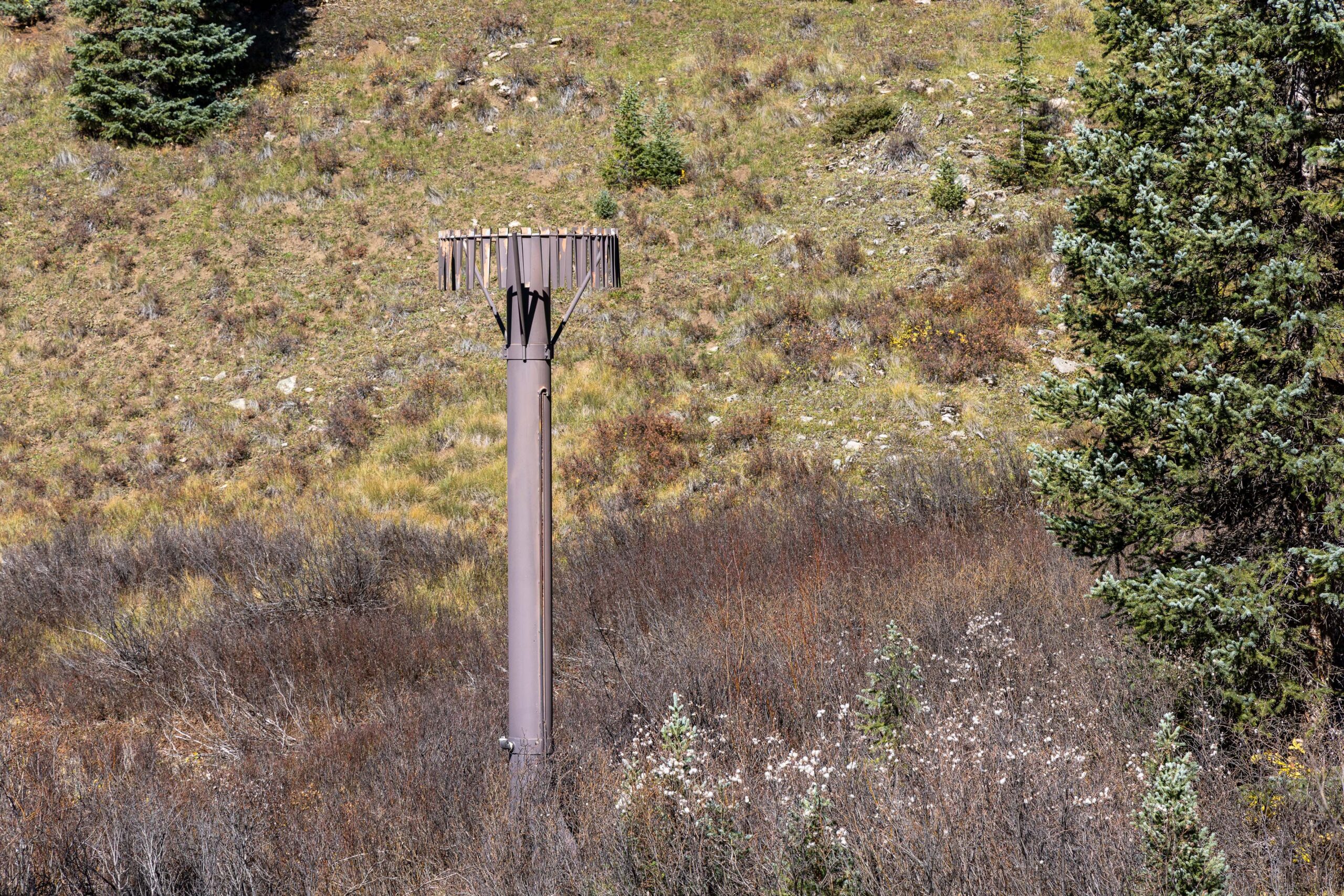
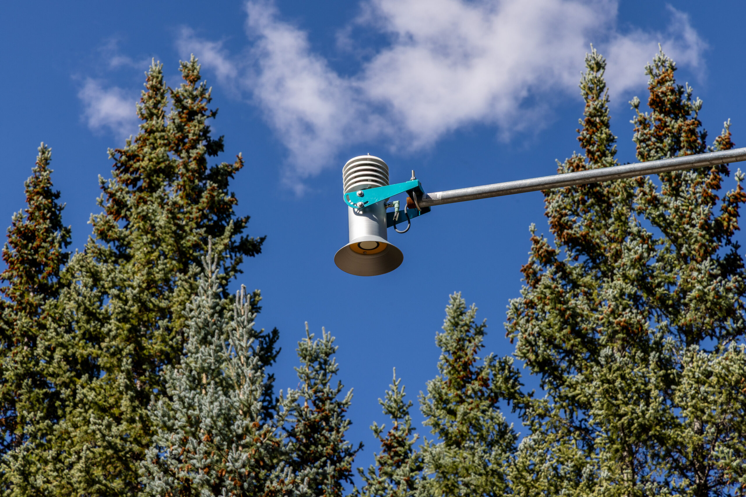
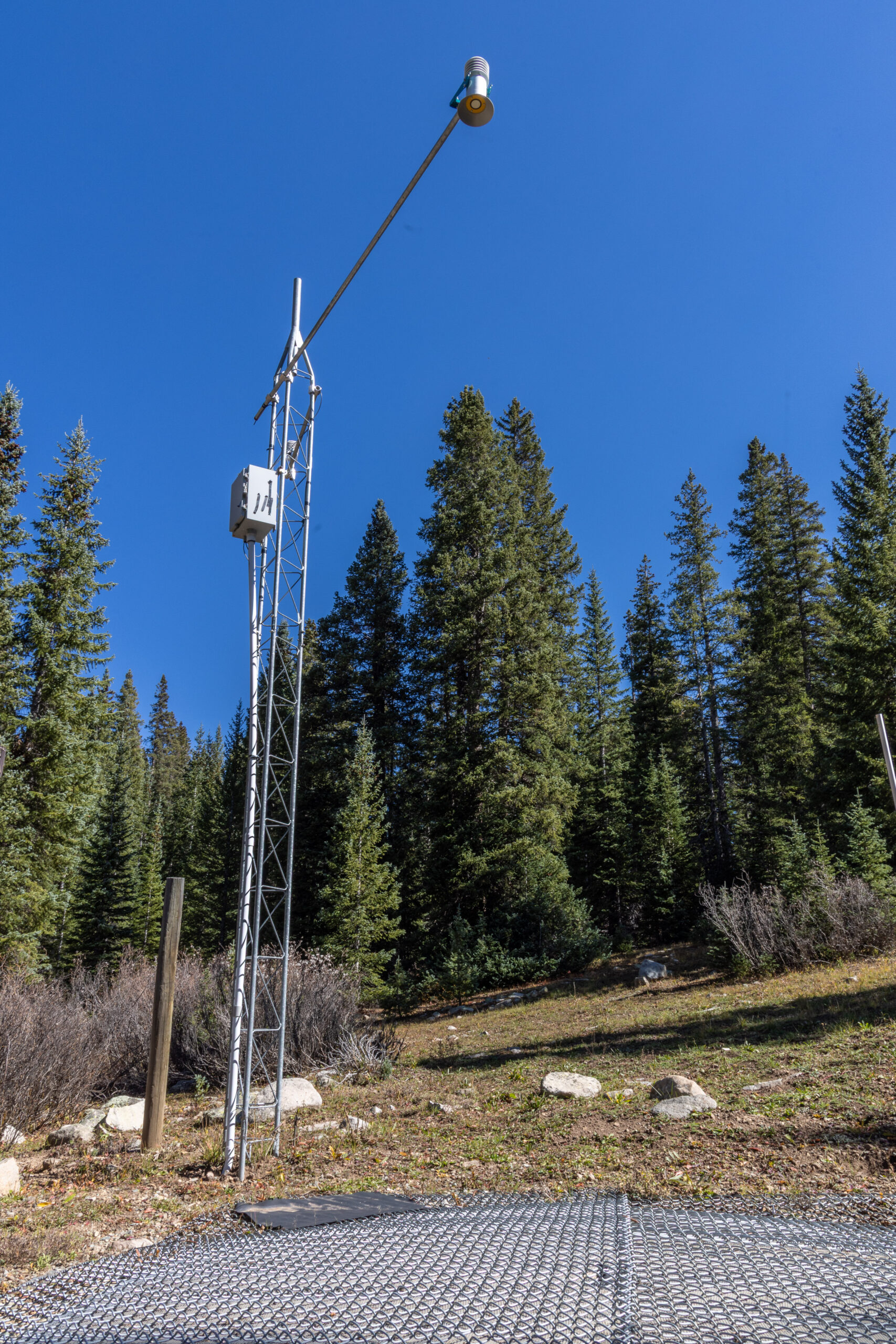
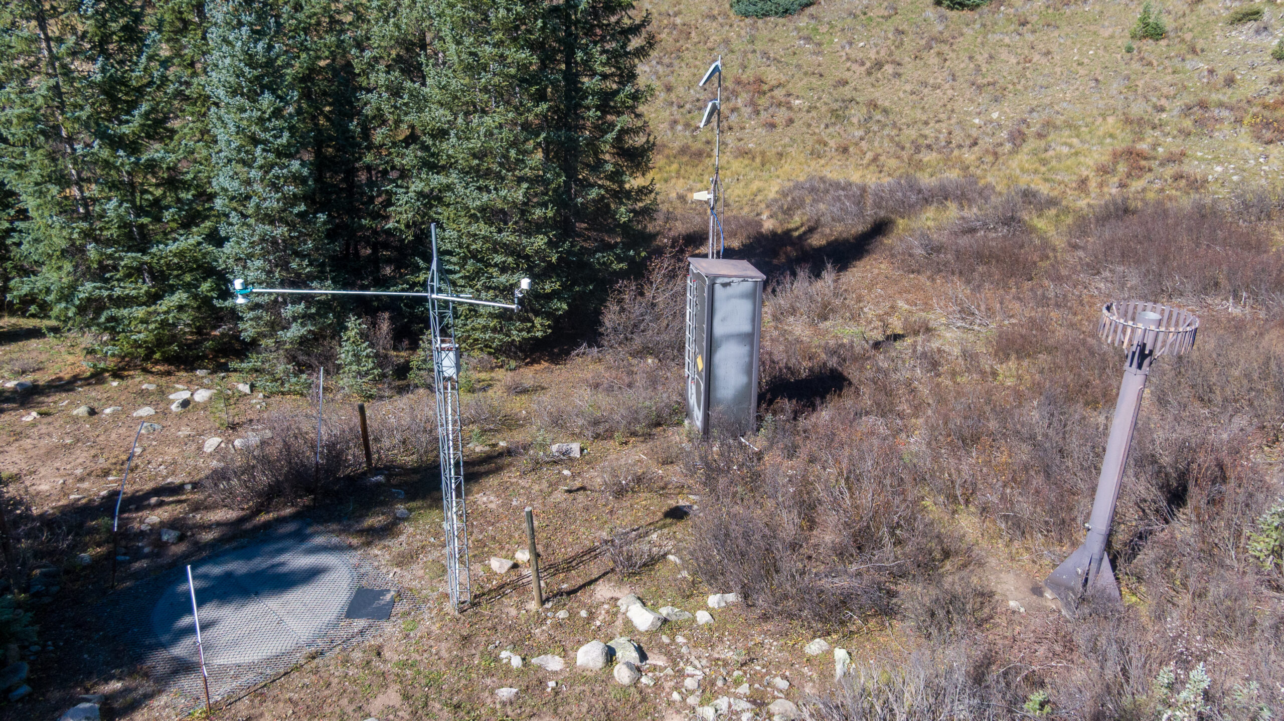
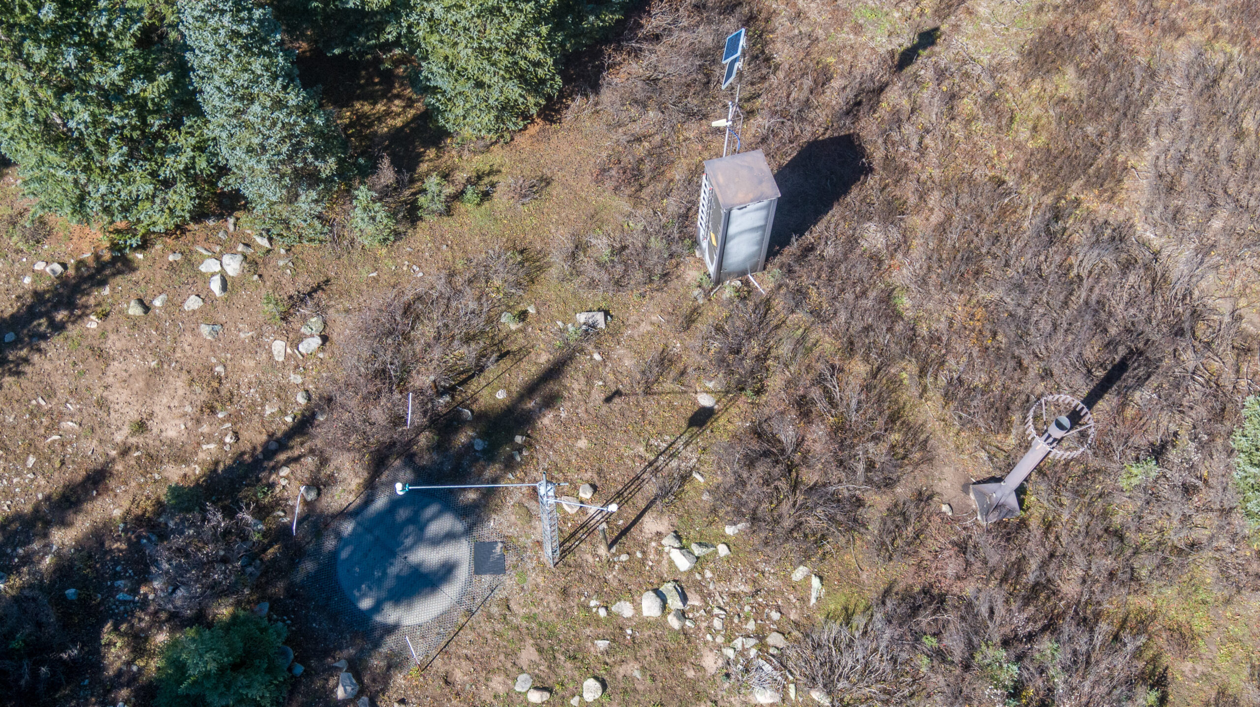
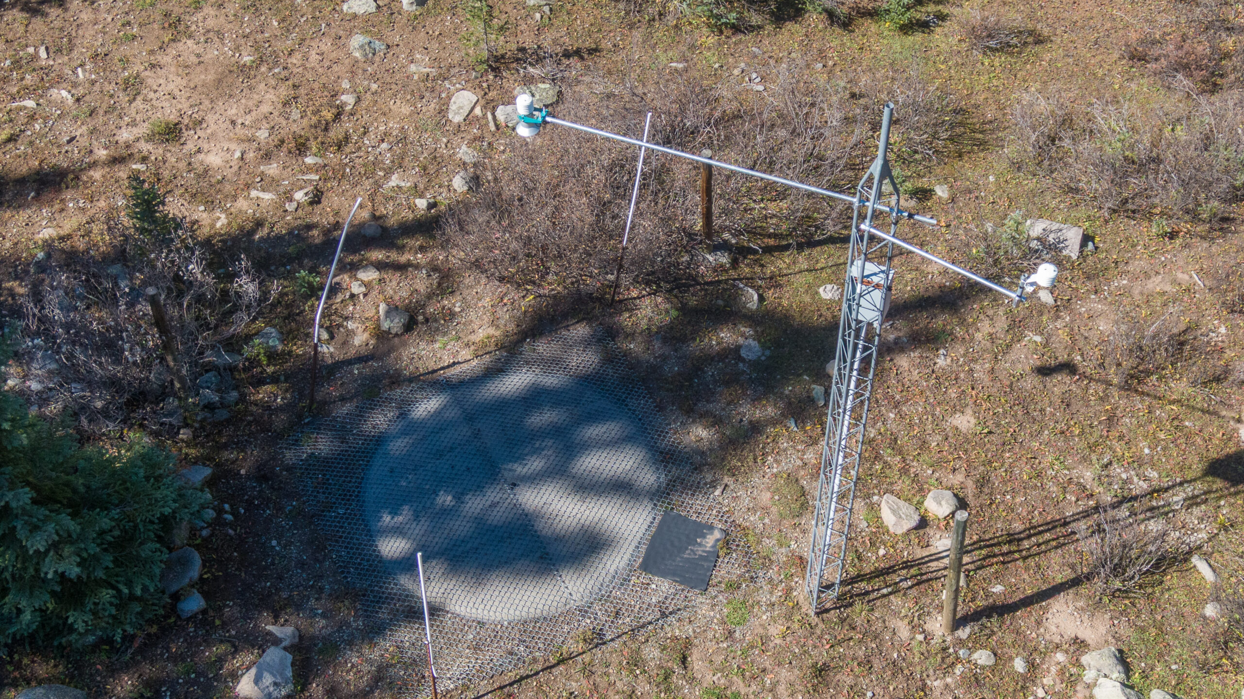
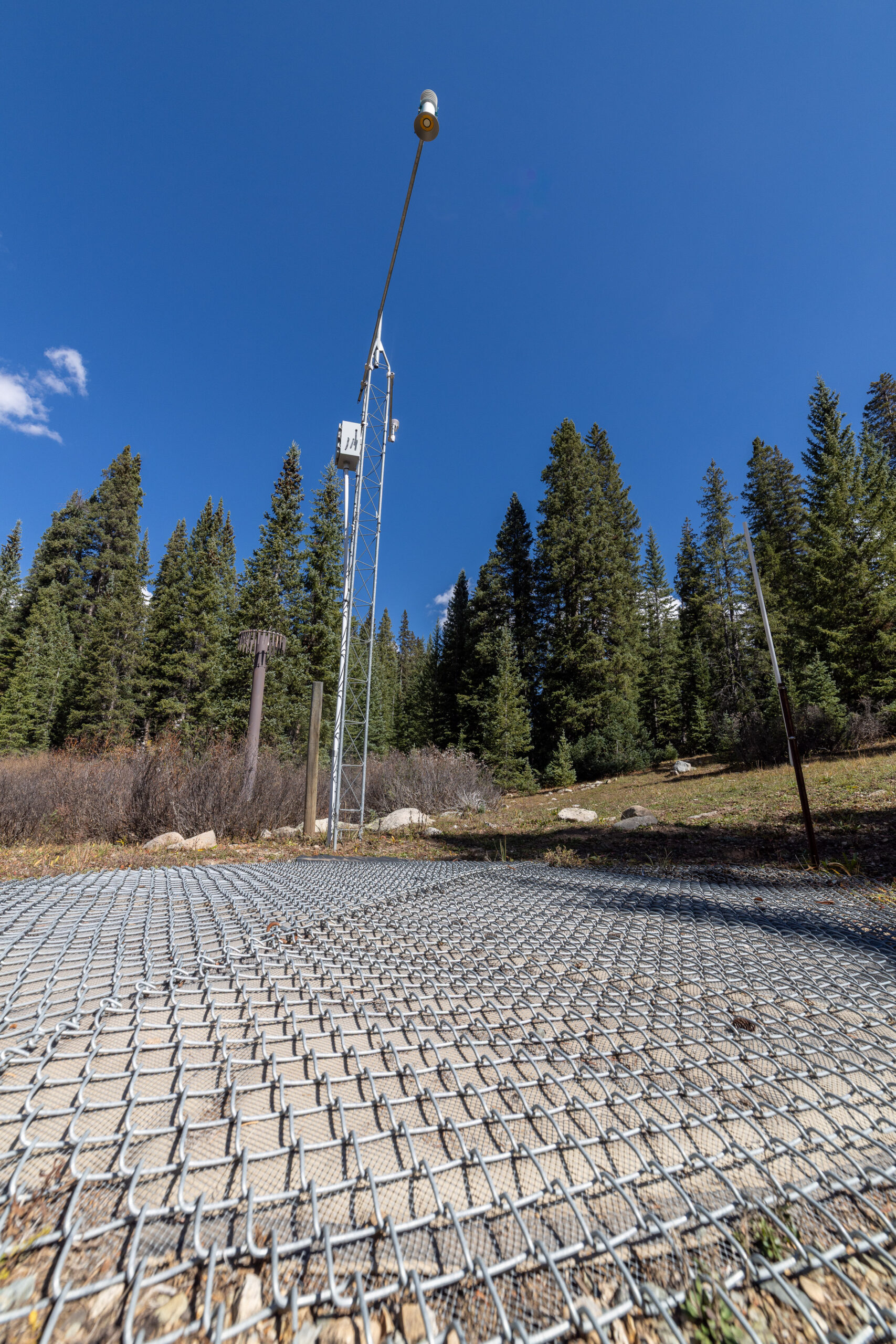
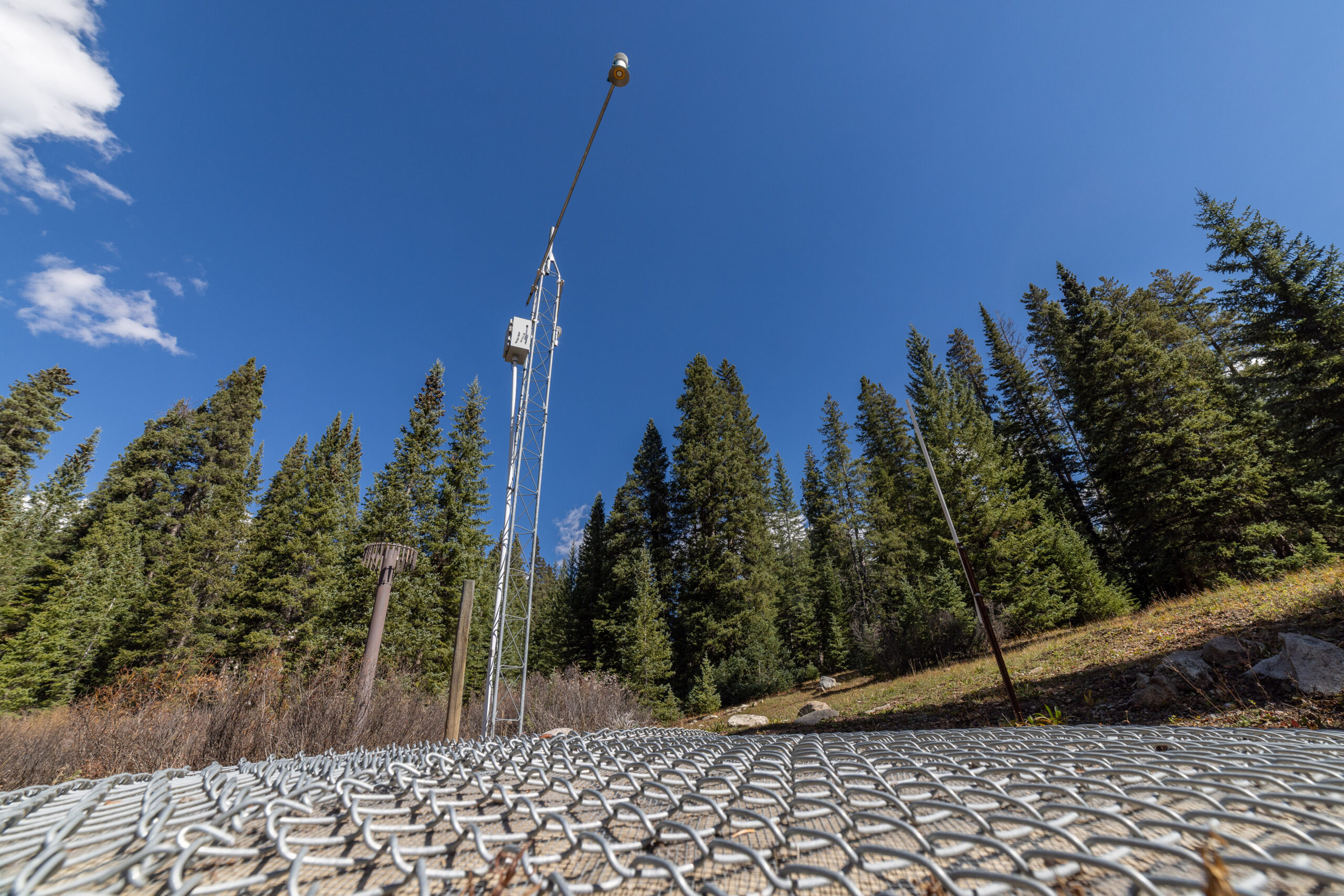
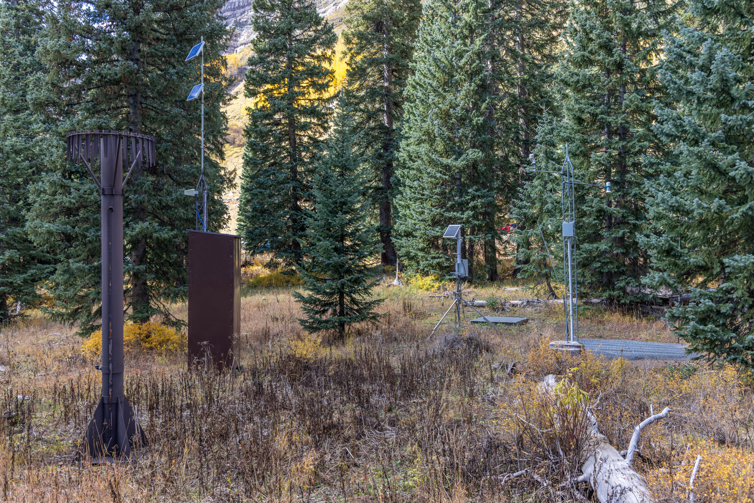
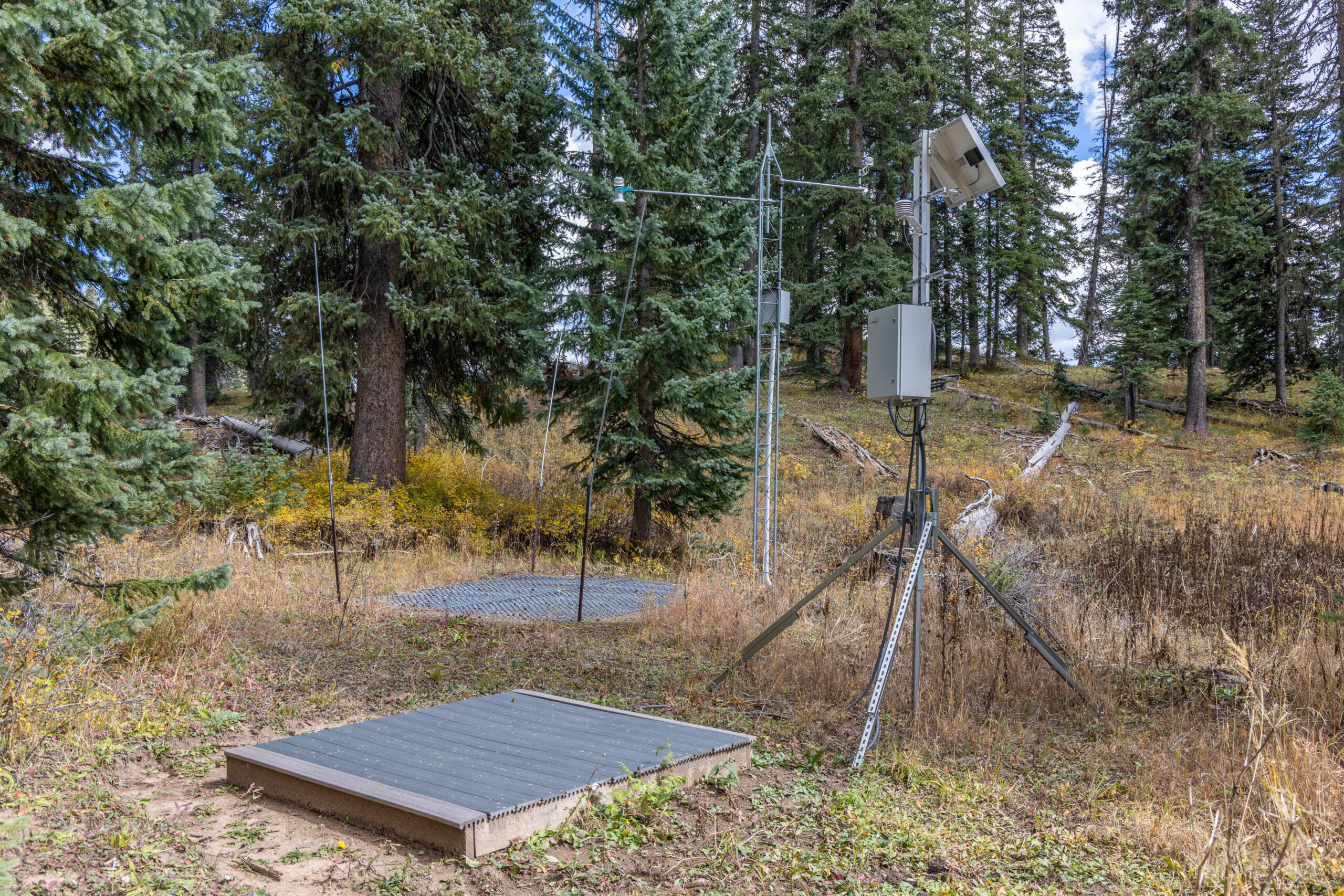
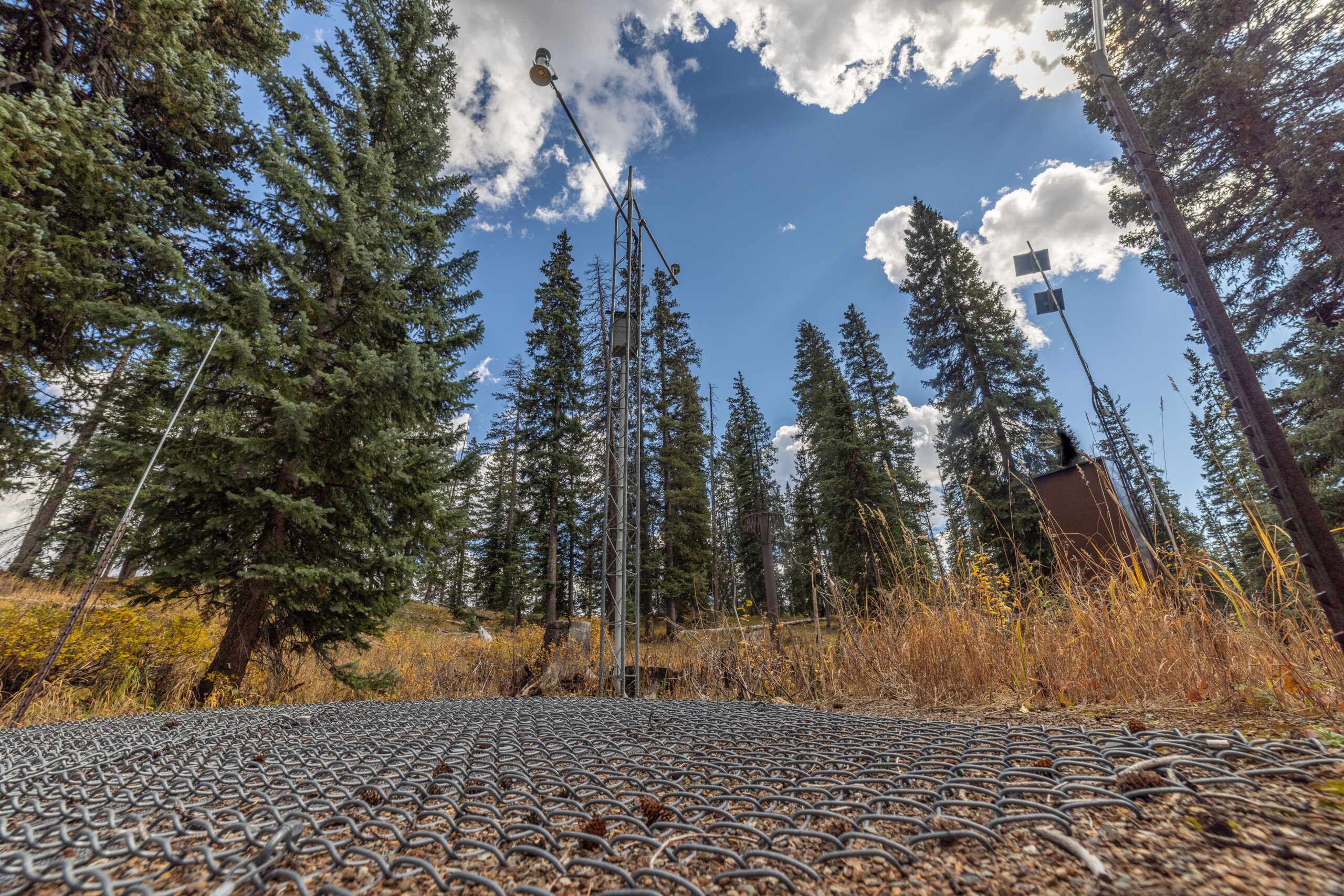
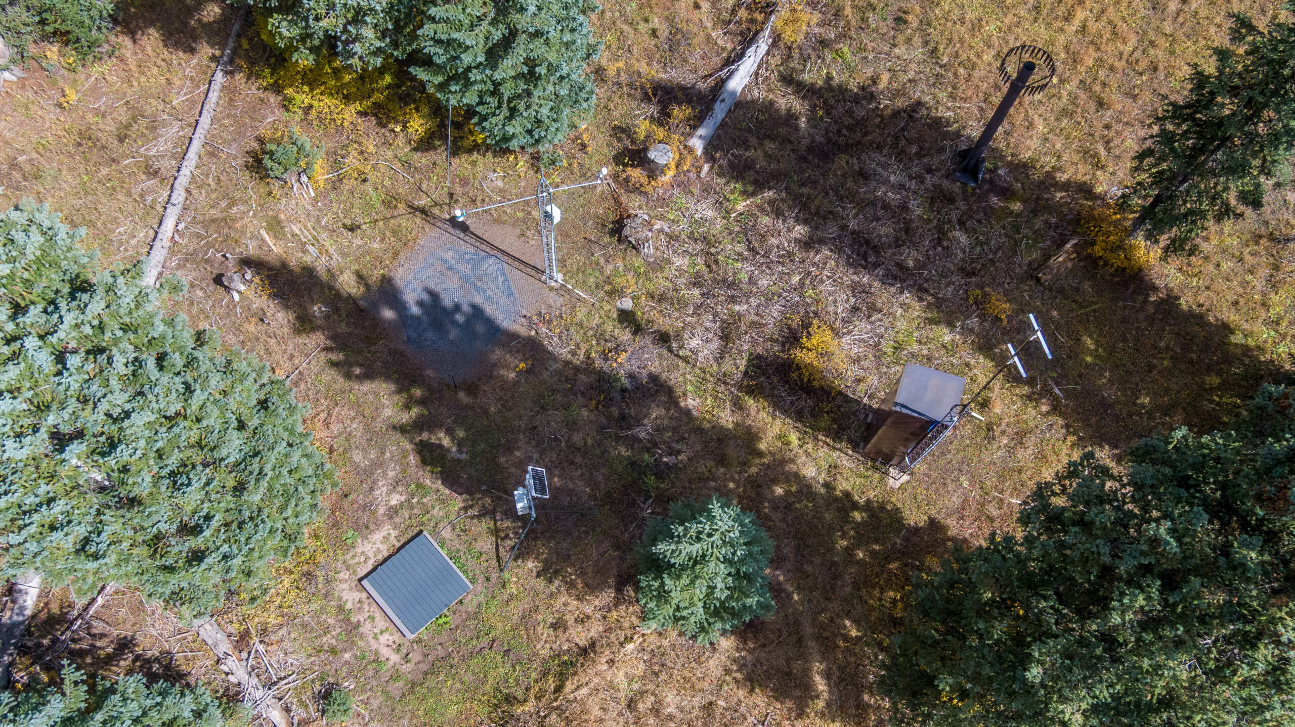
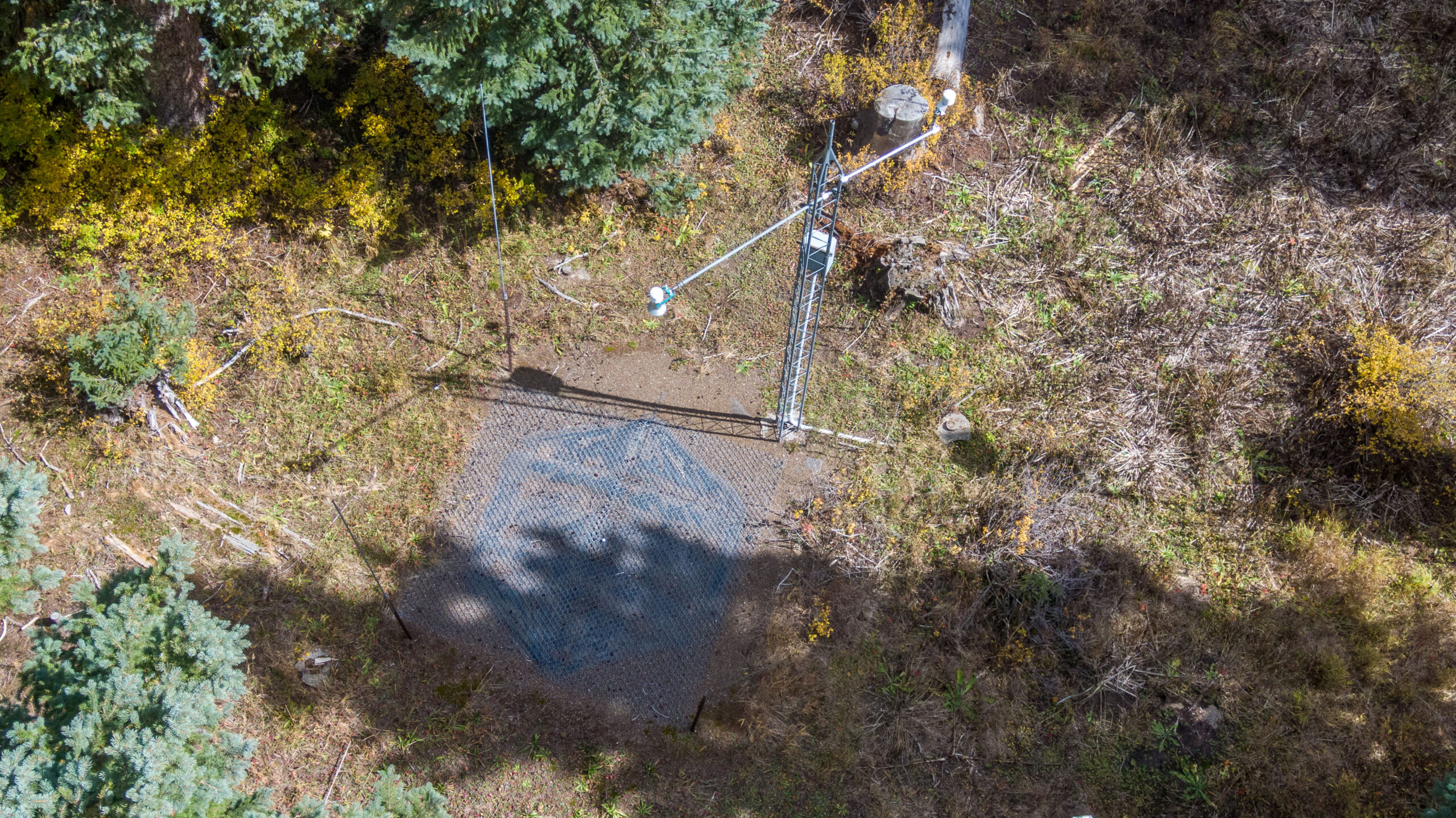
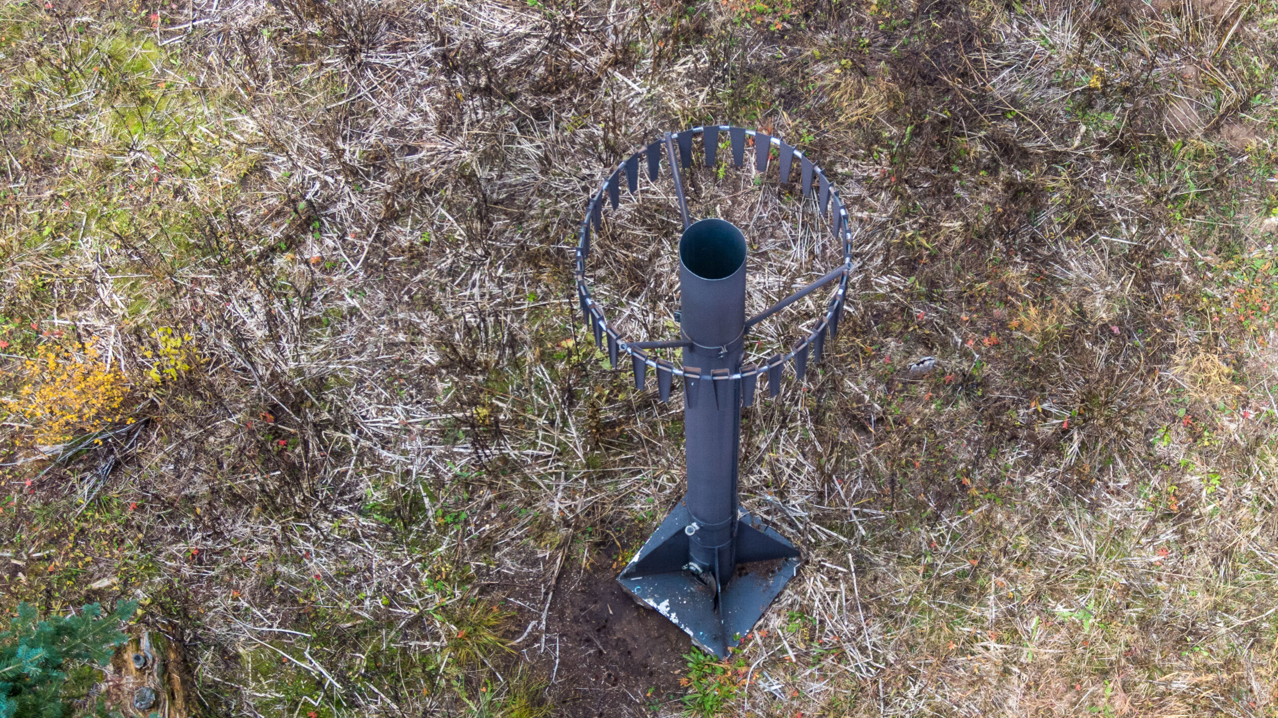
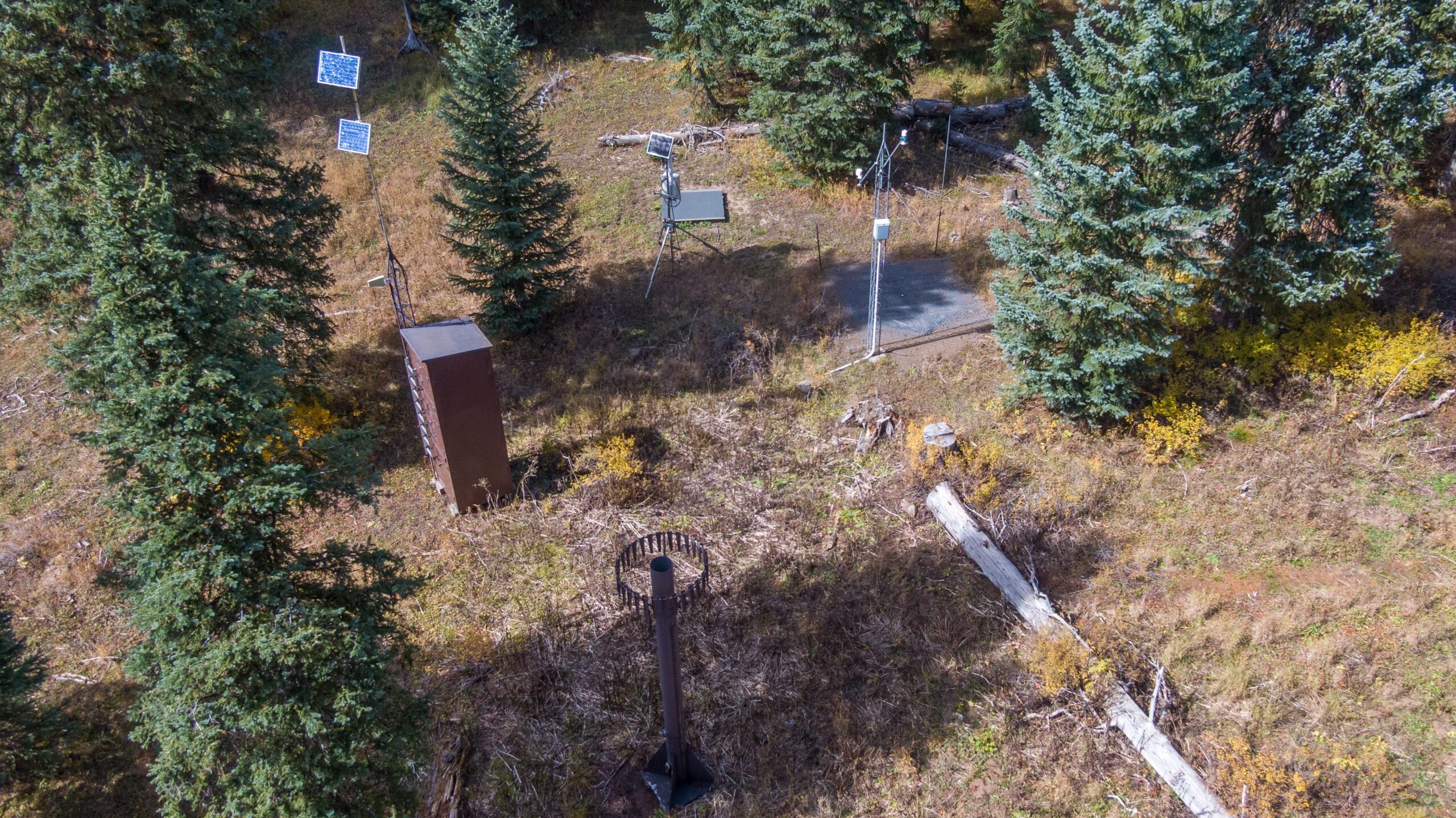
This page in our free multimedia library features photos of SNOTEL stations in the San Juan Mountains of southwest Colorado.
The SNOTEL network monitors the West’s snowpack and provides critical data for snow scientists, water managers and others.
Here’s more from The Water Desk’s illustrated glossary of snow-related terms:
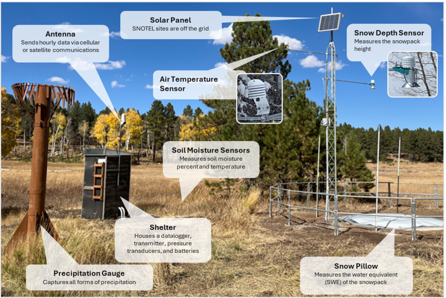
SNOTEL (as in snow telemetry) is a network of around 900 sites that automatically measure the depth and water content of the snowpack while also providing data on temperature, precipitation and other climatic conditions. The stations use a snow pillow filled with liquid antifreeze to measure the weight of the snow above and calculate snow water equivalent (SWE), the key measure of the snow’s water content. While some stations use cellular and satellite communications, most use “meteor burst” technology to transmit their data by bouncing a radio signal off a band of ionized meteorites 50 to 80 miles above the Earth.
This collection includes photos of two SNOTEL stations: Spud Mountain on Coal Bank Pass and Molas Lake on Molas Pass.
The image below from the Natural Resources Conservation Service explains the components found in a typical SNOTEL station.
| Date | October 5, 2026 |
| Location | Coal Bank Pass (map) and Molas Pass (map) in southwest Colorado |
| Credit | Mitch Tobin/The Water Desk |
| Rights | Free to reuse under Creative Commons license. |
Selected images from gallery
To use these images
Please read and consent to the terms and license below for access to the download page.
To help us continue to offer this free material, we ask that you please:
- Credit the original photographer and the Water Desk as the source
- Email us a link to the published story at waterdesk@colorado.edu
- Consider sending The Water Desk your ideas for future content that we could add to the library
- Keep supporting professional photojournalists by hiring them for assignments