
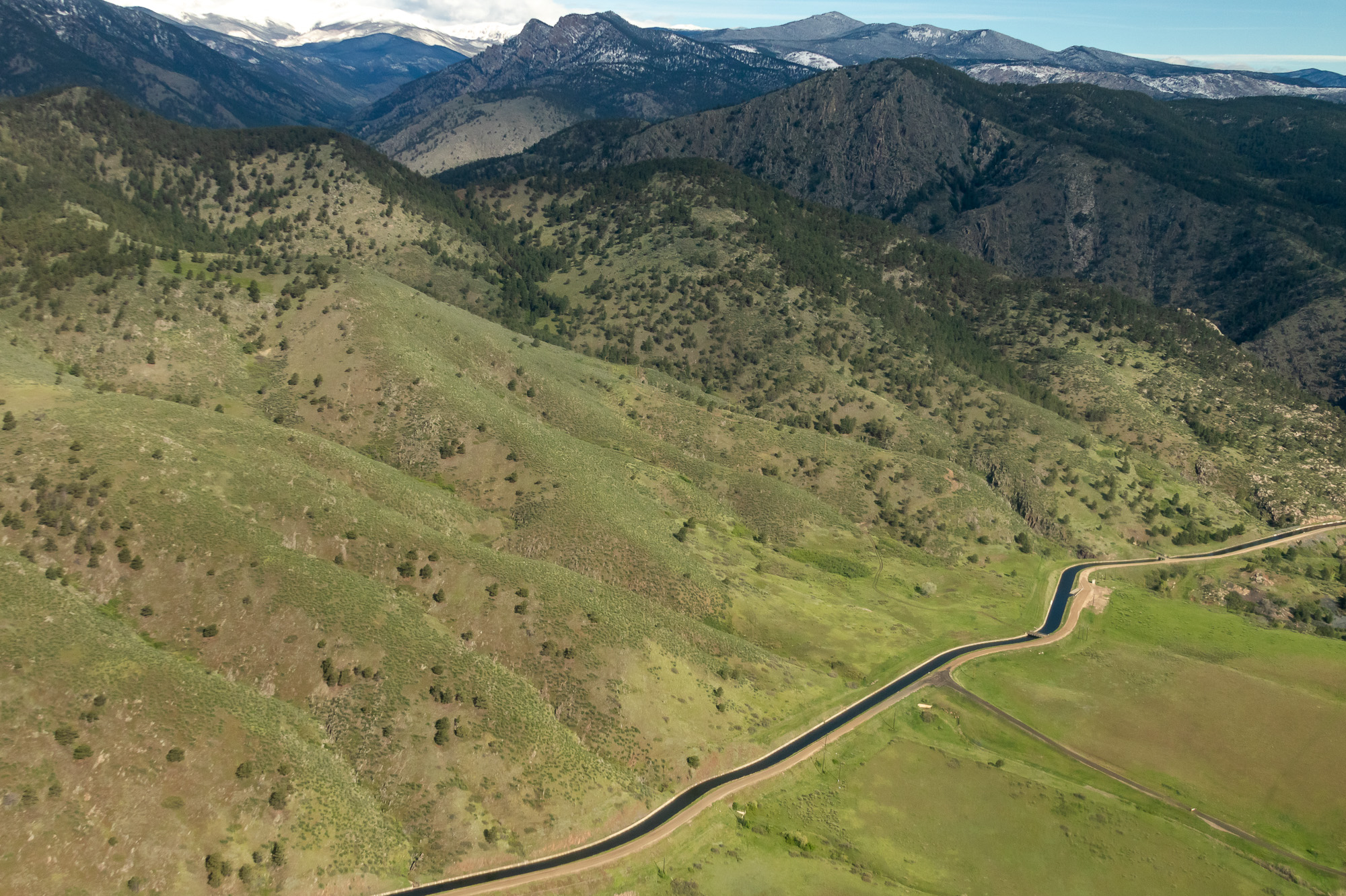
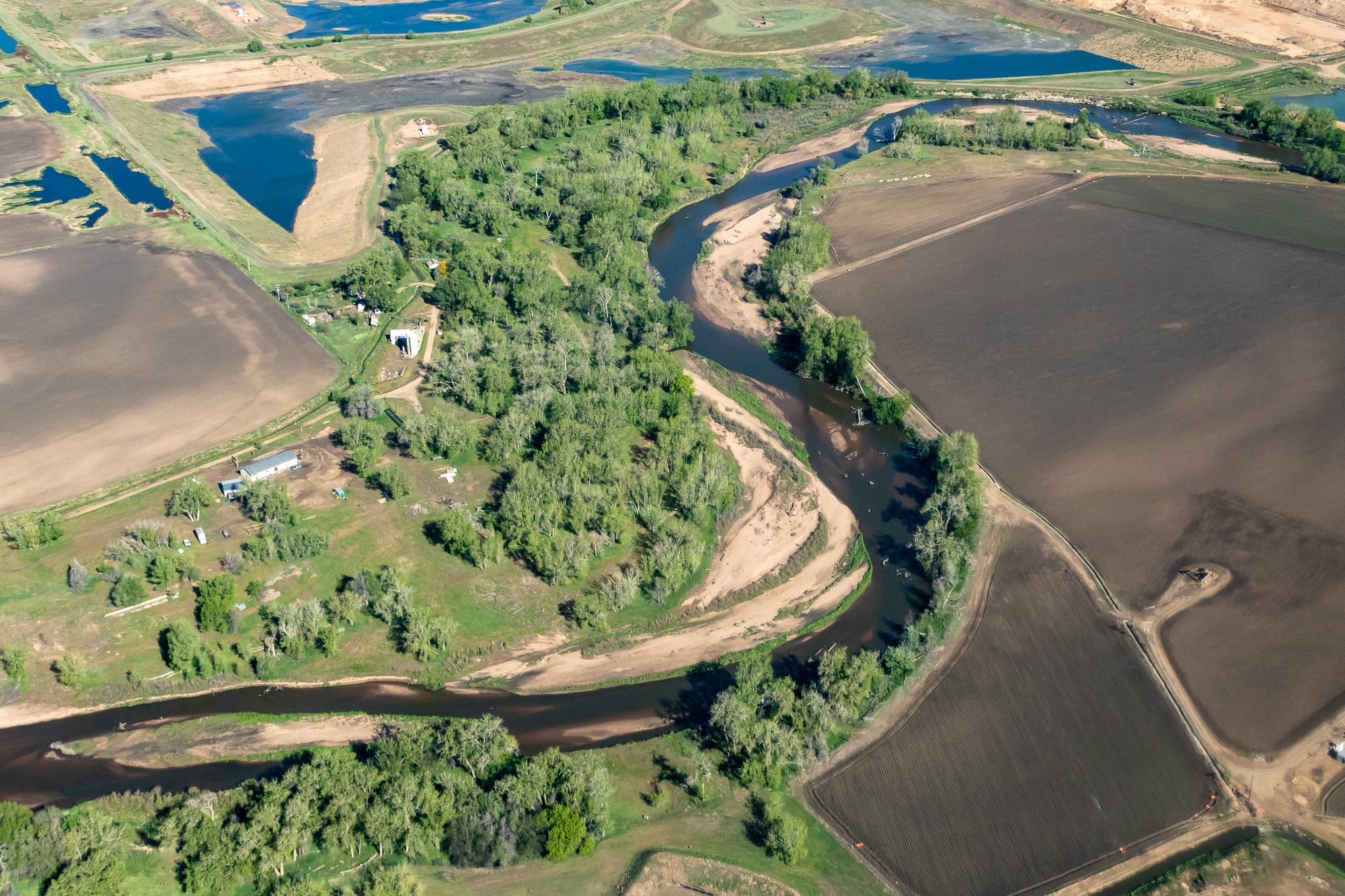
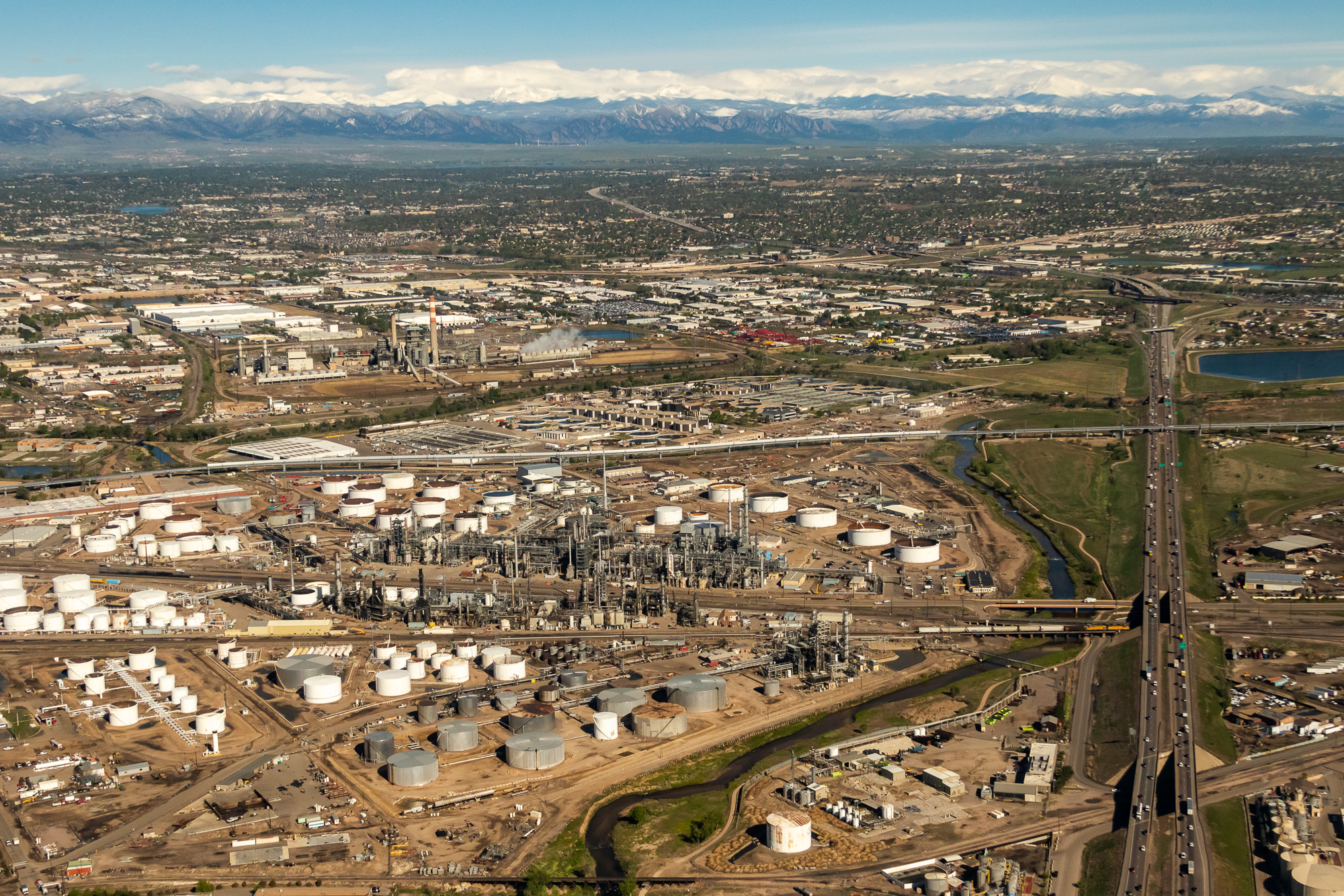
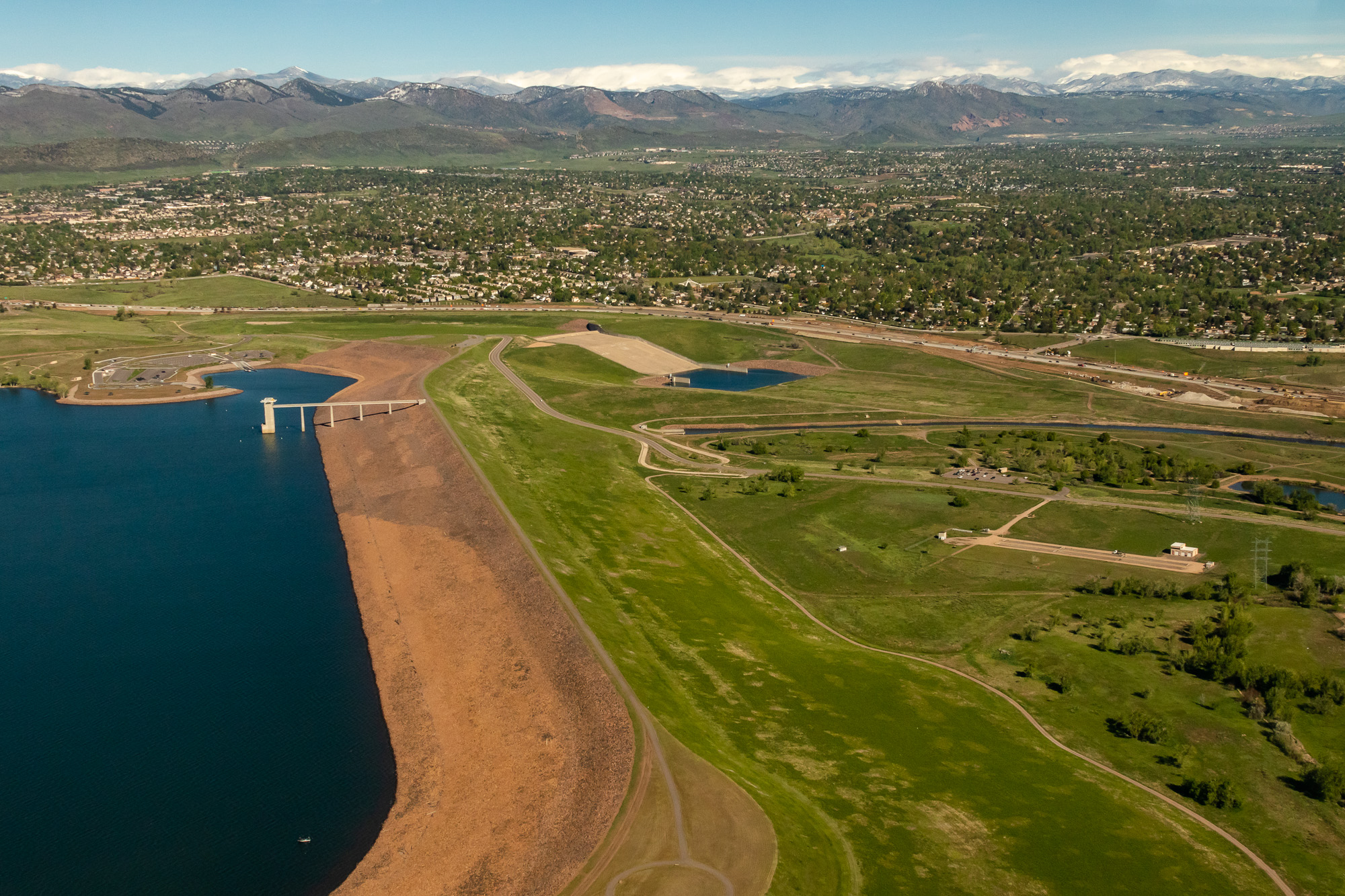
This photo gallery features images shot during a Lighthawk aerial tour of water-related sites along Colorado’s Front Range.
After departing from Rocky Mountain Metropolitan Airport in Broomfield, the flight headed north to Fort Collins, then proceeded south along the base of the foothills before passing over downtown Denver and Chatfield Reservoir.
| Date | May 24, 2019 |
| Location | Fort Collins, Boulder and Denver, Colorado |
| Photographer | Mitch Tobin |
| Organization | The Water Desk at the University of Colorado Boulder |
| Rights | Free to reuse under Creative Commons license, with credit to “Mitch Tobin/WaterDesk.org, with aerial support provided by Lighthawk” |
Featured images and descriptions

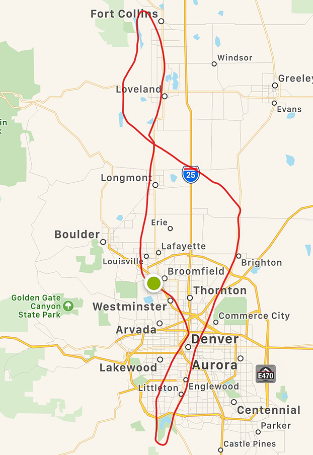
Map of the flight’s route
All images in this set
View this gallery for high-resolution downloads »


