Photos: Xeriscaping in Phoenix
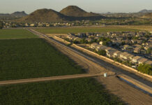
This page features photos of xeriscaping in Phoenix, Arizona.
Xeriscaping is the practice of designing landscapes to reduce or eliminate the need for irrigation. Homeowners can opt for yards filled...
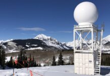
Scientists in the East River watershed collect ‘mountains of data’ to understand water in...
In a first-of-its-kind project, scientists will trace snow from where it arrives in the atmosphere, to where it melts into the ground.
Voters overwhelmingly pass Colorado River District tax hike
Western Slope voters have overwhelmingly passed a proposal by the Colorado River Water Conservation District to raise property taxes across its 15-county region.
Tulare County’s never-ending drought brings dried up wells and plenty of misery
In the rural towns around Visalia, drought is a perpetual plight and wells are going dry.
Western river compacts were innovative in the 1920s but couldn’t foresee today’s water challenges
Interstate river compacts were an innovative solution 100 years ago – but were written for a West far different from today.
Deadline passed
The seven states failed to meet a federal deadline of February 1st to agree on a plan to use less water from the Colorado River.
Brad Hicks of the...
Photos: Blue Mesa Reservoir, July 2021
This page features photos of Blue Mesa Reservoir, along the Gunnison River in Colorado's Curecanti National Recreation Area.
Created by 390-foot Blue Mesa Dam, the reservoir has a capacity of 829,500 acre-feet, making it...
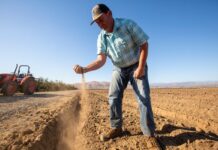
Arizona’s water supplies are drying up. How will its farmers survive?
By Stephen R. Miller, Food and Water Reporting Project
Photography by Bill Hatcher
You could almost visit Arizona without noticing it was a farming state. If you flew into Phoenix in an aisle seat,...
Video: Five years after the Gold King Mine spill
Environmental correspondent Laura Paskus revisits the Gold King Mine spill and the destructive impact of the toxic orange plume that went flowing down the Animas and San Juan rivers five years ago.
Photos: All-American Canal, February 2021
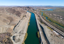
This page features aerial photos of the All-American Canal near Winterhaven, California.
The All-American Canal begins at the Imperial Dam in southeastern California and flows west—nearly parallel to the California-Mexico...


