Troubled waters
The Trump administration’s new definition of “waters of the United States” dramatically shrinks federal protection of many wetlands and waterways under the Clean Water Act. The rule change cuts red tape for farmers and developers but could threaten ecosystems and drinking water, especially in the arid West.
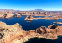
Aerial imagery: Colorado River and Lake Powell, October 2020
This page features images and footage shot with a GoPro camera during a Lighthawk flight above the Colorado River and Lake Powell in Utah and Arizona.
The flight included views...
Tour the San Joaquin River
An interactive map visualizes restoration efforts on the San Joaquin River.
Aerial video: Colorado River and Green River in Utah, October 2020
This page features video footage shot with a mounted GoPro camera during a Lighthawk flight above the Green River, Colorado River and their confluence in Utah's Canyonlands National Park.
The...
Unclear waters: How pollution, diversions and drought are squeezing the life out of the...
The Arkansas Valley Conduit promises to bring clean drinking water to more residents of southeast Colorado.
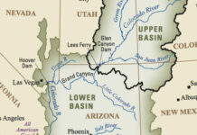
Data viz: surveying Colorado River Basin maps
This collection of Colorado River Basin maps includes public domain images and other cartographic resources for depicting the watershed.
Photos: Colorado River and tributaries, April 2019
This photo gallery features images shot during a road trip along the Colorado River and two of its tributaries in Colorado: the Blue River and White River.
DateApril...
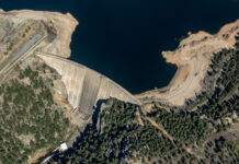
Photos: Gross Reservoir aerials, May 2019
This photo gallery features images shot during a Lighthawk aerial photo flight over Gross Dam and Reservoir, west of Boulder.
Denver Water has proposed raising the dam by 131...


